
No Commercial Flight Has Ever Crossed Directly Over Mount Everest — Here's the Real Reason Why
Everest's summit sits well within cruising altitude for a jet, but there's no safe way down from there in an emergency — which is exactly why every scheduled route bends around it, not over it.
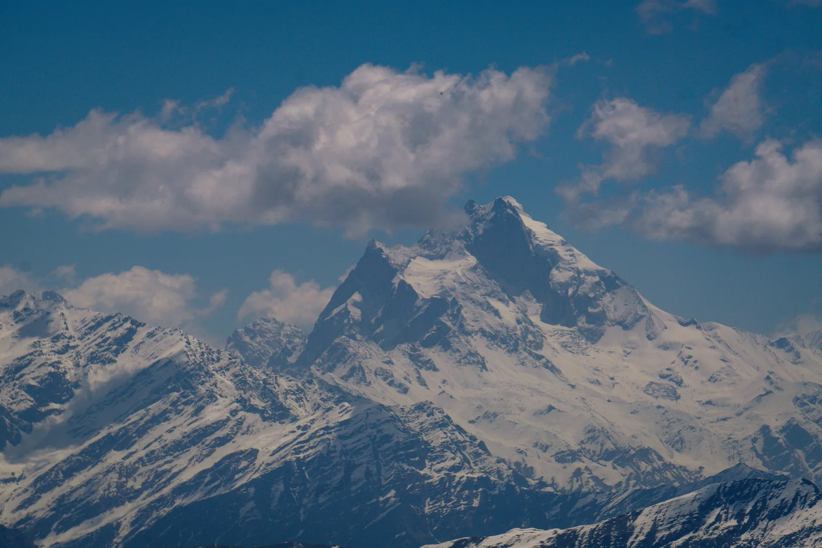
Key facts
- Everest's summit sits at 8,849m (29,032ft) — inside the altitude band where most long-haul jets cruise, yet no scheduled airline route crosses directly over it.
- Standard emergency procedure after a cabin decompression is to descend to 10,000ft (3,048m) within minutes so passengers can breathe without masks — a descent that isn't available over terrain that high.
- Minimum safe altitudes charted for the Everest corridor run close to 29,500ft in places, leaving almost no margin for an emergency descent at all.
- Kathmandu's daily tourist 'Mountain Flights' climb to about 25,000ft (7,600m) along the range's southern side — close enough to see Everest, Lhotse, Makalu and Cho Oyu, but never over the summit.
- China additionally restricts most foreign carriers from overflying Tibetan airspace on the mountain's north side, adding a political wall to the physical one.
Fly nonstop from Doha to Tokyo, or Delhi to Beijing, and your flight path will visibly bend — a wide, deliberate detour around a narrow belt of Himalayan peaks that includes the highest point on Earth. It looks strange on a flight-tracking app: airliners cruise at 33,000–40,000ft, well above Everest's 29,032ft summit, so on paper there's plenty of room to spare. In practice, no scheduled passenger flight crosses directly over Mount Everest, and the reason has nothing to do with the climb itself and everything to do with what happens if something goes wrong.
Airline emergency procedure for a sudden cabin decompression is blunt: passengers get the drop-down mask, and the crew descends the aircraft to 10,000ft — the altitude at which cabin air has enough oxygen for people to breathe unaided — as fast as it can be done safely, typically within a few minutes. That protocol assumes clear terrain all the way down. Over the Everest corridor there isn't any. Charted minimum safe altitudes in the region run close to 29,500ft in places, meaning regulations and simple rock require an aircraft to stay above roughly the same height as the mountain itself. A jet's emergency oxygen supply for passengers is built to last only around 12–22 minutes at cabin altitude — nowhere near long enough to hold a pattern until the terrain below finally clears.
Weather stacks a second risk on top of the altitude problem. The jet stream regularly slams into the Himalayan wall at well over 100mph, throwing up clear-air turbulence and mountain waves that are hard to forecast and unpleasant, sometimes dangerous, to fly through even at cruise altitude. Airlines that do route reasonably close to the range, largely for great-circle efficiency on Europe–East Asia runs, tend to give the highest peaks a wide lateral berth rather than a narrow one directly overhead. On the mountain's north side, Chinese airspace restrictions over Tibet limit most foreign carriers from overflying the region at all, reinforcing a detour that safety planning would likely produce on its own.
None of this is new. The first aircraft to cross Everest's summit did so on 3 April 1933, when the Houston–Mount Everest expedition sent two modified open-cockpit Westland biplanes over the top at around 100mph, their crews wearing early oxygen equipment and electrically heated suits against air estimated near −45°C — a specialist, one-off flight built for exactly that purpose, not a template anyone has turned into a passenger route in the 90-plus years since.
| Flight type | Typical altitude | Passes directly over the summit? |
|---|---|---|
| Long-haul airliner cruise | 33,000–40,000ft | No — routed around the range |
| Kathmandu Mountain Flight (tourist) | ~25,000ft | No — flies along the south side |
| Everest Base Camp helicopter tour | ~17,600ft (5,364m, at EBC) | No — lands below, alongside the massif |
| 1933 Houston–Everest expedition | ~31,000ft | Yes — the one confirmed exception, a single specialist flight |
What this means for travellers
What this means for you
If you actually want to get close to Everest rather than see it from a cruising airliner's window seventy miles off, air travel within Nepal is the way to do it, not a scheduled jet route. A helicopter tour puts you down at Everest Base Camp itself, around 5,364m, with the mountain's flanks close enough to fill the windscreen; trekking in on foot on the classic route, or a shorter guide-assisted variant, gets you to the same base camp at ground level with weeks rather than minutes to take it in. Either way, nobody — not us, not a scheduled airline — is putting you directly over the summit, and for the same reason the airlines stay clear: there is simply no safe way down from there.
Source: Simple Flying
Cover photo: Jayesh Chaudhary via Pexels (Pexels License).
来源: Simple Flying
计划徒步?
我们负责许可证、后勤与向导
NMA 认证的本地向导,价格透明,自 1998 年以来 5,000+ 次徒步。告诉我们你的日期,其余的交给我们。


更多「Flights & Access」
Flights & Access
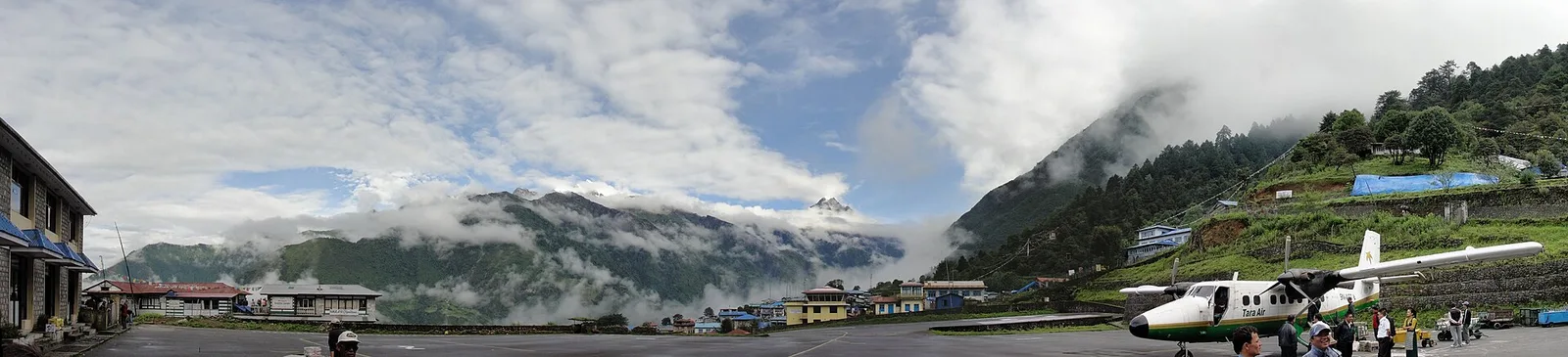
The World's Most Dangerous Airport Has No Go-Around Option — and It's the Only Way to Everest
Tenzing-Hillary Airport's runway is shorter than five football pitches, tilts uphill at nearly 12%, and ends in a rock wall on one side and a valley drop on the other — every Everest trekker flies through it anyway.
Flights & Access
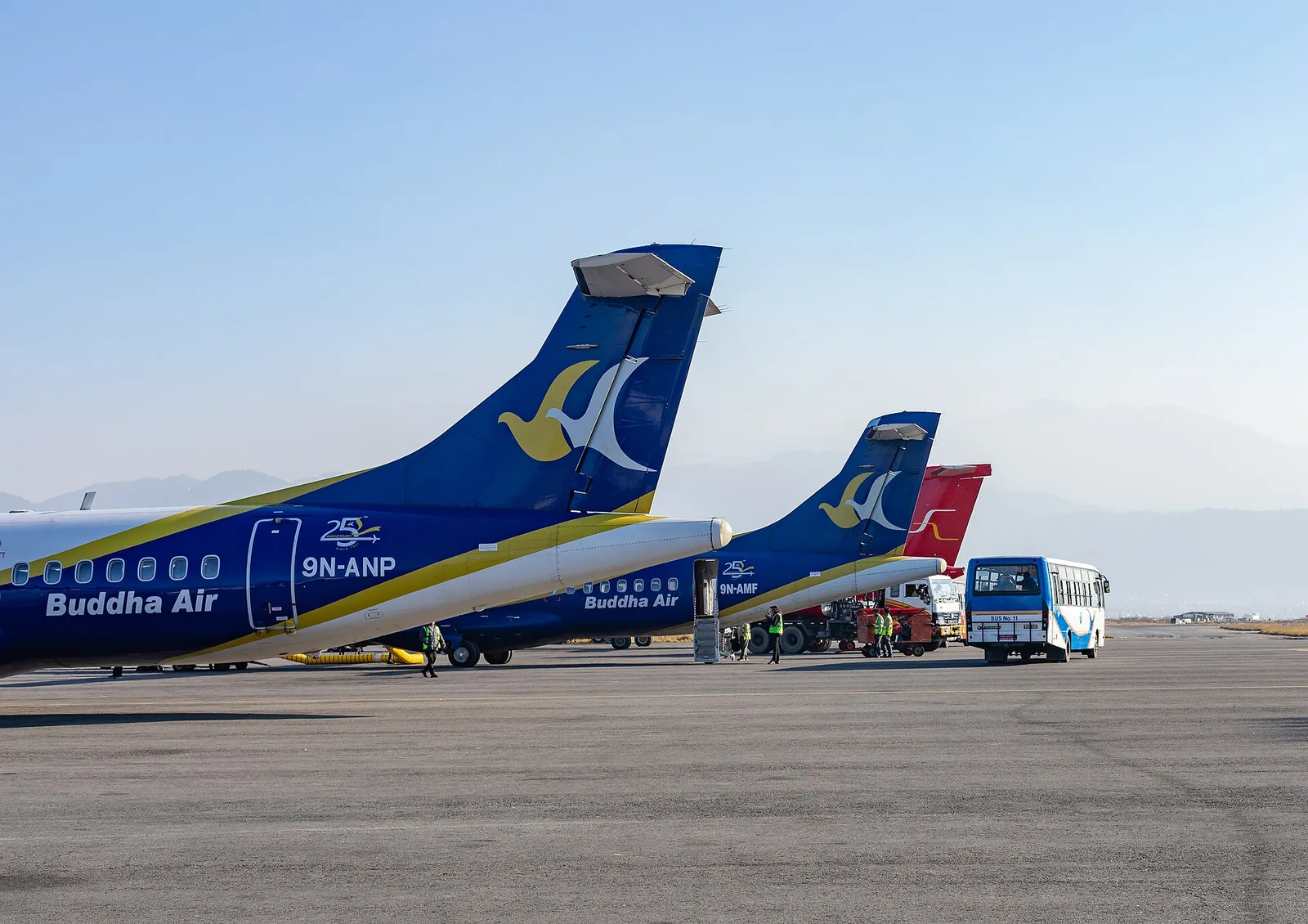
Daily Dubai–Pokhara Flights Land in September: The New 2026 Routes Making Nepal Easier to Reach
flydubai's first daily Dubai–Pokhara service, a new Kathmandu–Shenzhen route and extra Nepal Airlines flights to Tokyo are quietly reshaping how travellers reach the Himalaya in 2026.
重大 · Flights & Access
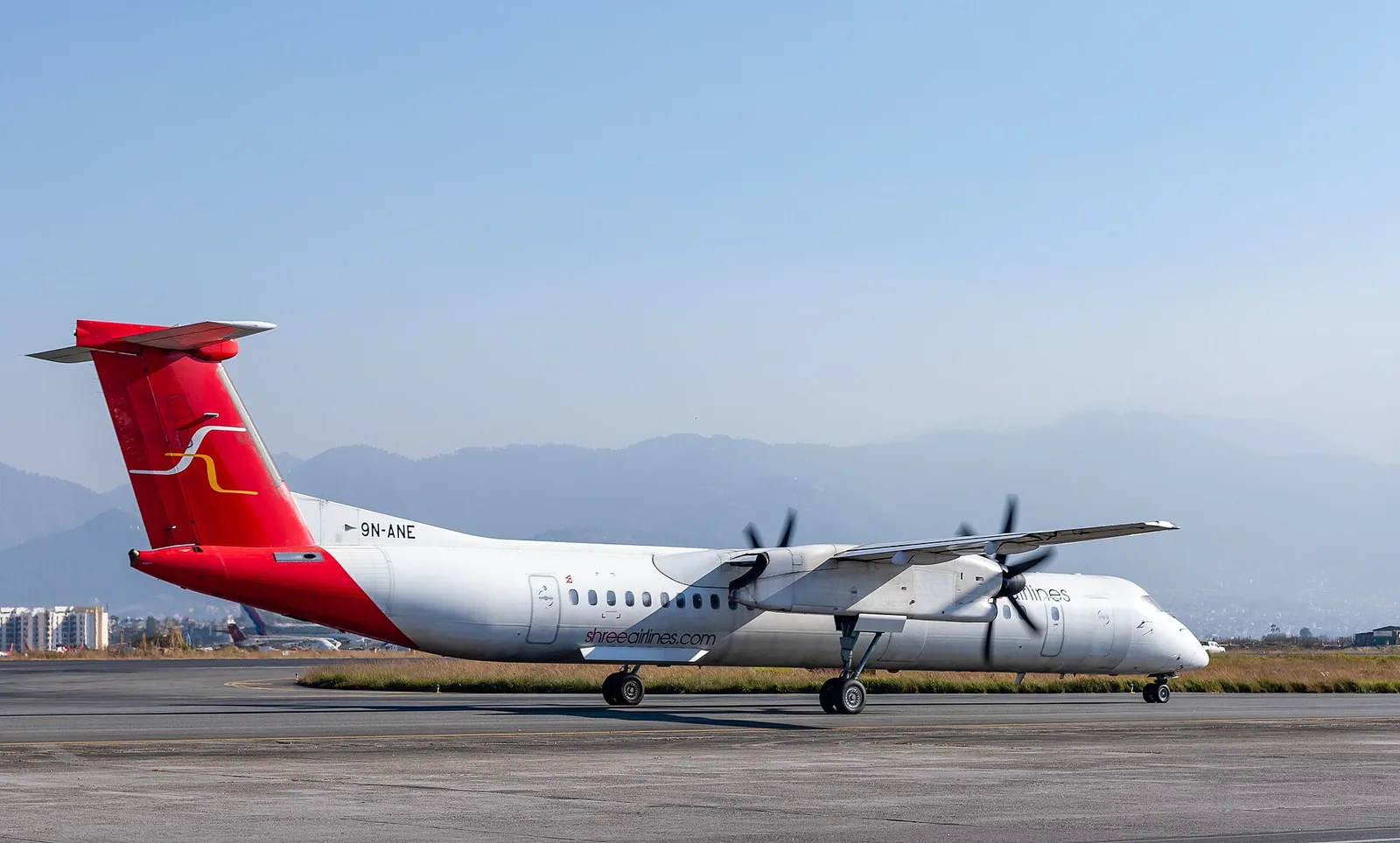
Nepal's Tourist Visa Goes Fully Digital on August 17, 2026 — What Actually Changes at the Airport
In twelve days, Nepal's Department of Immigration switches on a nationwide e-Visa system that lets trekkers apply, pay and get approved before they ever board a flight to Kathmandu.