
Is the Ama Dablam Base Camp Trek Affected by the 2026 Nepal Floods?
No — the Ama Dablam Base Camp trek in the Khumbu is running normally. The 26 August flood hit Rasuwa in the north, not the Everest region. Here is why Lukla flights and the Pangboche trail are unaffected.
📍 Developing story — live figures
The 2026 Nepal floods are a developing emergency and the casualty and damage numbers are still moving. For the latest verified death toll, missing and rescued figures, and region-by-region trek status, follow our continuously-updated Nepal Floods 2026: Live Updates — we do not freeze provisional numbers into a page like this one.
Last updated: 29 August 2026. If you are booked on the Ama Dablam Base Camp trek this autumn, this is the short, honest answer you came for.
Is the Ama Dablam Base Camp trek affected by the 2026 Nepal floods? No — the route is running completely normally. The flash flood of 26 August 2026 hit Rasuwa district in north-central Nepal: the Bhote Koshi river, the Tibet border at Rasuwagadhi, and the road into the Langtang valley. Ama Dablam Base Camp sits in the Khumbu — the Everest region — well over 100 km to the east, on the far side of major mountain ranges and fed by an entirely separate river, the Dudh Koshi. Flights to Lukla are operating, the trail through Namche and Pangboche is open, the lodges are running, and Ama Dablam is exactly where it always is. If your trip is booked for October or November, your plans stand.
Ama Dablam Base Camp trek — the honest status
- Affected? No. The flood was on the Bhote Koshi in Rasuwa, in Nepal's north. Ama Dablam Base Camp is in the Khumbu, in the east — a different watershed entirely, days apart on the map.
- Access? Open. The trek starts with a flight to Lukla. In the autumn season (25 September–30 November 2026) those flights run from Ramechhap (Manthali) rather than Kathmandu — a normal seasonal arrangement in place every spring and autumn, nothing to do with the flood. Hill weather can delay a Lukla flight, so we build a buffer day and confirm on the day.
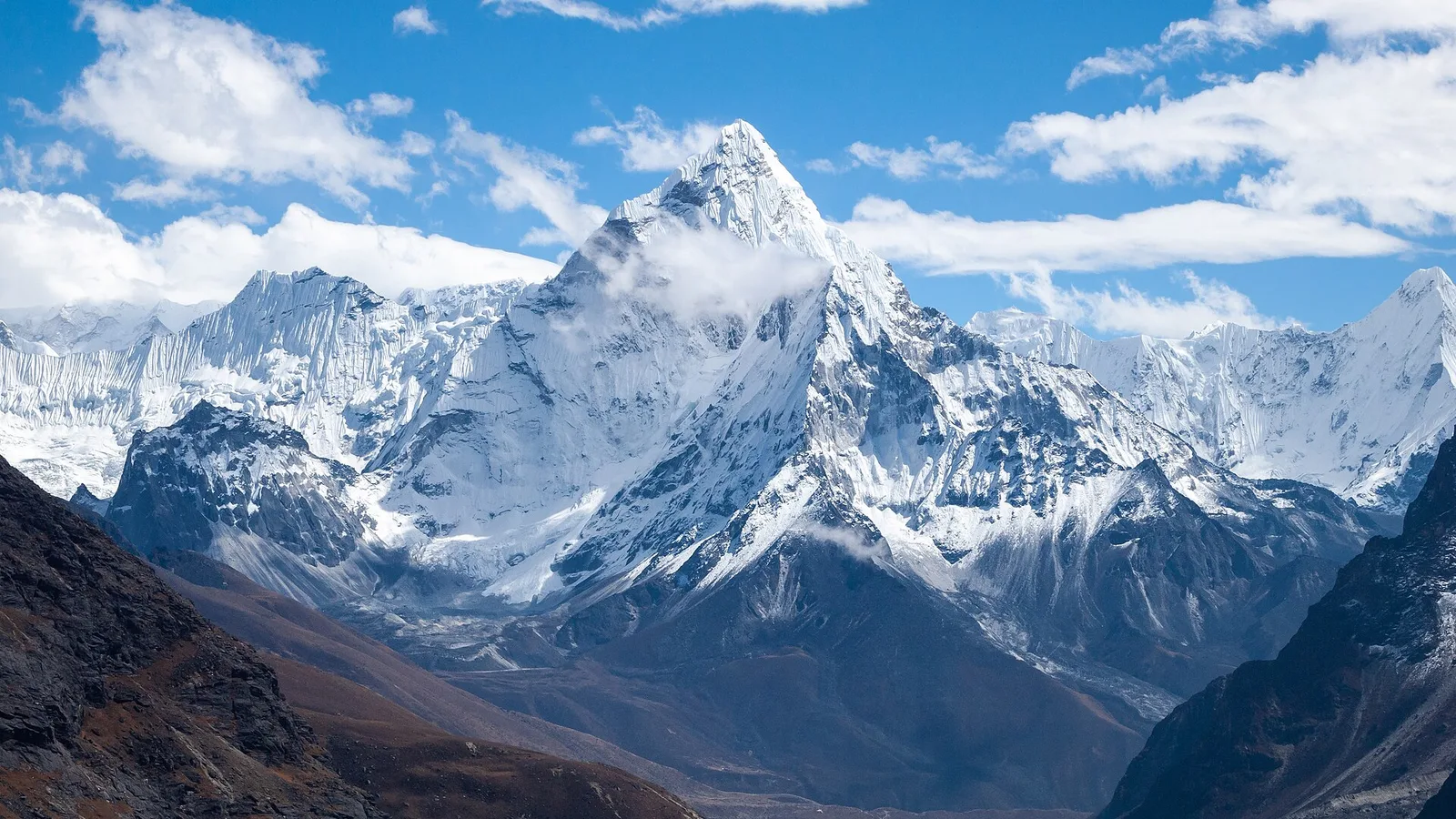
- Best season? October–November. Post-monsoon skies are clearest, Ama Dablam's fluted ridges stand out sharp, and the Rasuwa flood zone is nowhere near the route.
Where Ama Dablam Base Camp actually is
Nepal is not one small place where a single flood reaches everything. Its trekking regions are divided by great ranges and drained by rivers that do not meet until far down in the plains. The 26 August flood surged down the Bhote Koshi, which flows out of Tibet into Rasuwa and on into the Trishuli. The Ama Dablam trek follows the Dudh Koshi and its tributary the Imja Khola — a completely separate system. What happens on the Bhote Koshi has no physical bearing on the trail to Pangboche.
Ama Dablam (6,812 m) is the sharp, instantly recognisable peak that hangs over the Everest Base Camp trail — the “mother's necklace.” Its base camp sits at around 4,600 m on a grassy shelf just off the main EBC route above Pangboche, reached by the same trail: Lukla, Phakding, Namche Bazaar (3,440 m), Tengboche (3,867 m), then up the Imja valley. Rather than pushing all the way to Everest Base Camp, you branch to the foot of Ama Dablam itself — a quieter, shorter, lower objective with arguably the most dramatic single-mountain view in the Khumbu. In autumn the base-camp meadow also fills with expedition teams, which is a spectacle in its own right.
The worst-hit places in the flood were Timure and Syabrubesi in Rasuwa, with damage downstream at Betrawati and Trishuli. Syabrubesi is the road-head where nearly every Langtang trek begins — a completely different corner of the country. No part of the Ama Dablam journey passes through Rasuwa, touches the Bhote Koshi, or uses that road.
The Ama Dablam Base Camp trek, leg by leg
The clearest way to see why your trek is unaffected is to walk through it as we actually run it and check each stage against the flood zone.
| Region / stage | Status | What to do |
|---|---|---|
| Kathmandu (arrival, permits, briefing) | Normal | Nothing — unaffected central hub |
| Flight to Lukla (2,860 m), autumn via Ramechhap | Operating | Keep a buffer day; confirm the flight on the day |
| Phakding & the Dudh Koshi to Namche Bazaar (3,440 m) | Trail open, lodges running | Trek as planned |
| Tengboche & Pangboche (Imja valley) | Open, lodges running | Trek as planned; acclimatise properly |
| Ama Dablam Base Camp (~4,600 m) | Open, meadow normal | Trek as planned; carry insurance that covers the altitude |
| Rasuwa / Bhote Koshi corridor | Flood-hit | Not on this route — irrelevant to Ama Dablam |
Permits are the two the whole Everest region uses: the Sagarmatha National Park entry and the Khumbu Pasang Lhamu rural-municipality permit. Note the Everest region does not use the TIMS card. Neither permit is issued in or routed through Rasuwa, so the flood has no bearing on your paperwork.
So what should you actually plan around?
Not the flood — the real constraints on an Ama Dablam Base Camp trek are the ordinary Khumbu ones, and they deserve honesty. First, the Lukla flight is the single most weather-sensitive link in the trip, autumn or not, which is why we keep a buffer day and can talk you through a helicopter fallback if a weather window closes. Second, altitude: base camp is at roughly 4,600 m, so proper acclimatisation on the way up through Namche and Tengboche is not optional, and your travel insurance must cover trekking and helicopter rescue to at least 4,600–5,000 m. Third, season: October and November give the clearest skies and the busy, atmospheric expedition base camp; the monsoon summer hides the peak. None of that has changed because of Rasuwa. The one case to pause and confirm is if your wider itinerary routes through Rasuwa — a Langtang trek or an overland Tibet crossing — and we cover exactly which treks are on hold in the tracker below.
A local guide's take — Bishnu Adhikari
I plan the logistics for these Khumbu treks, so let me be plain. Ama Dablam Base Camp is more than 100 km east of the flood, over ranges, on a different river. There is no scenario where a flood on the Bhote Koshi reaches the Imja valley. Do not cancel a trip over a disaster in a valley you were never going to set foot in. Know your route instead. My thoughts are with the families in Rasuwa — that valley took a hard hit. But if your route is Ama Dablam, keep your dates: standing on that meadow in October with the peak straight overhead is one of the great sights in Nepal.
Booked, or thinking about it? Ask us anything — no pressure
If you want a straight answer about your specific dates, message us on WhatsApp or use our contact page. Our full Ama Dablam Base Camp route, day by day and with real prices, is here: Ama Dablam Base Camp Trek — 10 days. We will tell you honestly if anything on your itinerary needs a second look.
What you can book for autumn
Everest-region trips running normally this October and November
These are departures we are putting people on right now, priced from the per-person rate a group pays (solo rate is higher):
- Ama Dablam Base Camp Trek — 10 days · from US$980 per person in a group (US$1,400 solo). The quieter branch off the EBC trail to the foot of the Khumbu's most photogenic peak.
Prefer the classic higher route on the same unaffected trails? Ask us about Everest Base Camp — same watershed, same “running normally” status.
Related reading
- Nepal trekking conditions right now: region-by-region status after the 2026 floods
- Is the Everest Base Camp trek affected by the 2026 floods?
- Bhote Koshi flash flood, 26 August 2026: what happened in Rasuwa district
- Nepal Floods 2026: live updates, death toll and trek status
Sources: current Lukla-flight scheduling (autumn 2026 flights operating from Ramechhap/Manthali) per Nepal operator advisories and CAAN's peak-season arrangement; region and route details reflect our own on-the-ground knowledge of the Khumbu and Rasuwa. Flood figures are held in the live tracker, which we update as authorities confirm them; conditions in the flood zone are still being assessed. Always confirm your Lukla flight on the day.
If you want to help. Nepal’s official relief channel is the government’s Prime Minister’s Disaster Relief Fund — restricted by law to rescue, relief and rehabilitation, audited annually, and it takes international cards directly. We collect nothing and receive nothing. Be careful of account numbers circulating in forwarded messages: disaster fundraising draws scams within days.
Cover photo: Vyacheslav Argenberg via Wikimedia Commons (CC BY 4.0).
计划徒步?
我们负责许可证、后勤与向导
NMA 认证的本地向导,价格透明,自 1998 年以来 5,000+ 次徒步。告诉我们你的日期,其余的交给我们。

更多「Safety & Advisories」
Safety & Advisories
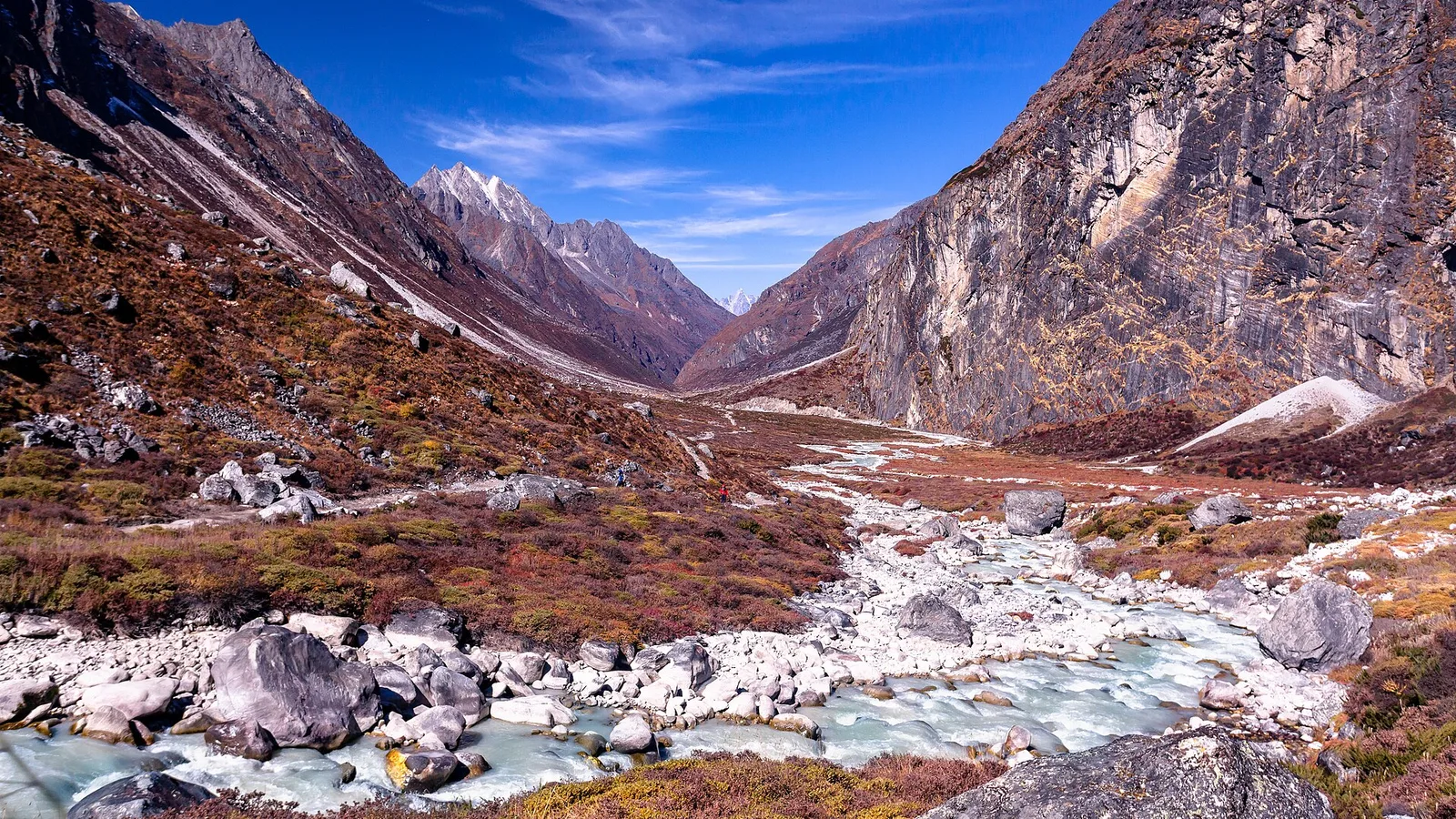
Is the Rolwaling Valley Trek Affected by the 2026 Nepal Floods?
No — Rolwaling, in Dolakha on the Tama Koshi, is a separate watershed from the flood-hit Rasuwa corridor and is running normally. Here is the honest status, plus the real things to plan around: the road, the Tashi Lapcha and the season.
Safety & Advisories
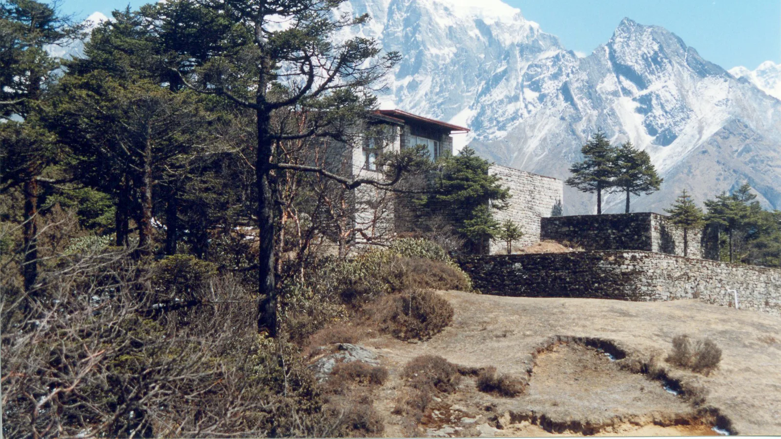
Is the Everest Panorama View Trek Affected by the 2026 Nepal Floods?
No — the Everest View (Panorama) trek in the Khumbu is running normally. The 26 August flood hit Rasuwa in the north, not the Everest region. Here is why Lukla flights and the Namche–Tengboche trail are unaffected.
Safety & Advisories
Is the Ganesh Himal / Ruby Valley Trek Affected by the 2026 Nepal Floods?
Partly — and this is the honest exception. The trail itself was not flooded, but its Syabrubesi gateway and the Kathmandu–Syabrubesi road were hit by the 26 August flood. Assess access before you go — or take an open alternative.