
Is the Pikey Peak Trek Affected by the 2026 Nepal Floods?
No — Pikey Peak is a road-access ridge trek in lower Solukhumbu, in the east, on a different river system from the flood-hit Bhote Koshi in Rasuwa. Here is why it is running normally — and the one road detail to confirm.
📍 Developing story — live updates
The 2026 Nepal floods are a nationwide, still-developing emergency and the figures are rising. For the latest verified death toll, missing and rescued numbers and trek status, follow our continuously updated Nepal Floods 2026: Live Updates.
Last updated: 29 August 2026. I plan logistics on these trails for a living, so let me give you the short answer first and then the detail behind it.
Is the Pikey Peak trek affected by the 2026 Nepal floods? No — Pikey Peak is in the lower Solukhumbu region, a completely different part of the country from the flood-hit north, and it is running normally. The flash flood of 26 August 2026 came down the Bhote Koshi into Rasuwa district, on Nepal's northern border with Tibet — the Langtang road-head at Syabrubesi and the Rasuwagadhi crossing. Pikey Peak sits east of Kathmandu in the Solu foothills of Solukhumbu, on a different set of rivers entirely. Nothing on the Pikey route was in the flood zone, and the drive to the trailhead runs the opposite way from the damaged roads. If you have a Pikey Peak trip booked for October or November, your plans stand.
Pikey Peak — the honest status
- Affected by the 26 August flood? No. That flood was on the Bhote Koshi in Rasuwa, in the far north. Pikey Peak is in lower Solukhumbu to the east, on the Solu side of the Dudh Koshi and Likhu drainage — a separate watershed the flood never touched.
- No Lukla flight, no high altitude. Pikey is a road-access teahouse trek. You drive in; you do not fly. The ridge summit is about 4,065 m — high enough for a huge Everest-to-Kanchenjunga panorama, low enough that altitude sickness is rarely the issue it is at Base Camp.
- The drive goes the other way. You leave Kathmandu heading east toward Jiri and the Dhap road-head — away from Rasuwa, away from the Betrawati–Syabrubesi road that the flood destroyed.
- Best season is weeks away. The flood hit in late monsoon. The Pikey season is October–November (and again March–April), when the rain stops and the ridge views open up.
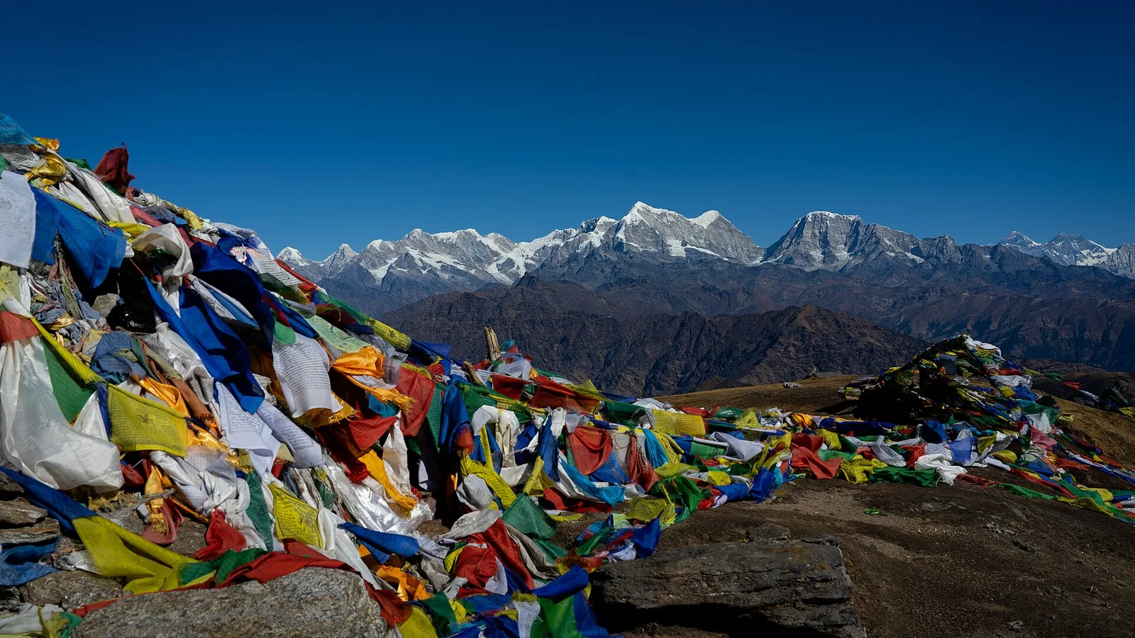
- It is one of the most forgiving big-view treks in Nepal. Gentle days, real villages, Sherpa and Rai culture, and the view Sir Edmund Hillary called his favourite in Nepal — without the crowds or the altitude of the Khumbu.
Where Pikey Peak actually is
Nepal is not one small place where a single flood touches everything. Its trekking regions are separated by great ranges and drained by rivers that stay apart until they reach the plains. The 26 August flood surged down the Bhote Koshi, which flows out of Tibet into Rasuwa and on into the Trishuli, hitting Timure and Syabrubesi hardest, according to reporting collated by Wikipedia's running summary and outlets including CNN. That corridor is in the north of the country.
Pikey Peak is in the Solu — the lower, greener, southern half of the Solukhumbu district, well to the east of Kathmandu. You reach it by road: a long day's drive out along the Jiri highway and up the hill roads to the small road-head at Dhap, then a few days walking the ridge through Sherpa and Rai villages to the summit at around 4,065 m. Everything about that journey — the direction of travel, the rivers it follows, the villages it passes — is separate from the flood-hit north. There is no point on the Pikey route where you cross the Bhote Koshi, pass through Rasuwa, or use the roads that were washed out.
I want to be straight about the one honest caveat, because it applies to every hill trek in Nepal right now. This is a nationwide monsoon emergency, and the last days of the monsoon can still put a landslide across any mountain road for a few hours. On the Pikey approach that means the Dhap hill road, not the flood zone — ordinary late-August road behaviour that clears quickly and firms up as autumn comes. It is a thing to confirm on the day you drive, not a reason to cancel.
The Pikey Peak trek, stage by stage
The clearest way to see why your trek is fine is to walk it as we actually run it and check each stage against the flood zone.
| Stage / region | Watershed & where it is | Status & what to do |
|---|---|---|
| Kathmandu (arrival, permits, briefing) | Central hub | Normal — permits issued as usual |
| Drive east to Dhap road-head | Jiri highway, Solu hill roads (east of Kathmandu) | Running; a late-monsoon landslide can delay the drive — confirm the road on the day |
| Dhap → Jhapre → Pikey Base Camp | Solu ridges, Solukhumbu | Trail open, teahouses running |
| Pikey Peak summit (~4,065 m) at sunrise | Solu ridge, Solukhumbu | Open — not in the flood zone |
| Descent through Sherpa & Rai villages | Solu, toward Phaplu / Salleri | Open, teahouses running |
| Return drive to Kathmandu | Solu hill roads & Jiri highway | Open — the opposite direction from Rasuwa |
None of this passes through the flood-affected north, and none of your trekking permits are issued there. Pikey sits within the Gaurishankar Conservation Area, and that paperwork is arranged in Kathmandu before you set out — nowhere near Rasuwa. If you want the wider picture on which regions are open and which need care, we keep a plain region-by-region status page updated.
How we run Pikey Peak this autumn
Nothing exotic — the same discipline that makes this trek reliable in a normal year. We watch the Dhap road forecast and, if a landslide closes a section, we adjust the drive or start point rather than push through mud. Because Pikey tops out below 4,100 m, altitude is rarely the problem it is on higher treks, but we still walk it at a sensible pace. And we book you with a guide who monitors conditions daily and will tell you the truth — including “we leave an hour later” when a hillside is still shedding water.
A local guide's take
Let me be precise rather than reassuring. The 26 August flood was a Bhote Koshi event in Rasuwa, in the north. Pikey Peak is a Solu trek in eastern Solukhumbu, reached by a road that runs the other way out of Kathmandu. Two different regions, two different river systems, and no shared road between them. The only thing worth checking for Pikey is whether a late-monsoon landslide is slowing the Dhap drive on the morning you travel — a delay, not a danger. Cancelling a Pikey trip over a flood in the far north would be the wrong call. Knowing your route is the right one.
What you can book for autumn
Pikey Peak departures running normally this October and November
This is the trip we are putting people on right now, priced from the per-person rate a small group pays:
- Pikey Peak Trek — 7 days · from US$680 per person in a group of eight (US$935 solo). The best Everest panorama in Nepal without a Lukla flight or the altitude of Base Camp.
Want to check a specific date or the road status before you commit? Message us on WhatsApp or use the contact form. No pressure — if a date does not look right, I will tell you.
Related reading
- Nepal trekking conditions right now: region-by-region status after the 2026 floods
- Bhote Koshi flash flood, 26 August 2026: what happened in Rasuwa district
- Nepal Floods 2026: live updates, death toll and trek status
Sources: Wikipedia — 2026 Nepal floods; CNN live coverage. Road-access notes reflect normal late-monsoon conditions on the Solu approach and should be reconfirmed on the day of travel.
Cover photo: Nirojsedhai via Wikimedia Commons (CC BY-SA 4.0).
计划徒步?
我们负责许可证、后勤与向导
NMA 认证的本地向导,价格透明,自 1998 年以来 5,000+ 次徒步。告诉我们你的日期,其余的交给我们。

更多「Safety & Advisories」
Safety & Advisories
Is the Mera Peak Climb Affected by the 2026 Nepal Floods?
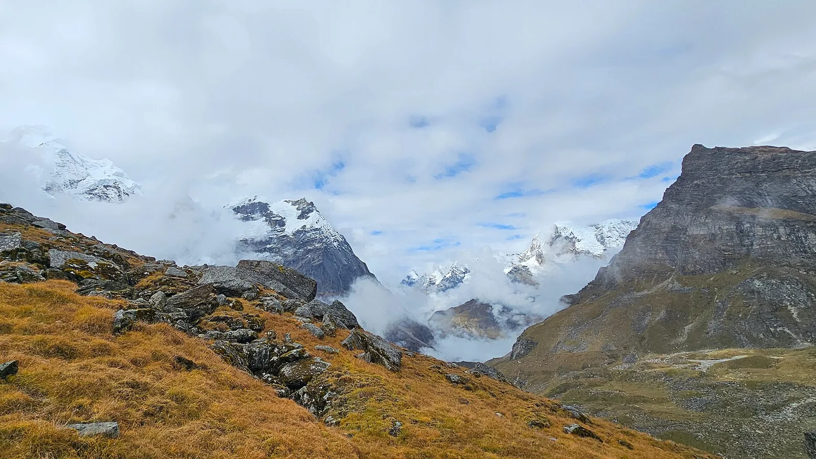
No — Mera Peak is in the Hinku valley of the Everest region and the climb is running normally. The 26 August flood hit Rasuwa in the north. What decides your summit is Lukla flights, acclimatisation, the weather window and your NMA permit — not the flood.
Safety & Advisories
Is the Island Peak Climb Affected by the 2026 Nepal Floods?
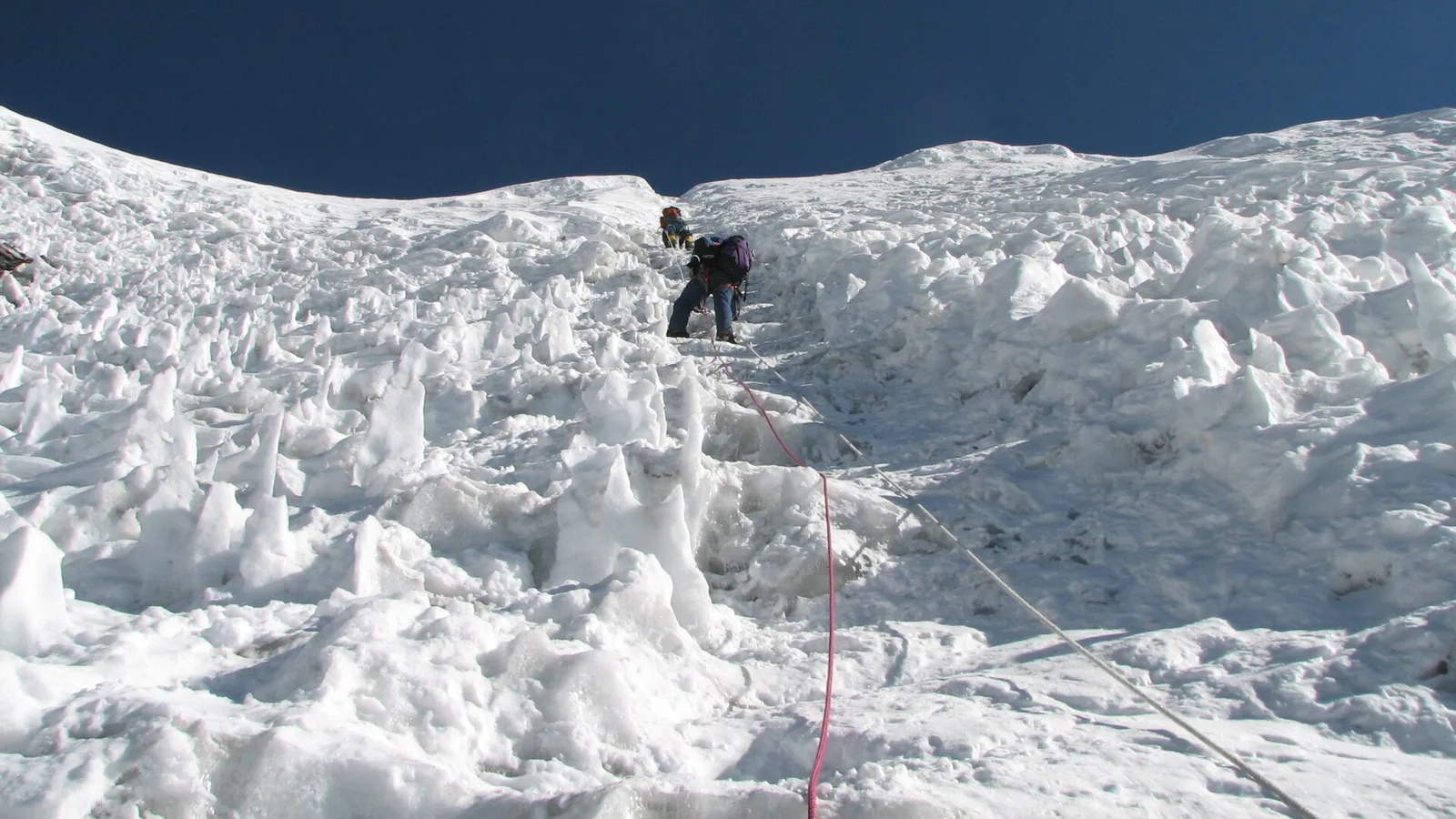
No — Island Peak (Imja Tse) is in the Khumbu, Everest region, and the climb is running normally. The 26 August flood hit Rasuwa in the north. What decides your summit is Lukla flights, acclimatisation, the weather window and your NMA permit — not the flood.
Safety & Advisories
Is the Makalu Base Camp Trek Affected by the 2026 Nepal Floods?
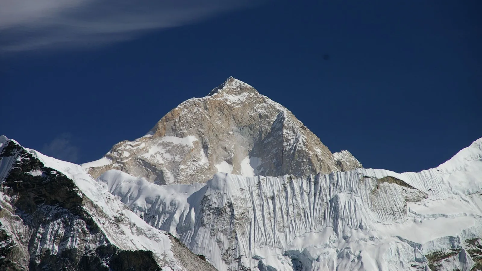
No — Makalu is in the far east of Nepal, running normally. The 26 August flood hit Rasuwa in the north, ~250–300 km away. Here is why the Tumlingtar flight and the Barun-valley trail are unaffected.