
Is the Kanchenjunga Trek Affected by the 2026 Nepal Floods?
Short answer: no. The Kanchenjunga trek is in the far east of Nepal, in Taplejung district, roughly 600 km from the flood-hit Rasuwa corridor. It is a different region on a different river, and it is running normally.
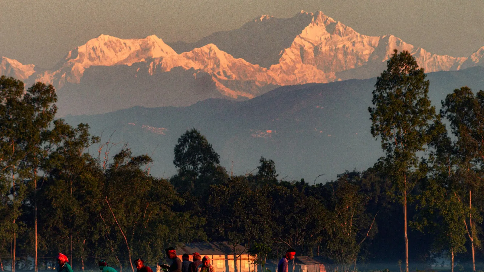
The honest answer up front: no. The Kanchenjunga trek is not affected by the 2026 floods. Of all the treks people are asking us about this week, Kanchenjunga is the easiest one to answer, because it is about as far from the flood as you can get and still be in Nepal. The 26 August flood came down the Bhote Koshi in Rasuwa district, on the central-north border with Tibet. The Kanchenjunga trek is in Taplejung, in the far eastern corner of the country — roughly 600 km away by the map. If you want the plainly safe far-east option this season, this is it.
Kanchenjunga — the three questions that matter
- Is it affected by the flood? No. Taplejung is in the far east, on the Tamor river system, which drains east and south — nowhere near the Bhote Koshi / Trishuli in Rasuwa. Different watershed, different end of the country.
- Can I get there right now? Access is unaffected but it is a long haul: fly Kathmandu → Bhadrapur, then a 6–9 hour jeep up winding hill roads to Taplejung and the trailhead. Those hill roads can be rough and slow in late monsoon, so we confirm the drive on the day — but the region is open.
- When should I actually go? This is a big autumn or late-spring trek: October–November and April–May. It is a ~3-week itinerary at real altitude, so it is planned for the clear seasons, not the monsoon.
Why the flood cannot reach Kanchenjunga
Kanchenjunga (8,586 m) is the world's third-highest mountain, sitting right on the Nepal–India (Sikkim) border in the far east. The trek to its north and south base camps runs up the Tamor river valley and its tributaries, which flow east and south toward the plains — a completely separate drainage from the central Himalaya. The Rasuwa flood was a surge down the Bhote Koshi, which joins the Trishuli in the middle of the country. There is no river, road or trail that connects the two. When we say Kanchenjunga is unaffected, it is not reassurance — it is geography.
It is worth adding some honest nuance about the eastern monsoon, though. In June, July and August the lower Tamor valley gets heavy rain, leeches on the forest trail, and the usual monsoon landslide risk on the approach roads. The far east does sit partly in an eastern rain shadow that makes it a touch less violent than the central ranges, but "less" is not "none". This is not the season anyone treks Kanchenjunga anyway — and that timing is a feature, not a problem, right now.
| Region / route | Status | What to do |
|---|---|---|
| Kanchenjunga (Taplejung, far east) | Unaffected — running normally | Plan for autumn/spring; allow buffer days for the long jeep approach |
| Everest (Khumbu) & Annapurna | Open, unaffected | Fine to book |
| Rasuwa / Langtang corridor | Flood-hit — access cut | Defer; follow the live tracker |
| Kathmandu | Unaffected — normal | Fly in and connect onward as planned |
The permit and the paperwork — unchanged by the flood
Kanchenjunga is a restricted area. That means you cannot trek it solo: you need a Restricted Area Permit (RAP), a minimum of two trekkers, a registered agency, and the Kanchenjunga Conservation Area permit. None of that has changed because of the floods — restricted-area permit processing in Kathmandu is running normally. If you have read that "permits are disrupted", that refers to the Langtang/Rasuwa area, not the east.
How we run Kanchenjunga safely
This is one of the most committing treks in Nepal — remote, long, and high, with far fewer lodges than Everest or Annapurna (fewer than a thousand foreigners a year come here). We run it with an experienced guide who knows the Tamor valley, build in proper acclimatisation for the high camps and passes, and plan the road approach with buffer days so a slow, wet jeep leg never eats into your mountain time. Because the trail spends most of its length climbing well above the valley floor, the flash-flood risk that dominates monsoon headlines is not the operative hazard here — altitude and remoteness are what we manage.
For the current country-wide picture we keep a live Nepal trekking conditions page, the flood itself is documented in our Bhote Koshi flash flood report, and the provisional, still-rising figures live on our Nepal floods live updates tracker — we send you there rather than hard-code a number that is changing by the day.
Considering Kanchenjunga? Let's talk timing and logistics
It is a serious trek and we would rather set your expectations honestly before you book. Reach us on WhatsApp, use the contact form, or see the full itinerary, permits and price on our Kanchenjunga Base Camp Trek (22 days) page. No pressure — if your dates don't suit this route, we'll say so.
Cover photo: Sajjad hossain photography via Wikimedia Commons (CC BY-SA 4.0).
计划徒步?
我们负责许可证、后勤与向导
NMA 认证的本地向导,价格透明,自 1998 年以来 5,000+ 次徒步。告诉我们你的日期,其余的交给我们。

更多「Safety & Advisories」
Safety & Advisories
Is the Khopra Danda Trek Affected by the 2026 Nepal Floods?
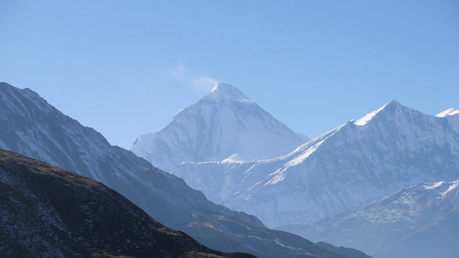
Short answer: no. The Khopra Danda (Khopra Ridge) trek sits in the Annapurna region, reached from Pokhara, and is running normally. The 26 August flood hit the Rasuwa / Langtang corridor about 200 km east — a completely different river system.
Safety & Advisories
Is the Upper Mustang Trek Affected by the 2026 Nepal Floods?
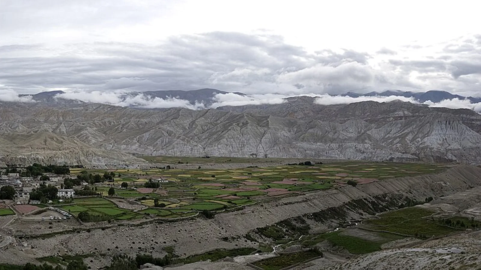
No — and Upper Mustang is one of the driest, safest regions to trek right now. The 26 August flood hit Rasuwa; Mustang sits in the rain shadow behind the Himalaya, dry and open.
Safety & Advisories
Is the Everest Three High Passes Trek Affected by the 2026 Nepal Floods?
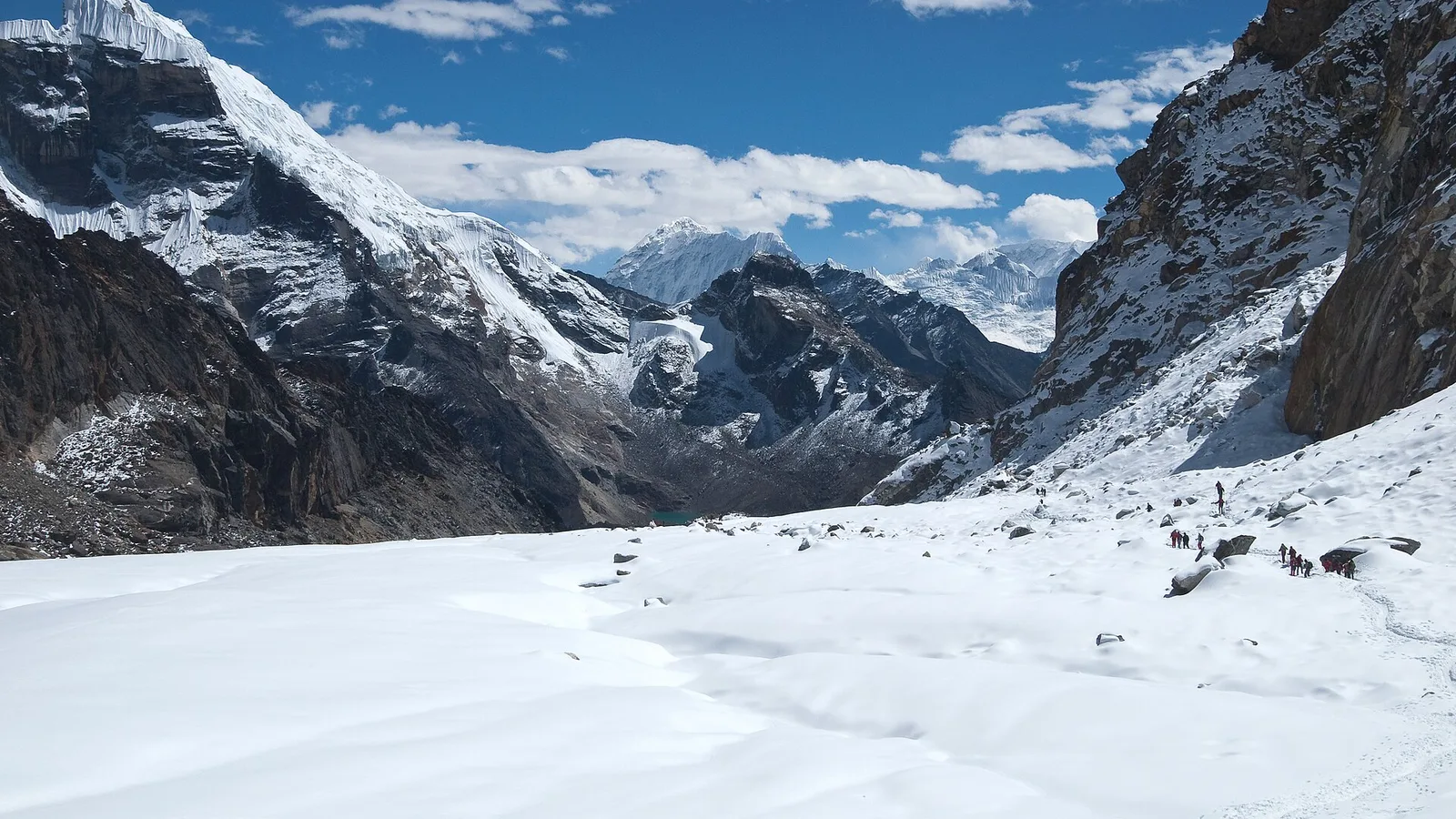
No — the Kongma La, Cho La and Renjo La are all running normally. The 26 August flood hit Rasuwa in the north, not the Khumbu. Here is why the Everest high passes are unaffected.