
Is the Kapuche Lake & Sikles Trek Affected by the 2026 Nepal Floods?
No — Kapuche Lake and Sikles sit in the Annapurna region east of Pokhara, on a different river system from the Rasuwa flood, and the route is running normally. Here is the honest status and the late-monsoon road note.
📍 Developing story — live updates
The 2026 Nepal floods are a nationwide, still-developing emergency and the figures are rising. For the latest verified death toll, missing and rescued numbers and region-by-region trek status, follow our continuously updated Nepal Floods 2026: Live Updates.
Last updated: 29 August 2026. Kapuche Lake has been having a moment online, so plenty of people are asking whether the floods have spoiled the plan. Here is the honest answer first, then the detail.
Is the Kapuche Lake and Sikles trek affected by the 2026 Nepal floods? No — it is in the Annapurna region east of Pokhara, on a different river system from the flood, and the route is running normally. The flash flood of 26 August 2026 struck Rasuwa district in north-central Nepal, on the Bhote Koshi above the Langtang valley. Sikles and Kapuche Lake sit in Kaski district in the Annapurna foothills, reached by a 3–4 hour jeep from Pokhara, and drained by the Madi Khola — not the Bhote Koshi. Pokhara is normal, the ACAP permit is issued as usual, and the trail up to the lake is open. The only things to plan around are the ordinary late-monsoon state of the rough jeep road and the last rocky section to the lake — both of which settle down through October.
Kapuche Lake & Sikles trek — the honest status
- Affected by the flood? No. The flood was in Rasuwa, on the Bhote Koshi. Kapuche and Sikles are in the Annapurna region, drained by the Madi Khola (which feeds the Seti Gandaki) — a separate watershed, well over 150 km from the flood zone.
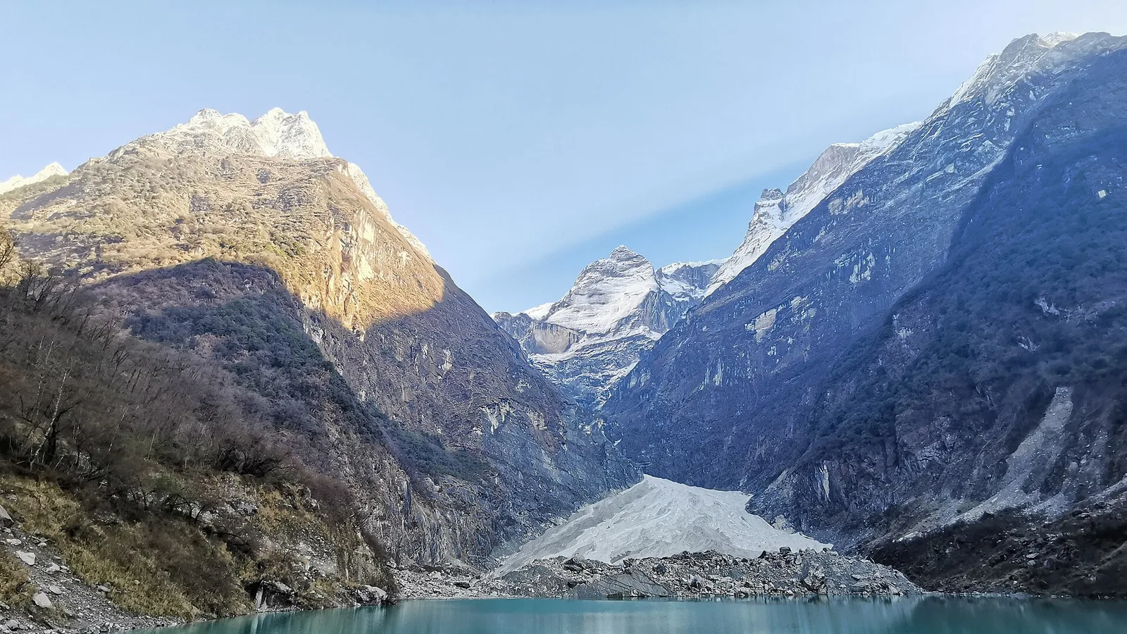
- It is a low, short trek to a rare lake. Kapuche sits at about 2,546 m beneath Annapurna II and Lamjung Himal — one of the lowest glacial lakes in Nepal, when almost every other one is above 4,000 m. No pass, no altitude drama.
- Access is from Pokhara. A roughly 40 km, 3–4 hour 4WD jeep to Sikles village, then you walk. Pokhara itself is completely unaffected by the Rasuwa flood.
- Two honest, seasonal caveats. In the tail of the monsoon the rough jeep road to Sikles can be slow and muddy, and the final rocky, narrow trail from Hugu Goth to the lake is slippery when wet — so we time the lake day for a dry morning and take it steadily. That is normal monsoon-tail trail behaviour, not flood damage.
- Best season is right ahead. September through November is prime, with October and November giving the clearest water and mountain reflections. That window is here now and nowhere near the affected area.
Why the eastern Annapurna foothills are a world away from Rasuwa
Nepal's trekking regions are separated by great ranges and drained by rivers that never meet in the mountains. The 26 August flood came down the Bhote Koshi out of Tibet into Rasuwa, hitting Timure and Syabrubesi hardest according to reporting collated by Wikipedia's running summary and outlets including CNN. Syabrubesi is the road-head for Langtang treks, a long day north of Kathmandu.
Sikles and Kapuche lie in the Annapurna Conservation Area, on the Madi Khola side of the range, reached from Pokhara. Their meltwater and streams drain into the Madi Khola and on into the Seti Gandaki — not the Bhote Koshi or the Trishuli. A flood in Rasuwa has no physical route to this valley. The two regions are on opposite sides of the country.
The Kapuche & Sikles trek, stage by stage
Here is the whole trek, checked stage by stage against the flood zone.
| Region / stage | Where it is | Status & what to do |
|---|---|---|
| Pokhara (start point) | Central-west Nepal, Annapurna gateway | Normal — unaffected |
| Jeep Pokhara → Sikles village | Madi Khola side, Kaski district | Running; slow and muddy in late monsoon, so allow extra time |
| Sikles → Hugu Goth (Kapuche base) | Oak & rhododendron forest, ACAP | Trail open, teahouses / camps running |
| Hugu Goth → Kapuche Lake (~2,546 m) | Below Annapurna II & Lamjung Himal | Open — final rocky trail slippery when wet; go on a dry morning |
| Optional Kori Danda extension | Ridge above Sikles | Open |
| Permit: ACAP + TIMS | Issued in Pokhara / Kathmandu | Issued normally |
The trek runs on the ACAP permit plus the TIMS card, both issued in Pokhara or Kathmandu — not in Rasuwa, and not affected by the flood. Nepal's permit desks are open and processing as usual; the paperwork is covered in full in our Annapurna ACAP & TIMS guide.
How we run Kapuche this autumn
This is a short, low, high-reward trek, and autumn is when it is at its best. Once the monsoon clears the rough road to Sikles firms up, the forest dries and the leeches go, and Kapuche's water turns the clear turquoise the photos are famous for. We keep it honest: a realistic jeep timing rather than a heroic one, a night in Sikles to break the drive, and the lake walk timed for a dry, bright morning so the last rocky stretch is safe and the reflection is there when you arrive. As on any trek, decent travel insurance is worth having even at this modest altitude.
A local guide's take
Kapuche has gone a bit viral, and I understand why — a glacial lake you can reach at 2,500 metres in a long weekend from Pokhara is a rare thing. So let me be clear: the flood does not touch this trek. It was on the far side of Nepal, on the Bhote Koshi, above Langtang. Here, the two things I actually manage are the jeep road, which is slow when it is wet, and the last rocky push to the lake, which I only do on a dry morning. Come in October and the water is at its best. Give the drive the time it needs and you will have a very easy trip.
What you can book for autumn
Kapuche & Sikles departures running normally this autumn
This is the exact trip we are running right now, priced from the per-person rate a small group pays:
- Kapuche Lake & Sikles Trek — 5 days · from US$340 per person in a group of eight (US$490 solo). Pokhara, Sikles, and the lowest glacial lake in Nepal — low, short and open.
Want to add the Kori Danda ridge, or check a start date around a dry-weather window? Message us on WhatsApp or use the contact form. I will give you a straight read on the road and the weather for your dates.
Related reading
- Nepal trekking conditions right now: region-by-region status after the 2026 floods
- Is the Mardi Himal trek affected by the 2026 floods?
- Bhote Koshi flash flood, 26 August 2026: what happened in Rasuwa district
- Nepal Floods 2026: live updates, death toll and trek status
Sources: Wikipedia — 2026 Nepal floods; CNN live coverage. Road and trail notes reflect normal late-monsoon conditions on the Pokhara–Sikles approach and the Hugu Goth–Kapuche section, and should be reconfirmed on the day of travel.
Cover photo: Sarojpandey via Wikimedia Commons (CC BY-SA 4.0).
计划徒步?
我们负责许可证、后勤与向导
NMA 认证的本地向导,价格透明,自 1998 年以来 5,000+ 次徒步。告诉我们你的日期,其余的交给我们。

更多「Safety & Advisories」
Safety & Advisories
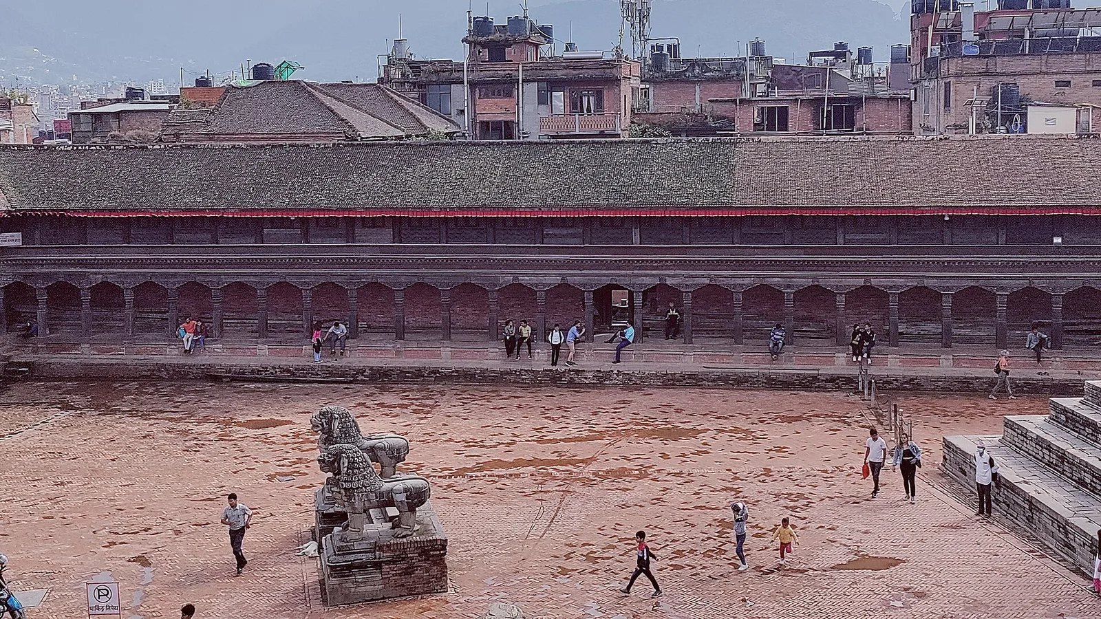
Is a Kathmandu Valley Tour Affected by the 2026 Nepal Floods?
No — Kathmandu is the capital, at about 1,400 m in central Nepal, well south of the Rasuwa flood. The airport is running normally and every UNESCO heritage site in the valley is open. Here is the honest, detailed status.
Safety & Advisories
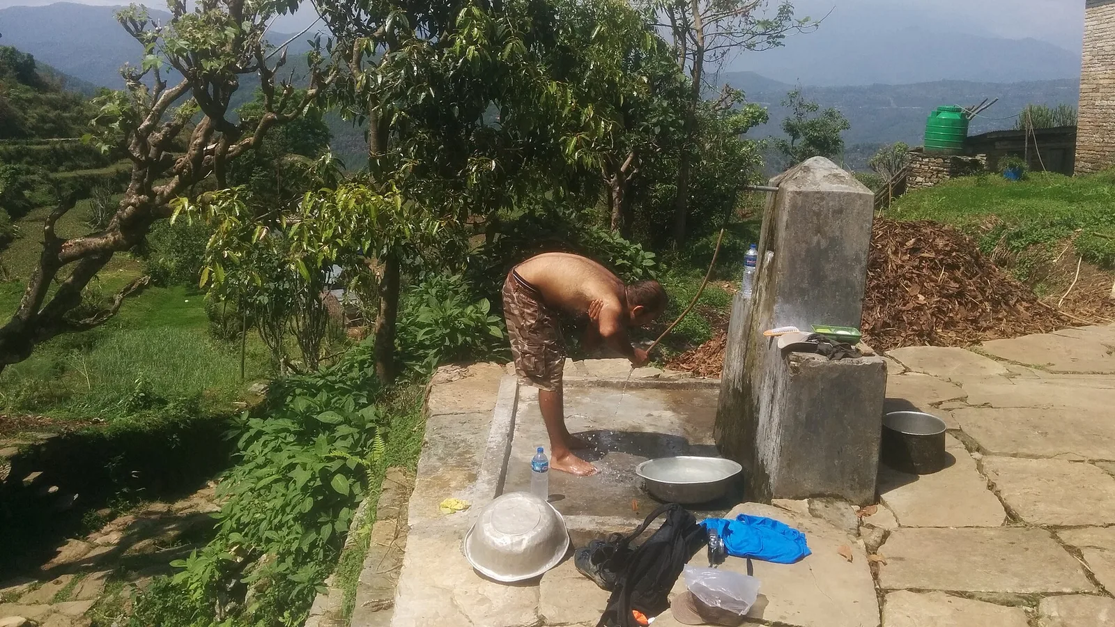
Is the Panchase Trek Affected by the 2026 Nepal Floods?
No — Panchase is a short forested ridge right beside Pokhara in the Annapurna foothills, far from the Rasuwa flood, and it is open. Here is the honest status and why it is a good monsoon-shoulder pick.
Safety & Advisories
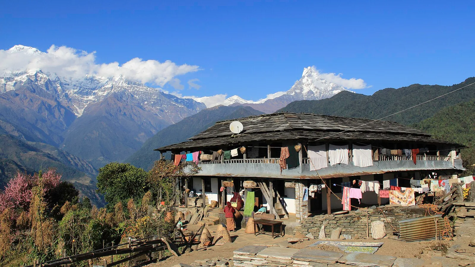
Is the Ghandruk Village Trek Affected by the 2026 Nepal Floods?
No — Ghandruk is a Gurung village in the Annapurna foothills, a short drive from Pokhara on the far side of Nepal from the Rasuwa flood, and it is running normally. Here is the honest status, plus the one late-monsoon road note.