
Mount Everest Is Still Growing — and a Hijacked River 47 Miles Away Is Pushing It Up
A 2024 study in Nature Geoscience found the world's tallest mountain gains roughly 2mm a year from an ancient river 'piracy' event on top of the tectonic collision that built it in the first place.
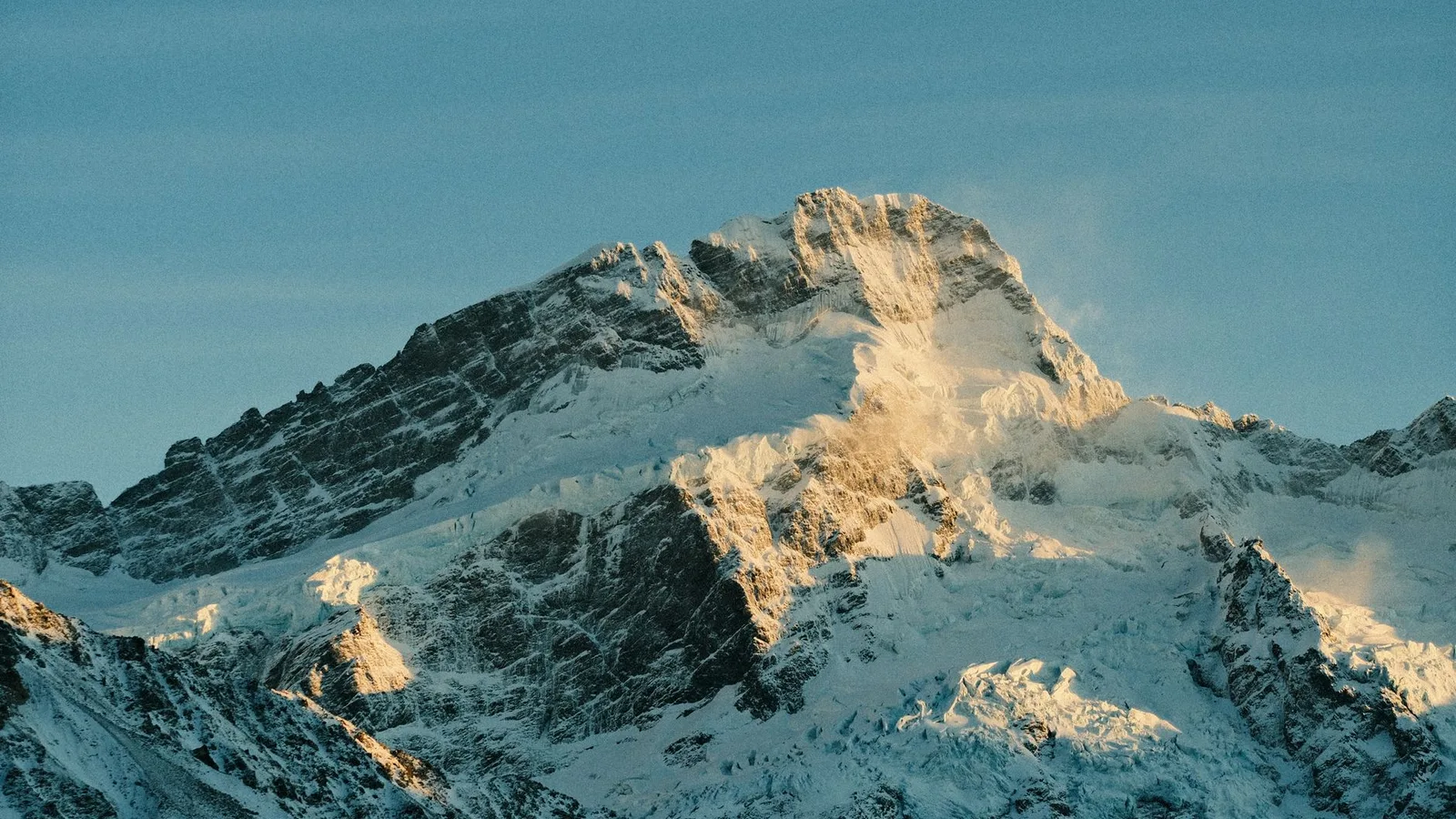
At a glance
- Published
- TopicRecords & People
- Verified againstSmithsonian Magazine / Nature Geoscience
- Treks coveredEverest Base Camp Trek — 14 Days, Everest Base Camp Trek — 15 Days, Gokyo Ri Trek — 11 Days
Key facts
- Everest's official height, jointly surveyed by Nepal and China, is 8,848.86m (29,031.7ft), announced 8 December 2020.
- A 2024 study in Nature Geoscience found Everest is rising an extra ~2mm a year on top of normal tectonic uplift.
- The cause: a river 89,000 years ago 'pirated' a neighbouring river, and the erosion that followed is still lifting the mountain today.
- Neighbouring peaks Lhotse (4th highest) and Makalu (5th highest) are rising for the same reason.
Every schoolroom map calls Mount Everest 8,849 metres — full stop, fixed forever. It isn't fixed. Nepal and China's own joint survey team confirmed in 2020 that the summit sits at 8,848.86 metres, itself 86cm taller than Nepal's previous official figure, precisely because the mountain keeps moving. And in September 2024, a team from China University of Geosciences and University College London published the clearest explanation yet for why Everest, along with its neighbours Lhotse and Makalu, keeps getting taller: a river robbery that happened 89,000 years ago is still paying out today.
The river that stole a river
About 47 miles from Everest, the Kosi River network intercepted and absorbed a tributary called the Arun River — a process geologists call 'river piracy' or 'river capture'. Suddenly carrying far more water, the merged river system began cutting down through the Himalayan bedrock in the valleys below Everest far faster than before, hauling away enormous volumes of rock and sediment.
Removing that much mass from the Earth's crust has a predictable effect, and it isn't subsidence — it's the opposite. Study co-author Dr Adam Smith (UCL) compared it to a cargo ship losing its load: 'The ship becomes lighter and so floats a little higher.' As the crust beneath the eroded valleys lightened, it rebounded upward — a process called isostatic rebound — and dragged the nearby peaks up with it, the same way pressing down on one side of a foam mattress lifts the other.
The Kosi river network captures the Arun River, supercharging downstream erosion near Everest.
The magnitude-7.8 quake renews scientific interest in whether tectonic shifts had changed Everest's height.
Nepali surveyors summit in 2019, a Chinese team in 2020; the two governments agree on 8,848.86m.
Dai and Smith's team publish the river-piracy mechanism explaining part of the continued uplift.
How much of Everest is a river's doing
The team modelled the erosion and rebound and concluded the effect has added somewhere between 15 and 50 metres to Everest's height over the past 89,000 years, and is still adding roughly 2mm a year — on top of the uplift already caused by the Indian tectonic plate ramming into Asia, the collision that built the entire Himalayan range in the first place and continues today. In other words, Everest has at least two separate engines pushing it skyward at once: a 55-million-year-old continental collision, and a comparatively recent case of one river swallowing another.
What this means for trekkers
Nothing changes underfoot — 2mm a year is invisible on a two-week trek, and no trail or camp is affected. What it does mean is that the number on your Everest Base Camp certificate is a snapshot of a mountain that has never actually stopped moving, and won't. Standing at Kala Patthar and looking up at that summit pyramid, you're looking at rock that is measurably higher than it was when your parents were born.
Our guides walk trekkers into that view most weeks of the trekking season, on both the classic route and the quieter Gokyo side that trades the crowds for a wider look at Everest, Lhotse and Makalu together — the very three peaks this study is about.
Source: Smithsonian Magazine, reporting on Dai et al., Nature Geoscience (2024); height confirmed by the Kathmandu Post.
Cover photo: Shashank Brahmavar via Pexels (Pexels License).
Still running this season
Everest Base Camp Trek — 14 Days is running normally
NMA-certified local guides, transparent pricing, 5,000+ treks since 1998. Message us your dates and we'll sort the permits, lodges and logistics — reply within 24 hours, no obligation.


Popular Nepal treks
All treks →


Related coverage
Records & People
Everest Is Only Part of the Story: Inside the World's Highest National Park
Sagarmatha National Park stretches from 2,845 metres to Everest's 8,848-metre summit — and after a roughly 40-year absence, snow leopards are being seen inside it again.
Records & People
Mount Everest's Summit Is Made of Ancient Seafloor — and the Fossils Are Still There
The highest rock on Earth is 450-million-year-old limestone packed with fossilised sea creatures — proof the roof of the world was once the floor of a tropical ocean.
Records & People
The World's Highest Marathon Starts at Everest Base Camp — and Nobody Has Beaten a 2006 Record Since
The Tenzing-Hillary Everest Marathon drops 1,920 vertical metres over 26.2 miles from the base of the world's tallest mountain — and a Nepali runner's course record has now survived twenty straight years of attempts.
Records & People
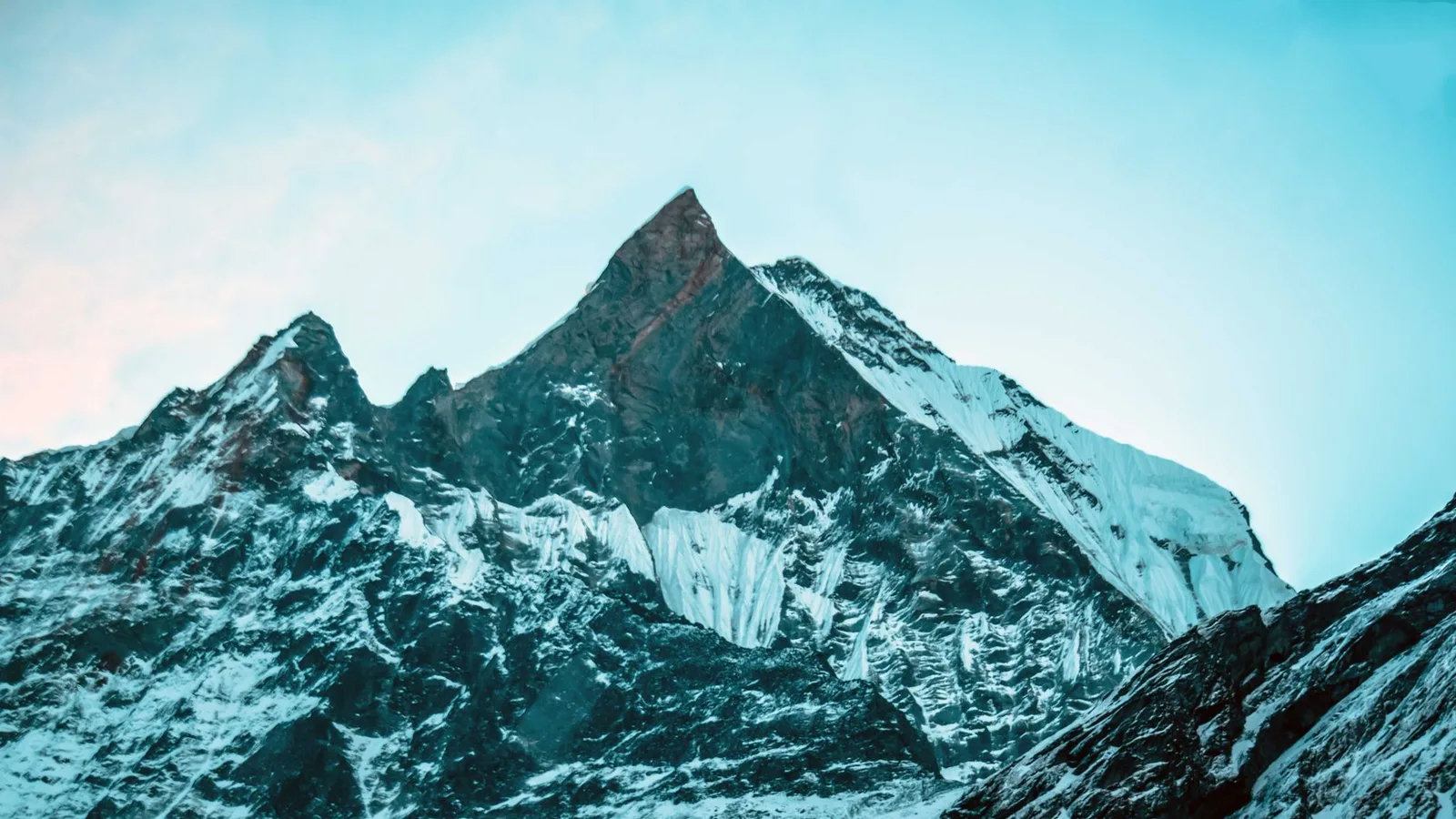
There Are 450-Million-Year-Old Seashells Near the Top of Mount Everest — Because It Used to Be Seafloor
The rock forming Everest's summit pyramid is marine limestone packed with ancient sea-creature fossils, laid down in a tropical ocean long before the Himalaya existed.
Latest from the desk
Safety & Advisories
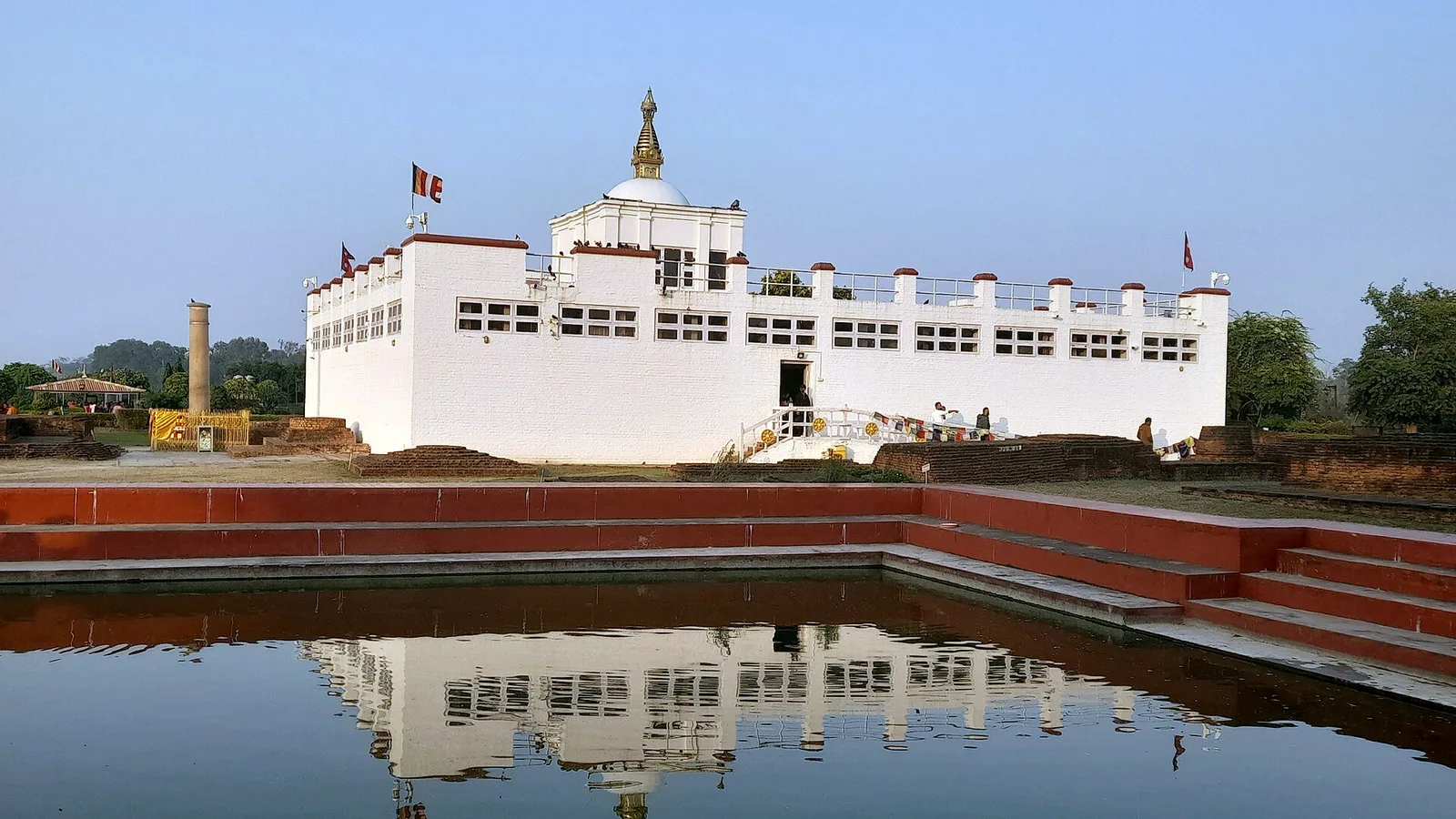
Is a Lumbini Tour Affected by the 2026 Nepal Floods?
No — Lumbini, the Buddha's birthplace, sits in the far-southern Terai in Rupandehi, hundreds of kilometres from the Rasuwa flood, and the sacred garden is open. The one honest caveat is overland travel timing across the monsoon-hit plains. Here is the full picture.
Safety & Advisories
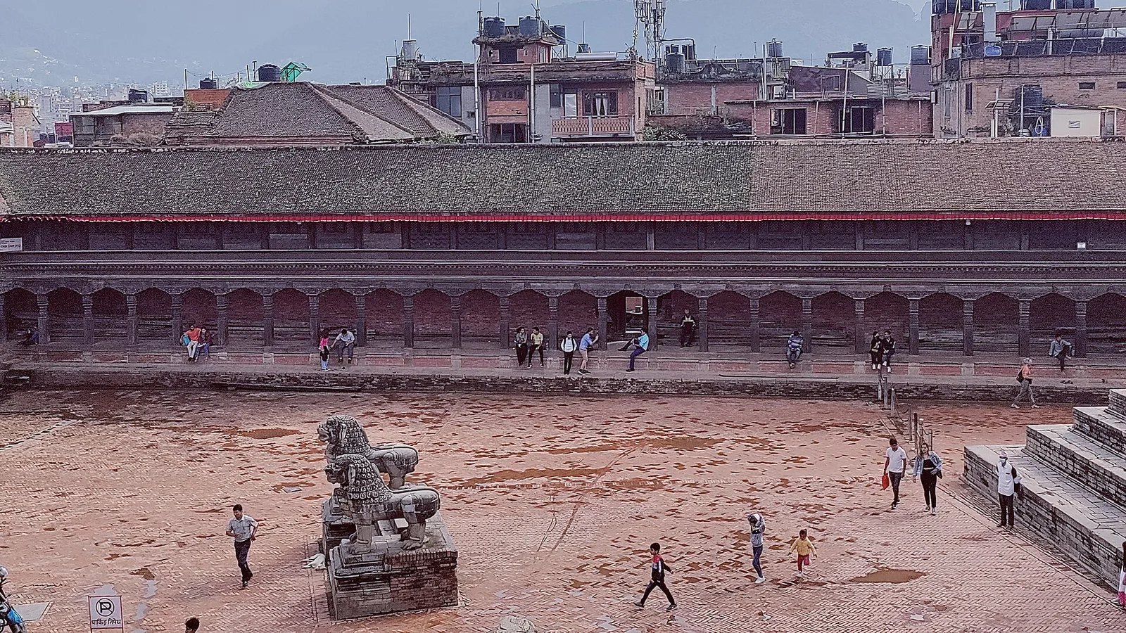
Is a Kathmandu Valley Tour Affected by the 2026 Nepal Floods?
No — Kathmandu is the capital, at about 1,400 m in central Nepal, well south of the Rasuwa flood. The airport is running normally and every UNESCO heritage site in the valley is open. Here is the honest, detailed status.
Safety & Advisories
Is the Panchase Trek Affected by the 2026 Nepal Floods?
No — Panchase is a short forested ridge right beside Pokhara in the Annapurna foothills, far from the Rasuwa flood, and it is open. Here is the honest status and why it is a good monsoon-shoulder pick.