
Is the Annapurna Circuit Trek Affected by the 2026 Nepal Floods?
Short answer: the Circuit trail itself was not hit — it runs the Marsyangdi and Kali Gandaki on the far western side of the country, a different river system from the Rasuwa flood. The one real catch is the drive in: confirm the Prithvi Highway to Besisahar, or fly to Pokhara.
At a glance
- Published
- TopicSafety & Advisories
- ReportingOriginal, by our guides in Pokhara
- Treks coveredAnnapurna Circuit Trek with Tilicho Lake — 17 Days, Annapurna Circuit Trek — Fly Jomsom 12 Days, Annapurna Circuit Trek — 14 Days
📍 Developing story — live updates
The 2026 Nepal floods are a developing emergency and the human toll is still being verified. For the latest confirmed death toll, missing and rescued numbers, and region-by-region trek status, follow our continuously-updated Nepal Floods 2026: Live Updates. The flood itself — where it hit and why — is covered in our Bhote Koshi flash flood report.
The short answer — verified against Nepal Department of Roads and TAAN reports and our own team, 26–29 August 2026 (flood figures provisional)
Booking a trek this autumn? We keep a live, region-by-region status page — which trails are open, which access roads are cut, and what we would book right now — updated through the season by our team on the ground: Nepal trekking conditions right now.
- The trail was not hit. The Annapurna Circuit runs the Marsyangdi valley up to Thorong La (5,416 m) and down the Kali Gandaki through Muktinath and Jomsom — drainages on the western side of the country, a completely separate river system from the Bhote Koshi and Trishuli that flooded in Rasuwa on 26 August. No flood damage to the Circuit trail, teahouses or bridges has been reported.
- The one real catch is the road in. The Prithvi Highway from Kathmandu runs beside the Trishuli for a long stretch, and sections were disrupted after the flood. Confirm the drive to Besisahar the day you travel — or fly Kathmandu–Pokhara and start from there.
- Permits and Pokhara are normal. ACAP and TIMS processing, Pokhara, and the trailhead logistics on the Annapurna side are all running normally.
- Bottom line: plan the Annapurna Circuit as usual for the October–November season. Just check the access road before you leave, and fly if it is still being cleared.
The short version: we have had a run of the same message this week — “I’ve got the Annapurna Circuit booked, is it cancelled?” The honest answer is no, the walk itself is fine. The 26 August flood was a Rasuwa event, on the other side of the country. But I am not going to pretend there is nothing to check, because there is one genuine thing: the road you drive in on. Let me lay out exactly where the Circuit sits, why the water never reached it, and the single logistics point that actually matters for your dates.
Where the Annapurna Circuit sits — and where the flood was
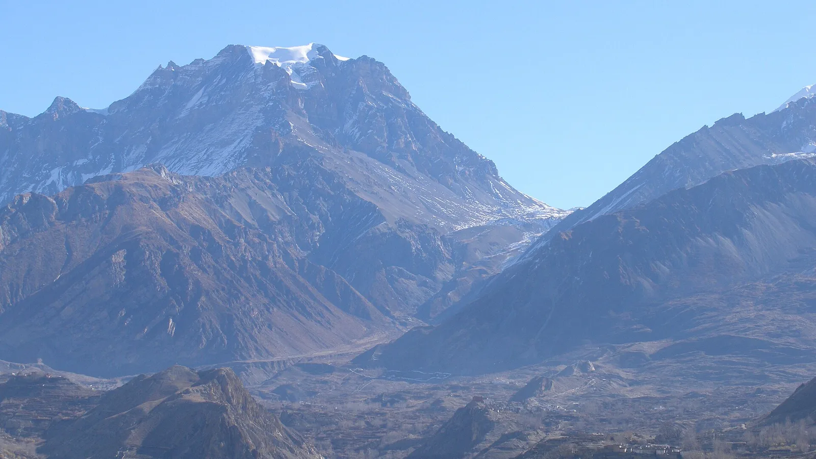
The Circuit is the big loop around the Annapurna massif. From Besisahar in Lamjung it climbs the Marsyangdi valley through Chame and Manang, crosses Thorong La at 5,416 m, drops to the temple town of Muktinath, and finishes down the Kali Gandaki through Jomsom and Mustang. Both of those rivers drain the western Himalaya and flow south to join the Narayani well downstream. The upper valleys sit in the rain shadow behind the peaks — Manang and Mustang are among the driest trekking country in Nepal, which is exactly why the Circuit stays walkable at the tail of the monsoon.
The 26 August disaster was a flash flood and debris flow down the Bhote Koshi from the Tibet border into Rasuwa — the gateway to Langtang and Gosaikunda — and then downstream into the Trishuli, raising alerts in Nuwakot, Dhading, Gorkha and Chitwan. Look at a map and the point makes itself: that is central and north-central Nepal. The Circuit is a full country over to the west, in a different watershed. Water in the Bhote Koshi has no path to the Marsyangdi or the Kali Gandaki. That is why every honest operator, including us, is telling people the Circuit trail is not affected.
| Region / segment | Status | What to do |
|---|---|---|
| Circuit trail — Besisahar / Manang / Thorong La / Muktinath / Jomsom | Not affected. No flood damage reported; trails, teahouses and permits running normally | Plan normally for October–November; confirm conditions before departure as with any high pass |
| Road approach — Prithvi Highway (Kathmandu–Mugling–Pokhara / Dumre–Besisahar) | Disrupted in places after the flood; sections beside the Trishuli were cleared in stages | Confirm the road the day you travel, or fly Kathmandu–Pokhara and start from there |
| Pokhara & permits — ACAP / TIMS, trailhead logistics | Normal | Nothing special needed; book as usual |
| Rasuwa / Langtang / Gosaikunda (a different trek people confuse with this) | Closed / access cut by the flood | Do not travel; see the flood report and conditions page |
The one thing worth checking: the drive to Besisahar
Here is the part I will not gloss over. Almost every Annapurna Circuit trip starts with a road journey out of Kathmandu on the Prithvi Highway, which hugs the Trishuli for hours before you branch off at Dumre for Besisahar (or carry on to Pokhara). Because the Trishuli carried the flood downstream, the Department of Roads restricted and then cleared sections of that highway through late August — the Galchhi–Mugling stretch came back into use first, with mud and debris still being shifted elsewhere and the Mugling–Narayangadh road closed. None of that touches the trek. All of it touches how you get to the trek.
So the practical move is simple. If your Circuit starts with a Kathmandu–Besisahar drive, ask your operator to confirm the Prithvi Highway is clear on your travel day, or build in a buffer. If you would rather skip the question entirely, fly Kathmandu–Pokhara (25 minutes) and drive the short, unaffected leg up to Besisahar or Bhulbhule from the Pokhara side. By the time the autumn season properly opens in October, the highway should be fully back to normal — but you check it anyway, the same way you would check any monsoon-season road in Nepal.
What about the jeep roads on the Circuit itself?
This comes up every year and it is worth separating from the flood, because it is a different issue. The Circuit’s long-running complaint is that dirt roads have crept up both ends of the valley — jeeps now reach well up the Marsyangdi and down the Kali Gandaki. That is a route-quality debate, not a safety closure, and it has nothing to do with 2026’s floods. It is exactly why many trekkers now shorten the walking on the road sections and start higher, or add the Tilicho Lake side trip and the high route through Ghyaru and Ngawal for the best of the trail. If road-walking is your worry, that is a planning conversation, and a good one — but it is not a flood problem.
Our honest steer: the Annapurna Circuit is a clean pick for October–November 2026 — the trail is untouched by the flood and the high country is in its best, driest window. The only box to tick is the access road, and flying to Pokhara removes even that. If you specifically want a trek with zero flood question marks, this is one of them. For the full national picture — which treks are on hold and which are running normally — see our live conditions page.
How we run the Circuit right now
Three things, plainly. First, we confirm your access road or fly you to Pokhara rather than assume the highway is clear — we would rather change a drive than leave you stuck on the Prithvi. Second, we run the Circuit with a licensed guide who has this week’s ground reports, not last season’s, and we build in an acclimatisation buffer before Thorong La regardless of floods, because 5,416 m demands it. Third, we will tell you the honest thing: if you actually meant Langtang or Gosaikunda — the treks that were hit, and that people mix up with “the Annapurna region” — we will say so and help you move your plan, not sell you a departure into a closed valley.
Send us your dates and we will check the exact status of the departure you are eyeing, including the road on your travel day. If the honest call is to fly instead of drive, that is what we will tell you.
Planning the Annapurna Circuit this season?
We’ll confirm the trail status and your access road for your exact dates — and fly you to Pokhara if the highway is still being cleared. Straight answers, including telling you to wait if that is the honest call.
Message us on WhatsApp → · Ask us about your dates →
Annapurna Circuit Trek — 14 Days · Annapurna Circuit with Tilicho Lake — 17 Days
If you want to help. Nepal’s official relief channel is the government’s Prime Minister’s Disaster Relief Fund — restricted by law to rescue, relief and rehabilitation, audited annually, and it takes international cards directly. We collect nothing and receive nothing. Be careful of account numbers circulating in forwarded messages: disaster fundraising draws scams within days. Our full guide is at where to donate for the Nepal floods.
Cover photo: Vyacheslav Argenberg via Wikimedia Commons (CC BY 4.0).
Still running this season
Annapurna Circuit Trek with Tilicho Lake — 17 Days is running normally
NMA-certified local guides, transparent pricing, 5,000+ treks since 1998. Message us your dates and we'll sort the permits, lodges and logistics — reply within 24 hours, no obligation.


Popular Nepal treks
All treks →


Related coverage
Safety & Advisories
Is the Khopra Danda Trek Affected by the 2026 Nepal Floods?
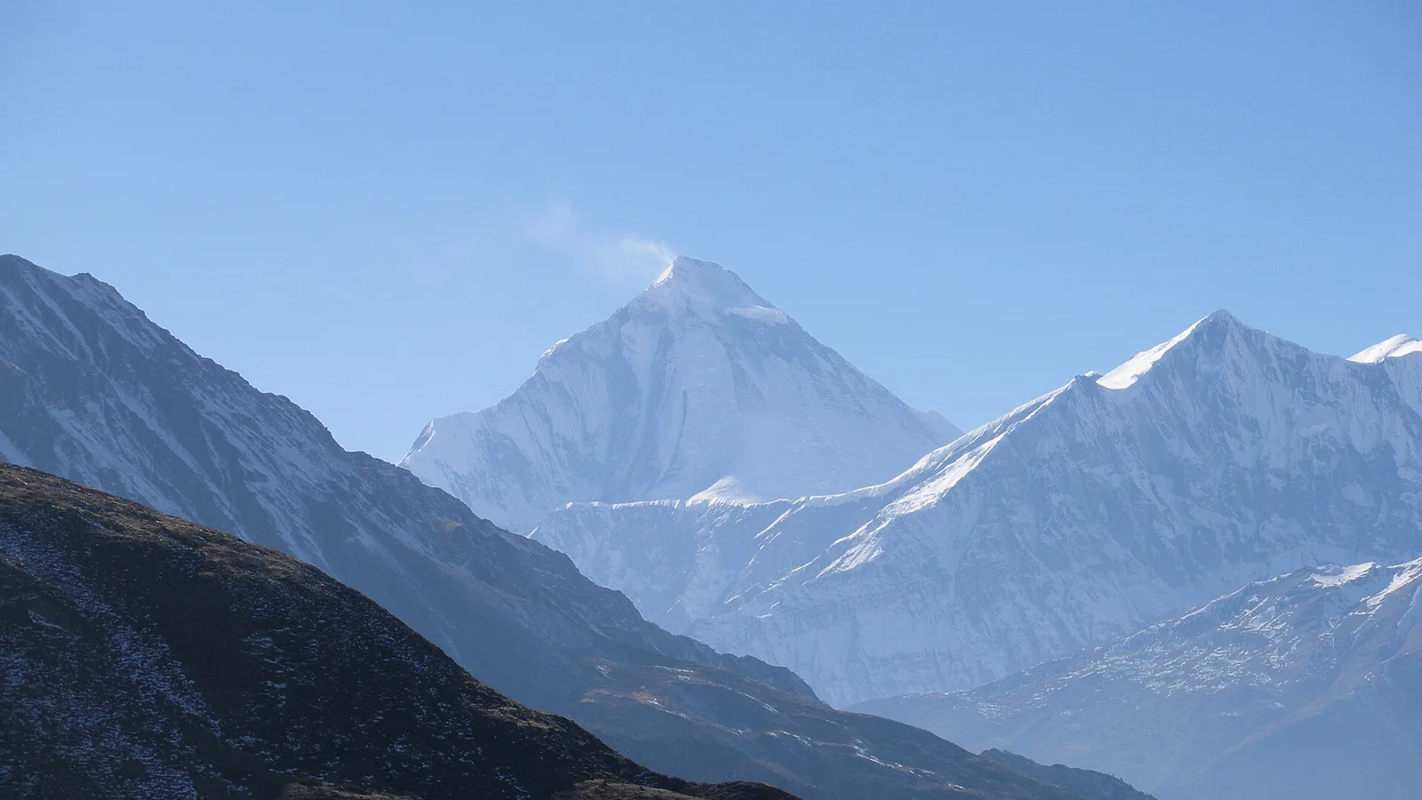
Short answer: no. The Khopra Danda (Khopra Ridge) trek sits in the Annapurna region, reached from Pokhara, and is running normally. The 26 August flood hit the Rasuwa / Langtang corridor about 200 km east — a completely different river system.
Safety & Advisories
Is the Kapuche Lake & Sikles Trek Affected by the 2026 Nepal Floods?
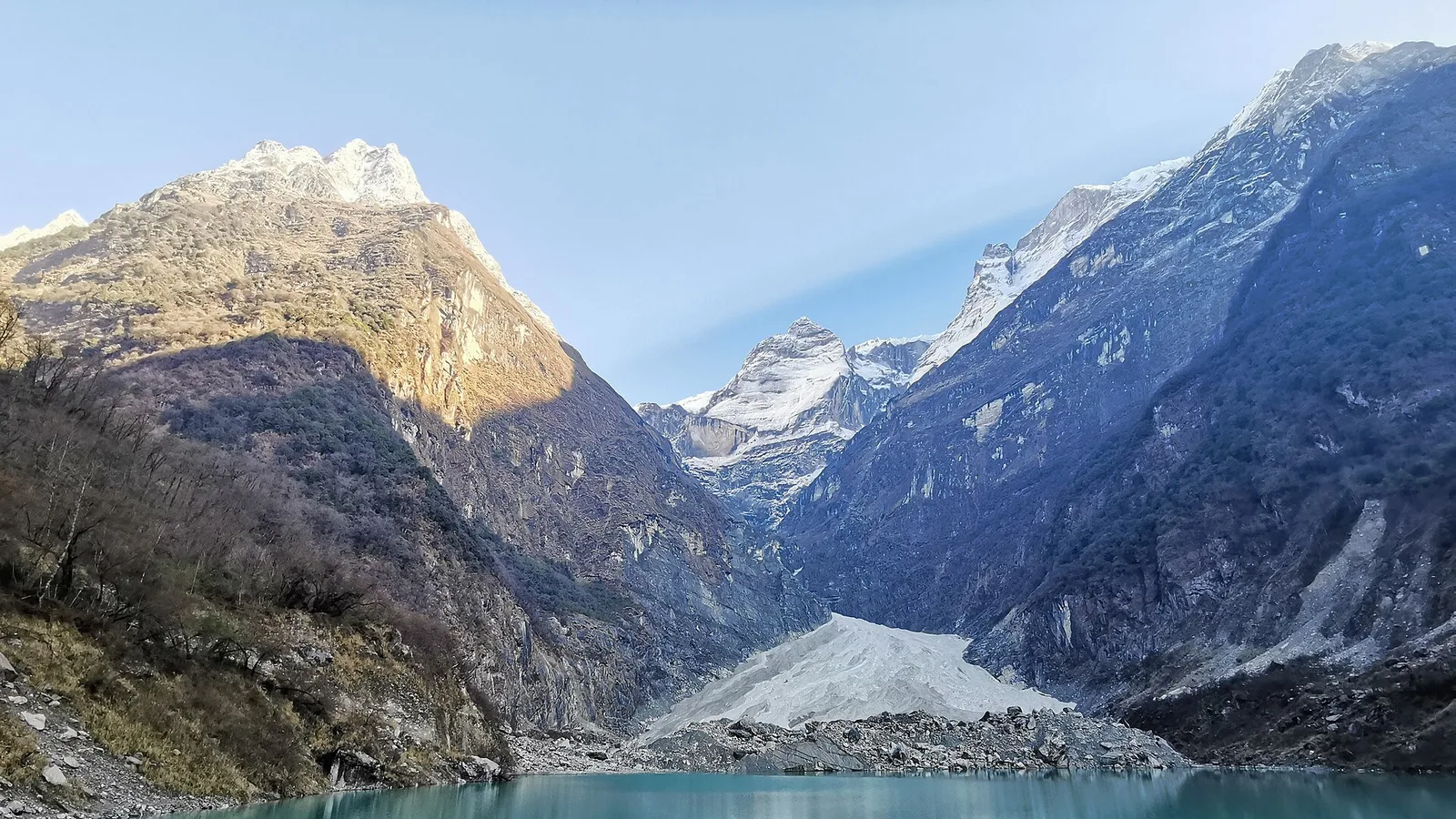
No — Kapuche Lake and Sikles sit in the Annapurna region east of Pokhara, on a different river system from the Rasuwa flood, and the route is running normally. Here is the honest status and the late-monsoon road note.
Safety & Advisories
Is the Ghandruk Village Trek Affected by the 2026 Nepal Floods?
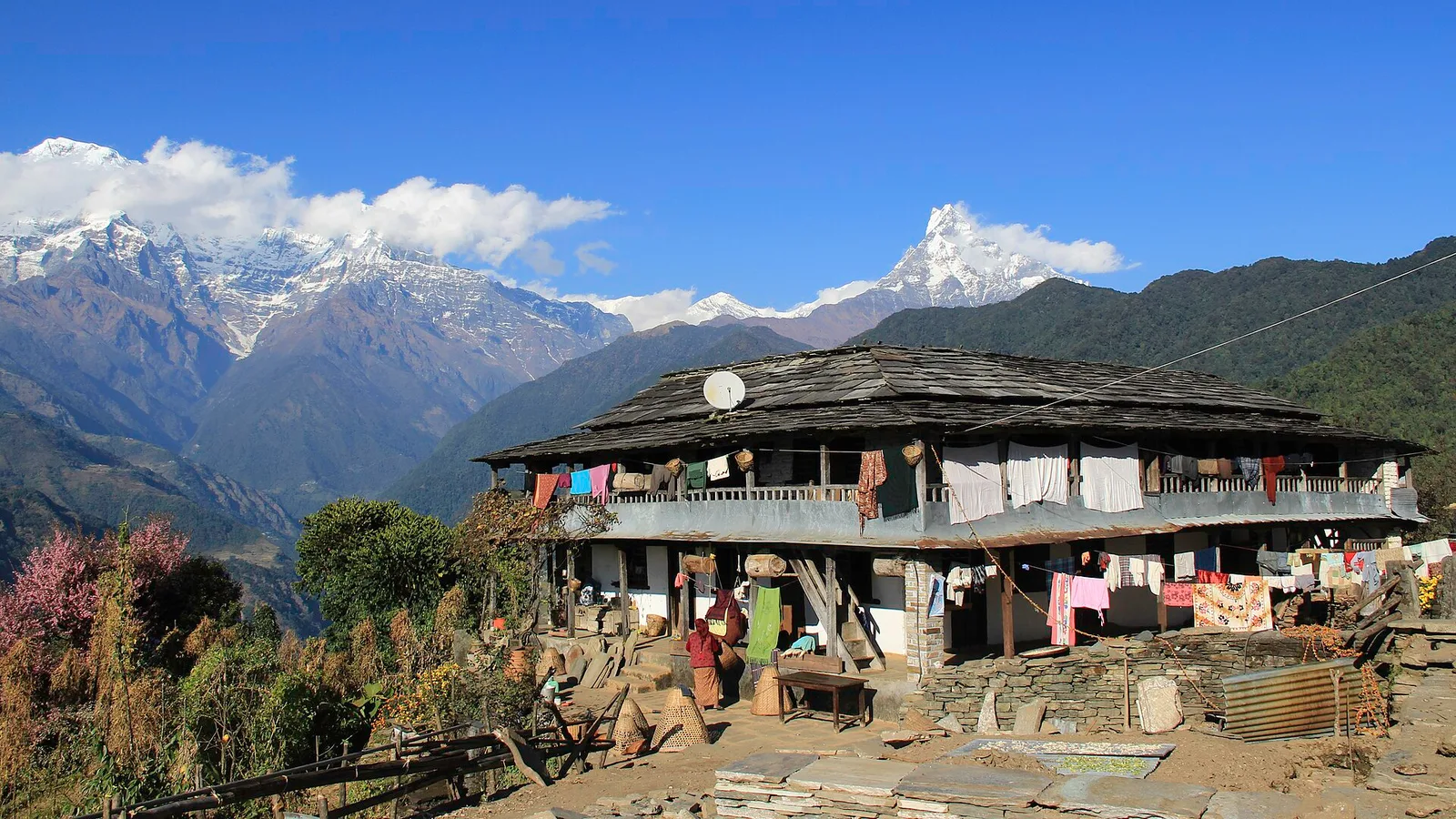
No — Ghandruk is a Gurung village in the Annapurna foothills, a short drive from Pokhara on the far side of Nepal from the Rasuwa flood, and it is running normally. Here is the honest status, plus the one late-monsoon road note.
Safety & Advisories
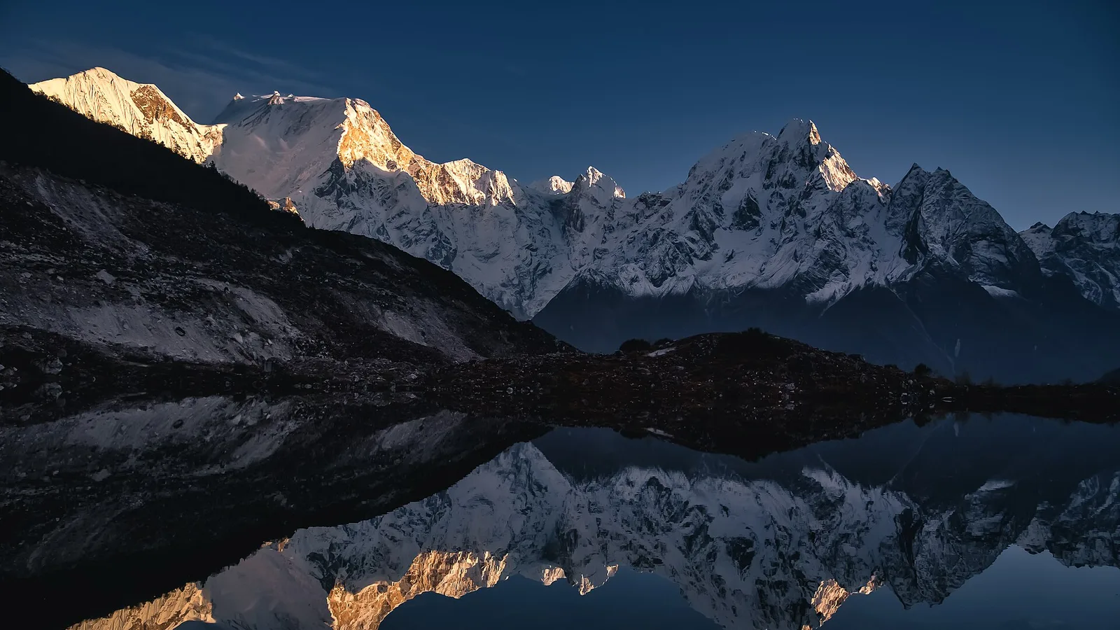
Is the Manaslu Circuit Trek Affected by the 2026 Nepal Floods?
No — the Manaslu Circuit runs on the Budhi Gandaki in Gorkha, a different river from the flood-hit Bhote Koshi in Rasuwa. Here is why the trail and the Larke La are unaffected — and the one road caveat to confirm.
Latest from the desk
Safety & Advisories
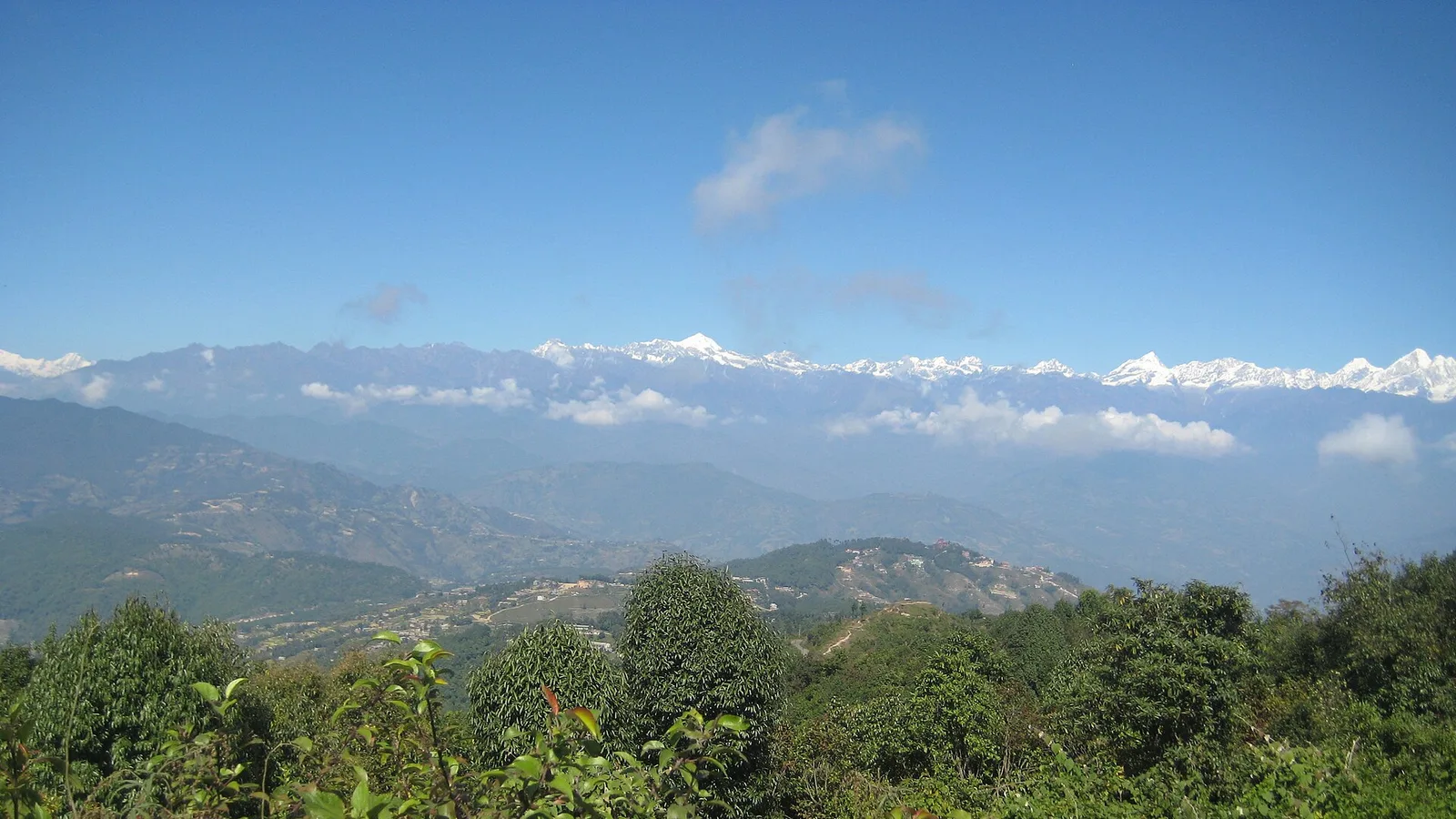
Is the Chisapani–Nagarkot Trek Affected by the 2026 Nepal Floods?
Short answer: no. This short cultural trek runs the forested rim of the Kathmandu Valley through Shivapuri National Park — the Bagmati watershed, well south of the Rasuwa flood. The valley and its trails are open and normal.

World Destinations
Where to Travel Each Month in 2026: A Month-by-Month Guide to the Best Seasons Worldwide
A season-first calendar of where the weather works best in every month of 2026 — from Southeast Asia’s dry winter and Japan’s cherry blossom to Europe’s summer, Nepal’s autumn trekking peak and the Caribbean’s dry-season sun.
Safety & Advisories
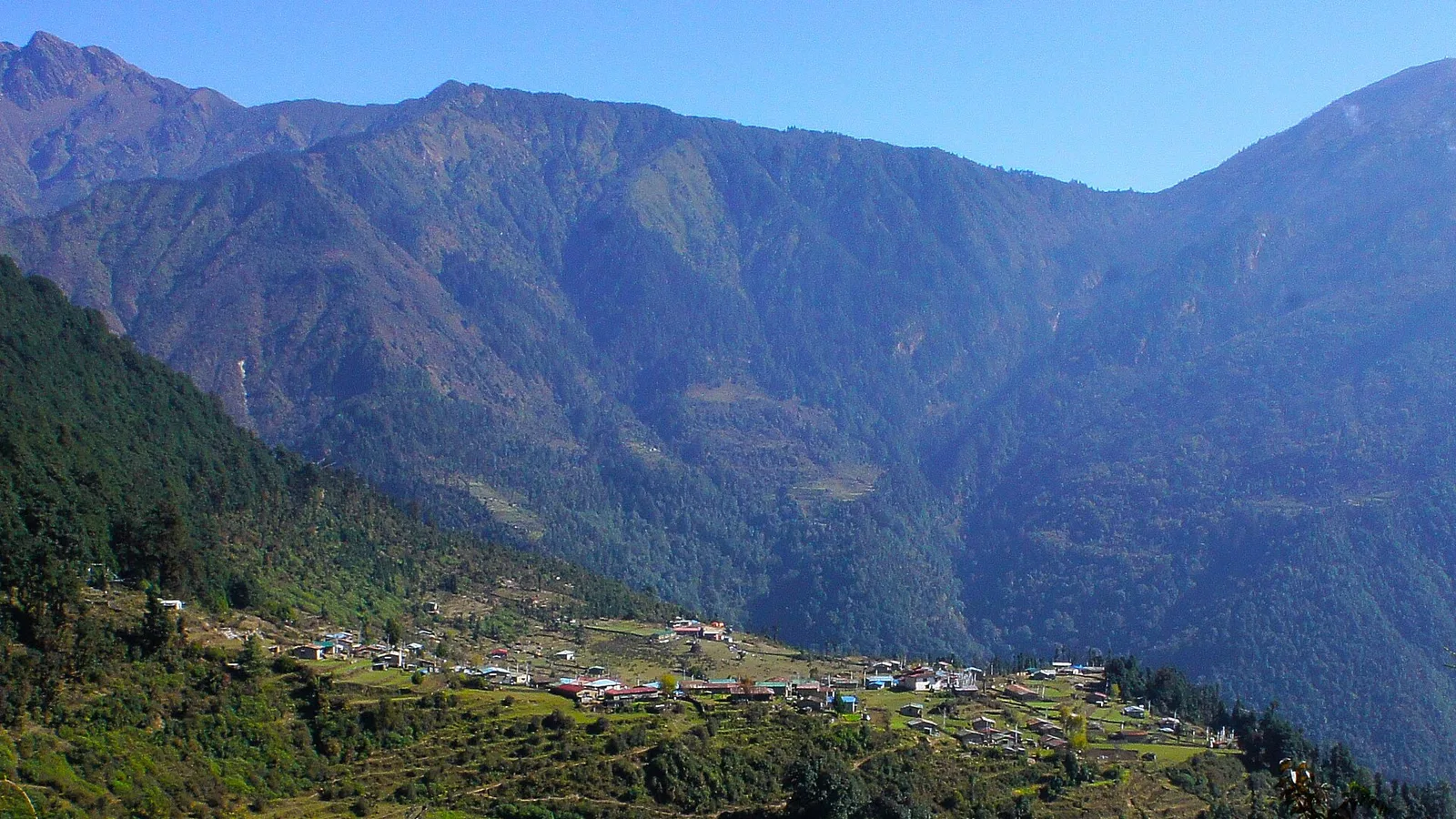
Is the Helambu Trek Affected by the 2026 Nepal Floods?
Mostly no, but this one needs a real check. The Helambu trails were not hit by the Rasuwa flood, but Helambu sits on the edge of the disruption zone on a monsoon-fragile access road. Reconfirm road access before you commit — and right now the no-doubt choice is Poon Hill or Annapurna.