
The Rasuwa Flood Knocked Out 430 MW: What It Means for Nepal’s Power Supply (2026)
Around 430 MW of capacity was damaged when the 26 August flood tore through the Bhote Koshi–Trishuli corridor — one of Nepal’s densest hydropower valleys. Here is what it means for the national grid, exports to India, and the case for run-of-river power in a warming Himalaya.
At a glance
- Published
- TopicIndustry & Tourism
- ReportingOriginal, by our guides in Pokhara
- Treks coveredLangtang & Gosaikunda Trek — 13 Days, Langtang Valley Trek — 7 Days
Key facts — as reported 26 August 2026 (all figures provisional)
- Capacity damaged: around 430 MW of production, transmission and distribution capacity, the Nepal Electricity Authority (NEA) said.
- Facilities named: six hydropower plants along the Bhote Koshi–Trishuli corridor — Rasuwagadhi, Chilime, Upper Trishuli 3A, Upper Trishuli 3B (a 220 kV Hub substation), the Trishuli station and Devighat.
- Worst hit: the 111 MW Rasuwagadhi plant near the Tibet border, whose powerhouse and substation were reportedly destroyed.
- Where: Rasuwa and Nuwakot districts — one of the densest clusters of hydropower on Nepal's map.
- Context: the loss lands during the monsoon, the season when Nepal's rivers run highest and the country exports surplus power to India.
Around 430 MW of Nepal's electricity capacity was knocked offline in a single morning. When a flash flood tore down the Bhote Koshi River from Tibet into Rasuwa district on 26 August 2026, it did not only sweep away villages, roads and the Rasuwagadhi border bridge — it ran straight through one of the country's most important hydropower valleys. The Nepal Electricity Authority (NEA) said roughly 430 MW of production, transmission and distribution capacity was damaged across six named plants. For the human story of that day, see our report on the Bhote Koshi flash flood in Rasuwa; this piece looks at what it did to Nepal's power supply.
Which plants were hit — and how much power
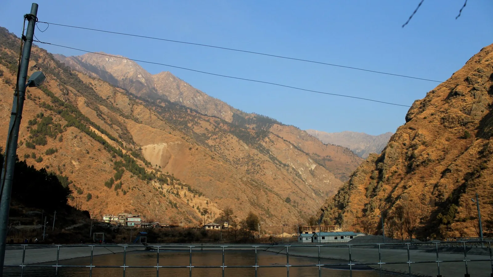
The NEA named six hydropower facilities along the Bhote Koshi and Trishuli rivers. The headline casualty is the 111 MW Rasuwagadhi project, on the Nepal–China frontier, whose powerhouse and substation were reportedly completely destroyed. The others sit downstream, including a 220 kV Hub substation tied to Upper Trishuli 3B — and substations are the nodes that lift power onto the high-voltage grid, so damage there can strand generation even where a turbine survives.
| Facility | Capacity (as reported) | Note |
|---|---|---|
| Rasuwagadhi | 111 MW | Powerhouse and substation reportedly destroyed; closest to the Tibet border |
| Upper Trishuli 3A | ~60 MW | On the Trishuli downstream in Nuwakot |
| Upper Trishuli 3B | ~37 MW | Damage centred on its 220 kV Hub substation |
| Trishuli station | ~24 MW | One of Nepal's oldest hydropower plants |
| Chilime | ~22 MW | A flagship of Nepal's community-hydropower model |
| Devighat | ~14 MW | Furthest downstream of the named plants, in Nuwakot |
Capacity for Rasuwagadhi is as reported by the NEA; the other per-plant figures are as carried by specialist trade press (International Water Power). The NEA's ~430 MW total also spans transmission and distribution damage and additional projects in the corridor.
That 430 MW is not six turbines adding up; it is the NEA's estimate of all the production, transmission and distribution capacity affected in the corridor. Some reporting broke it down as roughly 405 MW across around eleven hydropower projects plus a 25 MW solar plant. The six plants above are the ones the authority named on the day.
Why so many plants sit in one river
The reason one flood could take out so much capacity is geography. The Bhote Koshi drops steeply out of Tibet, gathers into the Trishuli, and falls fast through Rasuwa and Nuwakot. Steep, reliable, glacier-fed flow is exactly what run-of-river hydropower wants, so developers have packed the corridor with projects — from Rasuwagadhi on the border down through the Trishuli cascade to Devighat, plus the Sanjen, Langtang and Mailung schemes on the same stretch. That concentration is efficient in normal years and dangerous in a bad one: a single surge down a single river hit the generation, the substations that evacuate it, and the roads crews would need to reach any of it, all at once. Build a large share of your grid along one glacier-fed valley and you concentrate your risk there too.
What it means for Nepal's electricity supply
How big a hit is 430 MW? Sources differ on Nepal's total installed capacity, so the honest answer is a range. Specialist trade press framed the ~430 MW as more than a tenth of a national hydropower base put at about 3.2 GW; other recent Nepali reporting puts total installed capacity higher, around 4,200 MW. Either way, losing roughly 430 MW in one morning is a meaningful bite out of the national total — on the order of a tenth of it.
It also lands at a pointed moment. Within living memory Nepal endured scheduled load-shedding of up to 18 hours a day, and the near-elimination of those blackouts as capacity grew is one of its proudest recent achievements. The country now generates enough that, during the monsoon, it exports surplus electricity to India — up to around 1,000 MW in the wet months, per Nepali reporting, earning a record sum from cross-border power sales last fiscal year. Run-of-river plants produce most in exactly this season of high water, which is also the season this flood struck. The timing cuts twice: it removes capacity when the rivers, and export revenues, are at their peak.
None of this means the lights go out nationwide. Nepal is connected to India and can import during shortfalls, and late-August demand is below the winter peak. The realistic effects are narrower and slower: lost generation and export earnings while plants are down, lengthy rebuilds of powerhouses and substations reachable only by damaged roads, and pressure on the grid heading into the drier winter — when these run-of-river plants would normally be tapering off anyway.
The monsoon paradox
Run-of-river hydropower's strength is also its exposure. These plants have little or no storage — they turn whatever the river brings that day into electricity. That makes them cheap and clean, and it makes them produce most in the monsoon. But the monsoon is also when glacier-fed rivers carry the most water, debris and flood energy. The same season that maximises output maximises risk. A grid built on run-of-river plants is, by design, most productive and most vulnerable at the same time of year.
Run-of-river hydropower and a warming Himalaya
This is where the power story meets the climate one. The flood is thought to have begun high on a glacier — the leading explanations offered on the day were an earthquake-triggered avalanche, a rock-ice avalanche, and the sudden drainage of a supraglacial lake, though authorities had not established a single cause. Whatever the trigger, it points to a growing hazard: glacial lake outburst floods (GLOFs) and flash floods off unstable, warming ice. The same Bhote Koshi–Lhende system flooded in July 2025 too, an event attributed to a supraglacial lake draining in Tibet — twice in about fourteen months. ICIMOD scientists have called the pace of such events in the Hindu Kush Himalaya "unprecedented."
Run-of-river hydropower is unusually exposed to this. Because these plants sit low in the valley, take water directly from the river and hold almost none in reserve, a surge that a large storage dam might buffer instead arrives at the intake, powerhouse and substation at full force. As Himalayan glaciers thin and glacial lakes multiply, every plant strung along a glacier-fed river inherits that upstream risk. We unpack why this river keeps flooding in our piece on glacial lakes and ice-rock avalanches, and the wider picture in the Himalaya and climate change in 2026. The lesson is not to abandon a corridor that produces so much clean power, but to plan for the water doing this again: upstream monitoring and early warning (which China's leadership publicly called for after the disaster), flood defences at intakes, and a grid not so concentrated in one glacier-fed valley that a single bad morning can take out a tenth of it.
For travellers to Langtang
The same corridor is the gateway to Langtang: Syabrubesi, the road-head where most Langtang treks begin, sits in the worst-hit stretch. The condition of the trails up the valley was still being assessed as this was written, and road and bridge access via Syabrubesi may be disrupted for some time. Langtang's main season is October–November, several weeks off, so there is a window for repairs — but anyone planning to trek there should check current access with their operator and the authorities first. If you are weighing a Langtang trip, our team is glad to advise on timing and alternatives: see the Langtang Valley Trek or the longer Langtang & Gosaikunda Trek.
Sources and further reading: International Water Power, Urja Khabar, The Kathmandu Post, ICIMOD, and the 2026 Nepal floods record. Figures are as reported on 26 August 2026 and remain provisional.
Cover photo: Shree Krishna Dhital via Wikimedia Commons (CC BY-SA 3.0).
Planning a trek?
Trek this route with us — Langtang & Gosaikunda Trek — 13 Days
NMA-certified local guides, transparent pricing, 5,000+ treks since 1998. Message us your dates and we'll sort the permits, lodges and logistics — reply within 24 hours, no obligation.


Popular Nepal treks
All treks →


Related coverage
Breaking · Safety & Advisories
Massive Flash Flood on the Nepal-Tibet Border Leaves Hundreds of Tourists Missing
A wall of water tore through Rasuwa's Bhote Koshi valley on August 26, killing at least nine and leaving 384 travellers — including three Americans — unaccounted for near the Langtang trekking region.
Climate & Environment
Why the Bhote Koshi Keeps Flooding: Glacial Lakes, Ice-Rock Avalanches and a Warming Himalaya (2026)
No single cause is confirmed yet — scientists are weighing an earthquake-triggered landslide, an ice-rock avalanche and a draining glacial lake, against a Himalaya warming fast enough to flood the same river twice in 14 months.
Breaking · Safety & Advisories
Bhote Koshi Flash Flood, 26 August 2026: What Happened in Nepal’s Rasuwa District
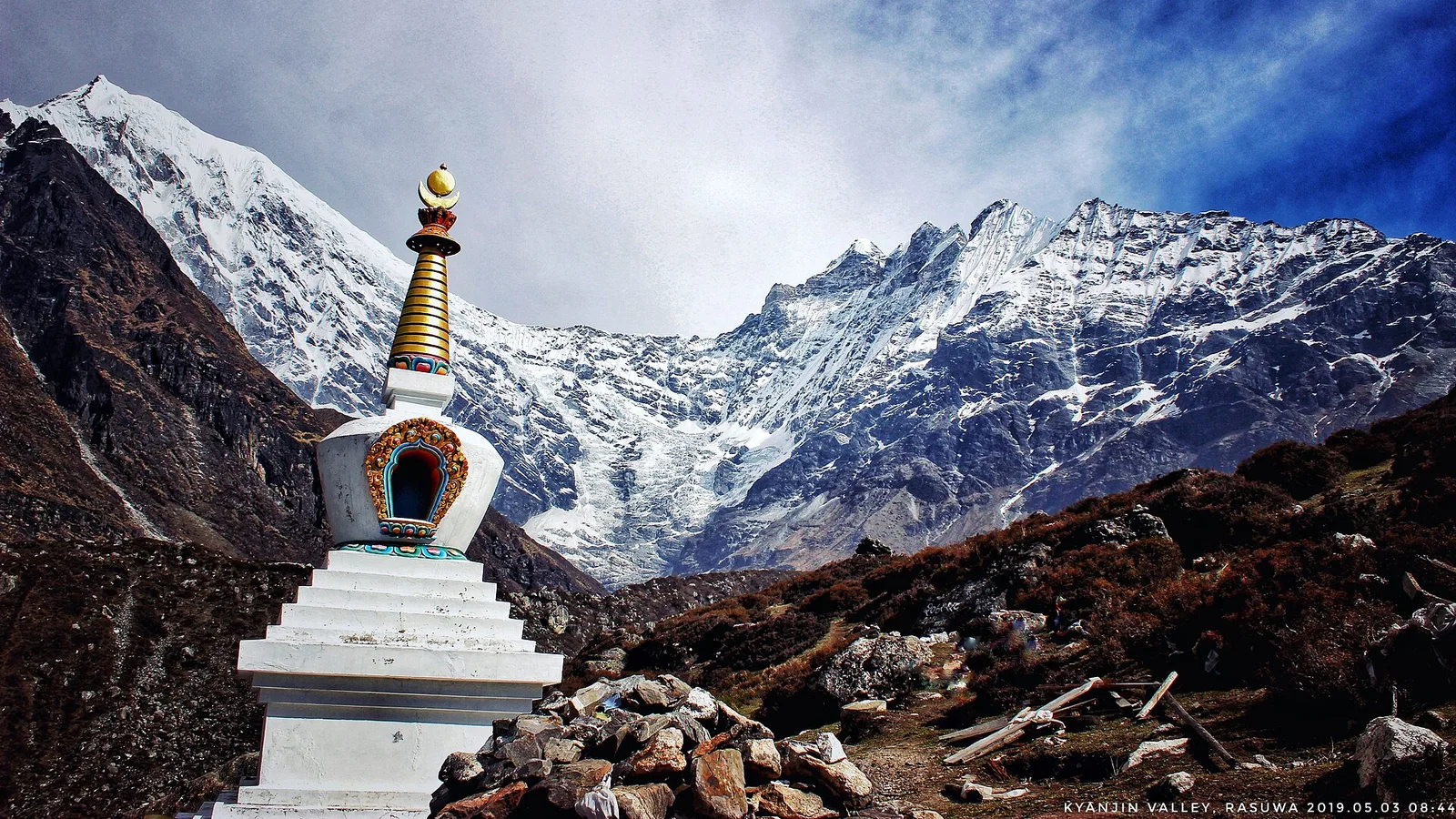
At least 95 people are confirmed dead after a flash flood surged from Tibet down the Bhote Koshi into Nepal’s Rasuwa district on 26 August 2026, with hundreds initially reported missing and being accounted for.
Safety & Advisories
The Rasuwa Flood and Your Nepal Trek: Langtang Access, Safety and Autumn 2026
Everest and Annapurna are unaffected; only Langtang’s gateway and the overland Tibet route are disrupted by the 26 August Rasuwa flood — here is what it means for your trip.
Latest from the desk
Money & Insurance
Adventure & Activity Travel Insurance in 2026: Why Standard Cover Excludes Rafting, Diving, Skydiving and High Trekking
Scuba, bungee, skydiving, quad bikes, jet skis, rafting, safari, motorbiking and trekking above a certain altitude are the activities standard travel insurance quietly leaves out. Here is how activity tiers and add-ons work, why an undeclared activity can void the whole claim, and how to match cover to your trip.
Climate & Environment
Soot Is Darkening Himalayan Snow and Speeding Its Melt, 2026 Science Shows
Soot darkens Himalayan snow so it absorbs more sunlight and melts faster — a second, faster-acting driver of glacier loss alongside warming, and the one the region could switch off within weeks.

Visas & Entry
Taking a Pet Abroad in 2026: The Rules Most Owners Underestimate
Microchip, rabies vaccination and a waiting period, a health certificate or pet passport, tapeworm treatment and even quarantine — a plain-English guide to taking a pet abroad in 2026, and why it has to start months before you fly.