
Flash Floods and GLOFs on a Nepal Trek: How to Read the Risk and Stay Safe (2026)
Camp above the floodline, cross early, heed warnings: a working guide's field method for reading flash-flood and glacial-flood (GLOF) risk on any Nepal trek — the signs, the exposed terrain, and what to do.
At a glance
- Published
- TopicSafety & Advisories
- ReportingOriginal, by our guides in Pokhara
- Treks coveredAnnapurna Base Camp Trek — 6 Days, Everest Base Camp Trek — 14 Days, Langtang Valley Trek — 7 Days
Part of our continuing series — The Himalaya and Climate Change in 2026.
On the morning of 26 August 2026, a flash flood surged out of Tibet and down the Bhote Koshi into Nepal's Rasuwa district, tearing through Timure and Syabrubesi — the road-head where almost every Langtang trek begins. As reported, at least 95 people were confirmed dead by Bagmati Pradesh Police, with hundreds initially listed as missing and then progressively accounted for; the figures are provisional and were still changing. We cover the event itself in our main report and what it means for Langtang trekkers in our trek-access piece. A border camera caught the surge roughly seven minutes after the USGS logged a small earthquake across the frontier — and seven minutes tells you almost everything about why warning systems struggle here.
I want to be honest before I say anything else: the overwhelming majority of Nepal treks pass without any flood danger at all. This is not a reason to cancel your trip. It is a reason to learn a skill that good local guides carry quietly in the back of their minds on every valley-floor day — how to read flash-flood and glacial-flood risk, and what to do in the rare moment it matters. Think of it the way you think about avalanche awareness on a snow slope: awareness, not fear.
What a flash flood and a GLOF actually are
A flash flood is simply water arriving far faster than a river can normally carry it — after a cloudburst upstream, a landslide that dams and then bursts, or a wall of water released higher in the catchment. You may be standing in bright sun and dry weather when it comes, because the rain that caused it fell hours ago and many kilometres away.
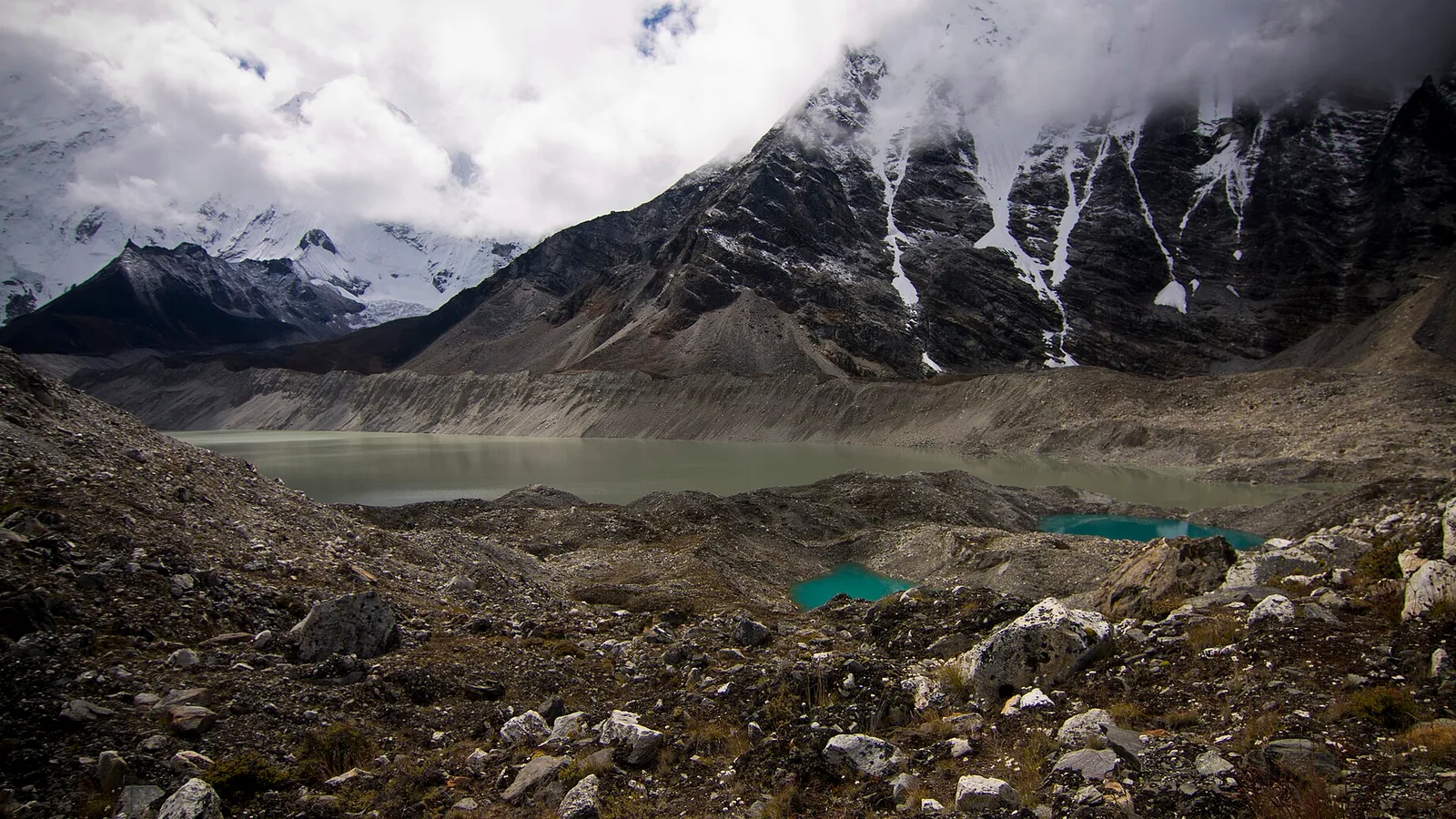
A GLOF — a glacial lake outburst flood — is a particular, and increasingly common, flavour of that. High in the mountains, retreating glaciers leave meltwater lakes held back by loose walls of ice and rubble. When one of those dams fails, the lake empties down-valley in hours, sometimes minutes. If you are new to the mechanism, our plain-language GLOF explainer walks through the physics. The practical point for a trekker is this: a GLOF needs no rain and no warning you can see. It can start on a clear day, behind a ridge you will never look at.
The warning signs — what to watch and listen for
You will almost never need these. Learn them anyway, because they cost nothing to carry and the window to act is short.
Signs a surge may be coming
- A sudden roar or rumble that does not match the weather — a deep, building sound from up-valley, felt as much as heard.
- The river rising fast, or unusually dropping — a river that suddenly falls can mean a landslide or ice dam has blocked it upstream, and that blockage will eventually give way.
- Water turning brown and thick with mud, or carrying debris — branches, logs, even boulders grinding along.
- A sudden change in smell or a cold blast of air pushed ahead of a large body of moving water.
- Local people moving uphill quickly, or an army, police or hydropower siren. In the mountains, other people's alarm is a signal in itself — move first, ask later.
Why the valley floor is where the risk lives
Nearly every classic Nepal trek follows a river. That is not an accident — the rivers cut the only walkable grades through the mountains, so the trail, the tea houses, the bridges and the villages all cluster on the flat ground beside the water. It is beautiful, and it is convenient, and on the rare bad day it is exactly where a flood goes.
Glacial rivers make this sharper. A trail that hugs a milky, glacier-fed river is, by definition, downstream of ice and of any lake that ice is holding back. The Bhote Koshi has now flooded twice in about fourteen months — the July 2025 event was attributed to a draining supraglacial lake in Tibet — and ICIMOD scientists say such events are increasing at an unprecedented pace across the Hindu Kush Himalaya. None of that makes a glacial valley unsafe to walk. It makes the valley floor a place to pass through thoughtfully rather than to sleep on without a thought.
| More exposed | Safer |
|---|---|
| Camp or lodge on the river bank, at the water's level | Camp on a terrace or shoulder clearly above the river |
| Flat gravel bars and old flood plains beside a glacial river | Higher ground with mature trees and established buildings |
| Lingering on a low bridge or crossing point in a narrow gorge | Crossing quickly, early in the day, then gaining height |
| Narrow canyon with steep walls that funnel water | Open, wider valley with room for a river to spread |
| Directly below a hanging glacier or a known glacial lake | Off the direct fall-line of the ice, on a side spur |
Habits that keep you safe
These are the ordinary disciplines a good guide applies without drama. They are worth knowing whether you trek with us or anyone else.
- Camp above the floodline. When you choose where to sleep, look at where the river has clearly reached before — the bare gravel, the debris line, the scoured banks — and pitch or book above it. A few metres of extra height is the cheapest insurance in the mountains.
- Cross rivers early. Glacial rivers are fed by daytime melt, so they run lowest in the cool of early morning and highest in the late afternoon. Plan big crossings for the morning and do not dawdle on the bridge.
- Heed local and official warnings without arguing. If a guide, a villager, the army or a hydropower crew says the way is closed or the river is rising, believe them. They read this ground every day.
- Respect the season. The monsoon (roughly June to early September) is when rivers are highest and landslides most active; it is also when most flash floods occur. The main trekking seasons — October to November and spring — are drier and far more settled. The 26 August flood fell in the tail of the monsoon, weeks before the autumn crowds.
- Know your day's terrain. Before a valley-floor day, ask your guide where the exposed stretches are and where the high ground sits. On a self-guided trek, look at the map yourself.
If you see or hear one
There is only one rule, and it is simple: get to high ground immediately, and go up, not along. Do not try to outrun a surge down the valley — water moves faster than you do. Do not stop for a pack, a photo or a stray member of the group; shout and climb. Even ten or twenty metres of height above the river can be the whole difference. Move away from the channel, get onto a spur or a terrace, and wait there until you are sure the water has passed and stabilised — a first surge is sometimes followed by others. Then account for your group and let someone below know you are safe.
The honest bottom line
In twenty-plus years of guiding I have watched rivers do frightening things perhaps a handful of times, and I have never lost a trekker to water — because we plan around it. A GLOF or a flash flood is a real Himalayan hazard, made a little more real each year by a warming climate, but it is a rare one, and it is one that awareness, sensible camps and a good guide manage well. Our Langtang Valley trek, Everest Base Camp trek and Annapurna Base Camp trek all run through classic river valleys, and all of them are safe treks — because reading the water is simply part of the job. If you have questions about conditions on a specific route, ask us; that is what we are here for.
Flood-event figures are provisional and attributed to Bagmati Pradesh Police, the USGS and ICIMOD as reported on 26 August 2026, and were still changing at the time of writing; see ICIMOD for ongoing Himalayan cryosphere monitoring. General trekking-safety guidance in this piece reflects our own experience in the field.
Cover photo: Bobby Diwakar via Pexels (Pexels License).
Planning a trek?
Trek this route with us — Langtang Valley Trek — 7 Days
NMA-certified local guides, transparent pricing, 5,000+ treks since 1998. Message us your dates and we'll sort the permits, lodges and logistics — reply within 24 hours, no obligation.


Popular Nepal treks
All treks →


Related coverage
Climate & Environment
Glacial Lake Outburst Floods: Nepal’s Fast-Growing Mountain Hazard in 2026
As Himalayan glaciers retreat they leave meltwater lakes dammed by loose moraine — and when a dam fails, the flood tears down the valley. Here is what a GLOF is, why they are increasing, and what Nepal is doing about it.
Climate & Environment
Nepal's Glacial-Flood Warning Gap: Why GLOFs Keep Catching the Mountains Off Guard (2026)
Nepal's flood alarms watch its own known lakes — but the Bhote Koshi's disasters keep starting across the border in Tibet, beyond every sensor, arriving with minutes of warning at best.
Breaking · Safety & Advisories
Massive Flash Flood on the Nepal-Tibet Border Leaves Hundreds of Tourists Missing
A wall of water tore through Rasuwa's Bhote Koshi valley on August 26, killing at least nine and leaving 384 travellers — including three Americans — unaccounted for near the Langtang trekking region.
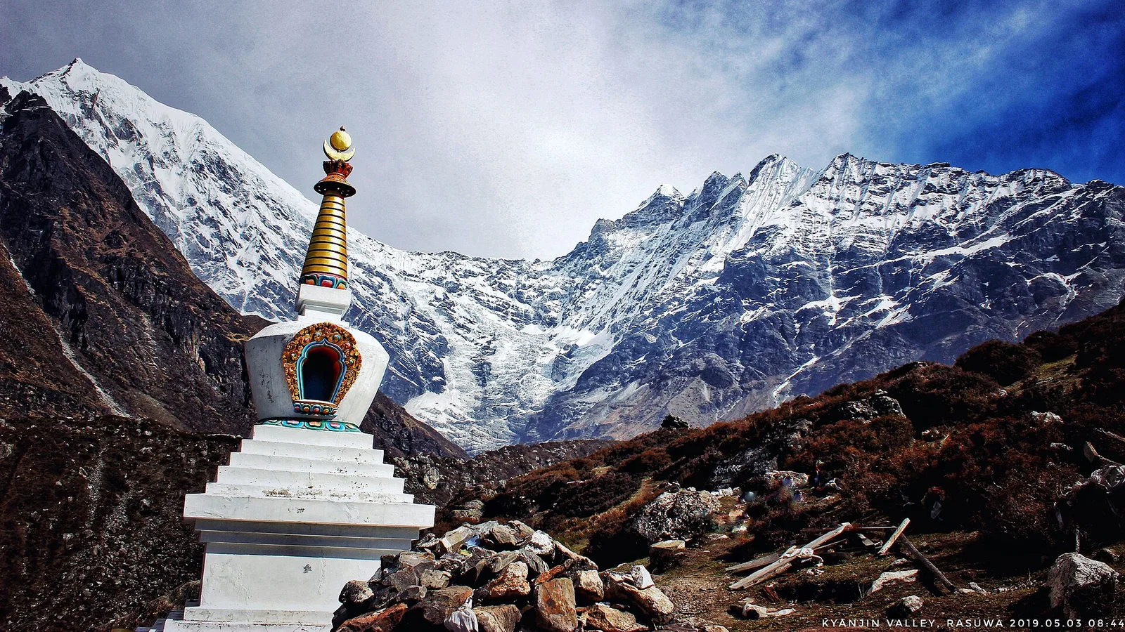
Safety & Advisories
The Rasuwa Flood and Your Nepal Trek: Langtang Access, Safety and Autumn 2026
Everest and Annapurna are unaffected; only Langtang’s gateway and the overland Tibet route are disrupted by the 26 August Rasuwa flood — here is what it means for your trip.
Latest from the desk
Money & Insurance
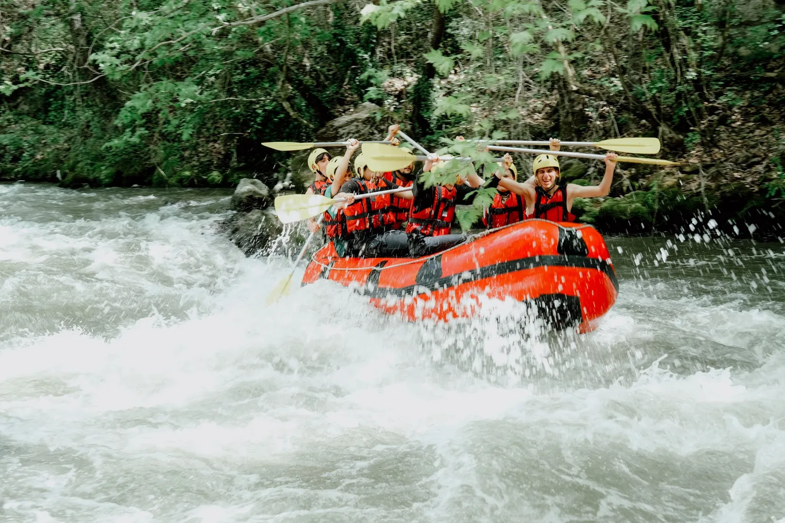
Adventure & Activity Travel Insurance in 2026: Why Standard Cover Excludes Rafting, Diving, Skydiving and High Trekking
Scuba, bungee, skydiving, quad bikes, jet skis, rafting, safari, motorbiking and trekking above a certain altitude are the activities standard travel insurance quietly leaves out. Here is how activity tiers and add-ons work, why an undeclared activity can void the whole claim, and how to match cover to your trip.
Climate & Environment
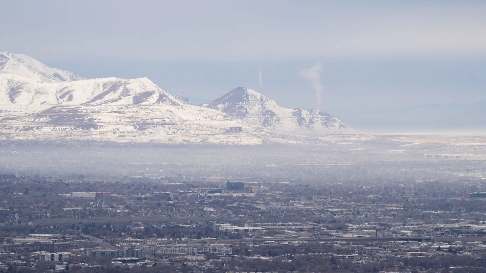
Soot Is Darkening Himalayan Snow and Speeding Its Melt, 2026 Science Shows
Soot darkens Himalayan snow so it absorbs more sunlight and melts faster — a second, faster-acting driver of glacier loss alongside warming, and the one the region could switch off within weeks.

Visas & Entry
Taking a Pet Abroad in 2026: The Rules Most Owners Underestimate
Microchip, rabies vaccination and a waiting period, a health certificate or pet passport, tapeworm treatment and even quarantine — a plain-English guide to taking a pet abroad in 2026, and why it has to start months before you fly.