
Why the Bhote Koshi Keeps Flooding: Glacial Lakes, Ice-Rock Avalanches and a Warming Himalaya (2026)
No single cause is confirmed yet — scientists are weighing an earthquake-triggered landslide, an ice-rock avalanche and a draining glacial lake, against a Himalaya warming fast enough to flood the same river twice in 14 months.
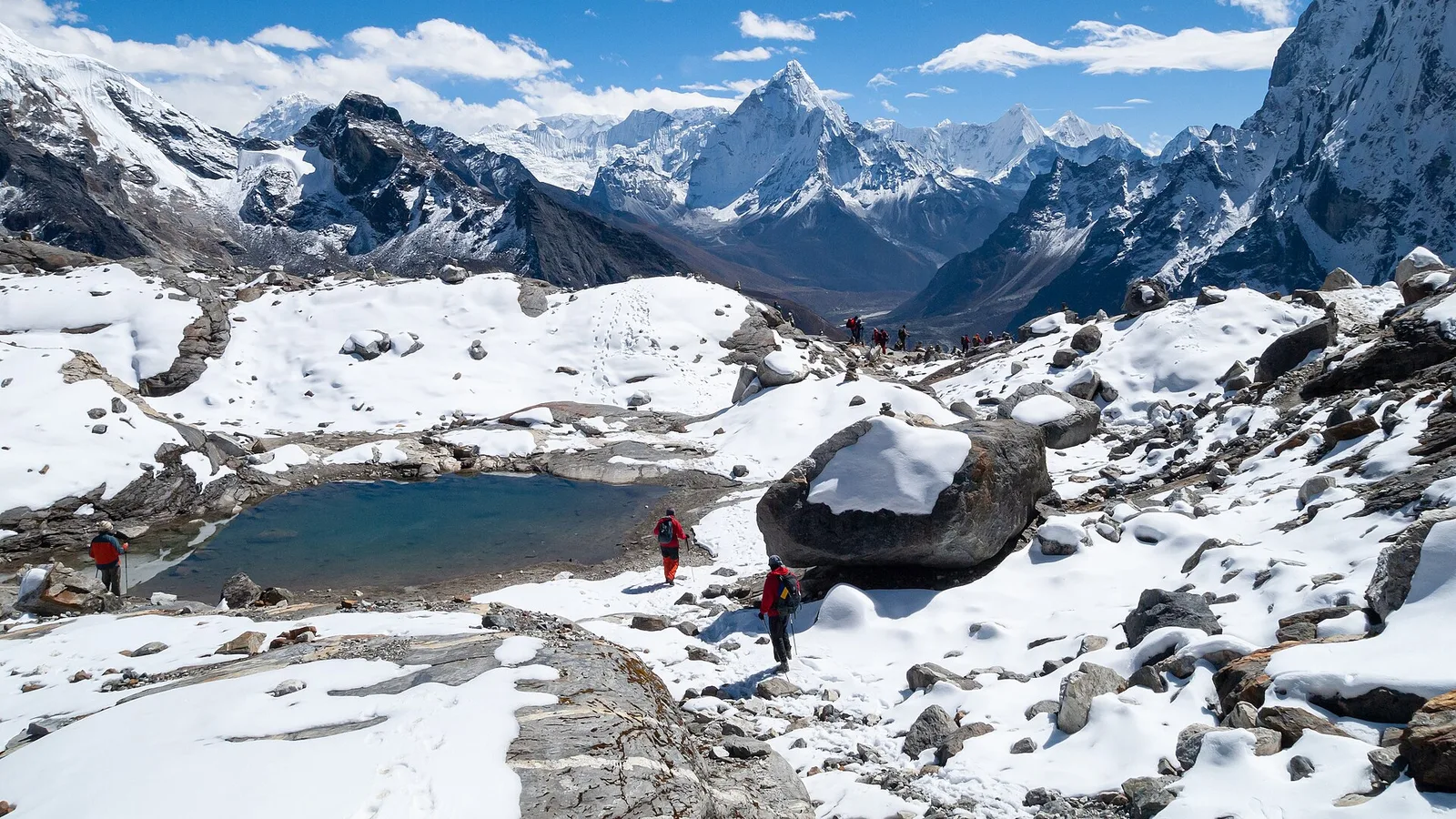
Part of our continuing series — The Himalaya and Climate Change in 2026.
On the morning of 26 August 2026, a wall of water surged out of Tibet and down the Bhote Koshi River into Nepal's Rasuwa district, tearing through the border settlements of Timure and Syabrubesi before running on down the Trishuli into Nuwakot and Dhading. Police in Bagmati Pradesh — spokesman Abi Narayan Kafle — reported at least 95 people confirmed dead in Nepal as the toll climbed through the day, with hundreds more initially listed as missing and then progressively accounted for. We cover the event itself, the rescue and the impact on travellers in our main report. This piece asks the harder question: why does this one stretch of river keep flooding?
The honest answer, as of today, is that no single cause has been established — and the three leading explanations point at three different triggers high in the mountains. What they share is a warming Himalaya that is loading the slopes and the ice with more water, and more instability, than the valleys below were ever built to absorb.
Three competing explanations
- Earthquake-triggered landslide — Nepal's Foreign Minister Shishir Khanal says a quake shook loose an avalanche or landslide that dammed the Bhote Koshi; the USGS logged an mb 4.4 earthquake in Tibet.
- Ice-rock avalanche — ICIMOD scientists Saswata Sanyal and Sarthak Shrestha point to a rock-and-ice avalanche off a glacier that blocked the Lhende Khola, then let go in a surge.
- Supraglacial-lake drainage — ICIMOD's Sudan Maharjan, reading satellite imagery, traces the flood to a lake draining on a glacier's surface north of Nepal's Langtang Himal.
What actually came down the valley
The maximum flooding was on the Lhende Khola, a tributary of the Bhote Koshi, with the trigger point roughly 25 km inside Tibet. From there the water funnelled through the Rasuwagadhi–Gyirong (Kerung) border zone and into Nepal. Whatever set it off happened high up, in terrain of glaciers, steep rock and standing meltwater — which is precisely why the cause is contested rather than obvious. To weigh the three explanations, it helps to understand what each mechanism actually does.
A supraglacial lake — a pond on top of the ice
A supraglacial lake forms on the surface of a glacier, where meltwater collects in ponds that expand and merge into a larger body of water sitting directly on the ice. Because its bed and its banks are ice rather than rock, such a lake can fail suddenly: the ice shifts, a channel opens beneath or through it, and the lake empties down-valley in hours — sometimes minutes — as a fast, sediment-heavy flood. This is the reading ICIMOD's remote-sensing specialist Sudan Maharjan offered from the first satellite passes. "This is based on the preliminary analysis based on the available satellite images," he cautioned — the imagery, he said, showed the flood originating from a supraglacial lake draining north of Nepal's Langtang Himal.
An ice-rock avalanche — a natural dam that fails
In the second reading, favoured by ICIMOD's Saswata Sanyal and Sarthak Shrestha, a mass of rock and ice broke off a glacier and crashed into the valley floor. Debris on that scale can pile across a river and pond a lake behind it — a temporary, unstable barrier. The danger is what happens next: the water rises until it overtops the debris or the barrier simply collapses, and the whole impounded volume is released at once as a surge far larger than the river's normal flow. On the Lhende, a barrier of that kind blocking and then bursting would explain both the suddenness and the destructive power of what reached Timure and Syabrubesi.
An earthquake that shook the slope loose
The third explanation ties the flood to the ground itself moving. Foreign Minister Shishir Khanal has said an earthquake triggered the avalanche or landslide that blocked the Bhote Koshi. The USGS recorded an mb 4.4 earthquake in Tibet, and roughly seven minutes separated that quake from the timestamp on a border security camera that caught the surge — a tight enough gap to make a causal link plausible, though not proven. It is worth saying plainly that these three explanations are not neatly separate: a quake can dislodge an ice-rock avalanche, which can dam a river and then release. That overlap is part of why untangling them takes time — and why, for now, "authorities have not yet established a cause for the floods."
| Explanation | Who proposed it | Evidence cited |
|---|---|---|
| Earthquake-triggered landslide / avalanche | Foreign Minister Shishir Khanal | USGS mb 4.4 quake in Tibet; ~7 minutes before a border camera caught the surge |
| Ice-rock (glacial) avalanche damming the Lhende | ICIMOD — Saswata Sanyal, Sarthak Shrestha | A rock-and-ice avalanche off a glacier blocking the tributary, then releasing |
| Supraglacial-lake drainage | ICIMOD — Sudan Maharjan | Satellite imagery of a lake draining north of the Langtang Himal (preliminary) |
| Official position | Government / NDRRMA | Cause not yet established |
A river that flooded twice in fourteen months
This is the part that should give pause to anyone who lives, trades or treks below these valleys. The Bhote Koshi and its Lhende tributary flooded once already, in July 2025 — a flood attributed at the time to drainage from a supraglacial lake in Tibet. That means the same river system has now flooded twice in roughly fourteen months, from a high-mountain water source, with the second event far more destructive than the first.
A Bhote Koshi / Lhende flood attributed to a supraglacial lake draining in Tibet.
A surge down the Lhende and Bhote Koshi into Rasuwa; the cause is disputed.
ICIMOD's Saswata Sanyal describes the pace of these events as "unprecedented" in the Hindu Kush Himalaya. That single word carries the whole climate argument. Warmer air melts more ice and pushes the melt season longer; more meltwater means more and bigger ponds on and beside the glaciers; and the barriers that hold that water — ice, loose moraine, avalanche debris — are themselves growing less stable as the ice that once buttressed them thins. Nepal sits at the sharp end of this: the country is highly exposed to climate-driven hazards including extreme rainfall, flash floods, landslides and glacial lake outburst floods (GLOFs). We explain how these mountain lakes form and fail in our guide to glacial lake outburst floods, and track the wider retreat of Nepal's ice in why Nepal's glaciers are melting.
None of this tells us which trigger fired on 26 August. But it tells us why the odds of a trigger firing are rising — and why a river that had a once-in-memory flood can have a worse one the following summer.
What this means for the mountains — and the people below them
The debate over quake, avalanche or lake is not academic. It decides what you monitor and where you build an early-warning siren. A warming Himalaya is manufacturing all three hazards at once, high above valleys full of villages, border trade, hydropower and trekking routes — and the water reaches them in minutes, not hours. Until cause-specific monitoring and early warning catch up with the pace ICIMOD calls "unprecedented," the safest assumption for anyone downstream of a glacier is that the mountain can send its water down without notice.
What it means on the ground
Syabrubesi is the road-head where essentially every Langtang Valley trek begins, reached by the Pasang Lhamu Highway from Kathmandu, and Timure sits on the Rasuwagadhi border road — so this flood struck the gateway to Langtang and the main overland route toward Tibet at the same time. The condition of the trail up the Langtang valley itself is being assessed; road and bridge access via Syabrubesi may be disrupted while repairs run, and Langtang's main season is still several weeks off in October–November. If you are travelling, check current conditions with your operator and the authorities rather than assuming — we set out the practical safety picture in our Rasuwa flood and Langtang trek safety update.
When the valley reopens — and it will — the way to help the communities that were hit is to keep walking there with local guides and lodges. If Langtang is on your list, our Langtang Valley Trek and Langtang & Gosaikunda Trek both start from Syabrubesi, and for the Khumbu our Everest Base Camp Trek runs a different watershed entirely. Talk to us about timing before you book — this season, that conversation matters more than usual.
Reporting drawn from Wikipedia's "2026 Nepal floods", Euronews, glacier analysis from ICIMOD, and earthquake data from the USGS. All casualty and missing-person figures are provisional and were changing as this was written.
Cover photo: Vyacheslav Argenberg via Wikimedia Commons (CC BY 4.0).
来源: Wikipedia (2026 Nepal floods); Euronews; ICIMOD; USGS
计划徒步?
我们负责许可证、后勤与向导
NMA 认证的本地向导,价格透明,自 1998 年以来 5,000+ 次徒步。告诉我们你的日期,其余的交给我们。


更多「Climate & Environment」
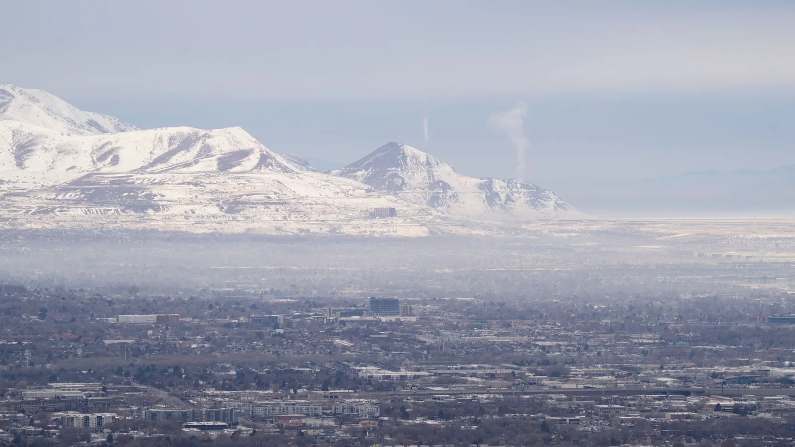
Climate & Environment
Soot Is Darkening Himalayan Snow and Speeding Its Melt, 2026 Science Shows
Soot darkens Himalayan snow so it absorbs more sunlight and melts faster — a second, faster-acting driver of glacier loss alongside warming, and the one the region could switch off within weeks.
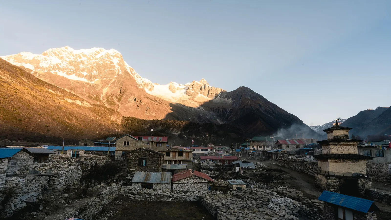
Climate & Environment
Nepal's Glacial-Flood Warning Gap: Why GLOFs Keep Catching the Mountains Off Guard (2026)
Nepal's flood alarms watch its own known lakes — but the Bhote Koshi's disasters keep starting across the border in Tibet, beyond every sensor, arriving with minutes of warning at best.
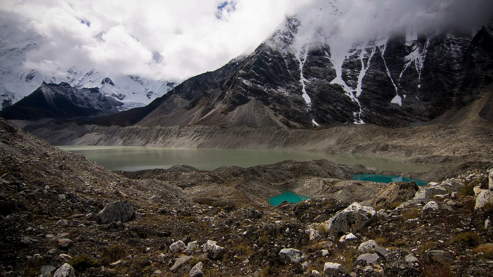
Climate & Environment
Glacial Lake Outburst Floods: Nepal’s Fast-Growing Mountain Hazard in 2026
As Himalayan glaciers retreat they leave meltwater lakes dammed by loose moraine — and when a dam fails, the flood tears down the valley. Here is what a GLOF is, why they are increasing, and what Nepal is doing about it.