Monsoon Landslide Reality: Which Nepal Trails Close in the Rains — and How to Trek Safe (2026)
From overnight mudslides to washed-out roads, the monsoon rewrites the trail map daily. Here is where the risk is highest, where it is not, and the calls that keep you safe.

Key facts
- The monsoon brings the great majority of Nepal's annual rain between mid-June and mid-September, with July and August the wettest.
- Landslides and flash floods — not altitude — are the main objective hazard of monsoon trekking.
- The first thing the rain closes is usually the road to the trailhead, not the trail itself.
- North of the main Himalaya, the rain-shadow regions stay dry and walkable all summer.
People tend to imagine monsoon danger as something that happens high on the mountain. In our experience it is the opposite. The rains rarely trouble you above the tree line, but they can wash out the road that gets you to the trail, turn a forest path into a mudslide overnight, and swell a stream you crossed dry in the morning into something you cannot cross by afternoon. Here is an honest map of where the risk sits in 2026 — and where it does not.
Where the rain bites hardest
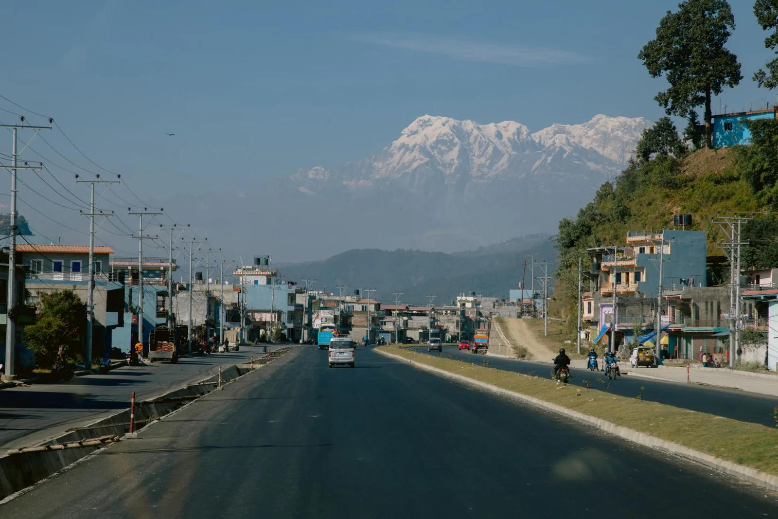
The access roads are the weak link. The drives to Syabrubesi and Dhunche for Langtang, Besisahar for the Annapurna Circuit and Manaslu, and Beni for lower Mustang all run along river gorges that shed rock and mud in heavy rain, and a single slide can close them for hours or days. The lower, forested sections of trail are slippery and leech-ridden, and small slips are common. River and stream crossings are the other classic trap, rising fast and dangerously after a night of rain.
Where it is safe to walk
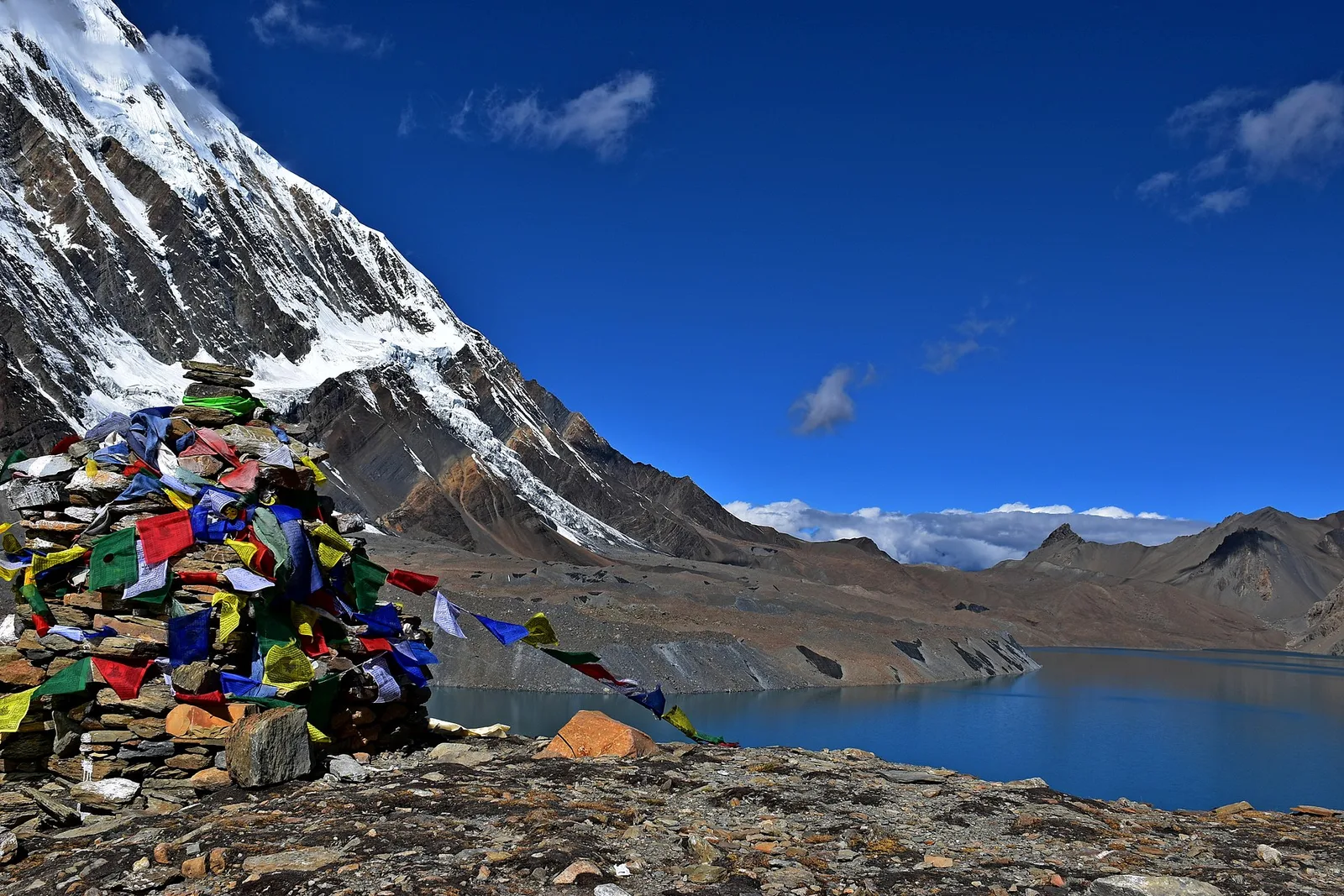
North of the high peaks, the Himalaya wrings the rain out of the clouds and the land beyond stays dry. Upper Mustang, Dolpo, Nar-Phu and the upper Manang valley lie in this rain shadow. They see only a fraction of the rain that falls on the rest of the country and trek beautifully right through July and August — which is exactly why they are our standard recommendation for a summer trip.
| Region | Monsoon risk | Verdict |
|---|---|---|
| Upper Mustang / Dolpo | Low (rain shadow) | Go |
| Nar-Phu / upper Manang | Low to moderate | Good with a guide |
| Annapurna Circuit (lower) | Moderate to high | Road slides likely |
| Langtang / Manaslu | High | Access roads risky |
| Everest (Khumbu) | High | Flights and cloud |
What this means for trekkers
The decisions that keep you safe
Monsoon trekking is a game of information, not bravado. Trail conditions change overnight, so a guide's local network — lodge owners, jeep drivers, the checkpoint up ahead — is your real safety system. Keep the itinerary flexible, build in buffer days, never camp on a valley floor or cross a flooded stream in heavy rain, and choose a rain-shadow route if you are walking in July or August. Done that way, monsoon Nepal is green, quiet and entirely doable.
Want the summer mountains without the mud? The rain-shadow north is the answer — see our Annapurna Circuit with Tilicho Lake or the fly-out Jomsom option, both of which reach into the drier high country. Check timing on our permits page and talk to us about the safest route for your dates.
Source: Department of Hydrology and Meteorology (monsoon norms); operator trail reports, June 2026.
Source: Department of Hydrology and Meteorology
Planning a trek?
We handle the permits, logistics & guides
NMA-certified local guides, transparent pricing, 5,000+ treks since 1998. Tell us your dates and we'll sort the rest.
More in Safety & Advisories

Safety & Advisories
Is Nepal safe for American travellers in 2026? An honest guide
From trail safety to altitude to the latest advisories, here's a straight answer for US travellers wondering whether Nepal is safe to visit and trek in 2026.
Safety & Advisories
How to train for Everest Base Camp: an 8-to-12-week plan
You don't need to be an athlete to reach Everest Base Camp — but you do need to prepare. Here's a realistic 8-to-12-week training plan for the world's most famous trek.
Safety & Advisories
Nepal Monsoon Road Conditions 2026: Landslides, Closures & Reaching Your Trek
As the monsoon settles in, landslides and floods periodically block Nepal's mountain highways. Here's how to travel smart to your trailhead — and why a buffer day matters.