Nepal Monsoon Road Conditions 2026: Which Highways Are Blocked Right Now
Updated 21 July 2026 — nine highways hit by landslides and floods, the Prithvi Highway blocked at Fishling and Muglin–Kathmandu closed. Here's what's open, what's shut, and how to still reach your trailhead.
Live status — updated 21 July 2026
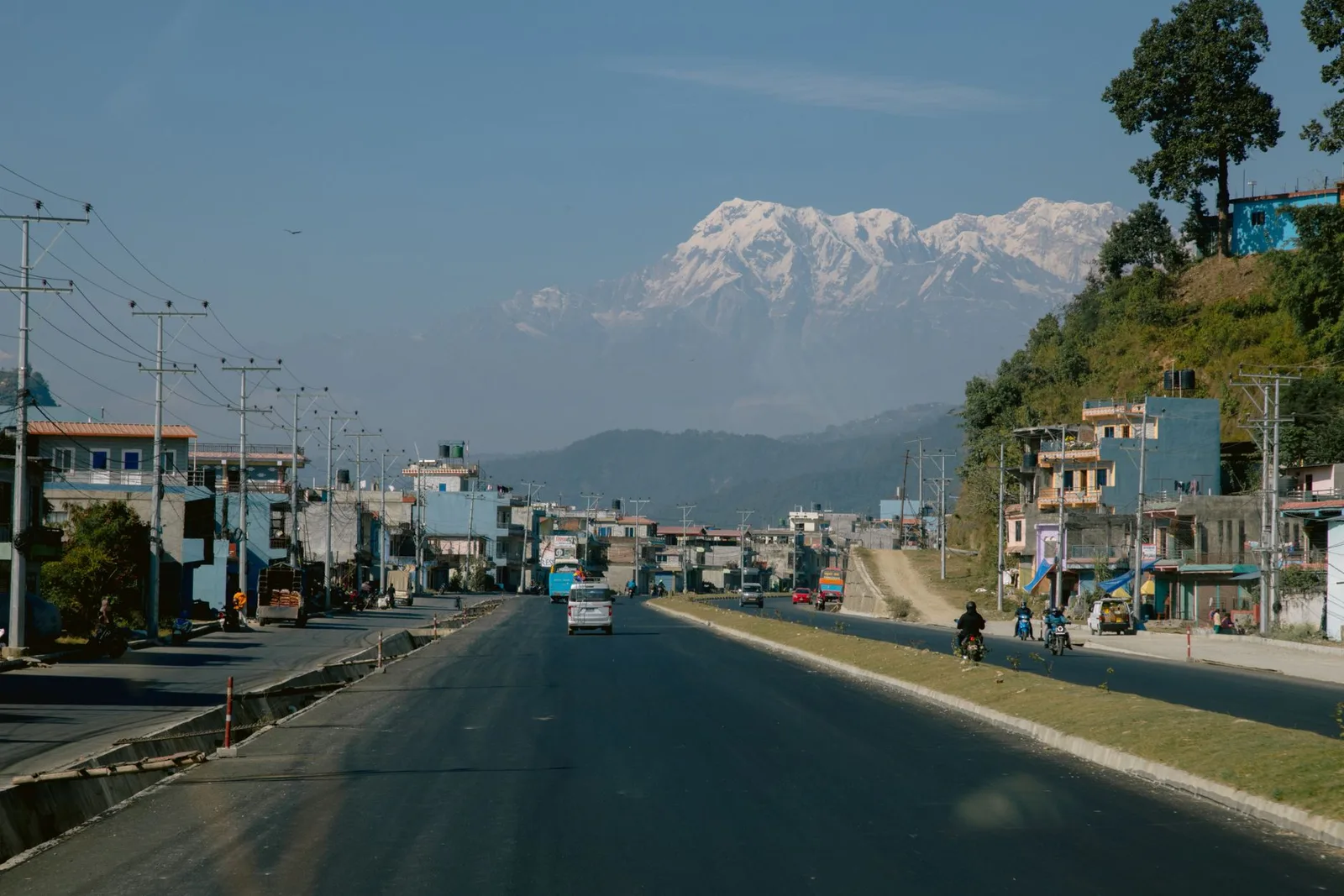
Nine highways were blocked by landslides and floods this week. The Prithvi Highway is blocked at Fishling (Chitwan) on the main Kathmandu–Pokhara corridor, and the Muglin–Kathmandu section remains closed. The Narayangadh–Muglin–Pokhara road is open. The Department of Roads has 155 excavators deployed along the highways with 122 more on standby. Authorities are advising travellers to avoid non-essential road travel and to check conditions before setting out.
| Route | Status |
|---|---|
| Muglin → Kathmandu (Prithvi Highway) | Closed — landslide at Fishling |
| Narayangadh → Muglin → Pokhara | Open |
| Highways blocked nationwide this week | 9 |
| Clearing machines deployed | 155 (+122 on standby) |
Live status sourced from The Kathmandu Post and the Department of Roads, 19–20 July 2026. Conditions change hourly in monsoon — always confirm on the day you travel.
Most trekking-season conversations are about the weather on the trail. But from June to September, the bigger travel risk in Nepal is often the road to the trail. The monsoon regularly triggers landslides and flooding on the mountain highways that link Kathmandu to Pokhara, Chitwan and the eastern hills — and a blocked road can cost you a day. Here is the honest picture for 2026, and how to plan around it.
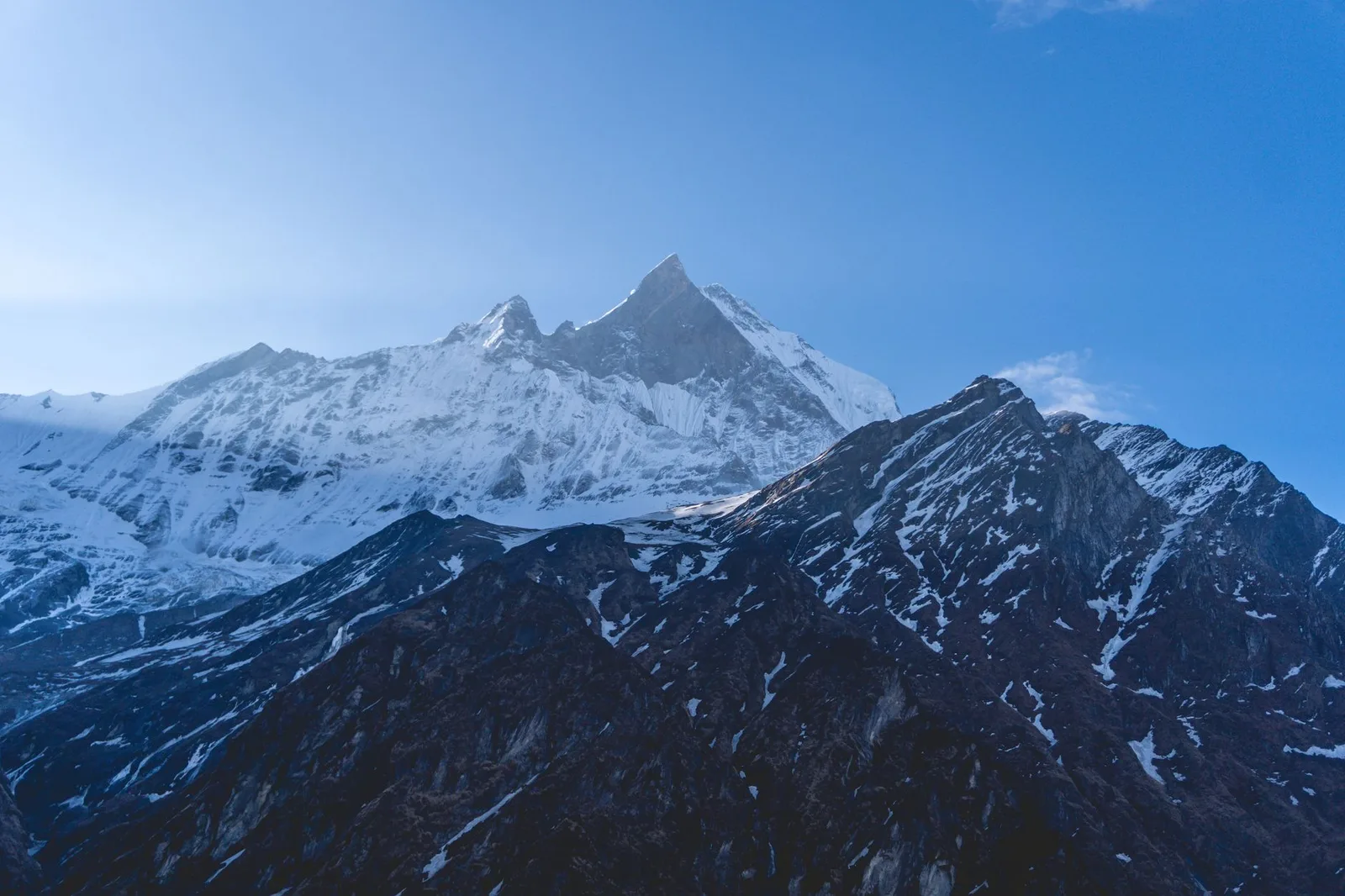
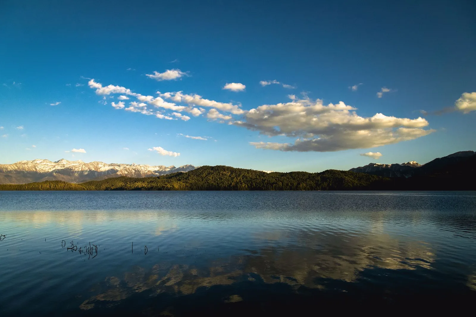
From the trail · Annapurna


Key facts
- Monsoon runs June–September; highway blockages are routine
- The Narayanghat–Mugling road carries 12,000+ vehicles a day
- Tuin Khola, near Mugling, is a known landslide hotspot
- The Araniko Highway (toward the Tibet border) blocks frequently
The roads that matter
A handful of arteries carry almost all trekker road travel, and each has its monsoon weak points. The Narayanghat–Mugling section — the spine connecting Kathmandu, Pokhara and Chitwan — is the busiest and most landslide-prone, with the Tuin Khola area a perennial concern. The Araniko Highway toward the northern border, which also serves the route to Langtang's Rasuwa district, frequently closes at points in the Bhotekoshi valley. Meanwhile the flood-battered BP Highway to the eastern Terai is under major reconstruction.
| Route | Role | Monsoon note |
|---|---|---|
| Narayanghat–Mugling | Kathmandu ↔ Pokhara / Chitwan | Landslide-prone (Tuin Khola) |
| Araniko Highway | Toward Tibet border / Rasuwa | Frequent landslides (Bhotekoshi) |
| Prithvi Highway | Kathmandu ↔ Pokhara | Busy; occasional blockages |
| BP Highway | Kathmandu ↔ eastern Terai | Under reconstruction |
How to travel smart
None of this means you cannot travel in the monsoon — millions do, and the rain-shadow treks are at their best now. It means you plan with margin. Where a flight exists (Kathmandu–Pokhara, for instance) and the budget allows, fly rather than drive on the tightest days. Build a buffer day into your itinerary so a one-day road closure does not sink your trek start. Travel the highways in the morning, before the afternoon rain peaks. And lean on local, day-by-day knowledge of which sections are open.
What this means for you
Monsoon travel in Nepal rewards flexibility. We watch the highways daily, route our clients around the trouble spots, fly the legs worth flying, and always build in a buffer so a landslide is an inconvenience rather than a cancelled trek. If you are travelling in the rains, let us handle the logistics — it is exactly when local knowledge earns its keep.
Still current — late July 2026
As of 20 July, nine major highways remain periodically blocked by monsoon landslides and floods; the Department of Roads has 155 machines deployed with 122 more on standby (Kathmandu Post). Access eases as the monsoon withdraws through September — plan your trailhead approach around the September transition.
Source: The Kathmandu Post; The Himalayan Times; Khabarhub.
Cover photo: Prince Nature via Pexels (Pexels License).
Source: The Kathmandu Post
Planning a trek?
We handle the permits, logistics & guides
NMA-certified local guides, transparent pricing, 5,000+ treks since 1998. Tell us your dates and we'll sort the rest.


Popular Nepal treks
All treks →


More in Safety & Advisories
Safety & Advisories
Everest Base Camp: Trek It or Fly It? The Honest 2026 Cost, Time and Safety Comparison
A helicopter can put you at Everest Base Camp in one day for about the same group price as the trek. Here's what the extra 9-14 days actually buy you, according to CDC altitude-risk guidance and our own 2026 pricing.
Safety & Advisories
How Fit Do You Actually Need to Be for Everest Base Camp vs Annapurna Base Camp? The Honest 2026 Benchmarks
EBC and ABC are both sold as moderate treks, but altitude, not distance, is what actually separates them. Here are the real training benchmarks, not the hype.
Safety & Advisories
Solo Female Trekker in Nepal? Here's How to Vet a Guide and Choose a Trek in 2026
Nepal has required every foreign trekker to hire a licensed guide since April 2023, which changes the real question for solo women from should I go alone to how do I pick the right guide and route. Here is the honest checklist.
Latest from the desk
Industry & Tourism
Nepal's Largest Lake Had Fewer Foreign Visitors All Year Than Everest Base Camp Gets in a Single Autumn Month
Rara Lake is bigger than Phewa, sits inside Nepal's smallest national park, and changes colour up to five times a day — yet only 208 travellers from outside South Asia saw it in the latest full tally. Here's the Himalaya's best-kept secret, by the numbers.
Industry & Tourism
Nepal Is Getting Its First Ritz-Carlton. Here's the Kathmandu Luxury Hotel Boom, by the Numbers
Marriott went from zero hotels in Nepal seven years ago to five open and four more signed, including its first Ritz-Carlton and first Luxury Collection hotel anywhere in South Asia, as record visitor arrivals convince global chains Kathmandu is finally luxury-ready.
Breaking · Records & People
He Climbed the World's 14 Highest Peaks Faster Than Anyone Alive. Now Nims Purja Is Missing on Broad Peak.
An avalanche between Camps 2 and 3 swept a 10-member team on Pakistan's Broad Peak on 30 July 2026. Four bodies have been recovered (not yet identified); six climbers, including Nims Purja, remain missing as helicopters search. Updated live.