
Nepal Has Mapped 2,070 Glacial Lakes. The One That Burst Was Not On the List.
A new ICIMOD and UNDP inventory counts 3,624 glacial lakes and flags 47 as dangerous — 42 of them in the Koshi basin. The lake that killed at least 165 people in August was not among them, because it did not exist the day before.

At a glance
- Published
- TopicClimate & Environment
- ReportingOriginal, by our guides in Pokhara
- Treks coveredAnnapurna Base Camp Trek — 7 Days, Everest Base Camp Trek — 14 Days
ICIMOD and the UNDP have just published a new inventory of the glacial lakes above Nepal, Tibet and northern India. They mapped 3,624 of them and judged 47 potentially dangerous.
It landed within a day of the Rasuwa flood. And the two together say something uncomfortable that neither says alone.
The lake that burst on 26 August is not on the list. It could not be. It did not exist the previous morning — an ice-and-rock avalanche built it that day by damming the Lhende Khola, and it failed within hours.
Where the dangerous ones are
The 47 are not spread evenly. They are overwhelmingly in one basin.
The Koshi basin drains the Everest region. That is where 42 of the 47 sit, and it is why the Khumbu has more monitoring and more early-warning work than anywhere else in the country.
| Where the lake sits | Potentially dangerous lakes |
|---|---|
| Tibet Autonomous Region, China | 25 |
| Nepal | 21 |
| India | 1 |
Note the top line. More of the lakes threatening Nepal sit in China than in Nepal, which is exactly what happened in August: the avalanche, the dam and the burst were all on the Tibetan side, and the water arrived in Rasuwa.
This has happened before, and it keeps taking the same things
An outburst in the Mahalangur Himal, one of the first in Nepal to be studied properly.
Five million cubic metres released from the Langmoche valley, peaking at 1,600 cubic metres a second. It destroyed a newly built hydropower station at Thamo, around 30 houses and 14 bridges, and caused more than US$3 million of damage.
An avalanche collapsed the moraine dam, releasing roughly 18 million cubic metres at a peak of about 10,000 cubic metres a second. Around US$2 million of damage, and lives lost.
Another Mahalangur outburst, again triggered from above rather than by the lake slowly overfilling.
An ice-rock avalanche dams the Lhende Khola inside Tibet and bursts hours later, taking the border post, bridges and hydropower, and knocking roughly 430 MW off Nepal's grid.
Read 1985 and 2026 next to each other. Dig Tsho destroyed a brand-new hydropower station. Forty-one years later, Rasuwa took out 430 MW. Nepal keeps building its power on rivers that drain glaciers, because those are the rivers it has.
The part the inventory cannot fix
An inventory works on lakes that are there to be counted. It is genuinely useful: it is why Tsho Rolpa and Imja have been lowered and monitored, and why the Khumbu has warning systems at all.
But three of the five events above — 1998, 2017 and 2026 — were triggered from above the lake, by ice or rock arriving suddenly, not by a lake quietly overfilling. In August the dam itself was created and destroyed inside a single day.
You cannot monitor a lake that does not exist yet. That is the finding worth carrying out of this month, and it is why the response has to be about how fast a warning travels rather than only about which lakes are watched.
What this actually means if you are trekking
Honestly: less than the numbers suggest, and we would rather say so than frighten you into a booking somewhere else.
These are high-valley events on specific rivers. The Annapurna and Everest trekking trails were untouched in August, and they are running normally this autumn. Nepal has had five significant outbursts in fifty years across an entire mountain range that receives well over a million visitors a year.
What it does mean, practically: trek in the seasons the trails were designed around, take an operator who watches conditions rather than assumes them, and carry insurance covering helicopter evacuation to 4,500 m — most standard policies stop at 3,000 m, which is below the villages you sleep in.
Open right now · Annapurna & Khumbu


Trekking this autumn? We keep a live region-by-region status page — which trails are open, which access roads are cut — updated through the season from Pokhara: Nepal trekking conditions right now. The mechanism behind the August flood is explained here: what actually caused it.
Sources. Lake counts and the potentially-dangerous classification: Inventory of glacial lakes and identification of potentially dangerous glacial lakes in the Koshi, Gandaki and Karnali river basins, ICIMOD with UNDP. August 2026 event interpretation and the Galchchi and Malekhu gauge readings: ICIMOD, working with Nepal's Department of Hydrology and Meteorology. Historical outburst figures for Dig Tsho and Tam Pokhari: published hydrological literature and the World Bank/GFDRR review of glacial lake outburst floods in Nepal. Casualty and infrastructure figures from August remain provisional.
Annapurna and Everest are open this autumn
Both were untouched. These are the two we are putting people on for October and November, at the price a pair pays:
- Annapurna Base Camp — 7 days · from US$730 per person
- Everest Base Camp — 14 days · from US$1,650 per person
Planning a trek?
Trek this route with us — Everest Base Camp Trek — 14 Days
NMA-certified local guides, transparent pricing, 5,000+ treks since 1998. Message us your dates and we'll sort the permits, lodges and logistics — reply within 24 hours, no obligation.

Popular Nepal treks
All treks →


Related coverage
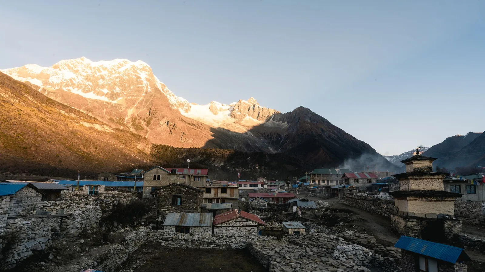
Climate & Environment
Nepal's Glacial-Flood Warning Gap: Why GLOFs Keep Catching the Mountains Off Guard (2026)
Nepal's flood alarms watch its own known lakes — but the Bhote Koshi's disasters keep starting across the border in Tibet, beyond every sensor, arriving with minutes of warning at best.
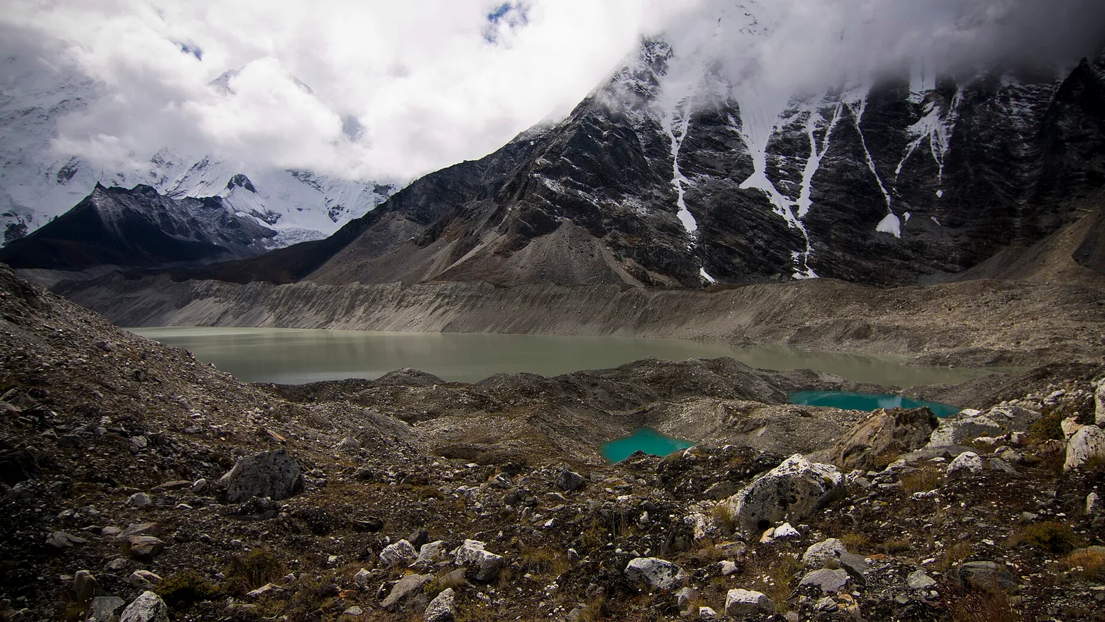
Climate & Environment
Glacial Lake Outburst Floods: Nepal’s Fast-Growing Mountain Hazard in 2026
As Himalayan glaciers retreat they leave meltwater lakes dammed by loose moraine — and when a dam fails, the flood tears down the valley. Here is what a GLOF is, why they are increasing, and what Nepal is doing about it.
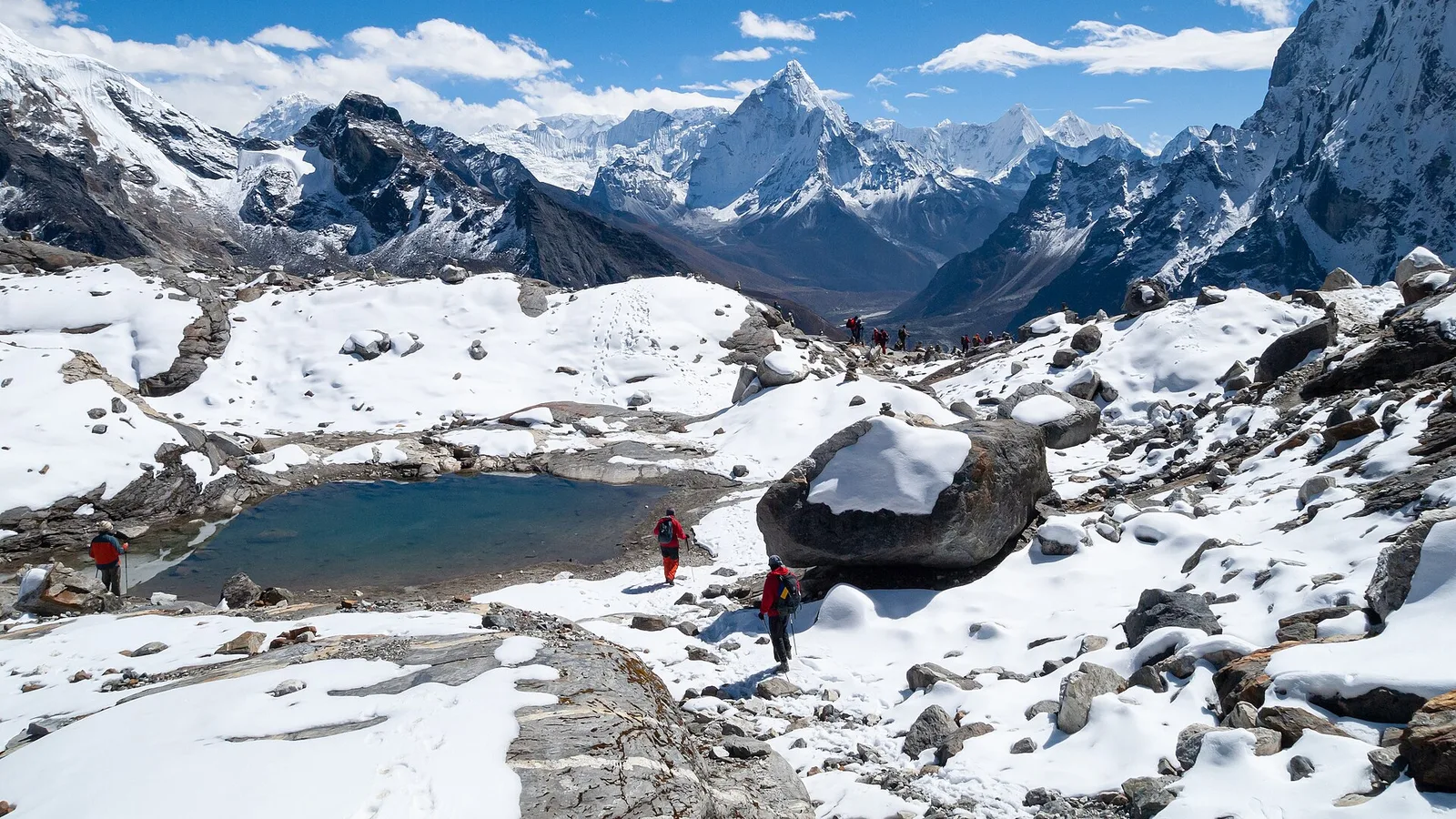
Climate & Environment
Why the Bhote Koshi Keeps Flooding: Glacial Lakes, Ice-Rock Avalanches and a Warming Himalaya (2026)
No single cause is confirmed yet — scientists are weighing an earthquake-triggered landslide, an ice-rock avalanche and a draining glacial lake, against a Himalaya warming fast enough to flood the same river twice in 14 months.
Climate & Environment
The USGS Logged It as an Earthquake. It Was 1,200 Metres of Mountain Falling.
Scientists now say the Rasuwa flood began with an ice-and-rock avalanche that fell 1,200 m, dammed a river inside Tibet, and burst hours later — and that the dam did not exist the previous morning.
Latest from the desk

Safety & Advisories
India Sends Around 50 Tonnes of Aid to Nepal as Modi Offers Condolences After the 2026 Floods
India is rushing tonnes of relief and rescue support to flood-hit Nepal, as Prime Minister Narendra Modi conveyed condolences to his Nepali counterpart and pledged India's full solidarity.

Money & Insurance
Does Your Credit Card Include Travel Insurance in 2026? What It Covers — and the Costly Gap
Many premium and travel cards bundle some cover — but it's usually secondary, conditional and capped, and it almost never pays for the emergency medical bill or evacuation that actually bankrupts travellers.

Safety & Advisories
Everyone Is Pledging Millions to Nepal. Here Is Where You Can Actually Send Money
The UN released $2m, the US pledged $500,000, India sent 50 tonnes. None of that helps if you are one person with a card. The official fund, the two alternatives worth trusting, and the scam window that is open right now.