
The Himalaya and Climate Change in 2026: The Big Picture, from Melting Glaciers to an Erratic Monsoon
Warming faster up high, glaciers in retreat, floods pooling behind unstable lakes, soot on the snow and a monsoon turning extreme — how the threads tie together, and what they mean for Nepal’s water, its people and the people who trek here.
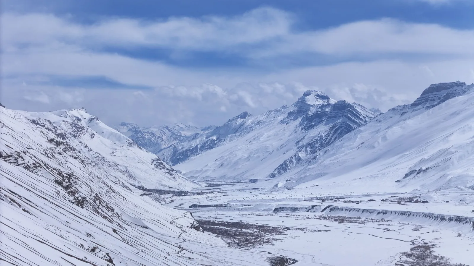
Few places on Earth show the fingerprints of a changing climate as plainly as the Himalaya. The range is a frozen reservoir on a continental scale — roughly 15,000 glaciers holding on the order of 12,000 cubic kilometres of fresh water, which is why scientists call it the “Third Pole.” That ice is the tap for Asia’s great rivers, and it is shrinking. For anyone who walks these mountains, or drinks from the rivers that flow out of them, the story is no longer a forecast. It is a measured, decades-long record, and it ties together half a dozen threads that are usually reported one at a time. This is the big picture: how the Himalaya is warming, what the ice is doing, and what it means for Nepal’s water, its people and the people who trek here.
Planning a trek this autumn? We keep a live region-by-region status page — which trails are open, which access roads are cut, and what we would book right now. It is updated through the season by our team in Pokhara: Nepal trekking conditions right now.
The big picture, at a glance
- Nepal’s all-country annual maximum temperature rose about 0.056°C a year between 1971 and 2014 — a little over half a degree per decade — and the high mountains tend to warm faster still.
- Studied glaciers across the greater Himalaya are retreating an average of roughly 18 to 20 metres a year, and ice mass fell about 9 per cent between the early 1970s and the early 2000s.
- Nepal has already logged around 14 glacial lake outburst floods since the 1930s, with about 21 lakes now flagged as potentially dangerous.
- As many as 1.4 billion people across the Hindu Kush Himalaya depend on the rivers that rise in these mountains.
The mountains are warming — and warming faster up high
Nepal ranks among the most climate-vulnerable countries on Earth, and the warming is written into the instrument record. The Department of Hydrology and Meteorology measured that all-Nepal maximum temperature climbing about 0.056°C per year over four decades. Mountains, though, do not warm evenly: high altitudes tend to heat faster than the lowlands, an effect researchers call elevation-dependent warming. The physics is self-reinforcing — as bright snow and ice melt back, they expose darker rock and water that soak up heat instead of bouncing it away, and thinner high-altitude air amplifies the change. The precise size of that altitude boost is still being refined and varies from range to range, so we will not pin a single number on it here. But the direction is not in doubt, and it is why a modest global rise lands hardest on the ice above 5,000 metres.
The glaciers are retreating
This is the clearest signal of all. Repeated surveys of the same ice, decades apart, show the terminus in a new place each time. Below Everest, the Khumbu Glacier — the tongue of ice trekkers walk beside on the way to Base Camp — pulled back roughly 18 metres a year between 1976 and 2007; of 15 glaciers studied in the region over that period, every one retreated, at an average near 28 metres a year. On the Tibetan flank the Rongbuk has been retreating around 20 metres a year. Across the wider range, ice mass fell about 9 per cent in three decades, and the loss has been accelerating since the mid-1970s. The retreat carries a strange double edge: for now the extra melt adds water to the rivers, but over the long run it drains the frozen bank account those rivers depend on — the “peak water” problem, where flows rise first and then fall.
| Driver | What it does |
|---|---|
| Faster warming at altitude | Melts snow and ice back; the bare rock left behind absorbs more heat |
| Glacier retreat & thinning | Adds water to rivers now, reduces the long-run dry-season supply |
| Glacial lake outburst floods | Melt pools behind unstable moraine dams that can fail suddenly |
| Black carbon (soot) on snow | Darkens the surface, so it absorbs sunlight and melts faster |
| An erratic, extreme monsoon | Concentrates rain into heavier bursts, driving floods and landslides |
Meltwater pools into dangerous lakes
As glaciers pull back, their meltwater collects behind loose dams of rock and debris left by the ice. Those moraine dams can fail without warning, sending a wall of water and boulders down-valley — a glacial lake outburst flood, or GLOF. Nepal has recorded around 14 of them since the 1930s and now watches roughly 21 lakes rated potentially dangerous. Several of the country’s classic trekking valleys were shaped by past floods, which is part of why more than 80 per cent of Nepal’s disaster property losses trace back to water-related hazards.
Soot makes it worse, and the monsoon is turning erratic
Two further threads compound the melt. Black carbon — soot from cooking fires, diesel and crop burning across the region — settles on high snow and darkens it, so it absorbs sunlight instead of reflecting it and melts faster. And the monsoon that delivers most of Nepal’s water each year is growing less predictable: precipitation extremes are increasing, meaning the same annual total arrives in fewer, heavier bursts. That whipsaw between severe dry spells and violent downpours is a hallmark of the warming, and it is what turns an ordinary storm into a flood. Nepal’s 2018 floods alone caused an estimated US$600 million in damage.
What it means for water, people and trekkers
Everything above flows downhill into the same question: water. The Indus, the Ganges and the Brahmaputra all rise in these mountains, and as many as 1.4 billion people across the Hindu Kush Himalaya rely on the rivers they feed. In one scenario, retreating glaciers could cut summer flows by up to two-thirds and put the Ganges basin under water stress for hundreds of millions. In Nepal itself, more than 80 per cent of hill communities depend on climate-sensitive farming, and warming is already pushing risks uphill — dengue-carrying mosquitoes, once confined to the lowlands, have now been found across all 77 districts and up to about 2,100 metres.
What this means for your trek
None of this is a reason to stay away — the odds of a flood on any given day are very low, and the mountains remain as extraordinary as ever. But it is a reason to trek with people who read the ground. A good local guide knows which valleys were carved by past floods, which stretches to clear quickly in heavy weather, where the high ground is if a river suddenly turns brown and loud, and how a shifting monsoon changes the safest windows to walk. You may also simply notice the change — a glacier terminus further back than the old photographs, a fresh scar down a hillside — and knowing why makes the landscape read differently.
The full picture, in depth
This overview is the doorway. Each thread has its own deeper story, reported and sourced on this desk:
- Nepal’s glaciers are retreating — the science: how fast the ice is pulling back, and why the extra water now becomes a shortage later.
- Glacial lake outburst floods: how melt pools into unstable lakes, and Nepal’s fastest-growing mountain hazard.
- Soot on the snow: how black carbon darkens the Himalaya and speeds the melt.
- The changing monsoon: why Nepal’s rains are turning erratic and extreme.
- Everest’s melting ice: what the retreating ice is uncovering high on the mountain.
- The Khumbu by 2100: what a 2026 study projects for the glacier below Everest, and for the trek.
- The Thame flood of 2024: the Everest village that vanished in 22 minutes — and the “doomsday lake” myth.
More from a warming Himalaya
- The flood that nearly erased Thame — the home village of Everest’s greatest Sherpas, and a warming climate.
- Building a glacier by hand — Upper Mustang’s ice stupas against a deepening water shortage.
- The boot from Everest’s ice — how a melt-out may solve a 100-year mountaineering mystery.
- Annapurna’s climate range — rice paddies to arctic desert in twelve days of trail.
Taken together, these are not separate crises but one system under strain: warmer air, shrinking ice, water that arrives at the wrong time, and communities and trekkers learning to live with a mountain range in motion. Understanding it is the first step to travelling here well.
Cover photo: Yogendra Singh via Pexels (Pexels License).
计划徒步?
我们负责许可证、后勤与向导
NMA 认证的本地向导,价格透明,自 1998 年以来 5,000+ 次徒步。告诉我们你的日期,其余的交给我们。


更多「Climate & Environment」

Climate & Environment
Nepal Lost a Tenth of Its Power Grid in Thirty Minutes
431 megawatts gone, six plants down the same river, and another 470 MW damaged before it was even finished. The Rasuwa flood was a national infrastructure event, not just a mountain one.

Climate & Environment
Nepal Has Mapped 2,070 Glacial Lakes. The One That Burst Was Not On the List.
A new ICIMOD and UNDP inventory counts 3,624 glacial lakes and flags 47 as dangerous — 42 of them in the Koshi basin. The lake that killed at least 165 people in August was not among them, because it did not exist the day before.

Climate & Environment
The USGS Logged It as an Earthquake. It Was 1,200 Metres of Mountain Falling.
Scientists now say the Rasuwa flood began with an ice-and-rock avalanche that fell 1,200 m, dammed a river inside Tibet, and burst hours later — and that the dam did not exist the previous morning.