
Is Pokhara safe from the floods? Yes, but getting there from Kathmandu is the real problem
Pokhara and Kaski district were not hit by the 26 August 2026 flood, which came down a different river system about 150 km east. The road in from Kathmandu is the part that is broken.
At a glance
- Published
- TopicSafety & Advisories
- Verified againstThe Kathmandu Post
- Treks coveredAnnapurna Base Camp Trek — 9 Days, Ghorepani Poon Hill Trek — 5 Days, Mardi Himal Trek — 4 Days
Yes. Pokhara was not hit by the 2026 floods, and it is not downstream of them. The flash flood of 26 August came down the Bhote Koshi into Rasuwa district, about 150 km east of here, and travelled south down the Trishuli into Chitwan and Nawalparasi. Pokhara sits in Kaski district on the Seti Gandaki, a different river that rises under the Annapurnas and only meets that system roughly 150 km downstream of the city. Water from the flood could not reach Pokhara any more than the Thames can flow uphill. Kaski does not appear in the government’s district-by-district death toll at all. The one thing that genuinely changed for visitors is the road in from Kathmandu, which is cut — fly instead.
Key facts — Pokhara after the 26 August 2026 flood
- Pokhara and Kaski district: no flood damage, no deaths recorded in the NDRRMA district toll
- Distance from the flood zone: about 150 km west of Rasuwagadhi, with the Annapurna massif in between
- River system: Pokhara is on the Seti Gandaki; the flood came down the Bhote Koshi–Trishuli–Narayani
- US travel advice: Pokhara is not named in the Level 4 zone; the whole country outside one Rasuwa corridor stays Level 2
- Lakeside, Phewa Lake, paragliding, Sarangkot: all operating normally
- Annapurna trailheads: Ghandruk, Nayapul, Kande, Dhampus — all open
- The real disruption: the Prithvi Highway from Kathmandu is cut at Krishnabhir. Fly, do not take the bus.
Why Pokhara Was Never in the Flood’s Path
Nepal is often pictured as one small country where a disaster in the north is a disaster everywhere. Hydrologically it is nothing of the kind. It is a set of parallel river systems running south off the Himalaya, and a flood in one of them has no route into another.
The 26 August wave began on the Bhote Koshi, on the Tibetan border in Rasuwa. It ran down into the Trishuli, gathered the Kali Gandaki at Devghat to become the Narayani, and did most of its killing across the Terai plains in Chitwan and Nawalparasi. Pokhara is on the Seti Gandaki, which rises at the base of the Annapurna massif and flows south-east past the city and Damauli before joining the Trishuli far below Devghat. Pokhara sits upstream on a tributary. Everything the flood carried was already 150 km past that junction and heading for India.
That is why the geography of the death toll matters more than the total. The government’s figures show where the water actually went.
| District | Confirmed deaths | River system |
|---|---|---|
| Chitwan | 272 | Narayani |
| Nawalparasi East | 207 | Narayani |
| Nawalparasi West | 151 | Narayani |
| Nuwakot | 95 | Trishuli |
| Gorkha | 62 | Trishuli |
| Dhading | 55 | Trishuli |
| Tanahun | 37 | Trishuli |
| Rasuwa | 24 | Bhote Koshi |
| Kaski (Pokhara) | not listed | Seti Gandaki |
| Total | 903 | 4,247 still missing |
Every district in that list sits on the Bhote Koshi–Trishuli–Narayani line. Tanahun, with 37 deaths, is the nearest of them to Pokhara and shares a border with Kaski — but those deaths are along the Trishuli, on the far side of the district from the city. Kaski is absent from the list because nothing happened there.
What the US Advisory Actually Says About Pokhara
Nothing. Pokhara is not mentioned in the do-not-travel zone. On 31 August the United States kept Nepal at Level 2 nationwide and added a single Level 4 area covering the Rasuwagadhi–Timure–Syabrubesi corridor, the Nepal–China border crossing, and settlements along the Bhote Koshi, Trishuli and Narayani rivers. Everest, Annapurna, Manaslu, Pokhara, Kathmandu and Lumbini are all outside it. We went through the wording line by line in our read of the US travel advisory.
This distinction gets lost fast when a headline is shared. A Level 4 zone exists inside Nepal. Nepal is not a Level 4 country, and Pokhara is roughly 150 km from the corridor that is.
The Honest Caveat — Pokhara Is Not Flood-Proof
It would be easy to stop at “you are fine”, and it would be a slightly dishonest place to stop. Pokhara has had its own disaster, and it came from the same mountains the city is famous for looking at.
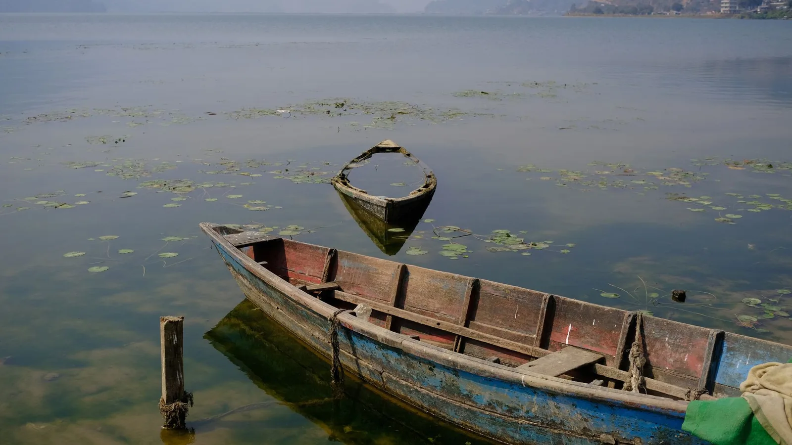
On 5 May 2012 a slurry of rock, sediment and water surged down the Seti gorge and through the Pokhara valley without warning, killing 72 people and destroying dozens of homes. It was not a monsoon flood. It came off the Annapurna massif on a clear morning, and most of the dead were at the riverside when it arrived. The Seti runs in a deep, narrow slot through the middle of the city, which is exactly why almost nobody notices it and why the 2012 wave was so lethal to the few people standing in it.
What that means in practice is small and specific: do not picnic, swim or camp in the Seti gorge or on a Himalayan riverbank in Nepal, in Pokhara or anywhere else. It has nothing to do with the 2026 flood and everything to do with how these valleys work. The city itself, Lakeside, Phewa Lake and the ridge above it are not exposed in the same way.
Getting to Pokhara Right Now Is the Actual Problem
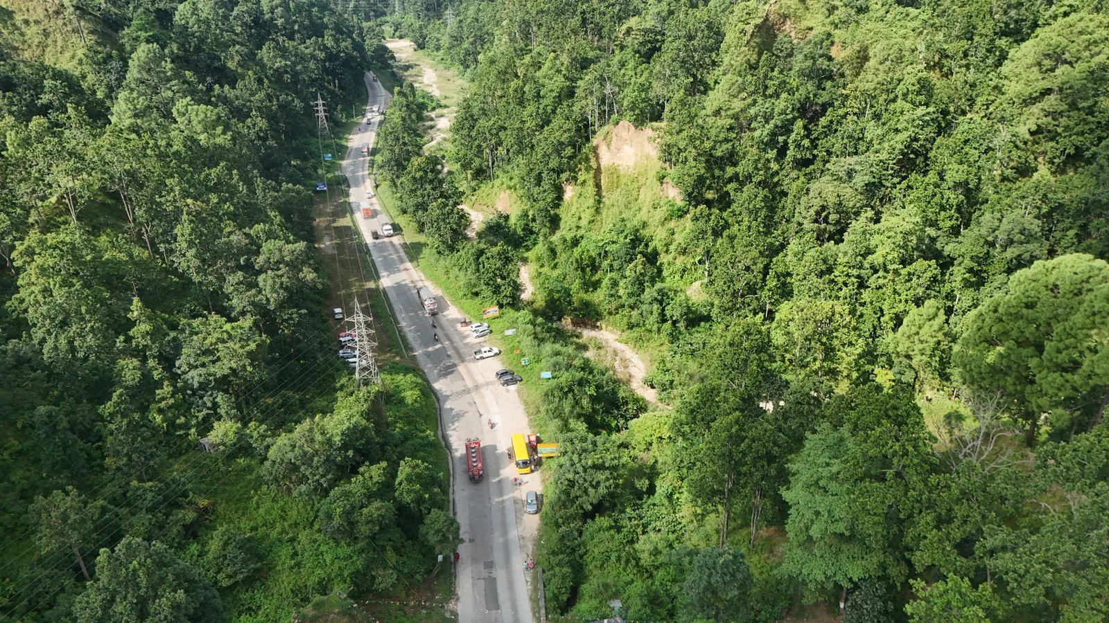
This is the part worth planning around, and it is not a safety question. About 20 metres of the Prithvi Highway subsided at Krishnabhir in Dhading on 30 August, closing the Kathmandu–Muglin road in both directions. Police put the repair at a month or more. Because Krishnabhir sits above the Muglin junction, every road route from Kathmandu to Pokhara, Chitwan, Lumbini and the Annapurna road-heads is cut at the same point. Two Gorkha back-road detours are open and add several hours on narrow rural roads. The full picture is in our report on the Krishnabhir collapse.
The answer is the 25-minute flight, which several airlines run daily and which is operating normally. If you are on one of our Annapurna treks and had a road transfer booked, message us — we rearrange it and you do not lose trekking days. If you were planning the tourist bus purely to save money, this is the season to spend the extra and fly.
What This Means for Your Trek
What this means for you
If your trip is Pokhara-based — Annapurna Base Camp, Poon Hill, Mardi Himal, Lakeside and paragliding — go. Nothing on the ground has changed and the trailheads are open. Change one thing only: book the flight from Kathmandu rather than the bus, and give yourself a spare day at the start rather than at the end, because the flight is weather-dependent and the road is not an option behind it. If your trip was in Langtang, Gosaikunda or the Tamang Heritage Trail, that is a different answer — those are paused, and we will say so rather than move you onto them.
Common Questions
Was Pokhara flooded in August 2026?
No. There was no flooding in Pokhara or anywhere in Kaski district from the 26 August event. Kaski does not appear in the NDRRMA district death toll.
Is Phewa Lake affected?
No. Phewa is a fed lake in the Pokhara valley, not on the flood’s river system. Boating and Lakeside are operating normally.
Are the Annapurna treks running?
Yes. Annapurna Base Camp, Ghorepani Poon Hill, Mardi Himal and the Annapurna Circuit are all open and running. The Annapurna region is on the Kali Gandaki and Marsyangdi drainages, west of the flood corridor.
Can I still get from Kathmandu to Pokhara?
By air, yes, normally — 25 minutes, several flights daily. By road, not on the Prithvi Highway, which is closed at Krishnabhir with a repair estimate of at least a month. The Gorkha detours work but add several hours.
Is it safe to swim or walk in the Seti gorge?
We would not, and we tell clients not to. That is a permanent piece of advice about Himalayan rivers rather than anything to do with 2026 — the 2012 Seti flash flood killed 72 people on a clear day with no rain.
Should I cancel or postpone?
Not for safety reasons if your trip is Pokhara or Annapurna based. October and November are the best trekking weeks of the year here and nothing about the flood touches them.
Where We Stand
We are a Pokhara company. Our office, our guides and our families are here, and if this city were unsafe we would be saying so, because we would be living in it. It is not. What we will not do is use that to imply the whole country is fine — 903 people are confirmed dead and 4,247 are still missing, Langtang and Gosaikunda are paused, and we are not booking anyone onto them. Both things are true at once, and a company that will only tell you the reassuring half is not worth booking with.
Planning an Annapurna trek this autumn?
Ask us anything about access, flights or trail conditions — we are in Pokhara and we will tell you what the guides are reporting today, not what a page says.
Message us on WhatsApp → · Ask us about your dates →
Annapurna Base Camp Trek — 9 Days · Ghorepani Poon Hill Trek — 5 Days · Mardi Himal Trek — 4 Days
Death toll and district figures: National Disaster Risk Reduction and Management Authority, as reported by The Kathmandu Post, 31 August 2026. Figures are provisional and have moved daily. Advisory wording: US Department of State, 31 August 2026. Seti valley 2012 figures: Seti Gandaki River.
Cover photo: Mick Latter via Pexels (Pexels License).
Still running this season
Annapurna Base Camp Trek — 9 Days is running normally
NMA-certified local guides, transparent pricing, 5,000+ treks since 1998. Message us your dates and we'll sort the permits, lodges and logistics — reply within 24 hours, no obligation.


Popular Nepal treks
All treks →


Related coverage
Breaking Flights & Access
The Kathmandu to Pokhara highway is cut at Krishnabhir and it could be shut for a month
The Prithvi Highway collapsed at Krishnabhir in Dhading on 30 August and the Kathmandu–Muglin road is shut both ways. Police estimate a month to reopen.
Safety & Advisories
Is the Kapuche Lake & Sikles Trek Affected by the 2026 Nepal Floods?
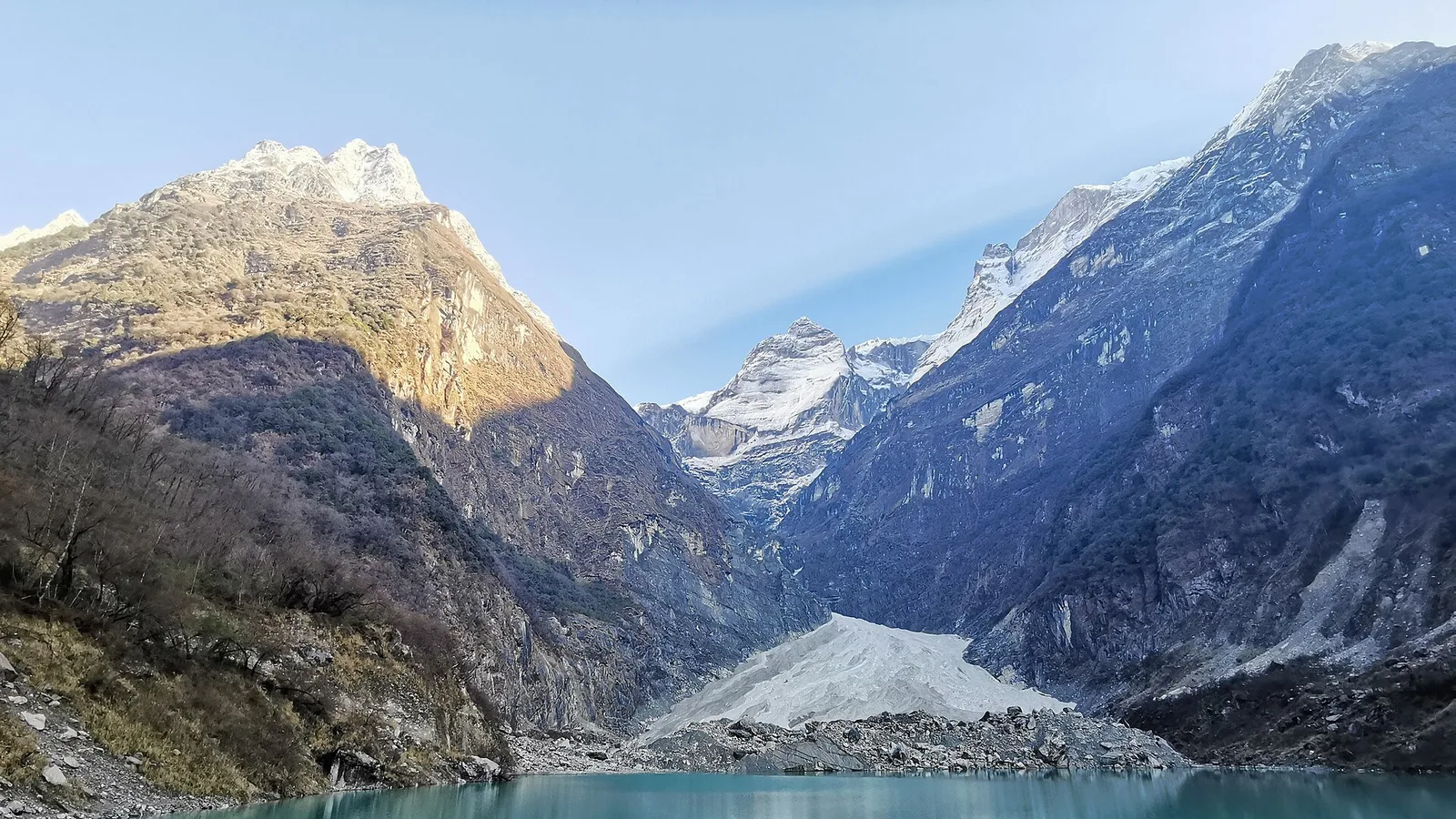
No — Kapuche Lake and Sikles sit in the Annapurna region east of Pokhara, on a different river system from the Rasuwa flood, and the route is running normally. Here is the honest status and the late-monsoon road note.
Safety & Advisories
Is the Khopra Danda Trek Affected by the 2026 Nepal Floods?
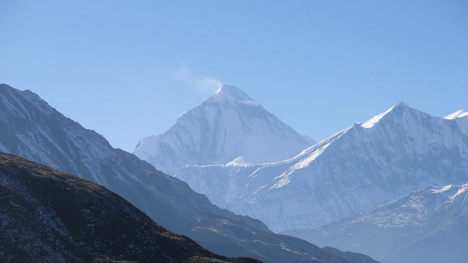
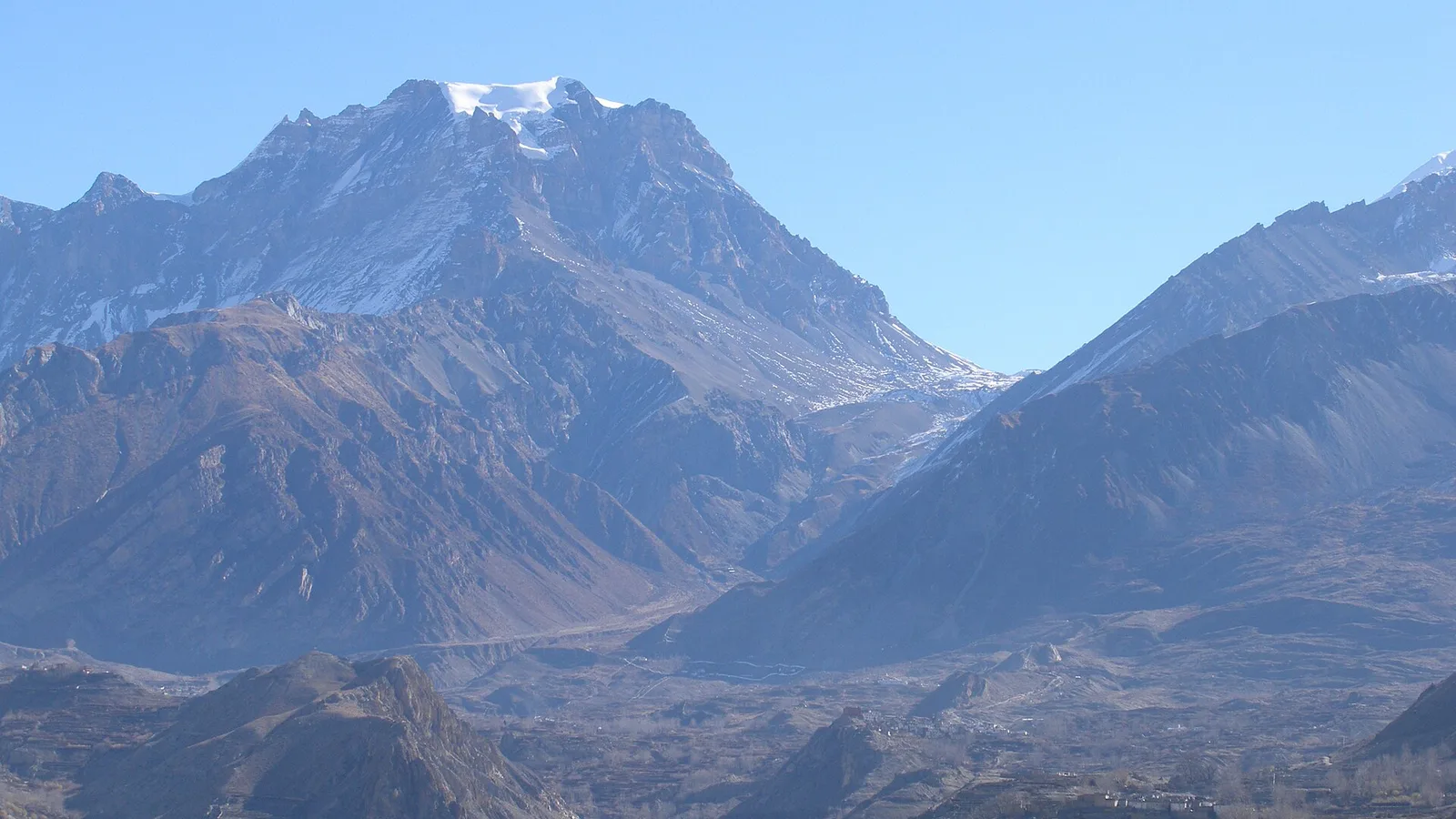
Short answer: no. The Khopra Danda (Khopra Ridge) trek sits in the Annapurna region, reached from Pokhara, and is running normally. The 26 August flood hit the Rasuwa / Langtang corridor about 200 km east — a completely different river system.
Safety & Advisories
Is the Annapurna Circuit Trek Affected by the 2026 Nepal Floods?
Short answer: the Circuit trail itself was not hit — it runs the Marsyangdi and Kali Gandaki on the far western side of the country, a different river system from the Rasuwa flood. The one real catch is the drive in: confirm the Prithvi Highway to Besisahar, or fly to Pokhara.
Latest from the desk
Trail & Weather
Nepal trekking news that actually changes your trip, updated for autumn 2026
The permit rules, fines, airfares, flight routes and road closures that changed for Nepal trekkers in 2026 — what to act on for an autumn booking, and what to ignore.

Gear & Tech
Portable Wi-Fi and Travel Routers in 2026: Do You Actually Need One?
A pocket Wi-Fi box, a travel router, a phone hotspot, an eSIM or a local SIM — an honest buyer’s guide to what each does, when a device is worth it, and why none of them help where there’s no signal.
Records & People
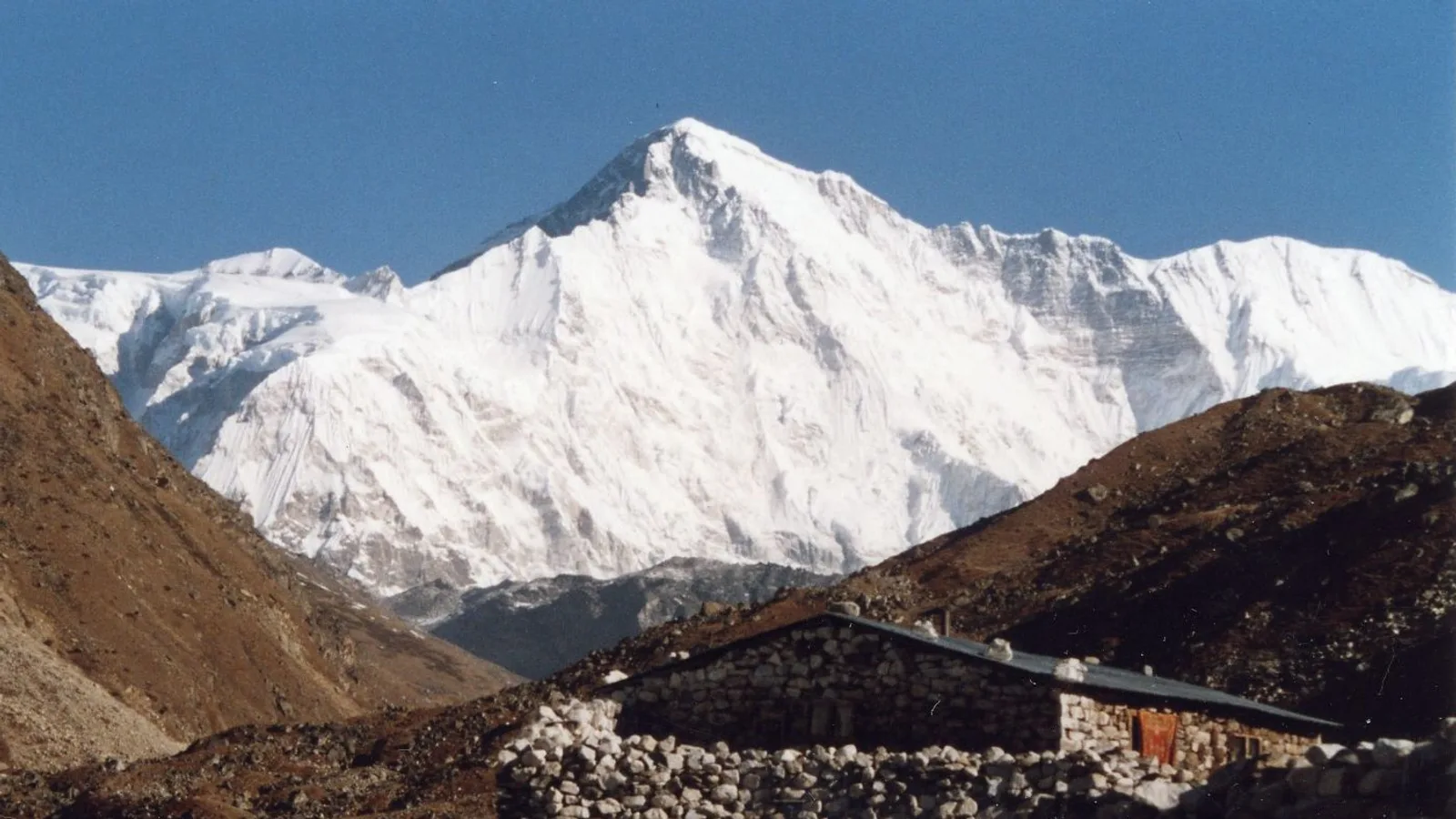
Cho Oyu and Shishapangma are closed again this autumn and every 14-peak climber is funnelled into Nepal
The China-Tibet Mountaineering Association has kept Cho Oyu and Shishapangma shut to foreign teams for autumn 2026, and Manaslu absorbs the whole overflow.