
Breaking · Flights & Access
The Kathmandu to Pokhara highway is cut at Krishnabhir and it could be shut for a month
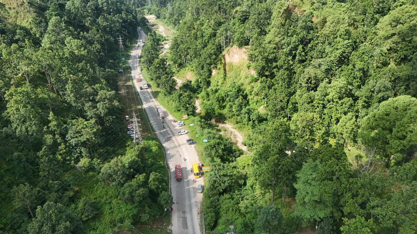
The Prithvi Highway collapsed at Krishnabhir in Dhading on 30 August and the Kathmandu–Muglin road is shut both ways. Police estimate a month to reopen.
At a glance
- Published
- TopicFlights & Access
- Verified againstOnlineKhabar English
- Treks coveredAnnapurna Base Camp Trek — 9 Days, Ghorepani Poon Hill Trek — 5 Days
A roughly 20-metre section of the Prithvi Highway collapsed at Krishnabhir in Dhading district on Saturday 30 August, closing the Kathmandu–Muglin road in both directions. Deputy Superintendent of Police Prakash Dahal of the Dhading District Police, who inspected the site, said restoring traffic could take at least a month.
This is the second corridor the same flood wave has taken out. The first was the border road itself — see what happened at the Rasuwagadhi–Kerung crossing to Tibet.
Key facts
- Where: Krishnabhir, Benighat Rorang Rural Municipality, Dhading — on the Kathmandu–Muglin section of the Prithvi Highway
- When: Saturday 30 August 2026, morning
- Status: closed both directions; the Kathmandu Valley Traffic Office is holding highway-bound vehicles inside the valley
- Police estimate: at least one month to restore traffic
- Cause: the Trishuli, swollen by the 26 August Bhote Koshi flood wave, eroded the base of the road
- Detour: two Gorkha back-road routes, both rejoining the highway at Benighat
Muglin is the junction where the road out of Kathmandu splits, west to Pokhara and south to Narayangadh and Chitwan. Because Krishnabhir sits above that junction, every road route from Kathmandu to Pokhara, Chitwan, Lumbini and the Annapurna road-heads is cut at the same place.
The Kathmandu Valley Traffic Office stopped highway-bound vehicles inside the valley on Saturday and instructed operators at the New Bus Park to keep scheduled services parked until conditions improve, according to The Himalayan Times. Travellers were told to confirm before starting a journey rather than turn up at the terminal.
The city at the far end of the closed road was not itself touched by the flood. If you are weighing up whether to keep an Annapurna trip, see whether Pokhara is safe from the floods.
What actually gave way
The road did not slide off the hill. It sank. More than half the carriageway subsided and cracked along a stretch of about 20 metres, The Tourism Times reported on 30 August. The highway runs along a slope roughly 60 metres high above the Trishuli, and the flood wave that came down the Bhote Koshi on 26 August raised the river far enough to scour the toe of that slope.
The Department of Roads has sent an expert team to the site. Engineers cannot fully assess the erosion until the river drops, and only then will they decide whether one lane, both, or neither can carry traffic while permanent works run. That sequencing is why the one-month figure is a police estimate rather than an engineering schedule.
Krishnabhir has failed before. A major landslide hit the same stretch in 1999, and the road was repaired there again last year after subsidence was noticed. This is a known weak point on the corridor that carries around 14,000 vehicles a day.
The detour runs through Gorkha
Two alternative routes have been identified, both looping through Gorkha district and rejoining the highway at Benighat. Gorkha Chief District Officer Tulsi Bahadur Shrestha is coordinating with road offices to upgrade the weak points on them while the main highway is shut. These are narrow rural roads, not a highway, and OnlineKhabar reported on 31 August that traffic on the flood-zone alternatives elsewhere was already being slowed by mud and congestion.
| Route | Status | What to do |
|---|---|---|
| Prithvi Highway, Kathmandu to Muglin | Closed both ways | Do not plan around it reopening this week |
| Gorkha detour A — Gorkha, Bunkot, Namjung, Ghairung, Durbung, Siurenitar, Benighat, Kathmandu | Open, being upgraded | Slow; add several hours |
| Gorkha detour B — Gorkha, Namjung, Bunkotghat, Benighat, Kathmandu | Open, being upgraded | Slow; add several hours |
| Kathmandu to Pokhara by air | Operating | The dependable option while this lasts |
| Kathmandu to Lukla via Manthali | Unaffected | Everest itineraries never touch this road |
What this means for your trek
If your trek starts in Pokhara, fly. The scheduled Kathmandu to Pokhara flight was always the faster option and it is now the dependable one; an Annapurna Base Camp trek or a Poon Hill itinerary loses nothing except the drive. If your trek starts from an Annapurna road-head reached through Muglin, the same applies: get to Pokhara by air, then travel locally from there.
Booked on a Chitwan extension? Ask whoever is running it how they are moving you before you leave Kathmandu, and expect a longer day. Everest trekkers are not affected at all, because the Manthali and Lukla routing does not use this highway. Manaslu and Ganesh Himal approaches through Dhading and Gorkha do share this corridor, so put a buffer day in if you are heading that way in September.
There is no second road
The obvious alternative does not exist. The BP Highway, the usual relief route between Kathmandu and the west, has been out of service since September 2024. That is why a single collapse at Krishnabhir closes the corridor rather than diverting it, and why the Gorkha detours below matter more than they normally would.
What this means for you
Do not cancel an Annapurna trek over this. Fly Kathmandu to Pokhara and the road closure stops being your problem. What you should change is any plan built on a long overland day in the first week of September — the detours are rural roads carrying highway traffic, and an itinerary with no spare day in it will not survive them.
Frequently asked questions
Is the Kathmandu to Pokhara road open right now?
No. The Prithvi Highway is closed in both directions at Krishnabhir in Dhading as of 31 August 2026. Traffic is being routed through Gorkha on two rural detours.
How long will the Prithvi Highway be closed?
Dhading police estimate at least a month. The Department of Roads has not published a schedule, and engineers cannot set one until the Trishuli falls far enough for them to assess the erosion.
Can I still fly Kathmandu to Pokhara?
Yes. Domestic flights between Kathmandu and Pokhara are operating and are unaffected by the road closure.
Does this affect the Everest Base Camp trek?
No. Everest Base Camp itineraries fly from Kathmandu or Manthali to Lukla and do not use the Prithvi Highway. Our autumn 2026 Lukla flight guide explains that routing.
Is the rest of Nepal open?
Most of it, with real exceptions. Nepal’s Ministry of Foreign Affairs said on 29 August that the country remains open to travellers and that areas outside the flood zone are functioning normally. Rasuwa and Langtang are a different matter — see our Langtang access update.
Sources: OnlineKhabar English (30 and 31 August 2026), The Himalayan Times (30 August 2026), The Tourism Times (30 August 2026). Flood context from Nepal’s National Disaster Risk Reduction and Management Authority and the Ministry of Foreign Affairs.
Planning an autumn Annapurna trek and unsure how this changes your first two days? Message us on WhatsApp or send us your dates and we will tell you honestly whether to fly or drive. Our 5-day Ghorepani Poon Hill trek and 9-day Annapurna Base Camp trek both start in Pokhara and are running normally.
Cover photo: BD Shrestha via Pexels (Pexels License).
Still running this season
Annapurna Base Camp Trek — 9 Days is running normally
NMA-certified local guides, transparent pricing, 5,000+ treks since 1998. Message us your dates and we'll sort the permits, lodges and logistics — reply within 24 hours, no obligation.


Popular Nepal treks
All treks →


Related coverage
Safety & Advisories
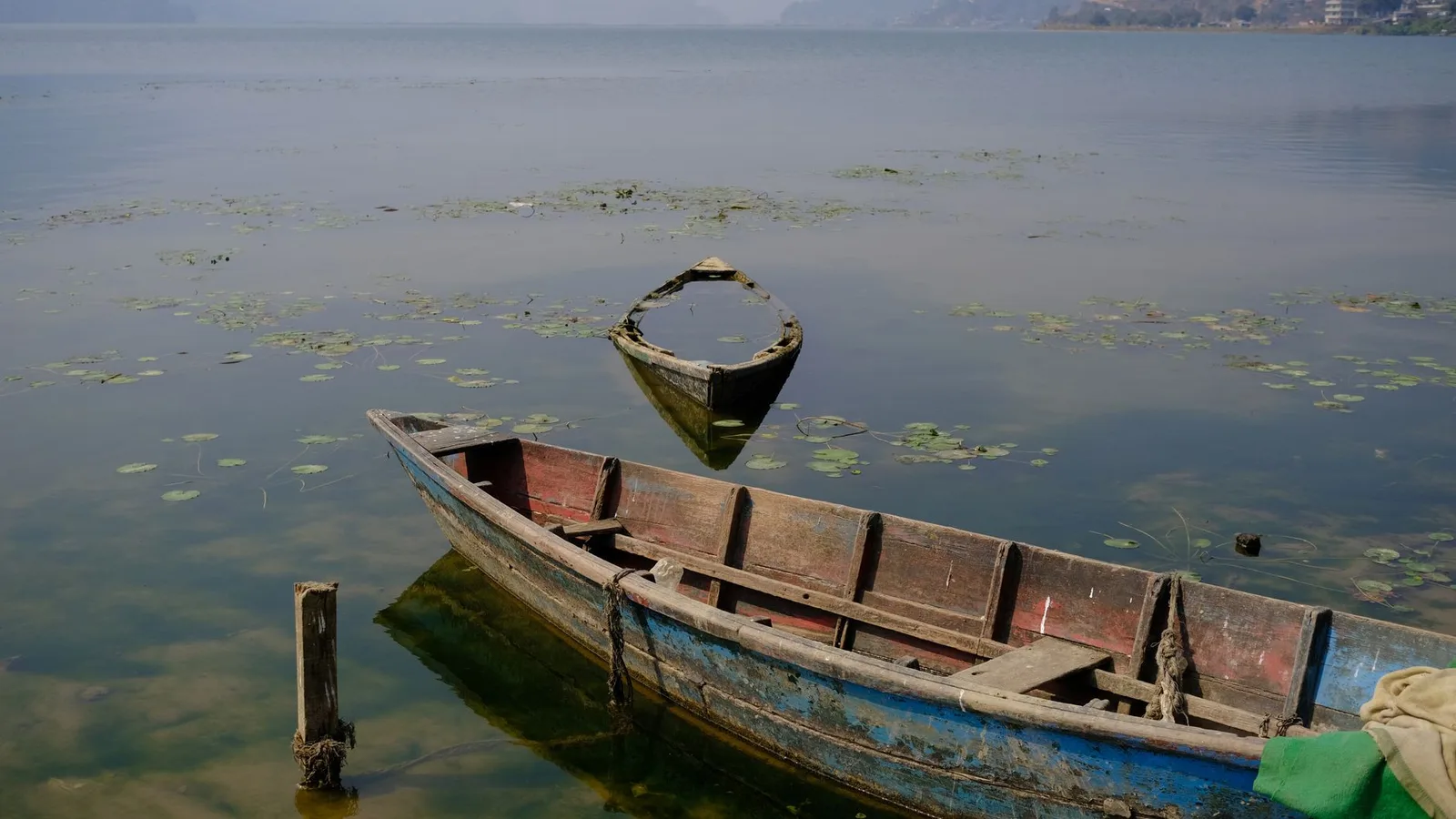
Is Pokhara safe from the floods? Yes, but getting there from Kathmandu is the real problem
Pokhara and Kaski district were not hit by the 26 August 2026 flood, which came down a different river system about 150 km east. The road in from Kathmandu is the part that is broken.
Safety & Advisories
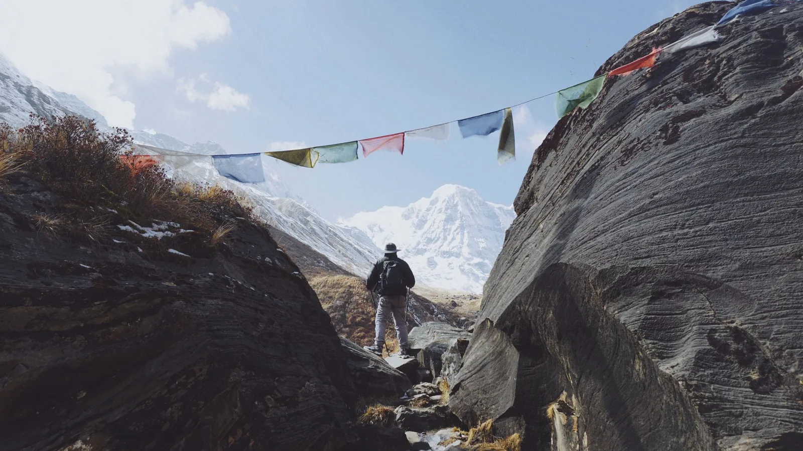
Nepal Trekking Conditions Right Now: Region-by-Region Status After the 2026 Floods
Which trails are open, which access roads are cut, and what autumn 2026 actually looks like — updated through the season by a team based in Pokhara.
Flights & Access
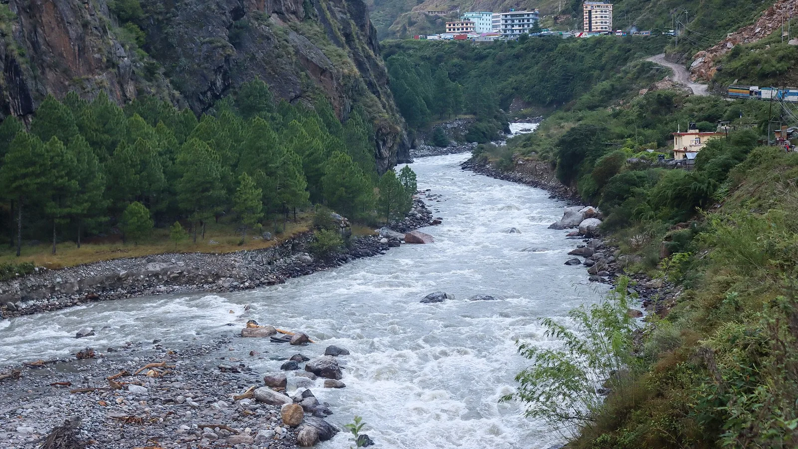
Is the Kerung border open? What the 2026 flood did to Rasuwagadhi and Nepal's only road to Tibet
The Rasuwagadhi–Kerung border with Tibet has been shut since the 26 August 2026 flood destroyed the Timure customs area, the Miteri bridge and the border road. No reopening date has been set.
Records & People
The Himalayan Peak So Sacred Nepal Has Never Once Let Anyone Legally Climb It
Machapuchare's twin summit rises 6,993 metres above Pokhara — and for more than sixty years, Nepal has refused every application to stand on top of it.
Latest from the desk
Trail & Weather
Nepal trekking news that actually changes your trip, updated for autumn 2026
The permit rules, fines, airfares, flight routes and road closures that changed for Nepal trekkers in 2026 — what to act on for an autumn booking, and what to ignore.
Gear & Tech
Portable Wi-Fi and Travel Routers in 2026: Do You Actually Need One?
A pocket Wi-Fi box, a travel router, a phone hotspot, an eSIM or a local SIM — an honest buyer’s guide to what each does, when a device is worth it, and why none of them help where there’s no signal.
Records & People
Cho Oyu and Shishapangma are closed again this autumn and every 14-peak climber is funnelled into Nepal
The China-Tibet Mountaineering Association has kept Cho Oyu and Shishapangma shut to foreign teams for autumn 2026, and Manaslu absorbs the whole overflow.