
Nepal's Main Tibet Crossing Is Down: Rasuwagadhi, Kerung and the Flood's Border Impact (2026)
Nepal's main overland link to Tibet is down again after the 26 August flood wrecked the Rasuwagadhi–Kerung border and Timure customs area — halting cross-border trade and this year's overland Kailash route.
At a glance
- Published
- TopicFlights & Access
- ReportingOriginal, by our guides in Pokhara
- Treks coveredLangtang & Gosaikunda Trek — 13 Days, Langtang Valley Trek — 7 Days
Key facts — the border angle (as reported 26 August 2026; figures provisional)
- The crossing: Rasuwagadhi (Nepal) to Gyirong / Kerung Port (Tibet) — Nepal's main overland trade link with China.
- What happened: the 26 August flash flood down the Bhote Koshi and Lhende Khola tore through the Timure border and customs area, damaging the road and the border bridge.
- Trade: the customs yard, vehicles and bridges at the frontier were swept away or damaged, halting cross-border cargo movement.
- Overland Tibet travel: the road-and-bridge damage cuts the overland Kailash / Tibet route that runs through Rasuwagadhi and Kerung.
- Not the first time: the same corridor was closed for about six months after a July 2025 flood destroyed the "Miteri" Friendship bridge.
- Alternative to Tibet: flying Kathmandu–Lhasa remains an option for reaching Kailash while the overland route is down.
Nepal's single most important overland link to Tibet has been knocked out again. When the flash flood came down the Bhote Koshi from Tibet on the morning of 26 August 2026 — the disaster we covered in our report on what happened in Rasuwa — it did more than wreck villages and hydropower plants. It struck the Rasuwagadhi–Timure frontier: the customs yard, the parked cargo trucks and the bridge that together make up Nepal's busiest gateway to China. This piece looks at what that crossing is, why it matters far beyond Rasuwa, and what the damage means for trade and for anyone planning to travel overland into Tibet.
What Rasuwagadhi–Kerung is, and why it matters
The Rasuwagadhi border sits at the head of the Bhote Koshi gorge in Rasuwa district, facing the Chinese port of Gyirong — known in Nepal as Kerung — across the frontier. The crossing opened in December 2014, and its importance jumped sharply just months later. When the April 2015 earthquake damaged the old Kodari Highway and the Tatopani crossing further east, Rasuwagadhi–Kerung became Nepal's primary point of bilateral trade with China, as reported by the Kathmandu Post, which noted the point was later upgraded to an international crossing.
Tatopani, on the Araniko Highway, was for decades the classic trans-Himalayan trade route and the road every overland traveller once used to reach Lhasa. It was badly damaged in 2015 and lay effectively shut for years; even after limited resumption, it has never recovered its former role. That left Rasuwagadhi carrying the bulk of the goods — garments, electronics, vehicles and daily consumer imports — that arrive in Kathmandu by road from China. When this crossing stops, it is felt in Kathmandu's markets, not just at the frontier.
| Crossing | Route | Role & status |
|---|---|---|
| Rasuwagadhi – Kerung (Gyirong) | Pasang Lhamu Highway via Syabrubesi / Timure | Main current overland trade link since 2015; the overland route for Tibet & Kailash tours. Damaged by the 26 August 2026 flood. |
| Tatopani – Zhangmu (Kodari) | Araniko Highway via Kodari | The historic route; heavily damaged in the 2015 earthquake and never fully restored to its former capacity. |
The flood hit the trade artery itself
What makes this event different from an ordinary landslide is where the water went. The flood surged down the Lhende Khola and Bhote Koshi straight into Timure, the settlement on the Nepali side of the border where the customs infrastructure sits. Fiscal Nepal reported the flood devastated the customs hub, with the customs yard, bridges and more than 500 vehicles feared swept away — cargo trucks and containers that had been parked at or near the crossing. With the approach road broken and the border bridge damaged, the crossing cannot carry vehicles.
That is the crucial point for trade: it is not only that a bridge is down, but that the yard where goods are cleared and the trucks waiting to move them were in the flood's path. Rebuilding the road and a bridge is one job; restoring a working customs operation on a scoured riverbank is another.
This corridor has now flooded twice in about fourteen months
In July 2025, a flood in the Lhende / Bhote Koshi destroyed the "Miteri" Friendship bridge and shut the crossing for roughly six months. As the Kathmandu Post reported, the border only reopened in late December 2025 after a 91-metre Bailey bridge was installed with Chinese support — and even then, initially only to local residents rather than traders. The August 2026 flood has now damaged the route again. Climate scientists at ICIMOD have warned that sudden flood events of this kind are increasing at an "unprecedented" pace in the Hindu Kush Himalaya.
What the closure means for trade
With Rasuwagadhi down, Nepal loses its principal overland channel for Chinese imports at exactly the wrong time of year: the run-up to the autumn festival season, when demand for vehicles, garments and consumer goods peaks. When the 2025 closure hit, traders reported cargo stranded on the Chinese side and warned of festival-season price pressure, as the Kathmandu Post documented at the time. A repeat closure so soon after the last one compounds the disruption for importers who had only just resumed normal shipments.
We are not putting a figure on the trade loss — on 26 August it is simply too early, and any number would be a guess. What can be said is qualitative: Nepal's main road link to China is closed, Tatopani cannot absorb the volume, and goods that normally arrive within a few weeks by this northern route will be delayed or rerouted.
What it means for overland Tibet and Kailash travel
Rasuwagadhi–Kerung is not only a trade route — it is the road every overland Tibet trip and every overland Mount Kailash pilgrimage from Nepal now takes. The classic journey runs from Kathmandu up the Pasang Lhamu Highway to Syabrubesi and Rasuwagadhi (a drive of several hours), crosses into Tibet at Kerung, and then continues by vehicle across the plateau toward Lake Manasarovar and Mount Kailash. That is a long road trip on a fragile mountain highway, and the section that was just destroyed is its very first leg.
The overland Kailash season runs roughly May to September, so the timing is unforgiving: the damage lands in the last weeks of the 2026 overland window. With the border road and bridge broken, travellers should assume the overland Kailash and Tibet route via Kerung is not usable for the remainder of this season, and should confirm status directly with their operator and the relevant authorities before committing to any date.
For anyone with a Kailash or Tibet trip in the diary, the realistic picture is this: the overland route needs a rebuilt road, a new or repaired bridge and a functioning customs post before it carries travellers again — and after two floods in fourteen months, no one should treat a reopening date as certain. The practical alternative is to reach Tibet by air, flying Kathmandu–Lhasa and joining the Kailash circuit from there, which avoids the damaged border road entirely. Permits and logistics differ from the overland version, so this is a re-plan, not a simple substitution.
The bottom line
The 26 August flood was a human tragedy first, and our main event report and our Langtang trek-access update cover the toll and the trekking picture. But the same water also severed Nepal's busiest overland tie to China. For traders, that means delayed cargo and festival-season strain. For travellers, it means the overland door to Tibet and Kailash is shut for now — and the sensible move is to talk to your operator early about flying in, or shifting your dates, rather than assuming the road will be back.
If you are re-planning a Tibet or Kailash trip, or looking at Langtang once access is restored, our team is happy to help you work through the options — see our Langtang region guide and get in touch before you lock in travel.
Sources and further reading: CNN live coverage; Wikipedia: 2026 Nepal floods; Kathmandu Post on the crossing; Kathmandu Post on the 2025 reopening; Fiscal Nepal on the customs-hub damage. Figures are provisional and were being revised as this article was published.
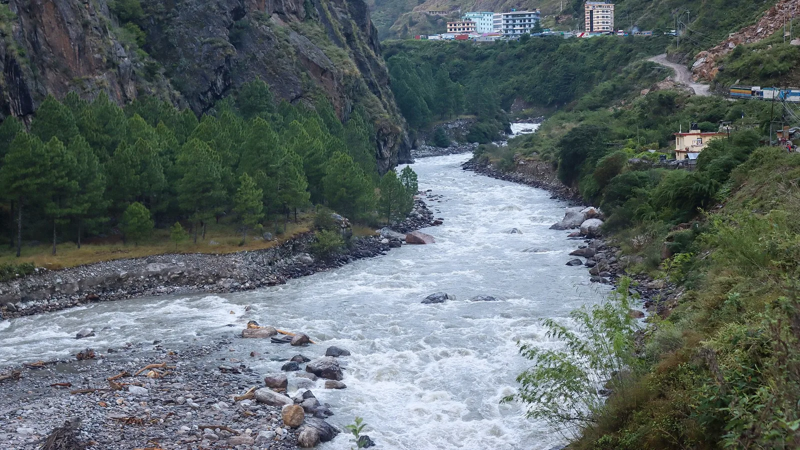
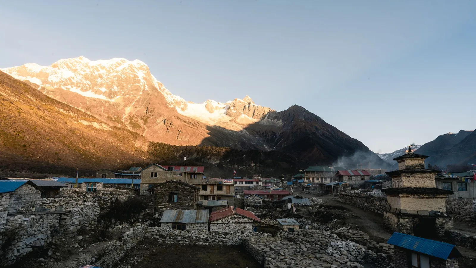
File photo: Rasuwa district in Nepal’s northern borderland, home to the Rasuwagadhi–Kerung crossing to Tibet. This is context imagery, not a picture of the 26 August 2026 flood. Photo by YubarajKhatri1 via Wikimedia Commons (CC BY-SA 4.0).
Planning a trek?
Trek this route with us — Langtang & Gosaikunda Trek — 13 Days
NMA-certified local guides, transparent pricing, 5,000+ treks since 1998. Message us your dates and we'll sort the permits, lodges and logistics — reply within 24 hours, no obligation.


Popular Nepal treks
All treks →


Related coverage
Safety & Advisories
The Rasuwa Flood and Your Nepal Trek: Langtang Access, Safety and Autumn 2026
Everest and Annapurna are unaffected; only Langtang’s gateway and the overland Tibet route are disrupted by the 26 August Rasuwa flood — here is what it means for your trip.
Breaking · Safety & Advisories
Massive Flash Flood on the Nepal-Tibet Border Leaves Hundreds of Tourists Missing
A wall of water tore through Rasuwa's Bhote Koshi valley on August 26, killing at least nine and leaving 384 travellers — including three Americans — unaccounted for near the Langtang trekking region.
Breaking · Safety & Advisories
Bhote Koshi Flash Flood, 26 August 2026: What Happened in Nepal’s Rasuwa District
At least 95 people are confirmed dead after a flash flood surged from Tibet down the Bhote Koshi into Nepal’s Rasuwa district on 26 August 2026, with hundreds initially reported missing and being accounted for.
Climate & Environment
Nepal's Glacial-Flood Warning Gap: Why GLOFs Keep Catching the Mountains Off Guard (2026)
Nepal's flood alarms watch its own known lakes — but the Bhote Koshi's disasters keep starting across the border in Tibet, beyond every sensor, arriving with minutes of warning at best.
Latest from the desk
Money & Insurance
Adventure & Activity Travel Insurance in 2026: Why Standard Cover Excludes Rafting, Diving, Skydiving and High Trekking
Scuba, bungee, skydiving, quad bikes, jet skis, rafting, safari, motorbiking and trekking above a certain altitude are the activities standard travel insurance quietly leaves out. Here is how activity tiers and add-ons work, why an undeclared activity can void the whole claim, and how to match cover to your trip.
Climate & Environment
Soot Is Darkening Himalayan Snow and Speeding Its Melt, 2026 Science Shows
Soot darkens Himalayan snow so it absorbs more sunlight and melts faster — a second, faster-acting driver of glacier loss alongside warming, and the one the region could switch off within weeks.

Visas & Entry
Taking a Pet Abroad in 2026: The Rules Most Owners Underestimate
Microchip, rabies vaccination and a waiting period, a health certificate or pet passport, tapeworm treatment and even quarantine — a plain-English guide to taking a pet abroad in 2026, and why it has to start months before you fly.