
Live · updates every 2 minutes
Is there a tsunami warning right now?
No tsunami warnings, advisories or watches are in effect
Checked against the US, Japanese and Indonesian warning centres.
Checked
- 3/3warning systems reporting
- 18quakes M5+ in 24 h
- M7.7largest: Pitaloza Arriba, Panama
Warning centres, country by country
United States & Pacific
No warning, advisory or watch
Latest: Information statement, Panama
Japan
No warning or advisory
Latest: Forecast: slight sea-level change, Central America (JMA M8.0)
Indonesia
No tsunami potential reported
Latest M5+: M5.1, 125 km SE of Bitung, North Sulawesi, Indonesia
Earthquakes in the past 24 hours
Magnitude 5 and above
- 7.7USGS
12 km WSW of Pitaloza Arriba, Panama
- 6.6USGS
14 km W of Río Grande, Panama
- 5.9USGS
west of Macquarie Island
- 5.8USGS
1 km S of El Cacao, Panama
- 5.5USGS
3 km SW of Bajo Corral, Panama
- 5.4USGS
9 km SSE of Los Asientos, Panama
- 5.4USGS
99 km NE of Norsup, Vanuatu
- 5.2USGS
11 km SE of Río Grande, Panama
- 5.2USGS
117 km SE of Bitung, Indonesia
- 5.1USGS
1 km NNE of Tonosí, Panama
Latest US warning center bulletins
Information Panama, preliminary magnitude 6.9 (Mwp)
There is no tsunami danger for the U.S. West Coast, British Columbia, or Alaska. · Based on earthquake information and historic tsunami records, the earthquake is not expected to generate a tsunami.
Read the full bulletinInformation Panama, preliminary magnitude 6.9 (Mwp)
Read the full bulletin
Warning centers publish a first magnitude within minutes so they can decide fast. USGS refines it over the following hours, so the figures can differ.
What each alert means
- Warning
A dangerous tsunami is expected or happening. Move to high ground or inland now.
- Advisory
Strong currents and waves are expected. Get out of the water and off the beach.
- Watch
A tsunami is possible. Stay alert and be ready to move.
- Information
A quake happened. No threat, or a very distant one. No action needed.
If you are travelling
 LatestA 7.7 Earthquake Just Hit Southern Panama, Here’s What to Do If You’re Travelling There This Week
 LatestHurricane Isaias Is Hitting the Gulf Coast Tonight, Here’s Which Airlines Will Let You Change Your Flight for Free
 LatestFour Airlines Are Waiving Fees for Hurricane Nolo, Here's Exactly What Each One Covers
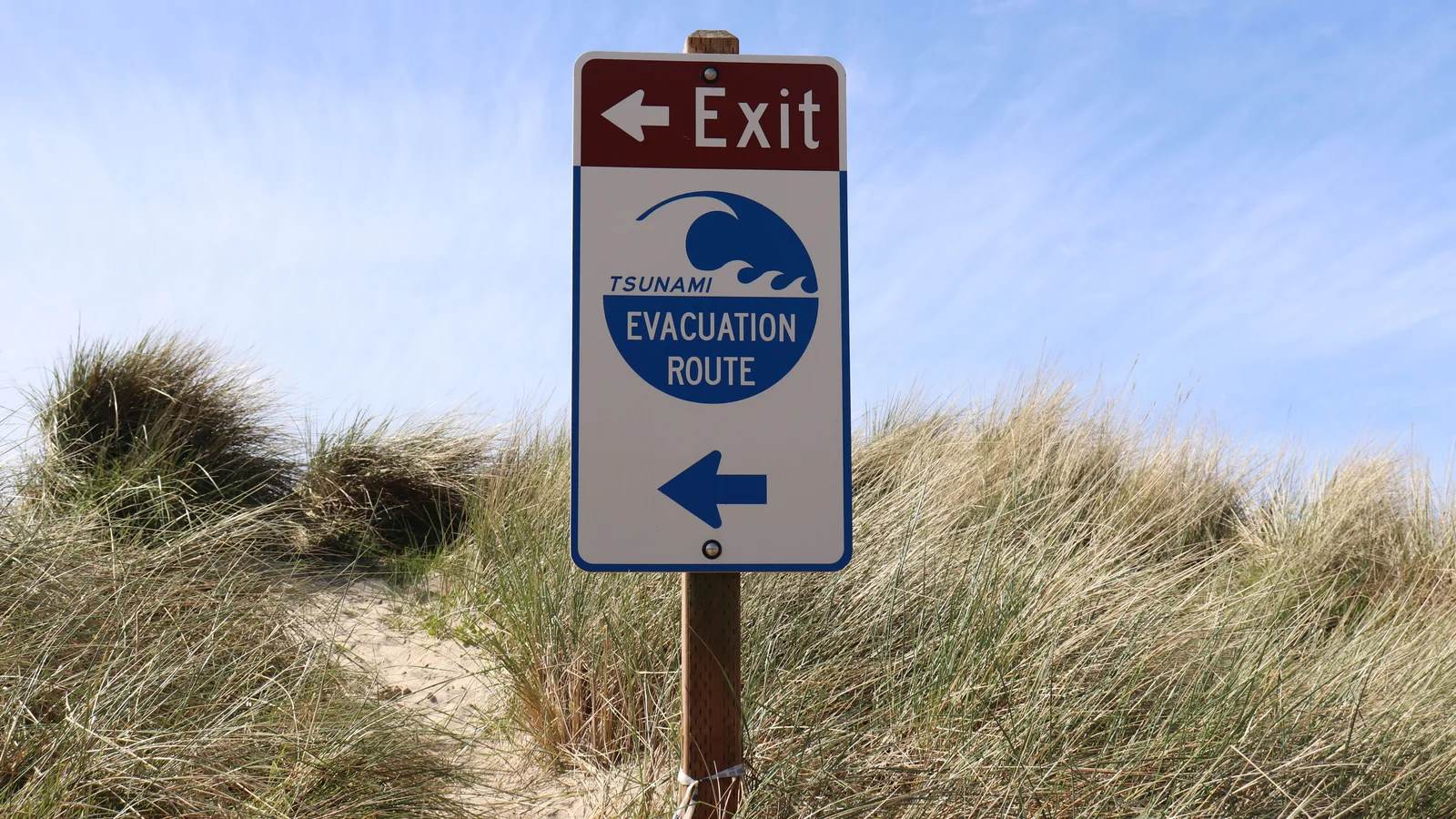 GuideTsunami warning vs advisory vs watch, and when to run
 GuideIf an earthquake hits while you’re travelling, do these things in this order
 GuideDoes travel insurance cover earthquakes? The date you bought it decides
 GuideHurricane watch vs warning, and what it means for your flight
 GuideEvacuation membership vs travel insurance
Questions people ask
Is there a tsunami warning right now?
The status box at the top of this page answers that from the official feeds: US National Weather Service alerts, the Pacific and National Tsunami Warning Centers, the Japan Meteorological Agency and Indonesia’s BMKG. It refreshes every two minutes. If a warning is ever in effect where you are, follow local officials and move to high ground first; do not wait for a web page.
Is there a tsunami warning in Japan today?
The Japan tile shows the latest bulletin from the Japan Meteorological Agency. JMA uses four levels: Major Tsunami Warning, Tsunami Warning, Tsunami Advisory and Tsunami Forecast. A forecast means at most a slight change in sea level, with no damage expected. On the coast in Japan, sirens, NHK and local broadcasts come first.
Is there a tsunami warning in Indonesia today?
The Indonesia tile reads BMKG’s list of recent magnitude 5+ earthquakes, each marked with BMKG’s own tsunami assessment. If BMKG marks a quake as having tsunami potential, the tile turns red. In Bali or Lombok, the word to listen for in local warnings is “siaga” or “awas”: leave the beach and go uphill.
Does a big earthquake always cause a tsunami?
No. Most earthquakes, even large ones, do not create a dangerous tsunami. It depends on where the quake is (under or near the sea), how deep it is and how the sea floor moves. That is why warning centers often issue an information statement after a large quake: it says the quake happened and that no tsunami threat is expected.
Why do the magnitudes differ between agencies?
Each agency estimates magnitude with its own instruments and methods, and the first figure is released within minutes so decisions can be made fast. Figures are revised over the following hours. For the October 2026 Panama earthquake, the US warning centers first said 6.9, Japan said 8.0 and USGS settled on 7.7.
How often is this page updated?
Our server re-reads every official feed at least every two minutes, and an open tab refreshes itself. No person has to update it. The time of the last check is shown under the status box.
Sources, read live by our server: US National Weather Service, tsunami.gov (Pacific and National Tsunami Warning Centers), Japan Meteorological Agency, BMKG Indonesia and USGS. We do not edit or delay what they publish. Other countries, including Australia, New Zealand and Chile, run their own systems. This page is information, not an official warning: if officials or sirens tell you to move, move.