
Is the Rolwaling Valley Trek Affected by the 2026 Nepal Floods?
No — Rolwaling, in Dolakha on the Tama Koshi, is a separate watershed from the flood-hit Rasuwa corridor and is running normally. Here is the honest status, plus the real things to plan around: the road, the Tashi Lapcha and the season.
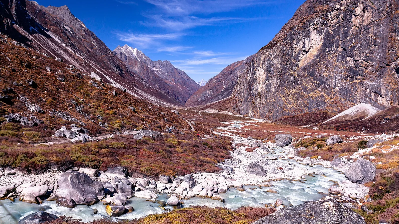
At a glance
- Published
- TopicSafety & Advisories
- ReportingOriginal, by our guides in Pokhara
- Treks coveredAma Dablam Base Camp Trek — 10 Days, Everest View Trek — 7 Days
📍 Developing story — live figures
The 2026 Nepal floods are a developing emergency and the casualty and damage numbers are still moving. For the latest verified death toll, missing and rescued figures, and region-by-region trek status, follow our continuously-updated Nepal Floods 2026: Live Updates — we do not freeze provisional numbers into a page like this one.
Last updated: 29 August 2026. If you are planning the Rolwaling valley trek this autumn, this is the short, honest answer you came for.
Is the Rolwaling Valley trek affected by the 2026 Nepal floods? No — Rolwaling is a different valley, in a different watershed, and is running normally. The flash flood of 26 August 2026 hit Rasuwa district in north-central Nepal: the Bhote Koshi river, the Tibet border at Rasuwagadhi, and the road into the Langtang valley. Rolwaling sits in Dolakha district, east of Kathmandu, drained by the Rolwaling Khola and the Tama Koshi — an entirely separate river system, reached by a completely different road. The Rasuwa flood did not touch it. That said, Rolwaling is genuinely remote and demanding, and the honest things to plan around here are the road, the weather and the altitude — not the flood.
Rolwaling Valley trek — the honest status
- Affected? No. The flood was on the Bhote Koshi in Rasuwa, north-central Nepal. Rolwaling is in Dolakha to the east, on the Tama Koshi — a separate watershed. The two do not connect.
- Access? Open, but long and overland. Rolwaling is reached by road, not by flight: roughly an 8-hour drive east from Kathmandu to Charikot (Dolakha), then on a rough track to Gongar / Simgaon where the walking starts. That road does not pass through Rasuwa. As anywhere in Nepal at the tail of the monsoon, mountain roads can be slowed by landslides, so we keep the schedule flexible.
- Best season? October–November. Clear post-monsoon skies and stable snow are what you want, especially if you are crossing the Tashi Lapcha. Spring (April–May) is the other window.
Where Rolwaling actually is
Nepal is not one small place where a single flood reaches everything. Its trekking regions are divided by great ranges and drained by rivers that do not meet until far down in the plains. The 26 August flood surged down the Bhote Koshi in Rasuwa, which flows out of Tibet and on into the Trishuli, north of Kathmandu. Rolwaling lies to the east, in Dolakha, drained by the Rolwaling Khola into the Tama Koshi — part of the great Koshi system of eastern Nepal. Different river, different road, different district. What happened in Rasuwa has no bearing on the Rolwaling trail.
Rolwaling is one of the wildest, least-trekked valleys in Nepal — a steep, sacred glen tucked between Gaurishankar (7,134 m) and the Khumbu, protected within the Gaurishankar Conservation Area. Its centrepiece is Tsho Rolpa, one of the country's largest and most closely-watched glacial lakes, above the Sherpa village of Beding. Many trekkers link Rolwaling to the Everest region over the Tashi Lapcha pass (about 5,755 m) — a serious, glaciated crossing that finishes near Thame and Namche in the Khumbu. It is remote, committing country, and that, not the flood, is what shapes the trip.
The worst-hit places in the flood were Timure and Syabrubesi in Rasuwa, with damage downstream at Betrawati and Trishuli. Syabrubesi is the road-head for Langtang treks — on the opposite, northern side of Kathmandu from the Dolakha road to Rolwaling. No part of the Rolwaling journey passes through Rasuwa or uses that road.
The Rolwaling trek, leg by leg
The clearest way to see why Rolwaling is unaffected is to walk through it and check each stage against the flood zone — and to be honest about which stages are demanding for reasons of their own.
| Region / stage | Status | What to do |
|---|---|---|
| Kathmandu (arrival, permits, briefing) | Normal | Nothing — unaffected central hub |
| Drive Kathmandu → Charikot → Gongar (Dolakha) | Open, road not flood-hit | Allow a flexible day for monsoon-tail landslides on any Nepal road |
| Simgaon, Beding & the Rolwaling Khola valley | Trail open, lodges/homestays basic | Trek as planned; expect simple, remote facilities |
| Tsho Rolpa glacial lake (~4,580 m) | Open, lake normal | Acclimatise properly; a monitored glacial lake, not a flood site |
| Tashi Lapcha pass (~5,755 m) into the Khumbu | Open, mountaineering-grade | Only with rope, crampons and a proper guided team — weather-dependent |
| Rasuwa / Bhote Koshi corridor | Flood-hit | Not on this route — different district and river entirely |
Rolwaling needs the Gaurishankar Conservation Area permit and a TIMS card; a Tashi Lapcha crossing into the Khumbu also brings in the Sagarmatha National Park and Khumbu Pasang Lhamu permits on the far side. None of these is issued in or routed through Rasuwa, so the flood has no bearing on your paperwork.
So what should you actually plan around?
Not the flood — Rolwaling's real demands are its own, and it is only fair to name them. First, remoteness: this is a wilderness route with basic lodges and long days, not a teahouse highway; you need to be a fit, experienced trekker. Second, if you cross the Tashi Lapcha, that is effectively a mountaineering objective — a glaciated 5,755 m pass with rockfall and crevasse risk that must be done with rope, crampons, a strong guided team and the right weather window; it is not a casual walk-over. Third, the road: the long overland approach to Charikot and Gongar can be slowed by landslides at the end of the monsoon, as any Nepal mountain road can, so we keep the schedule flexible. Fourth, altitude and season: October–November is the prime window for clear skies and stable snow. The one itinerary to double-check is if your wider plan routes through Rasuwa — a Langtang trek or an overland Tibet crossing — and we cover exactly which treks are on hold in the tracker below.
A local guide's take — Bishnu Adhikari
I plan the logistics for treks like this, so let me be straight with you. Rolwaling was never anywhere near the flood — it is a different river and a different road, east of Kathmandu, while Rasuwa is north. So the flood is not your question here. Your real questions are fitness, the Tashi Lapcha, and picking the right autumn window — because Rolwaling is one of the most committing treks we run, and it rewards people who take it seriously. My thoughts are with the families in Rasuwa; that valley took a hard hit. If Rolwaling is your goal, talk to us early so we build it properly.
Planning Rolwaling? Talk to us — it's a tailor-made trip
We run Rolwaling as a private, custom expedition rather than a fixed-date package, because the pass and the remoteness need a team built around you. Message us on WhatsApp or use our contact page and we will scope the route, the Tashi Lapcha option and the dates honestly. If you would rather start with an off-the-shelf Everest-region trek on the same unaffected side of the country, our Everest View Trek — 7 days and Ama Dablam Base Camp Trek — 10 days are running normally this autumn.
The honest bottom line
Rolwaling this autumn: unaffected by the flood, demanding on its own terms
Rolwaling is nowhere near the Rasuwa flood zone and is open for the October–November season. Because we build it as a tailor-made trip, there is no fixed price to quote here — it depends on your team size, whether you cross the Tashi Lapcha, and your dates. Two straightforward, published Everest-region alternatives on the same unaffected trails:
- Everest View Trek — 7 days · from US$750 per person in a group (US$1,020 solo). The short, high-view Khumbu trek, no high pass.
- Ama Dablam Base Camp Trek — 10 days · from US$980 per person in a group (US$1,400 solo). A quieter branch off the EBC trail.
Related reading
- Nepal trekking conditions right now: region-by-region status after the 2026 floods
- Is the Everest Base Camp trek affected by the 2026 floods?
- Bhote Koshi flash flood, 26 August 2026: what happened in Rasuwa district
- Nepal Floods 2026: live updates, death toll and trek status
Sources: Rolwaling route and access (Charikot / Gongar approach, Tama Koshi watershed, Tashi Lapcha pass, Gaurishankar Conservation Area) reflect our own on-the-ground knowledge and current Nepal operator itineraries; the flood was confined to the Bhote Koshi in Rasuwa, a separate river and road. Flood figures are held in the live tracker, which we update as authorities confirm them; conditions in the flood zone are still being assessed. Tashi Lapcha is a glaciated, mountaineering-grade pass — attempt it only with a properly equipped guided team.
If you want to help. Nepal’s official relief channel is the government’s Prime Minister’s Disaster Relief Fund — restricted by law to rescue, relief and rehabilitation, audited annually, and it takes international cards directly. We collect nothing and receive nothing. Be careful of account numbers circulating in forwarded messages: disaster fundraising draws scams within days.
Cover photo: Nammy Hang Kirat via Wikimedia Commons (CC BY-SA 4.0).
Still running this season
Ama Dablam Base Camp Trek — 10 Days is running normally
NMA-certified local guides, transparent pricing, 5,000+ treks since 1998. Message us your dates and we'll sort the permits, lodges and logistics — reply within 24 hours, no obligation.


Popular Nepal treks
All treks →


Related coverage
Safety & Advisories
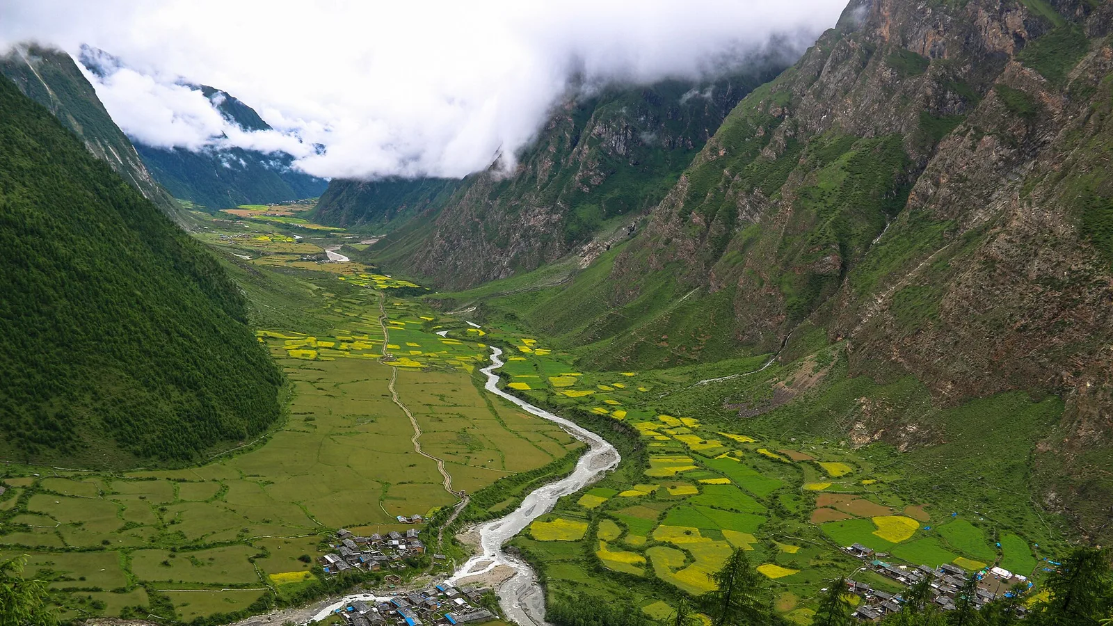
Is the Tsum Valley Trek Affected by the 2026 Nepal Floods?
Short answer: no. Tsum Valley is in the Manaslu region of Gorkha district, on the Budhi Gandaki — a separate valley from the flood-hit Bhote Koshi in Rasuwa. The trail is running normally; the one honest caveat is the monsoon approach road.
Safety & Advisories
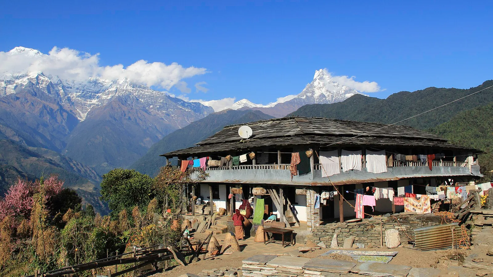
Is the Ghandruk Village Trek Affected by the 2026 Nepal Floods?
No — Ghandruk is a Gurung village in the Annapurna foothills, a short drive from Pokhara on the far side of Nepal from the Rasuwa flood, and it is running normally. Here is the honest status, plus the one late-monsoon road note.
Safety & Advisories
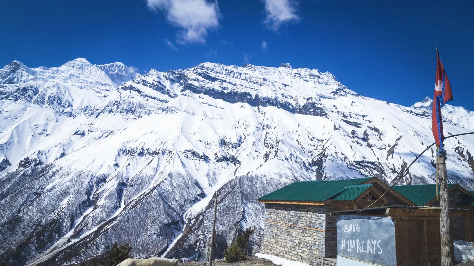
Is the Nar Phu Valley Trek Affected by the 2026 Nepal Floods?
No — Nar Phu is a restricted Annapurna-region valley in Manang, on the Marsyangdi, far from the flood-hit Bhote Koshi in Rasuwa, and it is running normally. Here is why the trail is unaffected, plus the one monsoon road caveat.
Safety & Advisories
Is the Tilicho Lake Trek Affected by the 2026 Nepal Floods?
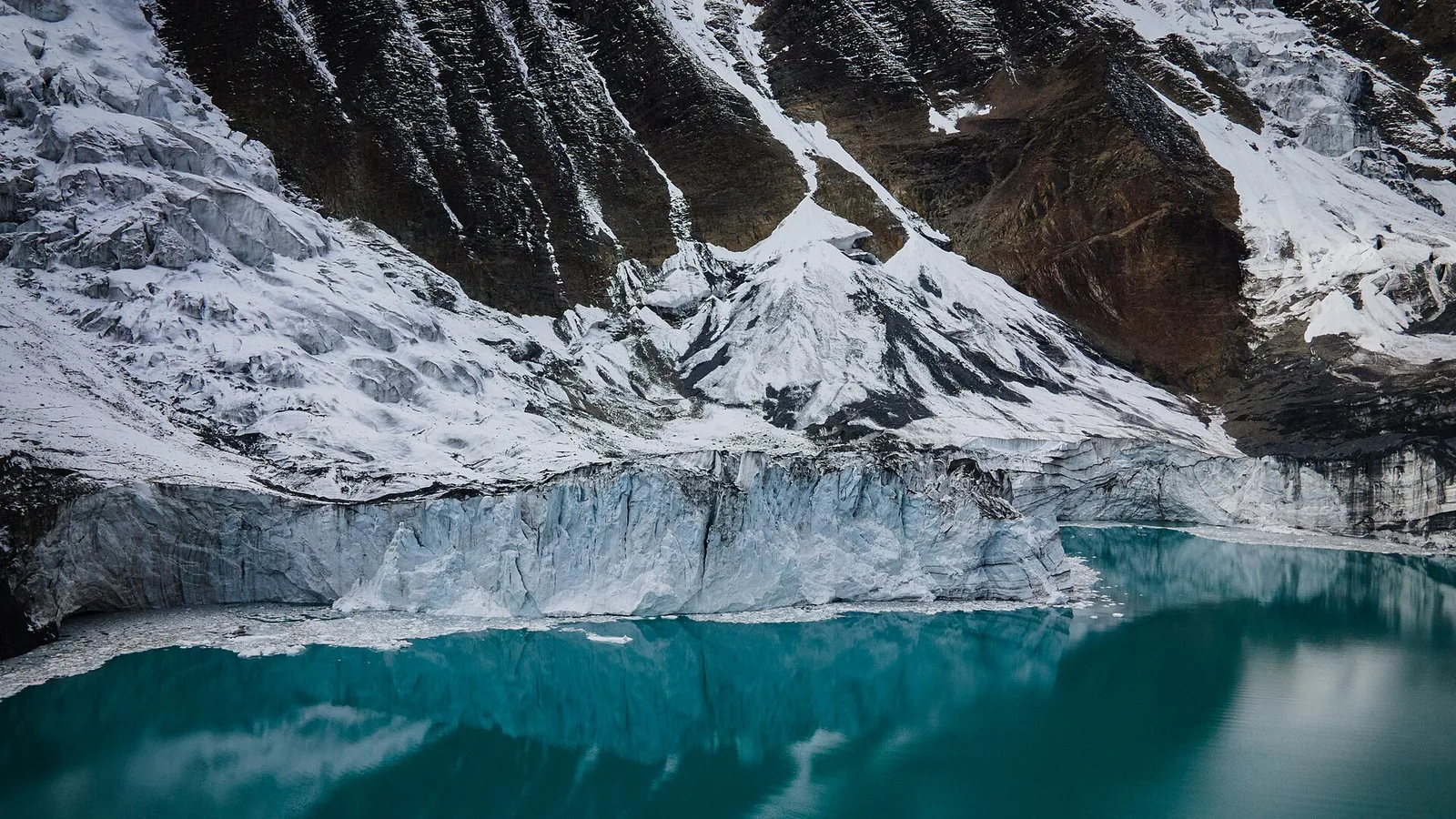
No — Tilicho Lake is an Annapurna-region trek in Manang, on the Marsyangdi, well away from the flood-hit Bhote Koshi in Rasuwa, and it is running normally. Here is why the trail is unaffected, plus the one monsoon road caveat.
Latest from the desk
Safety & Advisories
Is the Ama Dablam Base Camp Trek Affected by the 2026 Nepal Floods?
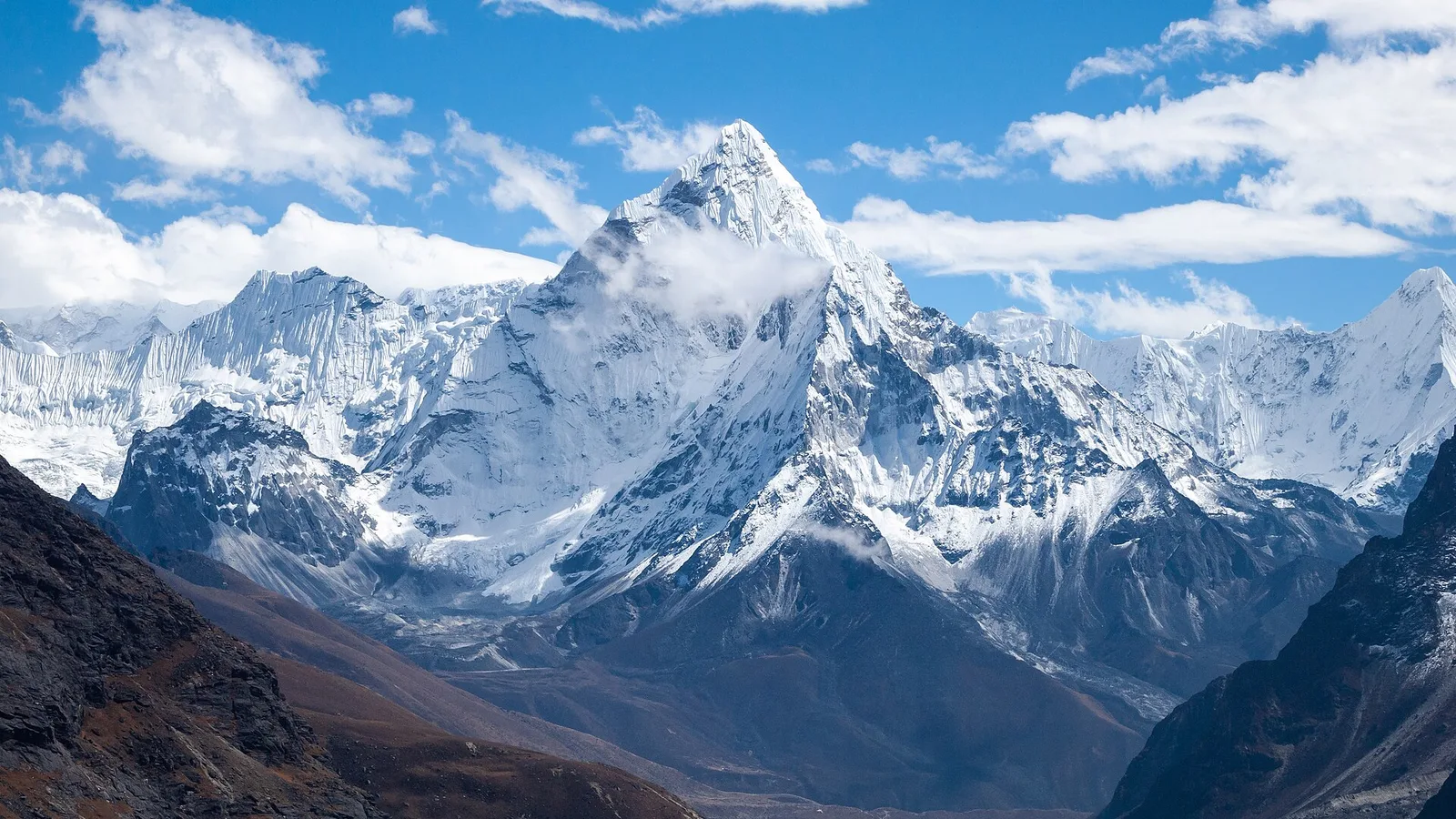
No — the Ama Dablam Base Camp trek in the Khumbu is running normally. The 26 August flood hit Rasuwa in the north, not the Everest region. Here is why Lukla flights and the Pangboche trail are unaffected.
Culture & Heritage
Nepal Culture & Heritage in 2026: Faiths, Peoples, Festivals and Living Traditions
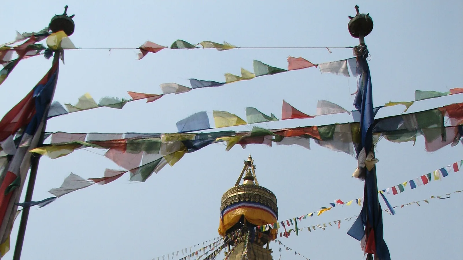
A respectful overview of Nepal's cultural richness — its intertwined faiths, its mosaic of peoples, the UNESCO heritage of the Kathmandu Valley, and the great festivals and living traditions.
Deals & Routes
How to Get a Flight Upgrade in 2026: What Actually Works (and the Myths to Drop)
Free upgrades are rare and the "dress smart and ask nicely" trick mostly does not work. Here are the real levers in 2026 — elite status, points, paid bids, oversold-flight volunteering and booking an upgrade-eligible fare.