
A River Stole Another River 89,000 Years Ago — and It's Still Making Everest Taller Today
Scientists have finally explained why Mount Everest is taller than it should be: an ancient river heist that's still lifting the mountain by up to 2mm a year.
At a glance
- Published
- TopicRecords & People
- Verified againstUniversity College London / Nature Geoscience
- Treks coveredEverest Base Camp Trek — 14 Days, Makalu Base Camp Trek — 18 Days
Mount Everest should not be quite this tall. Erosion wears mountains down faster than tectonic collision alone can build them back up, geologists have long known — yet Everest keeps growing. In September 2024, a team led by University College London finally worked out why: roughly 89,000 years ago, one Himalayan river swallowed another, and the ground beneath Everest, Lhotse and Makalu has been springing upward ever since.
Key facts
- Everest's internationally recognised height is 8,848.86 metres, jointly confirmed by Nepal and China in December 2020.
- A 2024 study in Nature Geoscience found the peak has gained an extra 15–50 metres over the past 89,000 years from this one event alone.
- The mountain is still rising by up to 2mm a year — a change measurable within a human lifetime.
- Neighbouring giants Lhotse (world's 4th-highest) and Makalu (5th-highest) were lifted by the same process.
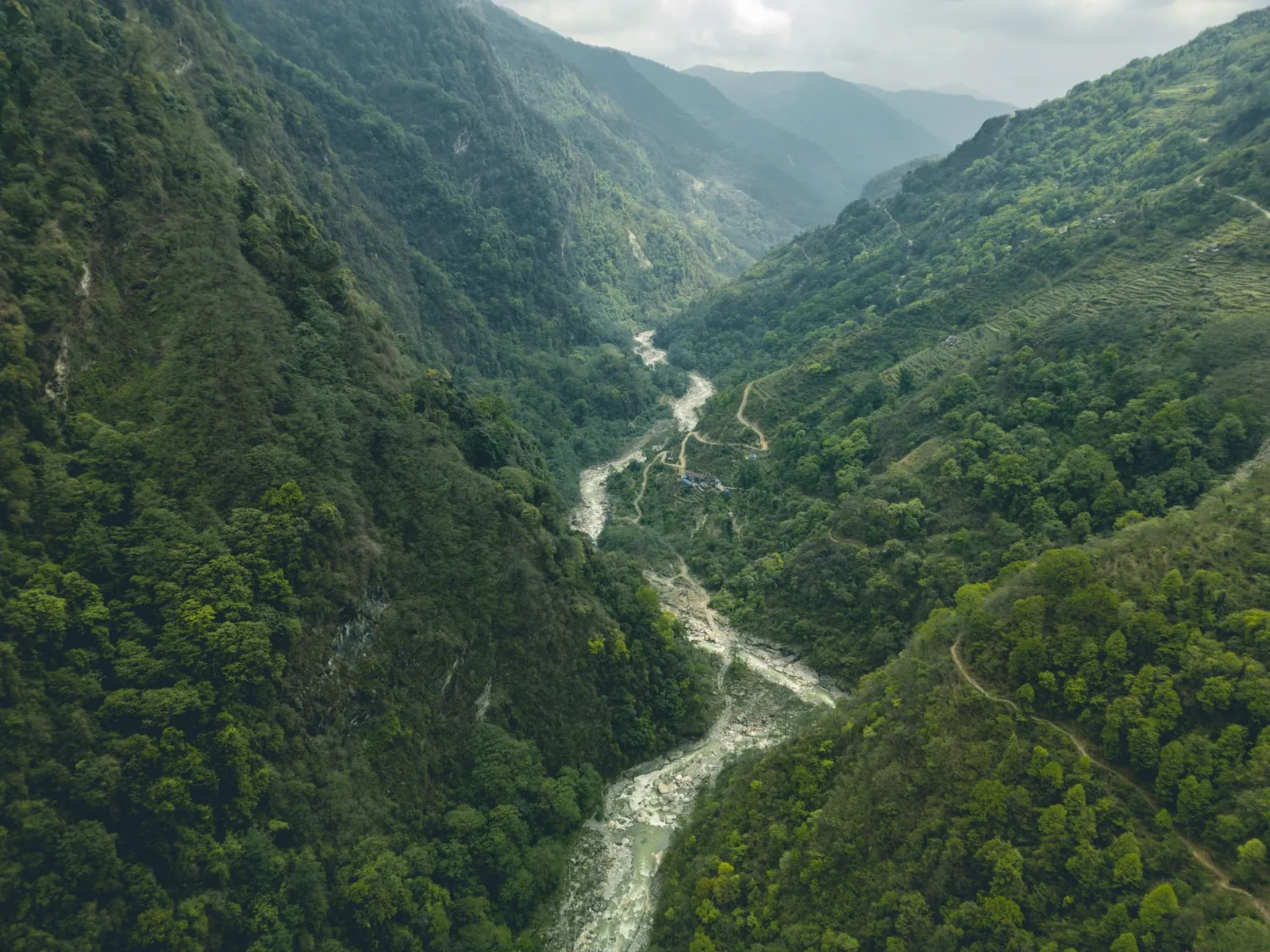
The mechanism is something geologists call river piracy. Around 89,000 years ago, the Kosi River system, cutting north into the Himalaya from the Ganges plain, worked its way headward until it broke into the course of the Arun River and diverted its flow. The Arun had been meandering gently below Everest; suddenly it was carrying far more water, with far more erosive force, through the Arun-Kosi gorge system that drains the very valleys that today's Makalu Base Camp trekkers walk through.
More water cutting a steeper, faster river means more rock scoured away and carried downstream, year after year. Removing that much mass from the Earth's crust has a predictable effect: the crust, no longer weighed down, floats upward to compensate — the same principle that makes a cargo ship ride higher in the water once you unload it. Geologists call it isostatic rebound. The UCL-led team modelled the volume of rock the Arun-Kosi system has since carried away and found it was enough to explain Everest's unexplained extra height almost exactly.
The rock that now forms Everest's summit pyramid was limestone on the bed of the ancient Tethys Ocean, packed with marine fossils.
The collision starts thrusting that seabed skyward, building the Himalaya.
River piracy accelerates erosion below Everest, triggering isostatic rebound.
Nepal and China jointly re-measure the summit by GPS and trigonometric survey, ending a decades-long dispute.
Everest gains up to 2mm a year — outpacing the erosion wearing its slopes down.
What this means for trekkers
This is not abstract geology confined to a journal. The Arun and Kosi valleys the study is built on are the same ground the Makalu Base Camp Trek follows, climbing from subtropical rice terraces at under 1,000 metres to the foot of the world's fifth-highest peak at over 4,800 metres — one of the steepest climate gradients on the planet, carved by exactly the river system now quietly lifting the summits above it. Everest itself keeps its precise, contested height only because Nepal and China now re-measure it with GPS receivers carried to the true summit, work that grew directly out of questions like the ones this study answers.
What this means for you
The mountain under your boots on any Everest or Makalu trek is not a fixed monument — it is actively rising, right now, for reasons scientists only fully explained in 2024. Few landscapes on Earth are still this alive.
Trekkers wanting to see the process firsthand — the deep Arun gorge, the rebound-lifted peaks, the dramatic climate zones — can walk it directly on the Makalu Base Camp Trek, or take in Everest's confirmed 8,848.86m summit from the classic Everest Base Camp Trek.
Cover photo: Abdul Kayum via Pexels (Pexels License).
Planning a trek?
Trek this route with us — Everest Base Camp Trek — 14 Days
NMA-certified local guides, transparent pricing, 5,000+ treks since 1998. Message us your dates and we'll sort the permits, lodges and logistics — reply within 24 hours, no obligation.


Popular Nepal treks
All treks →


Related coverage
Records & People
Fewer Than 1,000 Foreigners a Year Trek to Kanchenjunga Base Camp. Everest Sees That Many in a Week. Here's Who the 2026 Trek Suits
Seventy years after Joe Brown and George Band summited the world's third-highest mountain and stopped short of its final steps out of respect for local belief, we compare the remote Kanchenjunga Base Camp Trek against Everest and Annapurna on cost, permits, difficulty and crowds.

Records & People
Mount Everest's Summit Is Made of 450-Million-Year-Old Seabed — Fossils and All
At 8,849 metres, the rock under Everest's summit pyramid is ancient ocean floor, packed with the fossilised shells of sea creatures — proof the world's highest point was once at the bottom of the sea.
Trail & Weather
Makalu Base Camp Trek 2026: Nepal's Great Wilderness Walk (Permits, Days & Cost)
Everest sees tens of thousands of trekkers a year. Its 8,485m neighbour Makalu — the world's fifth-highest mountain — sees a few hundred. Here is the full guide to Nepal's wildest teahouse trek.
Records & People
The First Omani Woman to Summit Everest Died Chasing All 14 of the World's Highest Peaks
Nadhira Al Harthy failed her first mountain in 2015, then reached Everest's summit four years later. On July 30, 2026, an avalanche below Camp III on Pakistan's Broad Peak ended her climb toward the 8,000-metre club.
Latest from the desk
World Destinations
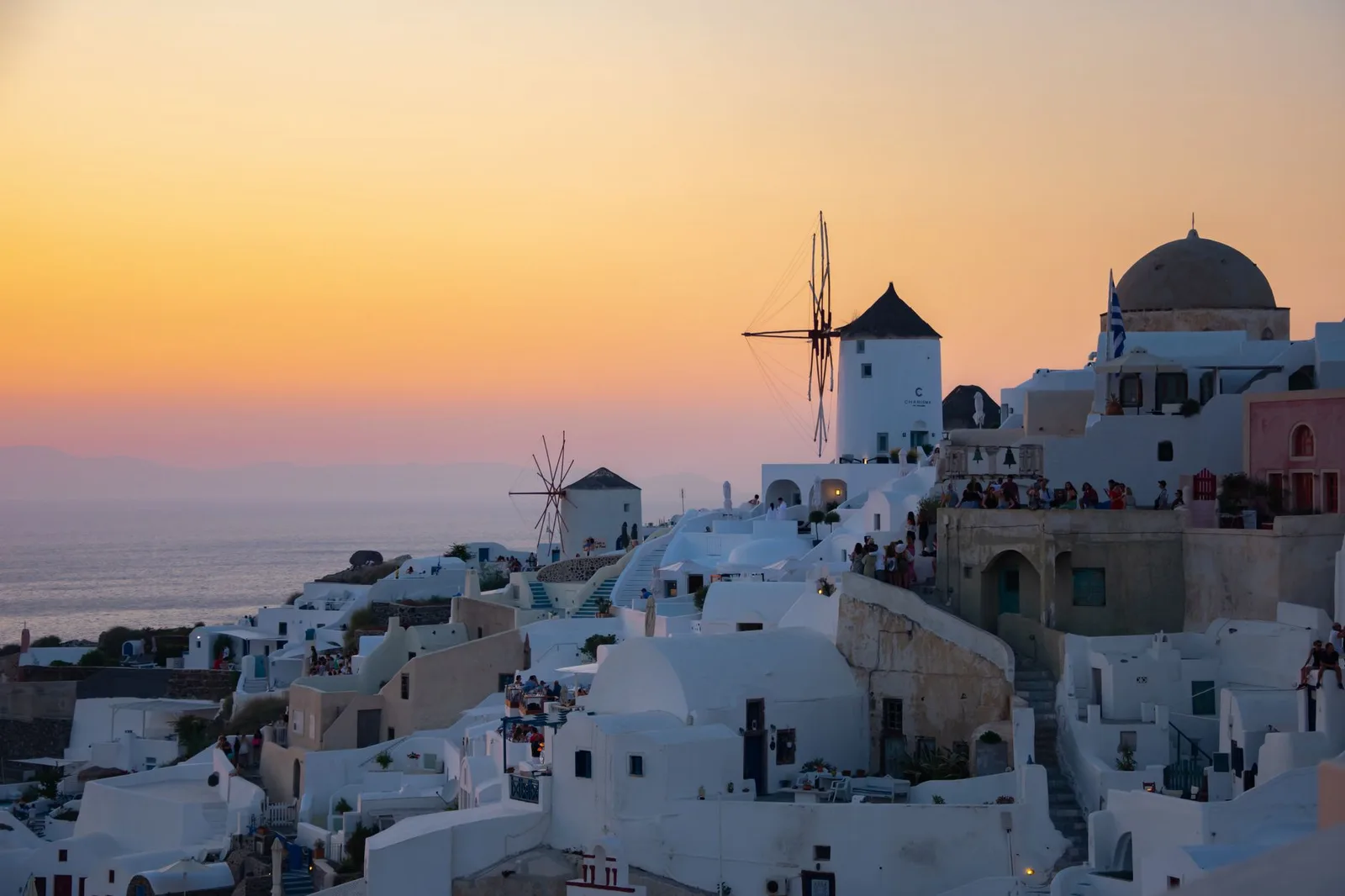
The Cheapest Months to Visit the World’s Top Destinations in 2026
Shoulder-season timing is the traveller’s cheat code: here is when prices and crowds drop across Japan, Italy, Greece, Thailand, Bali, Iceland and Nepal — and what you trade off.
Records & People
Sherpas Carry a Gene From an Extinct Human Species That Lets Them Breathe Where Others Suffocate
The reason your Sherpa guide isn't gasping at 5,000 metres traces back tens of thousands of years to interbreeding with the Denisovans, an extinct human relative known only from a Siberian cave.
Visas & Entry
Do You Need an International Driving Permit in 2026? (Countries, Cost & How to Get One)
An International Driving Permit is just a translation of your licence — but skip it in the wrong country and your rental (and insurance) can fall apart. Here is who needs one in 2026, the real cost, and why it barely matters in Nepal.