
The Kathmandu Valley You're Walking Through Used to Be a 200-Metre-Deep Lake
Geologists say the ground beneath Kathmandu's temples and guesthouses sat underwater for the better part of a million years, and the same soft lakebed sediment is a documented reason the city shakes so hard when an earthquake hits.
At a glance
- Published
- TopicRecords & People
- Verified againstNepali Times
- Treks coveredKathmandu & Pokhara Tour — 5 Days, Kathmandu Valley Cultural Tour — 3 Days
Most visitors landing at Tribhuvan International Airport look down at a bowl of terracotta rooftops ringed by green hills and assume it has always looked roughly like this. It hasn't. For the better part of a million years, the ground under Thamel, Durbar Square and the runway itself sat at the bottom of a lake.
Key facts
- Tectonic uplift dammed the ancient Bagmati River more than a million years ago, creating the basin that became the Paleo-Kathmandu Lake
- At its deepest, the lake reached roughly 200 metres, with water levels fluctuating between 1,400 and 1,440 metres elevation
- The lake began shrinking around 30,000 years ago as Ice Age cooling dried the Himalaya's climate
- Buddhist tradition holds that the bodhisattva Manjushree cut open the Chobhar gorge with his sword to drain the water, and that the lotus flame at its centre settled onto the hill that became Swayambhunath
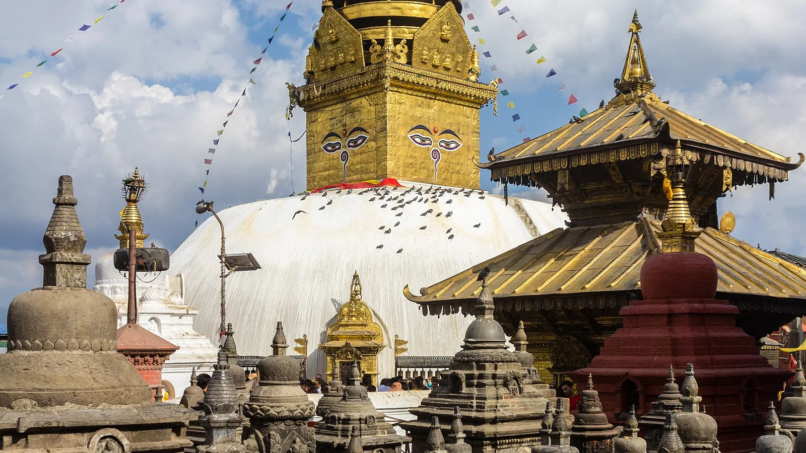
Geologists call it the Paleo-Kathmandu Lake, and the physical evidence for it sits under your feet on almost any walk through the old city: thick layers of fine-grained clay and silt, the kind that only accumulates on a lakebed over tens of thousands of quiet years. Boreholes drilled across the valley floor turn up the same sediment sequence almost everywhere, and it only thins out once you climb toward the hills that ring the basin — Swayambhunath among them, which the Swayambhu Purana describes as the hill formed where the lake's central lotus, and the self-arisen flame it carried, came to rest as the water fell.
The draining wasn't a single dramatic event. As the last Ice Age cooled and dried the Himalaya starting around 30,000 years ago, the lake began to shrink, and over the following millennia its outflow cut steadily deeper through limestone at Chobhar — the valley's one natural drainage point. The lake didn't vanish all at once either: it shrank in stages, leaving three smaller lakes behind at Gokarna, Pashupati and Kitni before the valley floor finally dried into the flat, fertile plain that made Kathmandu, Patan and Bhaktapur possible in the first place.
| Stage | What happened |
|---|---|
| Basin forms | Tectonic uplift dams the proto-Bagmati River, and the valley floods |
| Highest water level | Lake reaches roughly 200m deep, fluctuating with the climate |
| Shrinking begins | Ice Age cooling dries the Himalaya starting ~30,000 years ago |
| Final stages | Outflow cuts through Chobhar gorge; three smaller lakes remain at Gokarna, Pashupati and Kitni |
| Valley exposed | The basin dries into the flat plain the three historic cities are built on |
What this means for trekkers
What this means for you
That old lakebed isn't just a curiosity for the walk between temples. Soft, waterlogged sediment amplifies ground shaking far more than solid rock does, a documented factor in why the 2015 Gorkha earthquake damaged buildings in the Kathmandu basin more severely than towns built on firmer ground nearby. The same geology has an upside: it's why the valley floor is flat enough to farm, to build an airport on, and to walk between UNESCO sites on foot, in a country where almost nowhere else offers that kind of level ground.
You can trace the old shoreline logic in a single day: the Kathmandu Valley Cultural tour climbs from the old lakebed up to Swayambhunath's hilltop stupa, tracing close to the line the water once stood at, before longer itineraries head onward into the mountains on a full Kathmandu and Pokhara tour.
Sources: Nepali Times, 'The lake that was once Kathmandu'; Swayambhu Purana tradition as summarised by Nepali cultural heritage guides on the Manjushree legend.
Cover photo: Bijay Chaurasia via Wikimedia Commons (CC BY-SA 4.0).
Still running this season
Kathmandu & Pokhara Tour — 5 Days is running normally
NMA-certified local guides, transparent pricing, 5,000+ treks since 1998. Message us your dates and we'll sort the permits, lodges and logistics — reply within 24 hours, no obligation.


Popular Nepal treks
All treks →


Related coverage
Safety & Advisories
Is a Kathmandu Valley Tour Affected by the 2026 Nepal Floods?
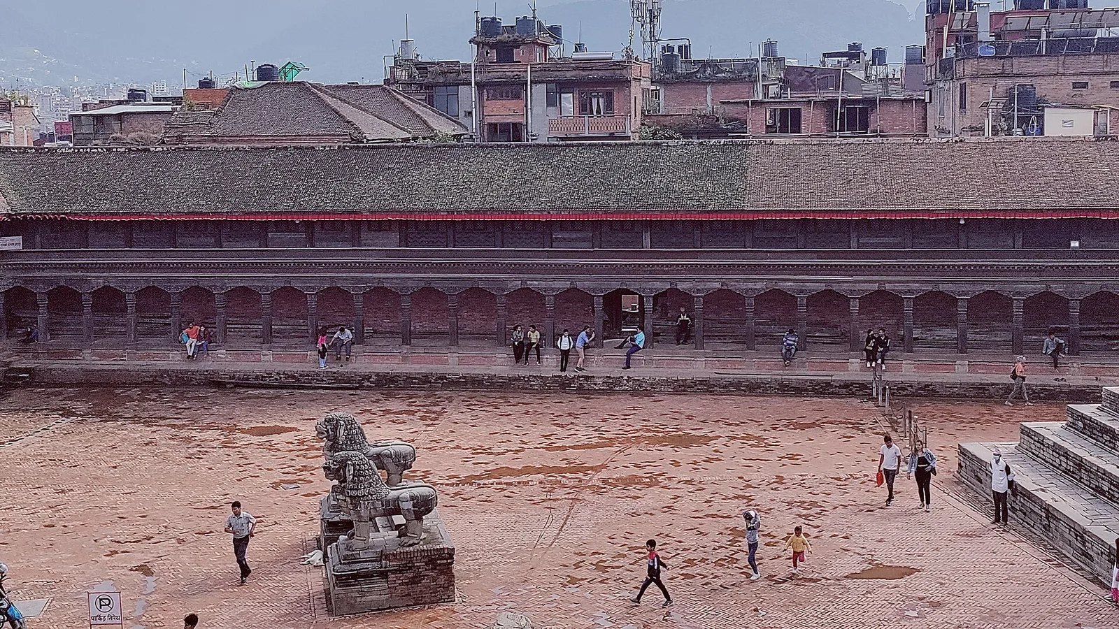
No — Kathmandu is the capital, at about 1,400 m in central Nepal, well south of the Rasuwa flood. The airport is running normally and every UNESCO heritage site in the valley is open. Here is the honest, detailed status.
Records & People
Nepal Runs on Its Own Clock: Why the Country Sits 15 Minutes Off Every Neighbor
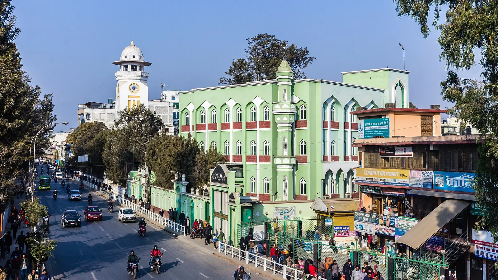
Land in Kathmandu and you don't just change time zones — you join one of the only places on Earth with a 45-minute offset, fixed to the exact minute of a Himalayan peak.
Culture & Heritage
Kathmandu Valley UNESCO Site: 7 Monument Zones, One Inscription (2026)
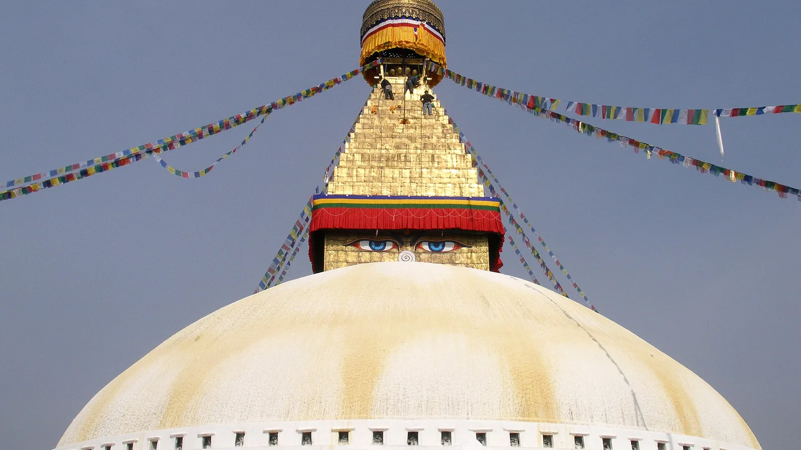
Seven monument zones, inscribed together in 1979 as one World Heritage Site, are the cultural gateway every Nepal trek passes through.
Festivals & Events
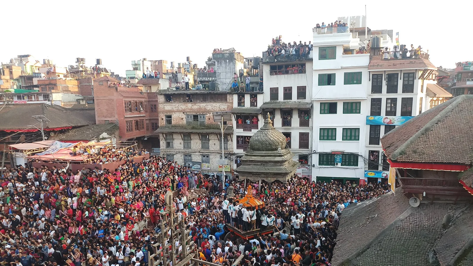
Indra Jatra 2026: Kathmandu's Biggest Street Festival, the Living Goddess and How to See It
Kathmandu's biggest street festival honours Indra
Latest from the desk
World Destinations
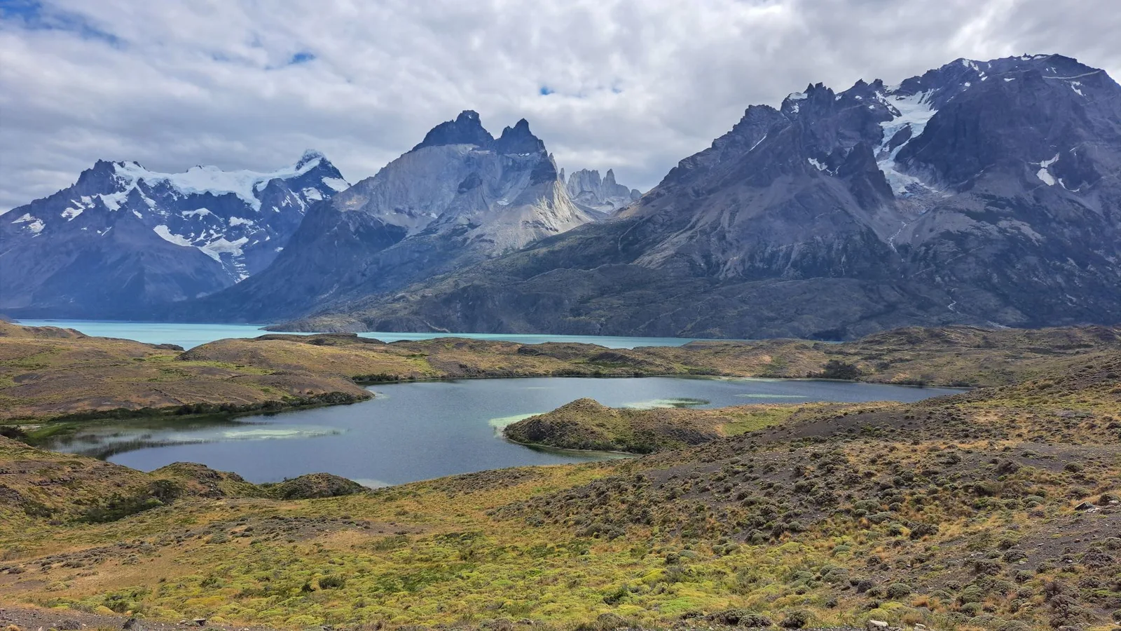
The World’s Best National Parks to Visit in 2026: A Continent-Hopping Bucket List
From Torres del Paine to the Serengeti to Nepal’s own Everest and Chitwan — nine UNESCO-grade parks worth planning a whole trip around, and the season each is best.
Records & People
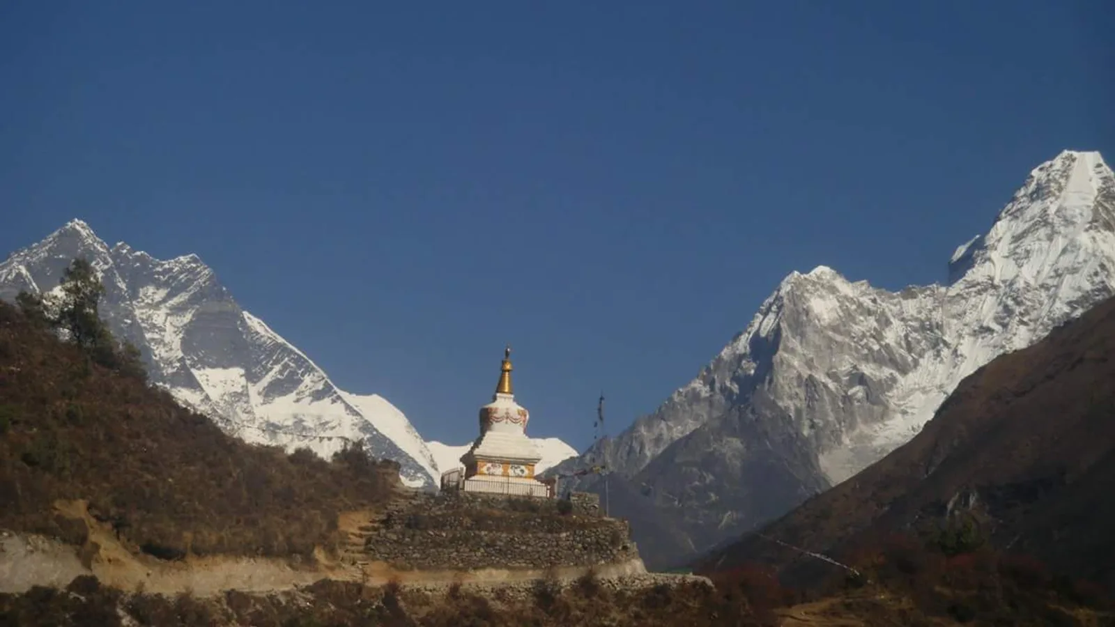
The Yeti Footprint Fooled the World for 70 Years — Then DNA Solved It
A grainy 1951 photograph near Everest launched a global legend, until a 2017 study tested nine 'yeti' samples and found six bears of one kind, three of another, and a dog.

Safety & Advisories
Travel Vaccinations by Destination in 2026: The Sensible Overview (Routine Jabs, Regional Extras and Nepal)
A calm, accurate guide to routine and travel vaccines by region — from hepatitis A and typhoid to yellow-fever certificates, and why malaria is pills, not a jab.