The road reaches Machha Khola: how the Manaslu Circuit start has changed for 2026
The jeep road now runs deep into the Manaslu approach, Machha Khola is the new practical trailhead, and 4G has reached Samagaon. Here's what the changing roadhead means for your trek.
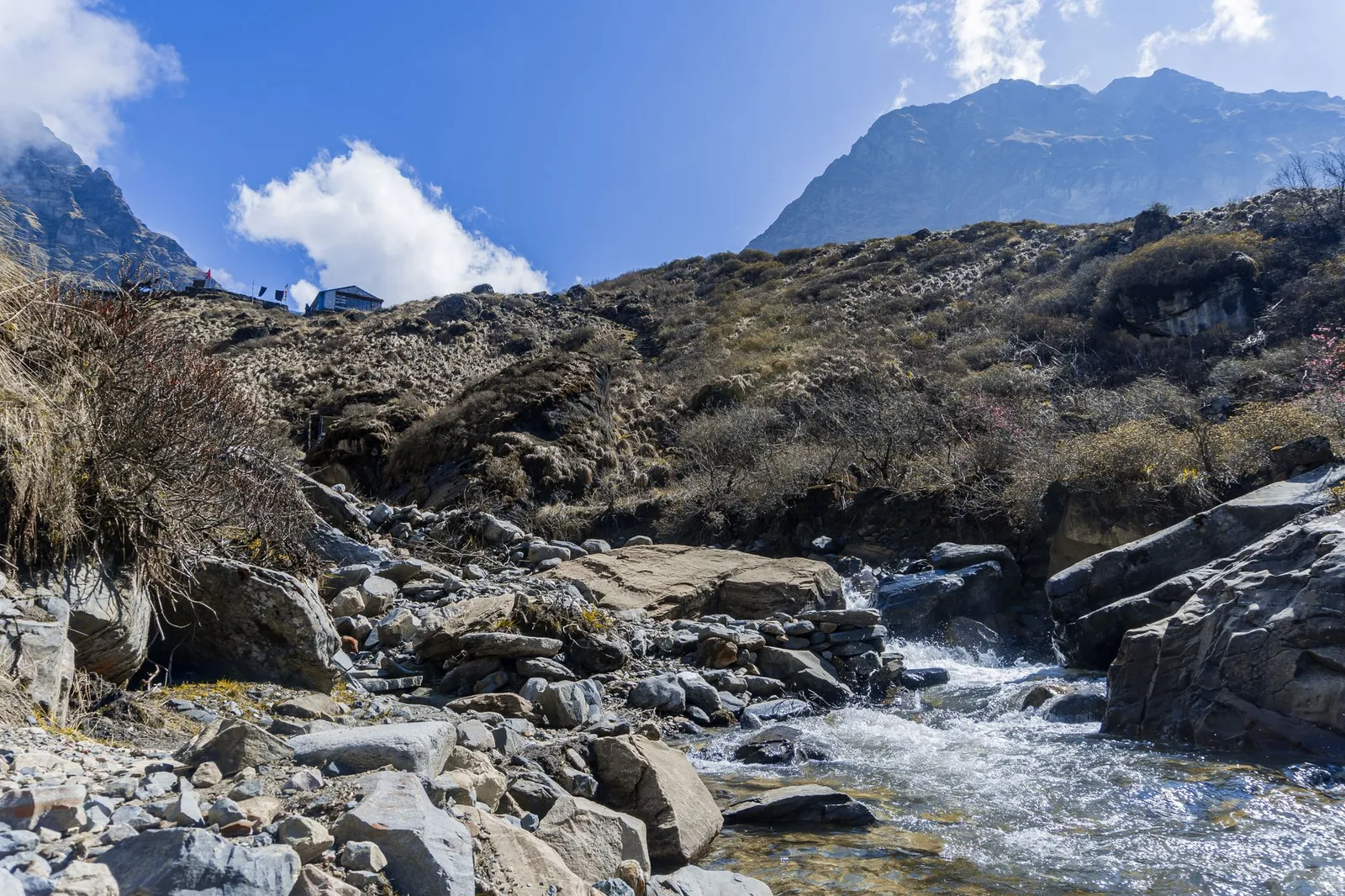
The Manaslu Circuit has long been sold as the wilder, quieter alternative to the Annapurna Circuit — and it still is. But the way you reach it has been changing steadily — the Benighat–Arughat–Larke Bhanjyang road corridor has been pushing up the Budhi Gandaki since around 2020 — and trekkers planning a 2026 departure should know where the road now ends and the walking begins. The short version: the jeep road has pushed deep into the lower valley, Machha Khola has become the practical starting point, and even the high villages now have a mobile signal.
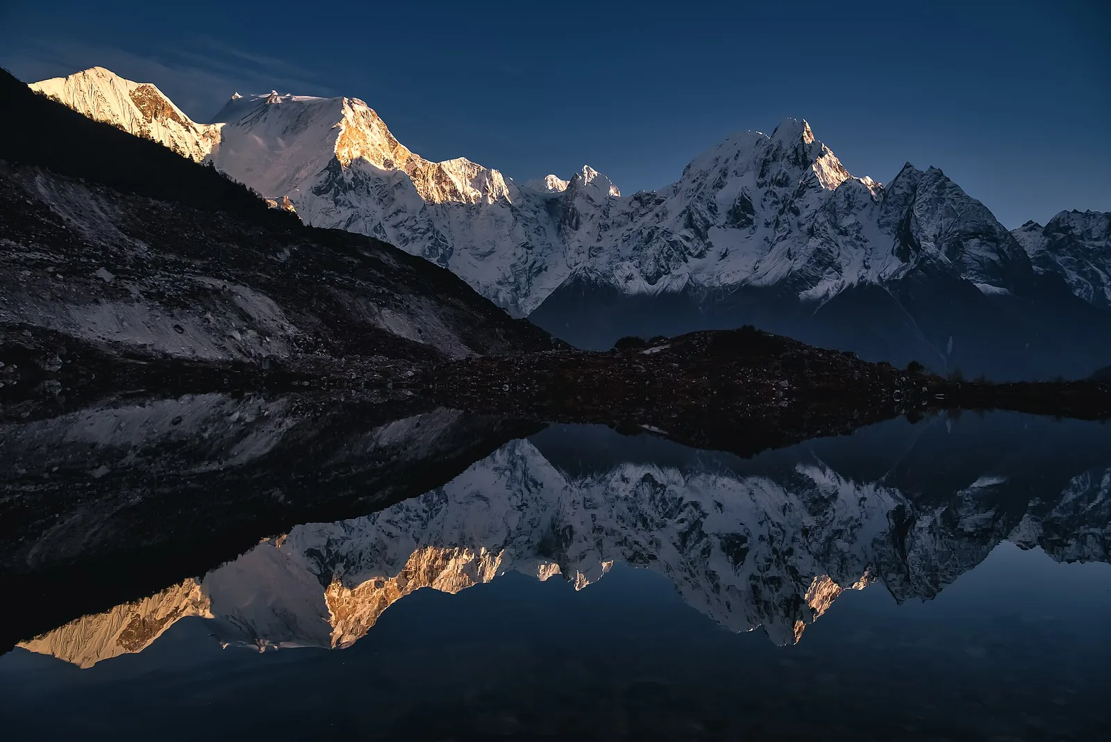
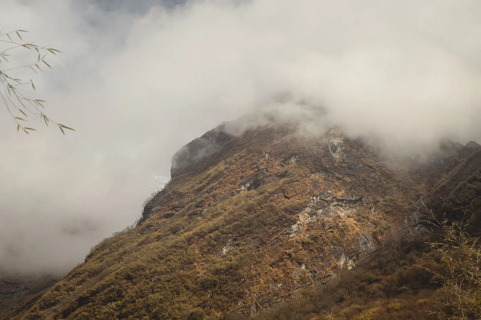
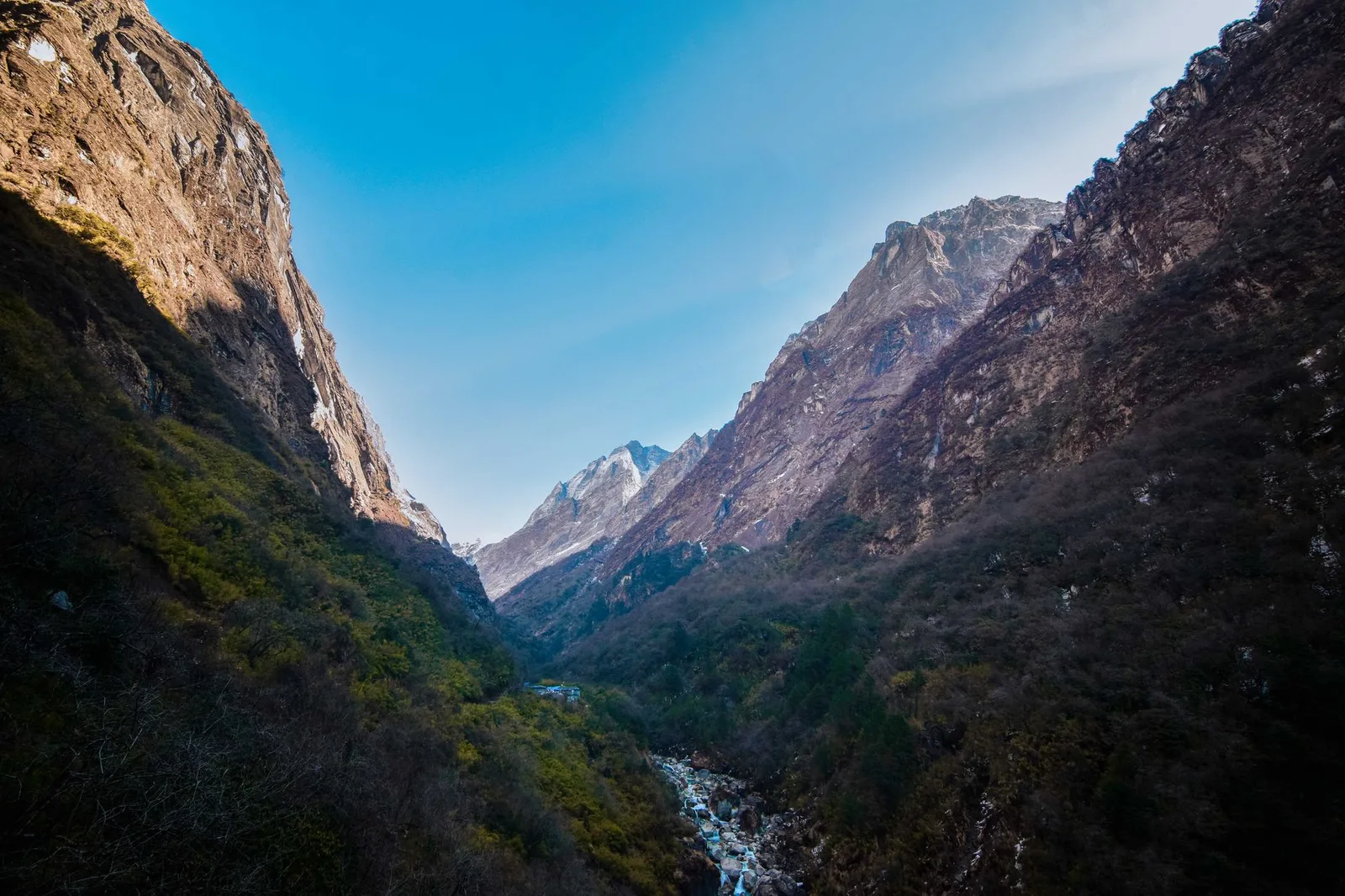
From the trail · Manaslu


Key facts
- Road is now concrete to Arughat, drivable on to Machha Khola
- Machha Khola is the new recommended trailhead
- Jeeps reach Jagat / Pangsing — the current roadhead
- 4G has arrived in Samagaon and other key villages
Where the road ends now
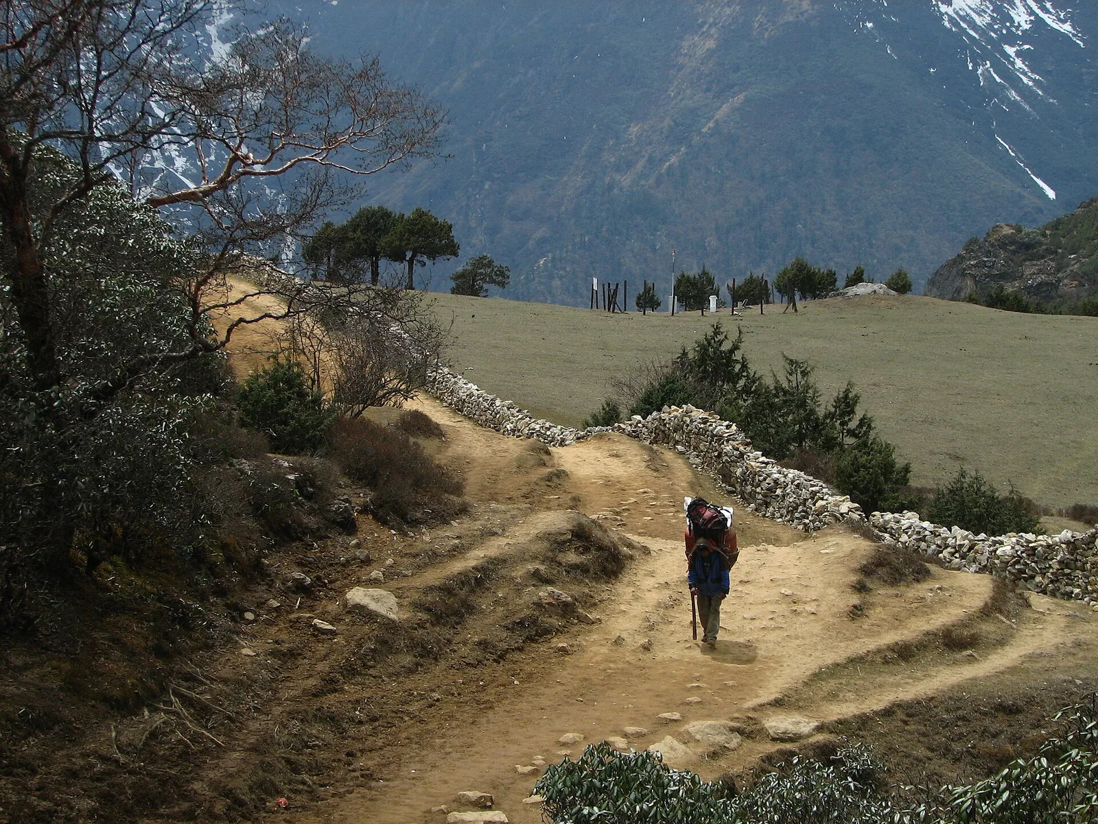
For years, trekkers started walking from Soti Khola. That section is now largely a jeep track. As of 2026, the road from Kathmandu via Arughat is concrete and smooth to Arughat, then continues to Machha Khola, which most operators now use as the practical trailhead. Beyond it, jeeps can push on toward Jagat and Pangsing in dry conditions — Jagat being the first official checkpoint for the Manaslu restricted-area permit, so your paperwork must be in order before you arrive.
| Section | Status |
|---|---|
| Kathmandu – Arughat | Concrete road, smooth |
| Arughat – Machha Khola | Drivable; new trailhead |
| Machha Khola – Jagat | Jeep track (dry season) |
| Jagat onward | Restricted area, on foot |
The trade-off
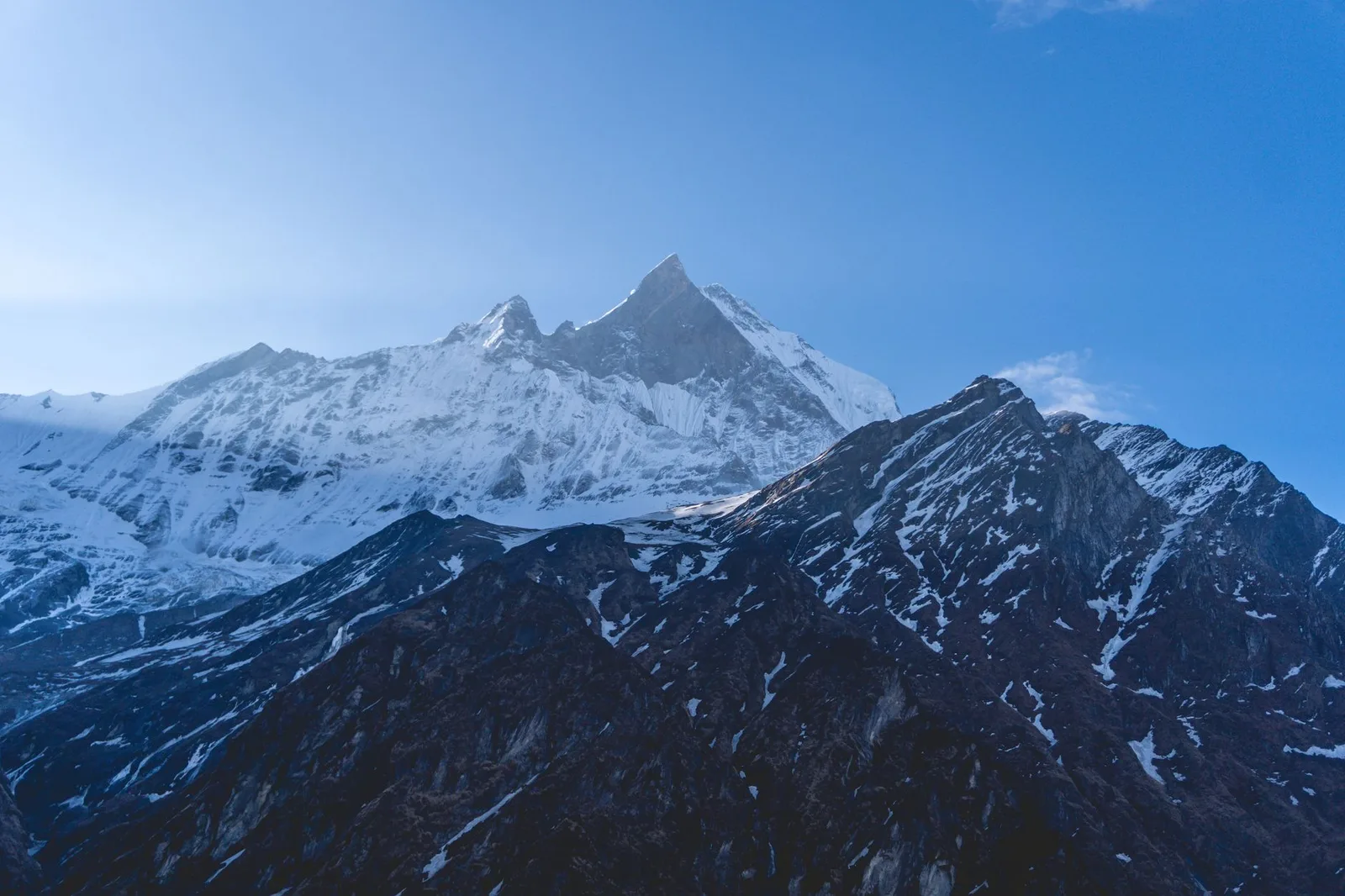
This is the eternal Himalayan bargain. The road shortens the hot, low-altitude slog through the first day or two, which many trekkers happily skip — you start higher and spend your energy on the spectacular upper valley. But it also chips away at the sense of remoteness that made Manaslu special, and the dust and jeeps in the lower sections are not what anyone pictures. The good news is that the heart of the trek — from the restricted area up through Namrung, Samagaon, Samdo and over the Larkya La pass at 5,106m — remains a walking world, gloriously untouched by road.
Connected, even up high
One genuinely useful change: 4G coverage has reached Samagaon and other iconic villages. For trekkers that means easier check-ins home, live weather checks before the Larkya La, and — most importantly — faster communication in an emergency. It is a small comfort that meaningfully improves safety on a remote, high-altitude circuit.
What this means for you
Plan your Manaslu itinerary around Machha Khola as the start, not Soti Khola, and budget a comfortable drive day from Kathmandu. Remember that a licensed guide and a restricted-area permit through a registered agency are mandatory here — solo trekking is not allowed. As a partly rain-shadowed route, the upper valley also holds up better than most in the shoulder seasons.
Manaslu in 2026 is a trek in transition: easier to reach, better connected, but still crowned by one of the most magnificent high passes in Nepal. Get there before the road climbs any higher.
Source: The Himalayan Times trail report; Manaslu Treks & Expedition.
Cover photo: Samdesherpa via Wikimedia Commons (CC BY-SA 4.0).
Source: The Himalayan Times
Planning a trek?
We handle the permits, logistics & guides
NMA-certified local guides, transparent pricing, 5,000+ treks since 1998. Tell us your dates and we'll sort the rest.


Popular Nepal treks
All treks →


More in Trail & Weather
Trail & Weather
Nepal's Monsoon Is Still Cutting Roads to Annapurna, Manaslu and Langtang — Here's When Each Trail Clears for Autumn 2026
This week floods severed the access roads to Manang and Rasuwa, and landslides remain a fixture on the Manaslu trailhead road. We checked conditions region by region and worked out when trekkers can actually expect firm, dry trails this autumn.
Trail & Weather
Makalu Base Camp Trek 2026: Nepal's Great Wilderness Walk (Permits, Days & Cost)
Everest sees tens of thousands of trekkers a year. Its 8,485m neighbour Makalu — the world's fifth-highest mountain — sees a few hundred. Here is the full guide to Nepal's wildest teahouse trek.

Trail & Weather
When Does the Monsoon Start and End in Nepal? (2026 Dates)
Nepal's monsoon officially runs 1 June–30 September — but in 2026 it arrived a week late (19 June) and weaker than usual. Here are the real DHM dates, what they mean for trekking, and where you can still go.
Latest from the desk
Industry & Tourism
How Much Should You Tip Your Nepal Trekking Guide and Porter in 2026? The Real Numbers
Nepal has no official tipping rate — but gratuities make up an estimated 30-50% of a guide or porter's yearly income. Here's what international trekkers actually pay, verified against porter-welfare guidelines.
Safety & Advisories
Everest Base Camp: Trek It or Fly It? The Honest 2026 Cost, Time and Safety Comparison
A helicopter can put you at Everest Base Camp in one day for about the same group price as the trek. Here's what the extra 9-14 days actually buy you, according to CDC altitude-risk guidance and our own 2026 pricing.
Safety & Advisories
How Fit Do You Actually Need to Be for Everest Base Camp vs Annapurna Base Camp? The Honest 2026 Benchmarks
EBC and ABC are both sold as moderate treks, but altitude, not distance, is what actually separates them. Here are the real training benchmarks, not the hype.