
Nepal Lost a Tenth of Its Power Grid in Thirty Minutes
431 megawatts gone, six plants down the same river, and another 470 MW damaged before it was even finished. The Rasuwa flood was a national infrastructure event, not just a mountain one.

At a glance
- Published
- TopicClimate & Environment
- ReportingOriginal, by our guides in Pokhara
- Treks coveredAnnapurna Base Camp Trek — 7 Days, Everest Base Camp Trek — 14 Days
Here is the number that should have led every bulletin and mostly did not: 431 megawatts came off Nepal's grid on 26 August. The country has roughly 4,300 MW installed. So a single wave took out about a tenth of the national power supply in the time it takes to watch a sitcom.
Six facilities went down together — Rasuwagadhi, Chilime, Trishuli, Trishuli 3A, Trishuli 3B Hub and Devighat — because they are all strung along the same river. And another 470 MW still under construction was damaged too, which is next year's electricity, gone before it arrived.
Why six plants failed at once
They were not unlucky. They were adjacent.
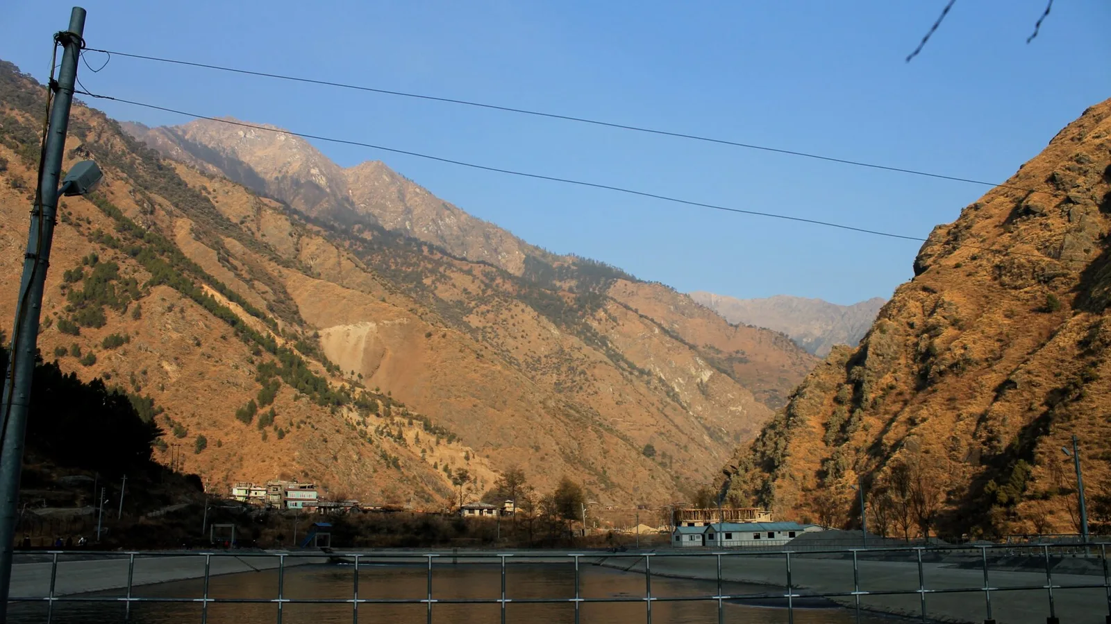
Nepal builds hydropower where the water falls fastest, which means high, steep, glacier-fed rivers. The Bhote Koshi and Trishuli corridor is one of the best stretches in the country for it, so that is where the plants went, one after another down the same valley.
Which is fine, until the thing coming down the valley is not water.
The first two bars are shown against each other, not against the 4,300 MW total — at true scale they would be slivers, which hides the point rather than making it.
The debris was moving at about 180 km/h
A slab of glacier roughly 600 metres wide broke away and fell around 1,200 metres. Analysts put the debris speed at roughly 50 metres per second. That is 180 km/h, or motorway speed, made of ice and rock.
It dammed the Lhende Khola, held, and then let go. Downstream the Galchchi gauge rose nine metres in thirty minutes. Malekhu rose seven.
| What it cost | Figure |
|---|---|
| Confirmed dead | 392+ (389 Nepal, 3 China) |
| Missing | 1,468+, including 668 tourists from 34 countries |
| Road destroyed | 42 km, about Rs 15 billion |
| Vehicles swept away | 300+ |
| Schools damaged | 20, across three districts |
| People displaced | ~1,200, from at least three villages |
This exact thing happened in 1985
When Dig Tsho burst in the Khumbu in 1985, the flood destroyed a hydropower station at Thamo that had not yet been switched on. Fourteen bridges went with it.
Forty-one years later, a different lake, a different valley, and the same story: the power plants were on the glacier-fed river because that is where the power is, and the glacier-fed river is exactly where this happens.
Nobody has an easy answer to that. Nepal is not going to stop building hydropower — it is the one energy resource the country has in abundance, and it has spent a decade climbing out of the load-shedding years. But siting six plants down one glacial corridor turns a single upstream event into a national one.
So what does this mean for your trek? Genuinely, not much
We are a trekking company and we would rather tell you the boring truth than a scary one.
The power story is real and it is a national headache — expect some load-shedding pressure this winter while repairs run. But it is a grid story, not a trail story. Teahouses in the Annapurna and Everest regions run on local micro-hydro and solar, and were never on these lines.
Annapurna and Everest were untouched by the flood and are running normally this autumn. Langtang is the one to avoid for now, because its access road goes through the valley that got hit.
Open right now · Annapurna & Khumbu


Coming this autumn? Live region-by-region status, updated from Pokhara: Nepal trekking conditions right now. What actually caused it: the ice-rock avalanche explained. And why the lake was not on any map: Nepal's 2,070 glacial lakes.
Sources. Grid and infrastructure figures: Nepal Electricity Authority reporting and the consolidated damage tally for the August 2026 floods; road and bridge damage from the Department of Roads (Director Bijaya Jaishi). Nepal's installed capacity of roughly 4,300 MW: Ministry of Energy, Water Resources and Irrigation. Avalanche dimensions, debris velocity and the Galchchi and Malekhu gauge readings: ICIMOD, with Nepal's Department of Hydrology and Meteorology. Dig Tsho 1985 figures: published hydrological literature and the World Bank/GFDRR review. Casualty figures are provisional and have risen daily.
Annapurna and Everest are open
Untouched by the flood, running normally this autumn. Price a pair pays:
- Annapurna Base Camp — 7 days · from US$730 per person
- Everest Base Camp — 14 days · from US$1,650 per person
Planning a trek?
Trek this route with us — Everest Base Camp Trek — 14 Days
NMA-certified local guides, transparent pricing, 5,000+ treks since 1998. Message us your dates and we'll sort the permits, lodges and logistics — reply within 24 hours, no obligation.

Popular Nepal treks
All treks →


Related coverage
Climate & Environment
The USGS Logged It as an Earthquake. It Was 1,200 Metres of Mountain Falling.
Scientists now say the Rasuwa flood began with an ice-and-rock avalanche that fell 1,200 m, dammed a river inside Tibet, and burst hours later — and that the dam did not exist the previous morning.
Industry & Tourism
The Rasuwa Flood Knocked Out 430 MW — Will Nepal’s Winter Power Cuts Return? (2026)
Around 430 MW of capacity was damaged when the 26 August flood tore through the Bhote Koshi–Trishuli corridor. But Nepal already imports power from India every dry season, and these run-of-river plants produce least in winter — so the institutional data points to a wider, costlier import gap this year, not a return of the up-to-18-hour load-shedding that ended in 2018. Here are the NEA numbers.
Climate & Environment
Glacial Lake Outburst Floods: Nepal’s Fast-Growing Mountain Hazard in 2026
As Himalayan glaciers retreat they leave meltwater lakes dammed by loose moraine — and when a dam fails, the flood tears down the valley. Here is what a GLOF is, why they are increasing, and what Nepal is doing about it.
Climate & Environment
Nepal's Glacial-Flood Warning Gap: Why GLOFs Keep Catching the Mountains Off Guard (2026)
Nepal's flood alarms watch its own known lakes — but the Bhote Koshi's disasters keep starting across the border in Tibet, beyond every sensor, arriving with minutes of warning at best.
Latest from the desk

Safety & Advisories
India Sends Around 50 Tonnes of Aid to Nepal as Modi Offers Condolences After the 2026 Floods
India is rushing tonnes of relief and rescue support to flood-hit Nepal, as Prime Minister Narendra Modi conveyed condolences to his Nepali counterpart and pledged India's full solidarity.

Money & Insurance
Does Your Credit Card Include Travel Insurance in 2026? What It Covers — and the Costly Gap
Many premium and travel cards bundle some cover — but it's usually secondary, conditional and capped, and it almost never pays for the emergency medical bill or evacuation that actually bankrupts travellers.
Safety & Advisories
Everyone Is Pledging Millions to Nepal. Here Is Where You Can Actually Send Money
The UN released $2m, the US pledged $500,000, India sent 50 tonnes. None of that helps if you are one person with a card. The official fund, the two alternatives worth trusting, and the scam window that is open right now.