
The World's Most Dangerous Airport Has No Go-Around Option — and It's the Only Way to Everest
Tenzing-Hillary Airport's runway is shorter than five football pitches, tilts uphill at nearly 12%, and ends in a rock wall on one side and a valley drop on the other — every Everest trekker flies through it anyway.
At a glance
- Published
- TopicFlights & Access
- Verified againstForbes
- Treks coveredEverest Base Camp Trek — 14 Days, Everest Base Camp Helicopter Tour — 1 Day, Everest Base Camp Trek — 10 Days
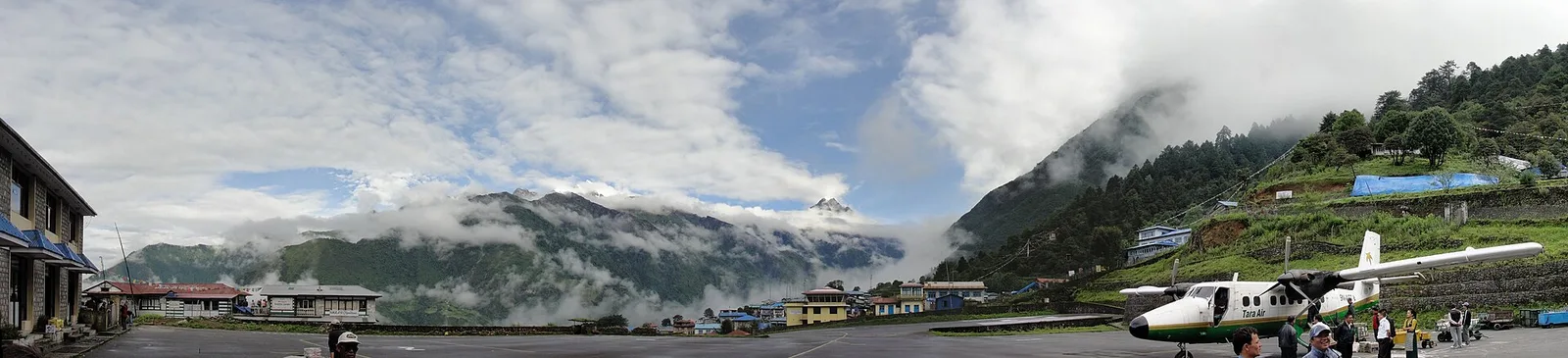
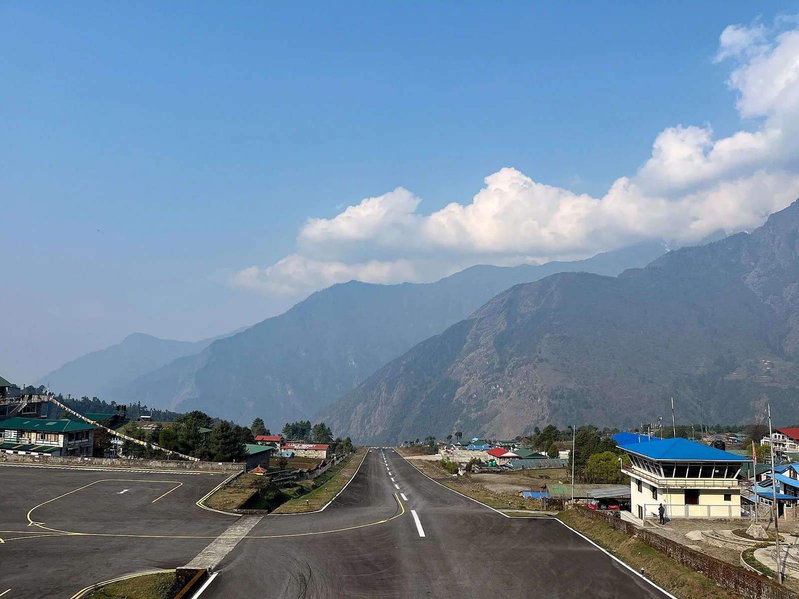
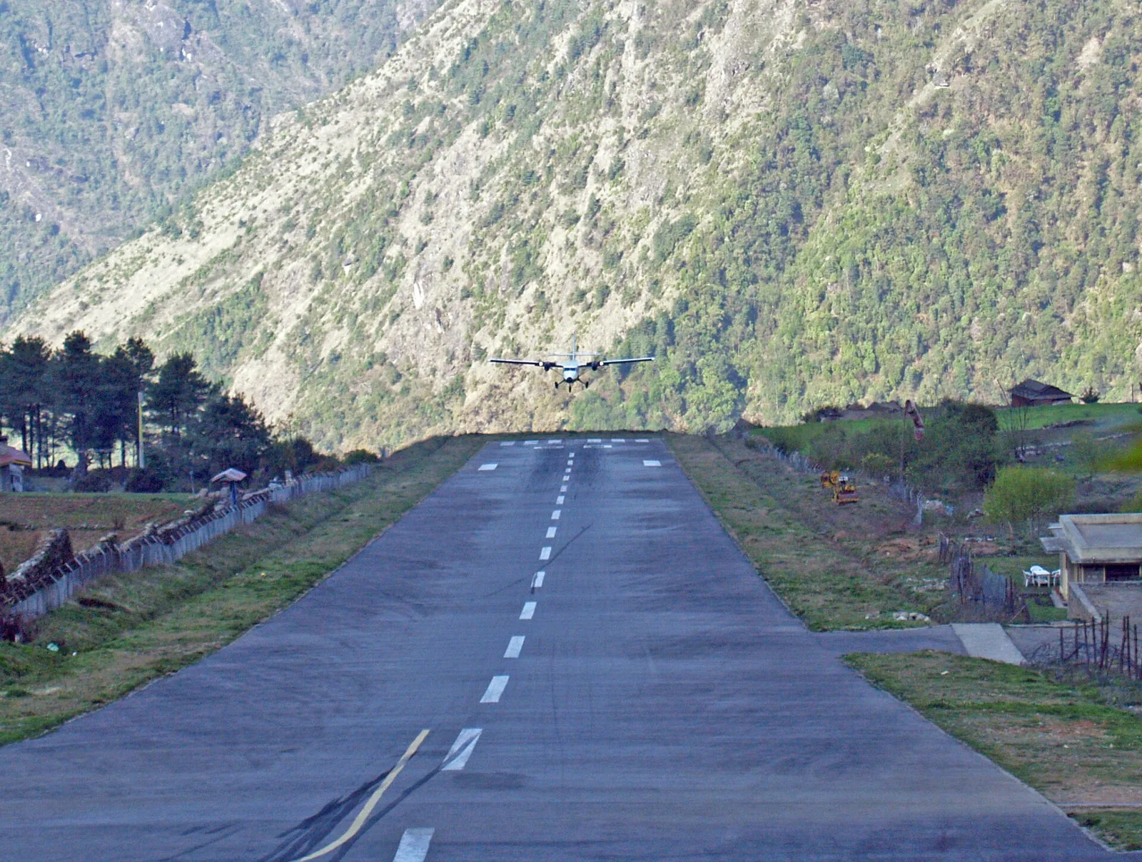
Blink and you would miss the runway. Tenzing-Hillary Airport in Lukla is 527 metres long — about a sixth the length of Kathmandu's own runway — and tilts uphill at an 11.7% gradient. One end stops at a solid rock wall; the other falls away into the Dudh Koshi valley. There is no possibility of a go-around if a pilot gets the approach wrong. And yet tens of thousands of foreign trekkers fly through it every year, because short of a multi-day walk from the nearest road, there is no other way toward Everest.
Key facts
- Runway: 527 metres long, 20 metres wide — a fraction of a normal international strip
- Gradient: 11.7%, built uphill so the slope itself acts as a natural brake on landing
- Elevation: roughly 2,845 metres (9,383 ft) above sea level, with no radar — pilots fly entirely by sight
- Deadliest crash: an October 2008 Yeti Airlines flight killed 18 people on board
Aviation histories and local accounts credit the strip's 1964 construction to a request from Sir Edmund Hillary, who needed a way to fly building material into the Khumbu for the schools and hospital his Himalayan Trust was building after his and Tenzing Norgay's 1953 first ascent of Everest. In 2008 the airport was formally renamed Tenzing-Hillary Airport in honour of both men. It remains the single busiest gateway to the Everest region, and one of the few airstrips anywhere still flown almost entirely on eyesight and experience rather than instruments.
Forbes and aviation safety writers who have studied Lukla point to the same five compounding hazards: a runway barely a sixth the length international jets expect; thin high-altitude air that saps engine and lift performance; steep terrain hemming in the strip on every side; fast-changing Himalayan cloud that can close the valley within minutes; and the total absence of a go-around — once a Twin Otter commits to the slope, it is landing, one way or another. Nepal's Civil Aviation Authority responds by licensing only specially rated pilots: a minimum of 100 logged short-takeoff-and-landing flights, at least a year of flying experience inside Nepal, and ten supervised Lukla landings alongside a certified instructor before anyone flies the route solo. Flights operate under visual flight rules only, in daylight, and almost always before mid-morning, since cloud typically rolls up the valley by early afternoon and can shut the strip for the rest of the day.
What this means for trekkers
What this means for you
This is also why almost every Lukla-bound flight in the two peak trekking seasons — mid-March to May, and late September to November — now departs not from Kathmandu but from Manthali airport near Ramechhap, about 132km east. Manthali sits far lower, clears earlier in the morning, and cuts the hop to Lukla to roughly 15–20 minutes instead of 30–35, easing pressure on Kathmandu's single congested runway. In practice that means a pre-dawn hotel pickup, a four-to-five-hour road transfer, and then a short, weather-permitting flight — so build at least one or two spare days into any Everest Base Camp itinerary for fog delays, which are routine rather than rare. Trekkers who would rather skip the dice roll altogether can fly straight from Kathmandu on our EBC helicopter route, bypassing Lukla's fixed-wing schedule entirely. Whichever way you fly in, the pilots making that final turn onto the slope are among the most specifically trained short-field aviators in the world — it is precisely why the safety record, given the terrain, has held up as well as it has.
Source: Forbes
Cover photo: Bigforrap via Wikimedia Commons (CC BY 3.0).
Planning a trek?
Trek this route with us — Everest Base Camp Trek — 14 Days
NMA-certified local guides, transparent pricing, 5,000+ treks since 1998. Message us your dates and we'll sort the permits, lodges and logistics — reply within 24 hours, no obligation.


Popular Nepal treks
All treks →


Related coverage
Flights & Access
Every Everest Trekker Flies Through the World's Most Dangerous Airport — Here's Why There's No Other Way In
Tenzing-Hillary Airport at Lukla has a 527-metre runway wedged between a mountain wall and a cliff, and pilots need ten prior landings here before they're certified to fly it alone.

Records & People
The World's Highest Marathon Starts at 17,600 Feet — and the Record Is Under 3 Hours 29 Minutes
Every 29 May, roughly 250 runners drop nearly 2,000 vertical metres down the Everest Base Camp trail to Namche Bazaar. Here's what the Tenzing-Hillary Everest Marathon actually involves, and who has run it fastest.
Flights & Access
Kathmandu-Lukla Flights Shut Down for All of Autumn 2026 — Why Every Everest Trekker Now Flies From Manthali Instead
Nepal's aviation authority again grounds direct Kathmandu-Lukla flights from 25 September to 30 November 2026 — here's why the Ramechhap diversion actually makes flying to Everest Base Camp more reliable, and how many buffer days to plan for.
Flights & Access
Can you trek to Everest Base Camp without the Lukla flight? Yes — the classic Jiri route
You can reach base camp entirely overland, the way Hillary and Tenzing walked in 1953, before Lukla's airstrip existed. It adds about 5–7 days and skips the flight completely — here is the trade-off.
Latest from the desk

Gear & Tech
Travel Adapters & Power Banks in 2026: What to Pack (and the Airline Rules You'll Break by Accident)
Nepal runs 230V on Type C/D/M plugs, and your power bank flies in the cabin only — up to 100Wh with no approval, 100-160Wh with permission, over 160Wh banned. The 2025 crackdown, the watt-hour maths, and a charging plan that beats teahouse fees.
Records & People
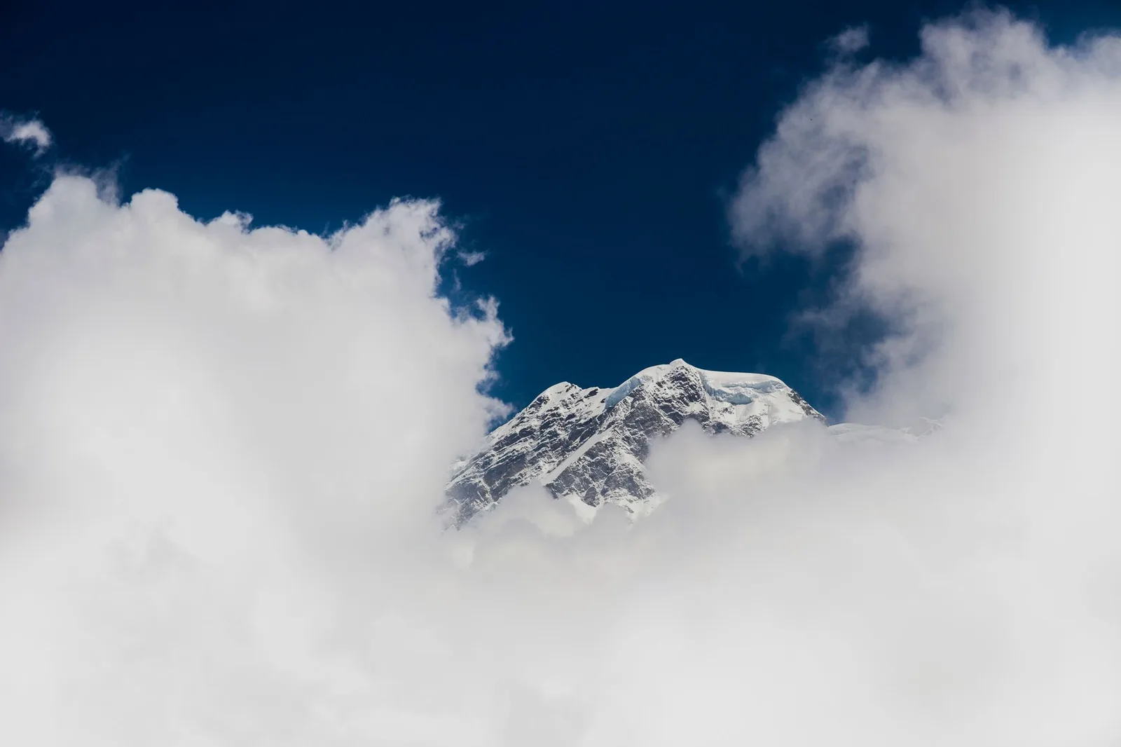
The Man the World's Tallest Mountain Is Named After Never Once Saw It
Everest was measured by an Indian mathematician the British empire barely credited, named after a surveyor who begged them not to, and didn't get its Nepali name until a historian rediscovered it in 1939.
Money & Insurance
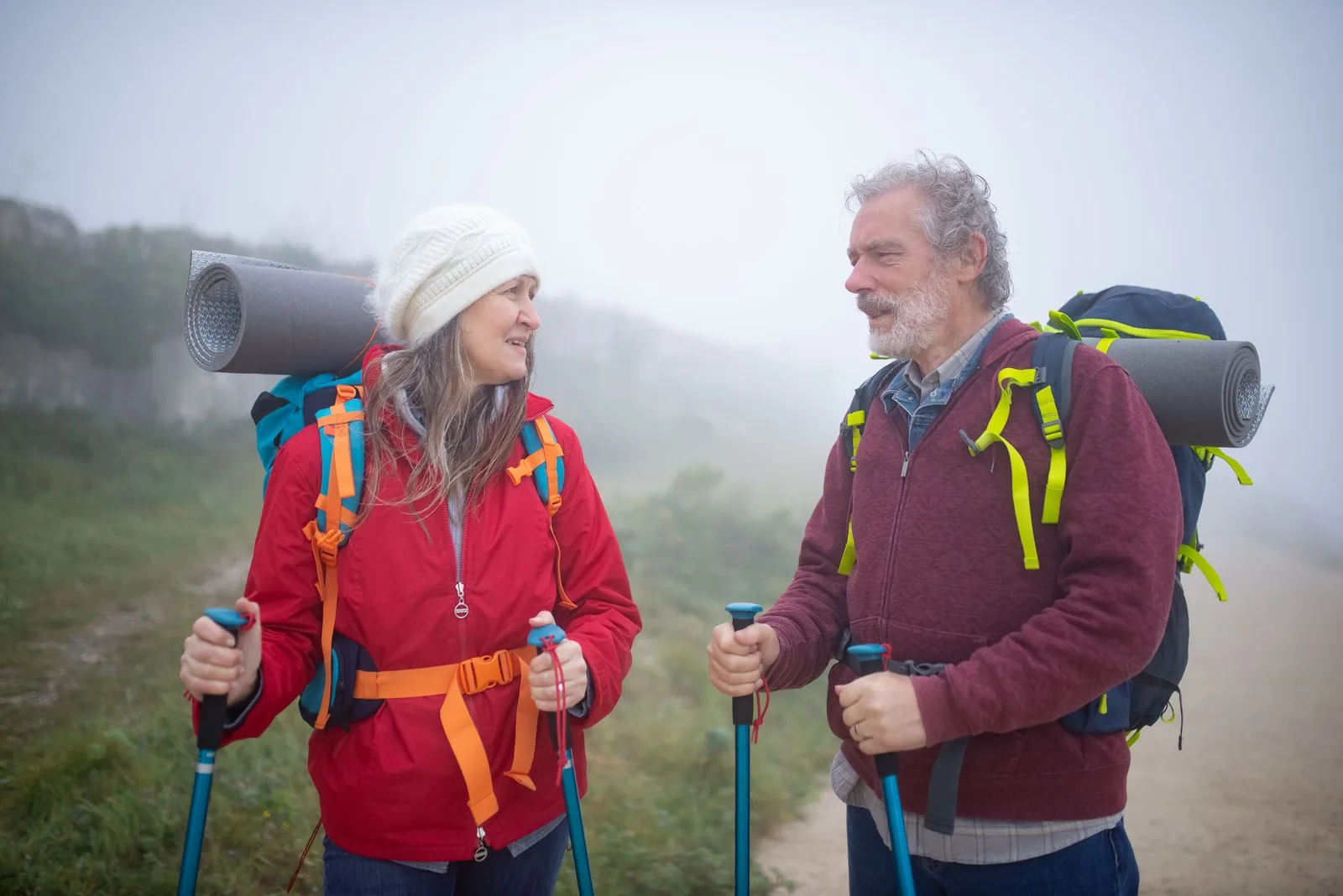
Travel Insurance for Seniors in 2026: Cover, Costs & the Age-Limit Traps
Why premiums jump after 65, the age caps that quietly refuse you, and how an active over-65 gets cover that actually holds on Everest and Annapurna.