
Why There Are Seashells on Top of Mount Everest
The summit of the world's highest mountain is 450-million-year-old ocean floor — with fossils of trilobites and sea lilies found just six metres below the top.

At a glance
- Published
- TopicRecords & People
- Verified againstMontana State University
- Treks coveredEverest Base Camp Trek — 14 Days, Gokyo Ri Trek — 11 Days, Jomsom Muktinath Trek
Pick up a piece of rock on the summit of Mount Everest and you are holding the floor of an ancient ocean. That is not a metaphor. The grey band of rock at the very top of the world — the final few metres every climber touches — is marine limestone, laid down in a warm, shallow tropical sea roughly 450 million years ago. Researchers studying samples collected just six metres below the summit have found fossil fragments of trilobites, sea lilies and tiny shelled crustaceans called ostracods.
In nearly three decades of guiding in these mountains, this is still the fact that stops people mid-stride on the trail: the highest point on Earth used to be underwater. Here is how that happened — and where ordinary trekkers can see, and even hold, this ancient ocean without climbing anything.
Key facts
- Everest's summit is Ordovician marine limestone — seabed formed about 450 million years ago, long before the first dinosaurs
- Fossil fragments of trilobites, sea lilies (crinoids) and ostracods were found in rock sampled just 6 metres below the summit
- The seafloor was driven upward when India collided with Asia around 50–55 million years ago — and Everest is still rising about 2 mm a year
- Trekkers can spot the fossil-bearing Yellow Band from Kala Patthar (5,545 m) — and hold Tethys-sea ammonites in the Kali Gandaki valley
An ocean called Tethys
Geologists call the summit rock the Qomolangma Formation — a slab of well-bedded limestone that makes up roughly the top 125 metres of the mountain. It formed on the shallow northern continental shelf of what is now India, at the edge of a vanished tropical ocean called the Tethys. For millions of years, sea creatures lived and died in that warm water; their shells and skeletons settled into lime mud on the seafloor and were slowly compressed into stone.
Then India began to move. Drifting north across the Tethys, the Indian plate slammed into Asia around 50–55 million years ago, and the collision — which is still going on today — crumpled the old seabed like a carpet pushed against a wall. With nowhere to go but up, the ocean floor rose kilometre after kilometre until a slice of it became the summit of the highest mountain on Earth, now officially 8,848.86 metres above the sea it came from.
The climber who found the first fossils
The first person to prove any of this on the mountain itself was Noel Odell — the expedition geologist best remembered as the last man to see Mallory and Irvine alive in 1924. High on Everest that spring, at about 7,770 metres, Odell collected limestone containing the first fossils ever identified on the mountain. Later studies of the famous Yellow Band — the pale stripe of rock, roughly 172 metres thick, that rings the whole upper mountain — found it contains up to 5 per cent crinoid fragments: the crushed skeletons of sea lilies, relatives of today's starfish.
| Layer | What it is | Where you see it |
|---|---|---|
| Summit limestone (Qomolangma Formation) | ~450-million-year-old seabed with trilobite, crinoid and ostracod fragments | The top ~125 m of the mountain |
| Yellow Band | Altered marine limestone, up to 5% sea-lily fragments | The pale stripe below the summit pyramid, visible from Kala Patthar |
| Kali Gandaki saligrams | Ammonite fossils from the same Tethys sea, sacred in Hindu tradition | The riverbed near Jomsom and Kagbeni, Annapurna region |
The ocean floor is still rising
The strangest part of the story is that it is not finished. A 2024 study in Nature Geoscience found that erosion by the Arun river, east of Everest, is carving so much rock out of the region that the crust beneath the mountain is slowly rebounding upward — lifting the summit by up to 2 millimetres a year. Over the past 89,000 years, researchers estimate that has already added between 15 and 50 metres of height. The old seafloor is still climbing, even as the ice around it retreats — something we covered in our report on the Khumbu Glacier's projected ice loss.
What this means for trekkers
You do not need a climbing permit to meet the ancient ocean. From Kala Patthar (5,545 m) on the Everest Base Camp trek, you look straight at the summit pyramid and the Yellow Band — seabed in the sky. And in the Annapurna region, the Kali Gandaki riverbed near Jomsom is scattered with black ammonite fossils, the saligrams that Hindu pilgrims have treasured for centuries. You can hold 100-million-year-old seashells in your hand at 2,700 metres.
If this is the kind of fact that makes you want to stand below that summit yourself, our Everest Base Camp trekking guide covers exactly how ordinary trekkers get there — no ropes required, just two weeks of walking through the world's most improbable geology.
Source: Montana State University — Everest Education Expedition
Cover photo: Prabin Sunar via Pexels (Pexels License).
Still running this season
Everest Base Camp Trek — 14 Days is running normally
NMA-certified local guides, transparent pricing, 5,000+ treks since 1998. Message us your dates and we'll sort the permits, lodges and logistics — reply within 24 hours, no obligation.


Popular Nepal treks
All treks →


Related coverage
Records & People
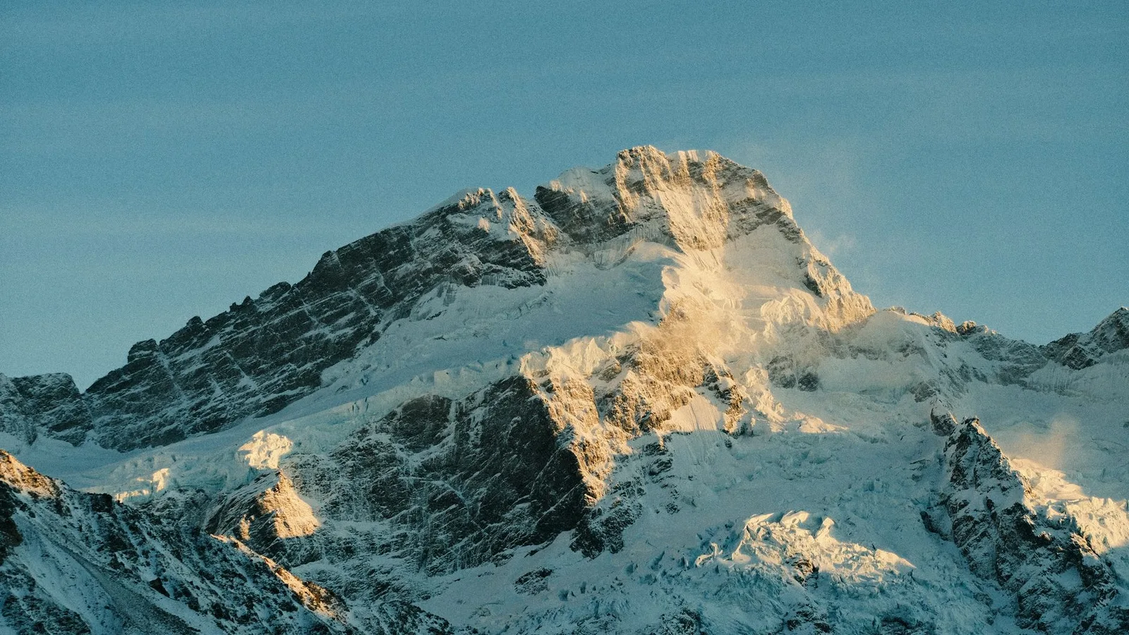
Mount Everest Is Still Growing — and a Hijacked River 47 Miles Away Is Pushing It Up
A 2024 study in Nature Geoscience found the world's tallest mountain gains roughly 2mm a year from an ancient river 'piracy' event on top of the tectonic collision that built it in the first place.
Records & People
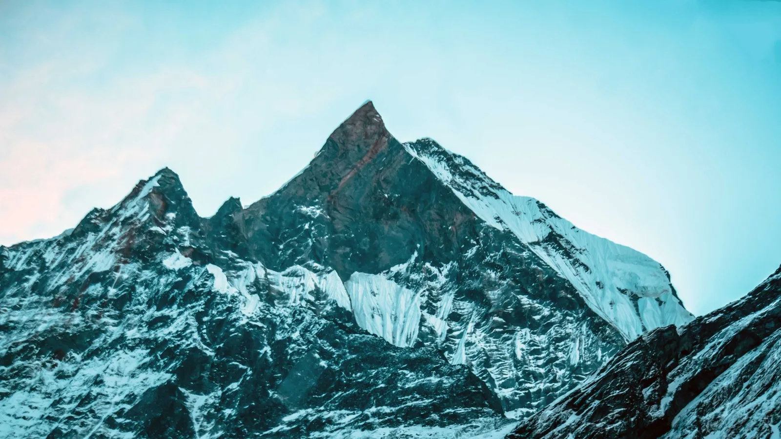
There Are 450-Million-Year-Old Seashells Near the Top of Mount Everest — Because It Used to Be Seafloor
The rock forming Everest's summit pyramid is marine limestone packed with ancient sea-creature fossils, laid down in a tropical ocean long before the Himalaya existed.
Records & People
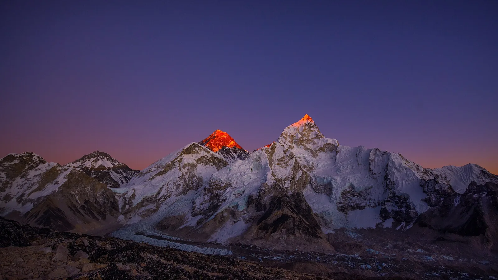
Nobody tells you Everest can only be climbed a few days a year, and the jet stream is why
For most of the year a jet stream sits on the summit of Everest with winds over 250 km/h. It lifts north for a few weeks each May when the monsoon pushes it aside, and that short calm is the only time the mountain is climbable.
Records & People
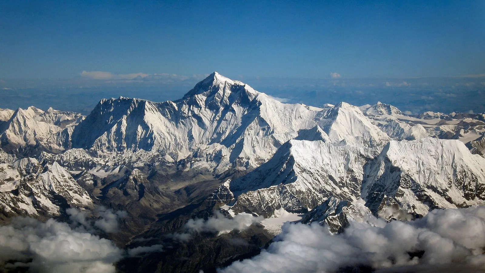
Mount Everest Was Named After a Man Who Never Saw It and Asked Not to Be
Sir George Everest never set foot near the mountain, never wanted his name on it, and wasn't even the one who proved it was the tallest on Earth.
Latest from the desk
World Destinations
Underrated Alternatives to Overtouristed Destinations in 2026: Swap the Crowd for Its Quieter Twin
Skip the ticketed queues at Venice, Santorini, Bali and Dubrovnik. Here are the quieter, cheaper equals — from Bologna and Naxos to Kotor, the Faroes and Nepal's Manaslu — that deliver the same experience with a fraction of the crowds.

Deals & Routes
Budget vs Full-Service Airlines in 2026: Which Is Really Cheaper Once You Add It All Up?
The headline low fare rarely tells the truth. Here is how budget and full-service airlines really compare on bags, seats, food, changes and connections in 2026 — and when each one is the smarter buy.

Gear & Tech
Do You Need an RFID-Blocking Wallet in 2026? The Honest Answer on Contactless-Card Skimming
Contactless "skimming" from someone brushing past you is rare and overhyped. Here is what actually threatens your card abroad — and the free five-minute setup that beats any gadget.