
The Man Who Proved Everest Was the World's Tallest Mountain — Without Ever Seeing It
In 1852, a Bengali mathematician working from a survey office in Calcutta calculated the height of a peak he was forbidden from ever approaching — and gave Mount Everest its place in history.
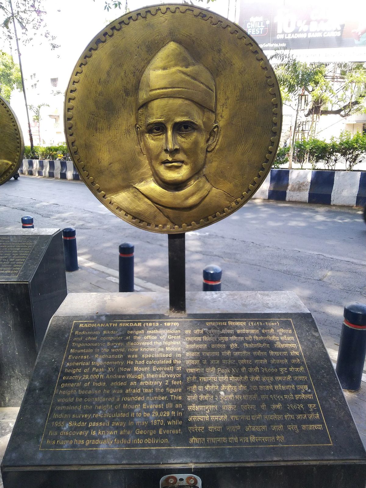
At a glance
- Published
- TopicRecords & People
- Verified againstWikipedia
- Treks coveredEverest Base Camp Trek — 12 Days, Everest View Trek — 7 Days, Gokyo Ri Trek — 11 Days
In 1852, in a survey office in Calcutta, a 39-year-old Bengali mathematician named Radhanath Sikdar worked through a stack of trigonometric observations and arrived at a number: 29,000 feet. He had just calculated that a barely-named summit, recorded in the British survey ledgers only as "Peak XV," was the highest point on the surface of the Earth. He had never seen it. He never would.
Key facts
- Sikdar joined the Great Trigonometrical Survey of India in 1831, aged 18, as a "computer" — a human calculator
- Peak XV was observed from six stations in the Indian Terai, between 150 and 240 km from the mountain
- His 1852 calculation: 29,000 feet (8,839 m) — officially announced in March 1856
- The peak was later renamed Mount Everest, after Sikdar's former superior, Sir George Everest
Nepal was closed to foreigners for almost the entire 19th century, and Tibet was little more open — so no British surveyor could walk up to Peak XV, plant a theodolite nearby, and measure it directly, the way the Survey measured most Himalayan peaks. Instead, teams set up six observation stations scattered across the malarial lowlands of the Terai, in British India, each more than 150 kilometres from the mountain — the closest, at Sandakphu, still around 170 km away. Between November 1849 and January 1850, surveyors at each station recorded the tiny angle Peak XV made above the horizon. It was Sikdar's job, as the Survey's newly promoted Chief Computer, to turn those angles — plus corrections for the curvature of the Earth and the bending of light through miles of Himalayan air — into a height.
An inconvenient round number
Sikdar's arithmetic said 29,000 feet exactly. His superior, Surveyor-General Andrew Waugh, reportedly worried that a number that round would look like a rough estimate rather than a precise calculation — so he added two feet before making it official, announcing the height as 29,002 feet in March 1856. It was the first time anyone had stated, with real evidence, that this peak beat Kangchenjunga — until then assumed to be the world's highest — and every other mountain on Earth.
| Year | Measurement | Height |
|---|---|---|
| 1852 | Sikdar's original calculation | 8,839 m |
| 1856 | Waugh's official announcement (+2 ft) | 8,840 m |
| 1955 | Revised Indian survey | 8,848 m |
| 2020 | Joint Nepal–China survey (current) | 8,848.86 m |
Waugh named the peak after his own predecessor, Sir George Everest — reportedly over Everest's own objection, since it broke the Survey's usual practice of keeping a local name where one was known. Sikdar had worked directly under George Everest for over a decade before Everest's 1843 retirement, then under Waugh; it was Sikdar's mathematics, not either Surveyor-General's, that actually found the mountain. Recognition came slowly and incompletely: an 1875 reprint of the Survey's technical manual dropped his name from chapters he had written, which one contemporary newspaper called "robbery of the dead." A German scientific society made him a corresponding member in 1864. India issued a commemorative postage stamp in his honour in 2004 — 152 years after his calculation, and long after the mountain he found had become the most famous on the planet.
What this means for you
The mountain Sikdar computed from 170 kilometres away, in a country he could never enter, is now a two-week walk for anyone reasonably fit who can get a flight to Kathmandu and a trekking permit. That gap — from "uncrossable" to "bookable" — is the entire story of Nepal tourism in one mountain. For more on the summit itself, see our piece on the marine fossils found just below Everest's peak.
Modern satellite and GPS survey work has since confirmed Sikdar right to within about 30 metres — a margin of error of roughly 0.1%, worked out with nothing but a theodolite, a notebook, and six sightlines from more than a hundred miles away.
Source: Wikipedia, cross-referenced with The Wire Science.
Cover photo: DesiBoy101 via Wikimedia Commons (CC BY 4.0).
Still running this season
Everest Base Camp Trek — 12 Days is running normally
NMA-certified local guides, transparent pricing, 5,000+ treks since 1998. Message us your dates and we'll sort the permits, lodges and logistics — reply within 24 hours, no obligation.
Popular Nepal treks
All treks →
Related coverage
Records & People
Mount Everest Is Still Growing — and a Hijacked River 47 Miles Away Is Pushing It Up
A 2024 study in Nature Geoscience found the world's tallest mountain gains roughly 2mm a year from an ancient river 'piracy' event on top of the tectonic collision that built it in the first place.
Records & People
Mount Everest Was Named After a Man Who Never Saw It and Asked Not to Be
Sir George Everest never set foot near the mountain, never wanted his name on it, and wasn't even the one who proved it was the tallest on Earth.
Records & People
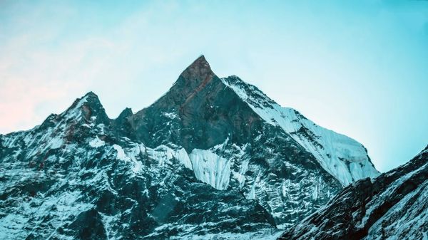
There Are 450-Million-Year-Old Seashells Near the Top of Mount Everest — Because It Used to Be Seafloor
The rock forming Everest's summit pyramid is marine limestone packed with ancient sea-creature fossils, laid down in a tropical ocean long before the Himalaya existed.
Safety & Advisories
Can You Trek to Everest Base Camp at 82? What the Record and the Research Actually Say
There is no legal or medical age cutoff on the trail to Everest Base Camp, and the current record holder just proved it at 82.
Latest from the desk
Records & People
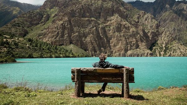
Everyone Calls This Nepal's Deepest Lake. A Government Survey Says It Isn't.
Phoksundo's turquoise water and no-fishing custom are real, but Nepal's own hydrology surveys put the actual depth record on a different lake entirely.
Flights & Access
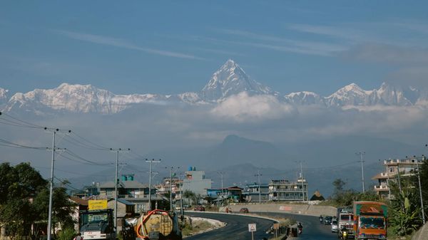
Pokhara Just Got Its First Real International Flight, Three Years After the Airport Opened
flydubai starts daily Dubai–Pokhara flights on 23 September 2026, the first scheduled international airline to serve Nepal's trekking capital since its $216 million airport opened in 2023.
Festivals & Events
Dashain 2027 tika is Saturday 9 October, twelve days earlier than this year
Dashain 2027 runs 30 September to 14 October, tika on Saturday the 9th. Bhai Tika is 31 October. Why the early date matters for an autumn trek.