
Nepal Has 21 Glacial Lakes Scientists Call Time Bombs, and One Already Burst This Year
A region-wide survey has flagged 47 Himalayan lakes as potentially dangerous, 21 of them inside Nepal, and 2026 has already shown what happens when one lets go.
At a glance
- Published
- TopicSafety & Advisories
- Verified againstUNDP Climate Change Adaptation (ICIMOD/UNDP report)
- Treks coveredAma Dablam Base Camp Trek — 10 Days, Everest Base Camp Trek — 14 Days, Gokyo Ri Trek — 11 Days
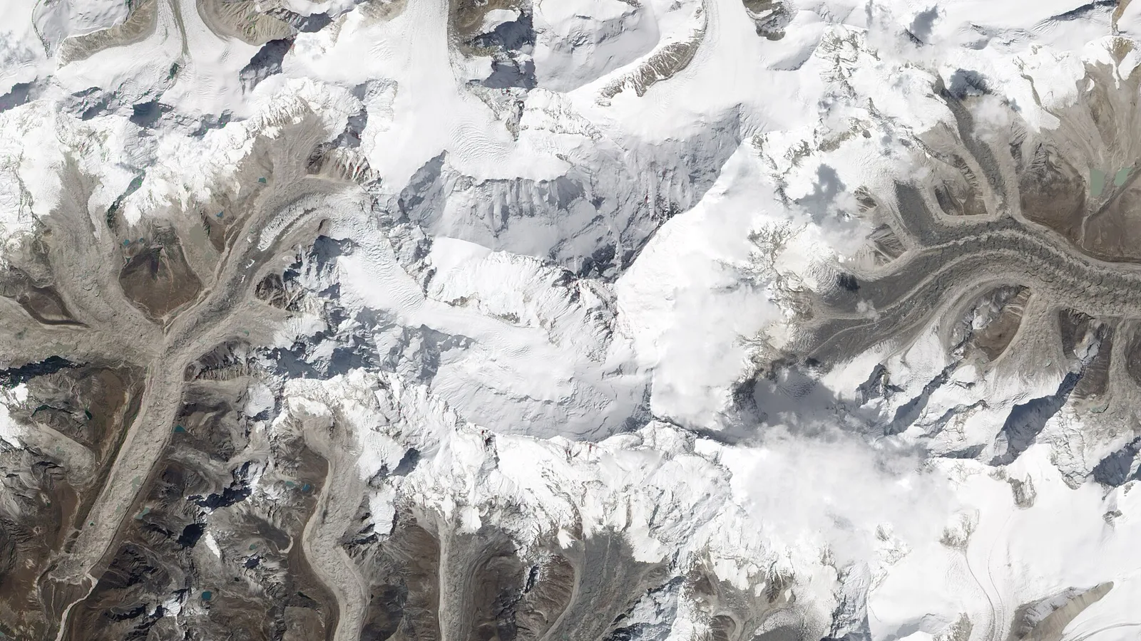
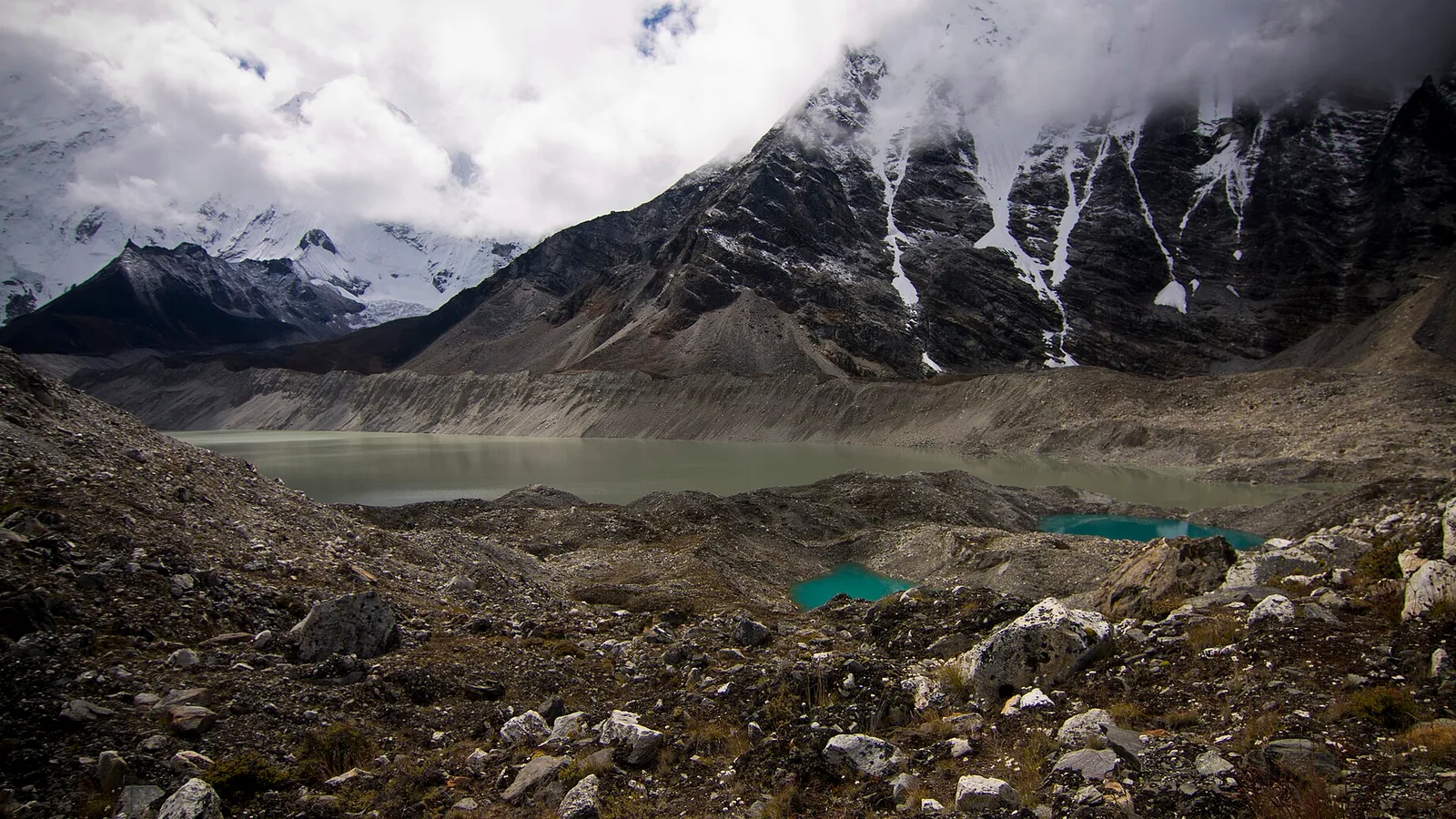
Every trekker who has stood in Dingboche and looked up the side valley toward Island Peak has walked within a few kilometres of Imja Tsho. It barely existed a century ago — it was a scatter of meltwater ponds on the Imja Glacier. Today it is over a kilometre long and among 21 lakes inside Nepal that scientists have formally classified as potentially dangerous glacial lakes, capable of bursting their moraine walls and sending a wall of water, rock and ice down the valleys below.
Key facts
- A joint assessment by ICIMOD and Nepal's government has classified 47 glacial lakes across the eastern Himalaya as potentially dangerous, with 21 of them inside Nepal
- Nepal has recorded at least 26 glacial lake outburst floods (GLOFs) since 1977
- Engineers lowered Imja Tsho by 3.4 metres in 2016, draining roughly 4 million cubic metres of water
- Four districts — Solukhumbu, Sankhuwasabha, Dolakha and Sindhupalchok — hold more than 85% of the region's GLOF risk
The mechanism is simple and the physics are not forgiving. As glaciers retreat, they leave lakes dammed only by loose piles of rock and ice debris called moraine — not bedrock. An avalanche, a landslide, or even a chunk of hanging glacier calving into the water can send a wave over the dam. Once the moraine breaches, the lake empties in minutes, not hours. The 1985 collapse of Dig Tsho lake, triggered by an ice avalanche, released an estimated 5 million cubic metres of water in under an hour and destroyed the almost-finished Namche hydropower plant six kilometres downstream.
2026 has already put the theory back on front pages. In July 2025, ICIMOD's own analysis attributed a destructive flood on the Bhote Koshi river to the sudden collapse of a superglacial lake on a glacier across the border in Tibet — a textbook GLOF. Then, on 26 August 2026, a catastrophic flash flood tore through the Rasuwa–Tibet border area, and while investigators have not yet confirmed a single cause, the pattern — a mountain river turning from a trickle to a wall of debris with almost no warning — is exactly what a glacial lake failure looks like.
The lakes on the watch list
| Lake | District | Current status |
|---|---|---|
| Tsho Rolpa | Dolakha | Partially drained in 2000, now expanding again to 1.6 km² |
| Imja Tsho | Solukhumbu | Lowered 3.4m in 2016; early-warning sirens installed downstream |
| Thulagi | Lamjung | Rapidly expanding, unmitigated |
Nepal has not ignored the problem. In 2000, engineers cut a 70-metre canal into Tsho Rolpa's moraine dam and lowered the lake by three metres — an operation that, at the time, was one of the highest-altitude engineering projects on Earth. In 2016, a joint Nepal government, UNDP and Global Environment Facility team spent months siphoning Imja Tsho down by another 3.4 metres and installed a community early-warning system in the villages below. Both projects bought time rather than solved the problem — Tsho Rolpa has already re-expanded past its drained level, because the glacier feeding it keeps retreating.
What this means for trekkers
What this means for you
A dangerous lake is not a reason to cancel an Everest or Annapurna region trek — the risk is specific to particular valleys, not the whole Himalaya, and none of the watch-listed lakes sit directly on the standard trekking trails to Everest Base Camp or through Gokyo. But it is a good reason to trek with an operator who tracks river and trail advisories in real time rather than one who only checks the season chart. If your route runs near Chukhung or the upper Imja valley, as our Ama Dablam Base Camp trek does, ask your guide what the current lake status is before you go — it is a five-minute conversation, and any operator with people on the ground should be able to answer it without hesitating.
The honest long-term picture is that this list is not shrinking. Warmer decades mean more meltwater and more lakes, faster than engineers can drain them one at a time. For now, the system that actually saves lives is the boring one: known hazard zones, community sirens, and trekking operators and guides who treat a distant flood report as a reason to check the trail ahead, not just a headline.
Sources: ICIMOD and UNDP joint assessment of potentially dangerous glacial lakes in the Nepal, Tibet and India river basins; The Himalayan Times reporting on the Imja Tsho water-level lowering project.
Cover photo: Jesse Allen via Wikimedia Commons (Public domain).
Still running this season
Ama Dablam Base Camp Trek — 10 Days is running normally
NMA-certified local guides, transparent pricing, 5,000+ treks since 1998. Message us your dates and we'll sort the permits, lodges and logistics — reply within 24 hours, no obligation.


Popular Nepal treks
All treks →


Related coverage

Climate & Environment
Nepal Has Mapped 2,070 Glacial Lakes. The One That Burst Was Not On the List.
A new ICIMOD and UNDP inventory counts 3,624 glacial lakes and flags 47 as dangerous — 42 of them in the Koshi basin. The lake that killed at least 165 people in August was not among them, because it did not exist the day before.
Climate & Environment
Glacial lake outburst floods are Nepal's fastest-growing mountain hazard, here's why
As Himalayan glaciers retreat they leave meltwater lakes dammed by loose moraine — and when a dam fails, the flood tears down the valley. Here is what a GLOF is, why they are increasing, and what Nepal is doing about it.
Festivals & Events
Losar 2026: Nepal's Tibetan New Year and Its Masked Monastery Dances
The Tibetan-Buddhist New Year of Nepal's high country, explained.
Climate & Environment
Soot Is Darkening Himalayan Snow and Speeding Its Melt, 2026 Science Shows
Soot darkens Himalayan snow so it absorbs more sunlight and melts faster — a second, faster-acting driver of glacier loss alongside warming, and the one the region could switch off within weeks.
Latest from the desk
Records & People
Cho Oyu and Shishapangma are closed again this autumn and every 14-peak climber is funnelled into Nepal
The China-Tibet Mountaineering Association has kept Cho Oyu and Shishapangma shut to foreign teams for autumn 2026, and Manaslu absorbs the whole overflow.
Safety & Advisories
The US travel advisory for Nepal now has a do-not-travel zone, and it is far smaller than you think
Washington kept Nepal at Level 2 on 31 August and added a Level 4 do-not-travel zone covering only the Rasuwagadhi–Timure–Syabrubesi corridor in Rasuwa.
Breaking Flights & Access
The Kathmandu to Pokhara highway is cut at Krishnabhir and it could be shut for a month
The Prithvi Highway collapsed at Krishnabhir in Dhading on 30 August and the Kathmandu–Muglin road is shut both ways. Police estimate a month to reopen.