
A Teen Followed an AI Hiking Route Onto a Climbing Wall and Needed a Helicopter, Here’s What Every Trekker Should Learn
A 16-year-old hiker was airlifted off Crown Mountain near Vancouver after an AI-planned route ended at a climbing route. Here is how to use apps without trusting them blind.
At a glance
- Published
- TopicSafety & Advisories
- Verified againstCTV News
- Treks coveredEverest Base Camp Trek — 12 Days
A teenager had to be lifted off a cliff by helicopter near Vancouver after an AI chatbot planned a hike that ended at the foot of a steep climbing route. The lesson is not to avoid AI, but never to treat a route it gives you as verified. Nobody has walked it, and nobody will be there when the trail runs out.
Key facts
- The hiker was 16, on Crown Mountain near Grouse Mountain, North Vancouver
- North Shore Rescue was called just before 3:30 pm; he was flown out about 6:30 pm
- The helicopter could not reach the wall, so two rescue technicians were lowered above him
- Reports date the trip to 3 or 4 October 2026
What happened on Crown Mountain?
The teen rode the Grouse Mountain gondola around 8 am and asked an AI chatbot to plan a route to Crown Mountain, according to CTV News and other reports. The route took him through Crown Pass, up through Crater Slabs and Crown Couloir, and then off the walking trail. He ended up at the base of Widowmaker Arete, a steep climbing route, and called for help.
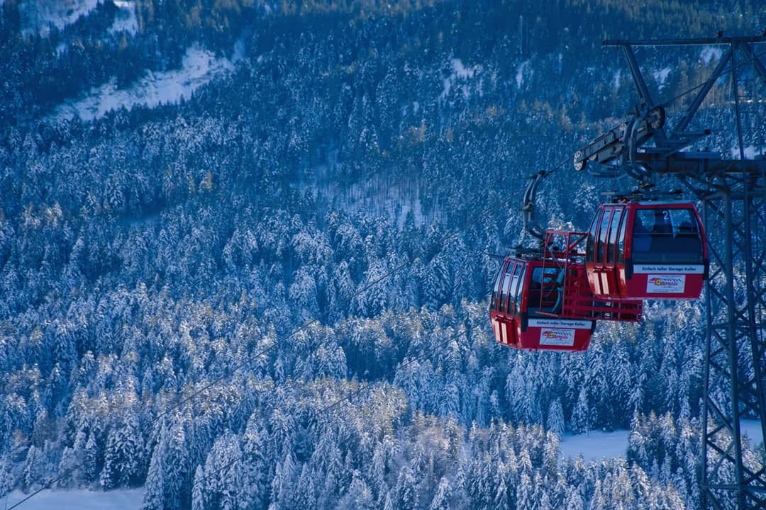
North Shore Rescue received the call just before 3:30 pm. The helicopter could not get close enough to the wall, so two rescue technicians were lowered to an area above him. He was flown out at about 6:30 pm. Outlets differ on whether the chatbot was named by rescuers; reports identify it, but North Shore Rescue itself did not.
| Time | Event |
|---|---|
| ~8:00 am | Rides the gondola up and starts the route |
| Just before 3:30 pm | Calls North Shore Rescue |
| Afternoon | Two technicians lowered above him |
| ~6:30 pm | Flown out |
What did the rescuers say?
North Shore Rescue search manager Paul Markey urged hikers to research terrain and get training rather than rely on AI route planning, pointing out that an AI tool has never been on that route or in the outdoors. The teen said he did not blame the chatbot, calling it his own mistake, and that he had also used Google Maps and AllTrails. That detail matters: it was several tools, none of them checked against the ground.
Does the same risk apply in Nepal?
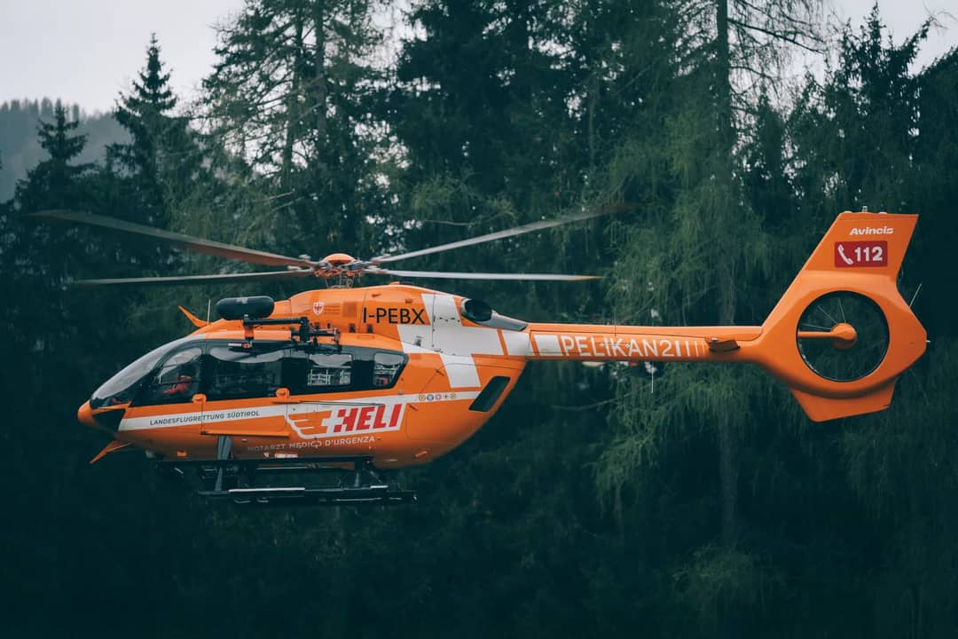
Yes, and the consequences are bigger. On Crown Mountain the helicopter arrived within hours, but in the Himalaya a rescue can take a day or more and can cost thousands. A wrong turn above 4,000 m also comes with altitude and cold, not only a cliff. Most Nepal trails are well marked and busy in autumn, but side trails, landslide detours and flood-damaged sections change fast, and a map or chatbot may not know.
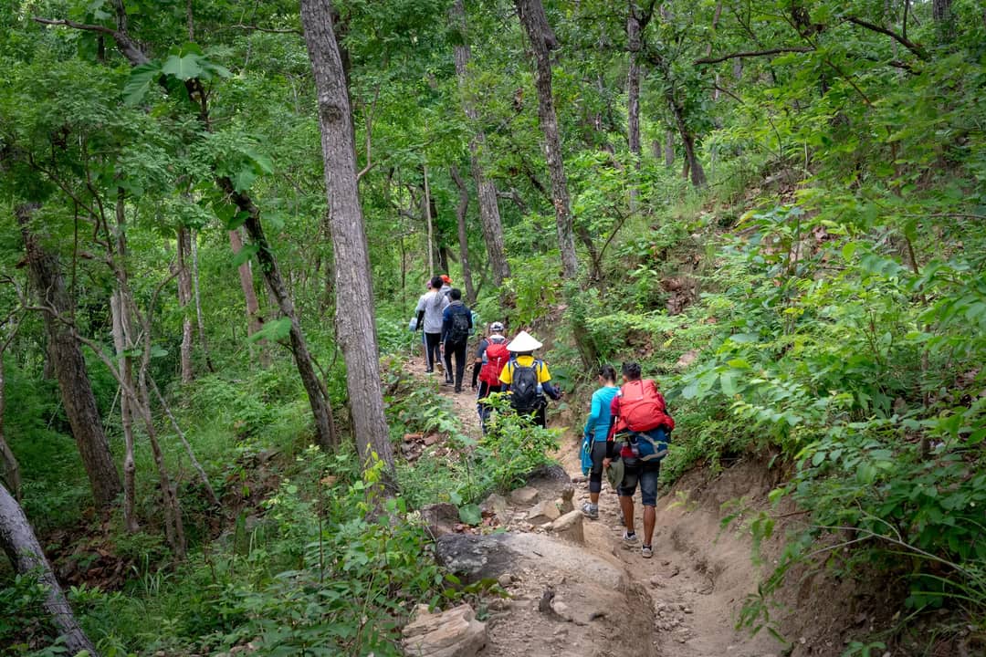
This is the main reason Nepal requires licensed guides on most trekking permits, and why our guides read trail conditions each morning. A guide is the verified source an AI route cannot be.
How should you use AI and apps for a hike?
Use them for ideas, then check everything against sources that a person is accountable for. The checks below take ten minutes and would have changed this outcome.

| Check | Why |
|---|---|
| Match it to an official or club trail map | Confirms the path exists |
| Read recent trip reports | Catches closures and washouts |
| Look for steep or “climbing” terms | Signals terrain beyond hiking |
| Tell someone your turnaround time | Starts a search sooner |
| Turn back when the trail disappears | The route is wrong, not you |
What this means for you
If a route needs hands, ropes or a gully you cannot see the end of, it is not a walk. Turn around early. For a trek in Nepal, do not rely on an app alone: walk with a licensed guide and get a local briefing the night before each stage. Our 12-day Everest Base Camp trek is led by NMA-certified guides who check the trail daily.
Cover photo: Ivor Forrest via Pexels (Pexels License). Section photos: Alan Kabeš via Pexels (Pexels licence); Quirin Schmid via Pexels (Pexels licence); eberhard grossgasteiger via Pexels (Pexels licence); Quang Nguyen Vinh via Pexels (Pexels licence); Tima Miroshnichenko via Pexels (Pexels licence).
Still running this season
Everest Base Camp Trek — 12 Days is running normally
NMA-certified local guides, transparent pricing, 5,000+ treks since 1998. Message us your dates and we'll sort the permits, lodges and logistics — reply within 24 hours, no obligation.
Popular Nepal treks
All treks →
Related coverage

Safety & Advisories
US measles cases have passed last year’s total, and what to check before you fly abroad
3,471 cases by 17 September, against 2,289 in all of 2025. The CDC wants every traveller aged six months and up vaccinated two weeks before leaving.
Safety & Advisories
A Solo Traveller Missing for 37 Days After Nepal’s Floods Just Walked Into His Embassy, and What It Teaches Every Trekker
A Malaysian travelling alone vanished near Rasuwa on 25 August and turned up safe on 2 October. Here is what his case says about the 54 still missing.
Money & Insurance
Mount Fuji will now bill you for your own rescue helicopter, here’s how much and when it starts
Yamanashi will bill climbers about 8,000 yen per five minutes of helicopter time from 2027 if they skip the required climbing plan on Mount Fuji.
Safety & Advisories
No Atlantic hurricane yet this year, and what it means for an autumn Caribbean trip
Six named storms, zero hurricanes, the latest start of the satellite era. NOAA still says one storm is enough, and the peak runs into October.
Latest from the desk
Safety & Advisories
If Your Schoolies Trip Is Overseas, Methanol Poisoning Can Take 12 to 24 Hours to Show, Here’s What to Do
Smartraveller says methanol poisoning can look like a bad hangover for 12–24 hours. Here’s what Australian school leavers and parents should know before flying.
Safety & Advisories
Schoolies Is Weeks Away, and the Insurance Gap Smartraveller Warns About Can Run to $100,000
Smartraveller's schoolies advice says no insurance can mean paying costs up to $100,000. Here is what that covers, what it doesn't, and what parents should check.

Breaking Flights & Access
Airlines Are Pausing Riyadh Flights After the Houthi Airport Attacks, Here’s What You’re Owed and What the UK Says
Lufthansa and Air India have paused Riyadh flights and the FCDO warns against all but essential travel there. Here is your refund right, and what you won’t get.