
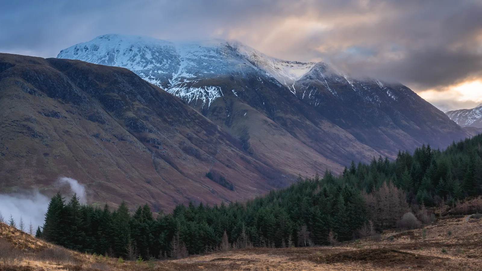
The short version
Most people need 6 to 9 hours for Britain's highest mountain. What the summit is like, what to carry, and the two bearings that keep you off Five Finger Gully.
Most people take 6 to 9 hours to climb Ben Nevis and get back down by the Mountain Track, the standard route from Glen Nevis. The walking is not technical, but the mountain is Britain’s highest at 1,345 metres, the summit can be cold, wet and snowy even in summer, and the descent in cloud has a well-known trap: Five Finger Gully. Allow a full day, carry a map and compass, and know the two bearings off the top.
Our guides lead treks to four times this height, and Ben Nevis still deserves respect. More than 130,000 people reach its summit every year, according to the John Muir Trust, which looks after the upper mountain. Most have a brilliant day. The ones who do not usually made the same two or three decisions.
- Plan for 6 to 9 hours on the Mountain Track, and start early enough to finish in daylight.
- Pack for winter at the top, even in summer: warm, wind and waterproof layers.
- In cloud, descend on 231° for 150 metres, then 282° to avoid Gardyloo and Five Finger gullies.
- Take your rubbish home. The summit emergency shelter was found full of it this month.
How long it really takes, and why the estimates vary
Mountaineering Scotland puts the Mountain Track at 6 to 9 hours for the round trip. Where you land in that range depends mostly on your fitness and the weather, not on how experienced you feel. The path climbs almost the whole height of the mountain from the floor of Glen Nevis, so this is a long, steady ascent rather than a short, sharp one. The descent is hard on tired knees and usually takes longer than people expect.
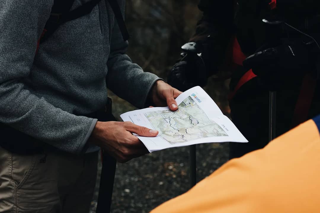
A simple rule: if a long day with well over a kilometre of climbing is not something you do often, plan for the top of that range. And in autumn, work back from sunset. The clocks go back on 25 October, and by early November it is dark before 5pm in the Highlands.
The summit is a different season from the car park
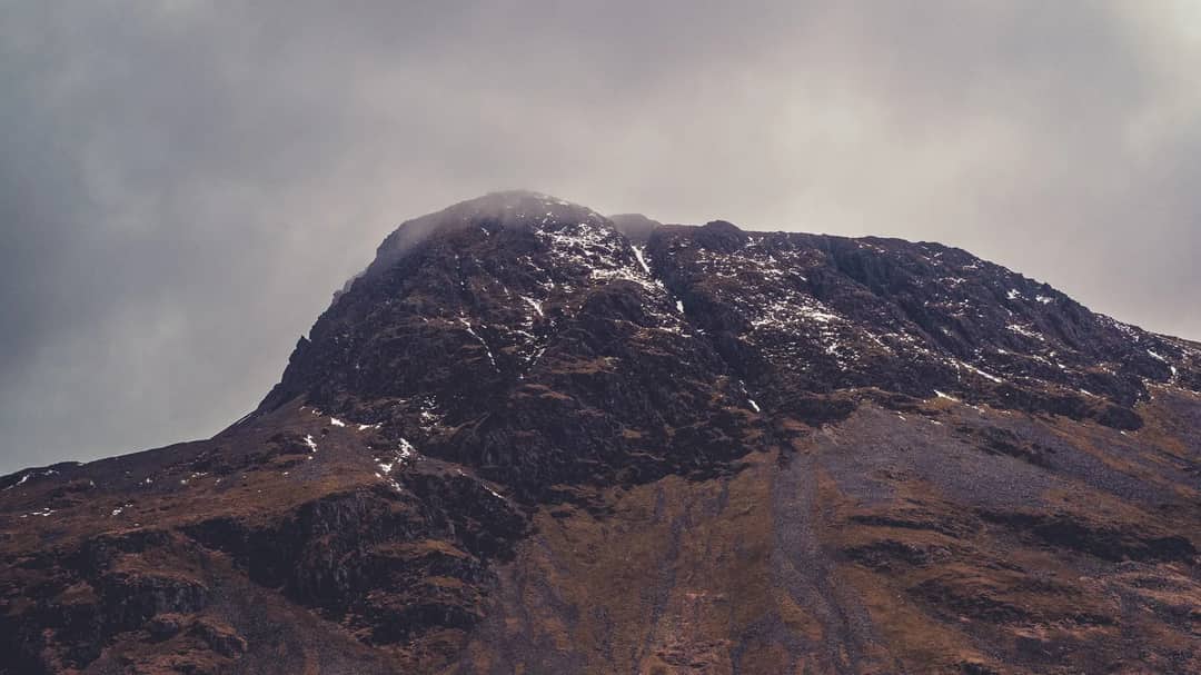
Mountaineering Scotland’s guidance is blunt: “even in summer, the summit and higher slopes of Ben Nevis can be very cold, wet, windy and covered in snow.” In winter, and into early summer while snow still covers the upper mountain, the plateau needs an ice axe, crampons and the skills to use them. Standing in sunshine in Fort William tells you almost nothing about conditions on top.
What to carry, from Mountaineering Scotland’s list
- Warm, windproof and waterproof clothing, including a hat and gloves
- Proper hiking boots
- A map and compass, and the skill to use them
- At least two litres of fluid per person, plus high-energy food
- A torch, a first aid kit and an emergency shelter
The descent trap everyone should know about
The most dangerous part of the day is often the way down, in cloud, from the summit plateau. The plateau is broad and featureless, and it is edged by the tops of steep gullies. Two matter most. Gardyloo Gully cuts in close to the summit. Five Finger Gully, lower down, has what Mountaineering Scotland calls “deceivingly gentle upper slopes but which has been scene of many accidents.” Walk the natural-looking line in thick cloud and it can lead you straight into it.
The fix is two compass bearings, published by Mountaineering Scotland:
| Step | From | Bearing | Distance | Why |
|---|---|---|---|---|
| 1 | Summit cairn | 231° | 150 metres | Takes you safely past Gardyloo Gully |
| 2 | End of step 1 | 282° | Until you reach the zig-zags | Keeps you off Five Finger Gully and onto the Mountain Track |
Practise taking a bearing before the trip, not on the summit in the wind. Phone apps help, but batteries die fast in the cold, and a phone is not a compass once the screen is wet.
Respect the summit shelter, because someone may need it
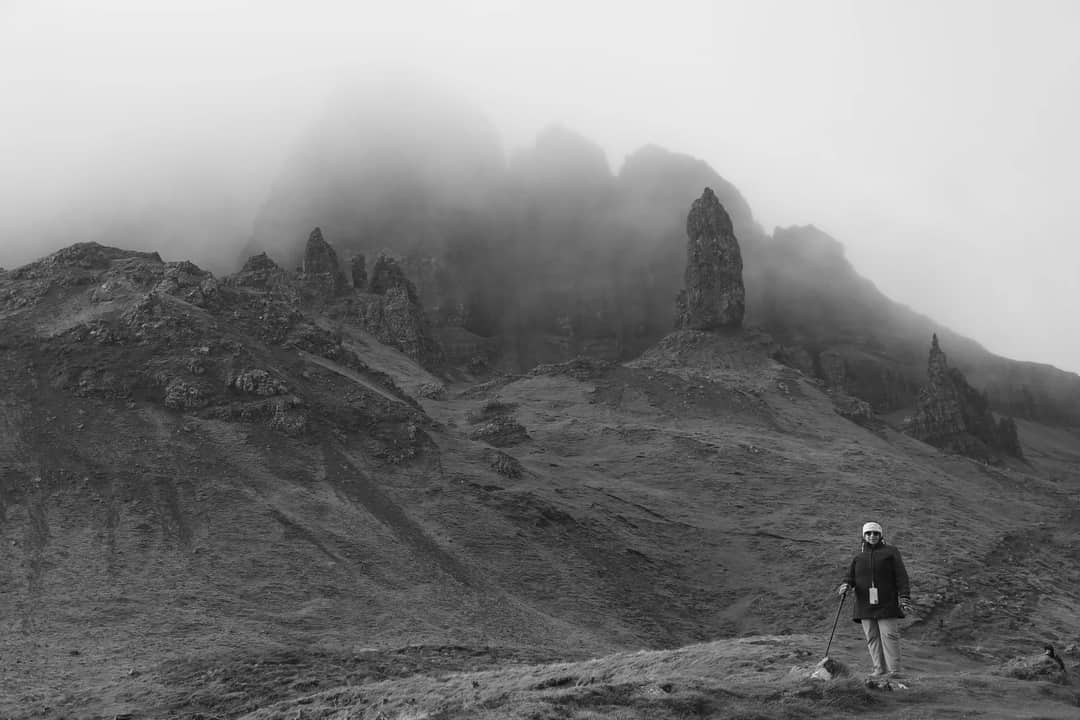
The small emergency shelter on the summit is there for injured or exhausted walkers caught out by the weather. This month it was found littered with beer cans, cigarette packets, an abandoned rucksack and rotting food, and Lochaber MSP Andrew Baxter urged visitors to “respect the mountain” and take their waste home. Leave it clean. It is the only roof on the mountain.
Good choice. It is honest training for long days on your feet. For scale, Lukla, where our Everest Base Camp trek begins, sits at 2,860m, more than twice the height of the Ben, and base camp is at 5,364m. Our 14-day trek builds in two acclimatisation days and a licensed guide. US$1,850 solo, from US$1,350 each in a group of eight or more.
See the itinerary & price →The verdict
Ben Nevis is a superb day out for any reasonably fit walker, and a serious mountain for anyone who treats it as a stroll. Start early, pack for winter at the top whatever the season, carry a map and compass, and memorise 231 then 282. Do those four things and the Ben is one of the great walks in Britain.
Frequently asked questions
How long does it take to climb Ben Nevis?
Mountaineering Scotland estimates 6 to 9 hours for the round trip on the Mountain Track, the standard route from Glen Nevis. Fitness, weather and how long you stay on top make the difference.
How high is Ben Nevis?
1,345 metres (4,413 feet). It is the highest mountain in the United Kingdom.
Can a beginner climb Ben Nevis?
A fit beginner can, on the Mountain Track in good summer conditions, but it is a long day with a big climb. Go with someone experienced if you cannot navigate with a map and compass, and turn back if cloud and wind build.
What is Five Finger Gully?
A steep gully on the Glen Nevis side of the mountain whose gentle-looking upper slopes lead walkers off the correct descent in cloud. It has been the scene of many accidents. The 231° then 282° descent bearings are designed to avoid it.
Is there snow on Ben Nevis in summer?
Often, yes. Snow can linger on the upper mountain into early summer, and the summit can be cold, wet, windy and snow-covered in any month.
What should I carry up Ben Nevis?
Warm, windproof and waterproof clothing, proper boots, a map and compass, at least two litres of fluid, high-energy food, a torch, a first aid kit and an emergency shelter.
Keep reading
The real risks behind trail deaths, and the habits that prevent them.
How much daylight Fort William has left, month by month.
Darkness, cold, hunters and bears, and one fix for each.
Himalayan altitudes measured against peaks you know.
Where to walk after you have done the Ben.
Ready to take the next step up? Contact us and our guides will plan your first Himalayan trek.
Sources: Mountaineering Scotland, “Climbing Ben Nevis” (route time, kit list, descent bearings); John Muir Trust, Ben Nevis (summit visitor numbers); The Scotsman and STV News on the summit shelter, September 2026. Photos via Pexels: Sonny Vermeer (cover), Vintage Laka, bruno lucas, Maël Balland.
Written by
Dawa SherpaPokhara-based, NMA-certified trekking guides. We’ve led 5,000+ treks across the Annapurna and Everest regions since 1998 — every word here comes from the trail. More from this author →
Share this article
Ready to Trek?
From reading about it to standing on it
Our Pokhara-based guides have been doing this since 1998. Tell us your dates and fitness level — we'll build your perfect itinerary. Free, no obligation.
Why trek with our licensed agencyMore guides like this
Popular trips to consider
View all treks & toursFree Trekker’s Insider Guide
Permits, packing lists, cost breakdowns — no fluff.
We send one useful email. You can unsubscribe anytime.