
The World Has Three Different 'Tallest Mountains' — and Everest Only Wins One
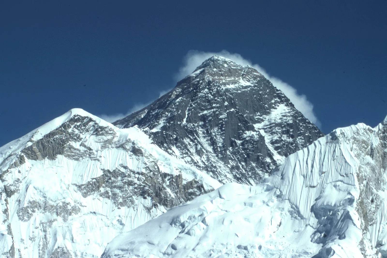
Everest wins on height above sea level. Measure base-to-summit, or from the centre of the Earth, and two other mountains take the title instead.
At a glance
- Published · updated
- TopicRecords & People
- Verified againstScienceBlog.com
- Treks coveredEverest Base Camp Helicopter Tour — 1 Day, Everest Base Camp Trek — 14 Days, Gokyo Ri Trek — 11 Days
Ask anyone which mountain is the tallest on Earth and they will say Mount Everest without hesitation. They are right — and also, depending on how you define ‘tallest’, completely wrong. Measure by three different, equally legitimate methods and you get three different champions: Everest, a Hawaiian volcano most of which sits underwater, and an Ecuadorian peak more than 2,500 metres shorter than Everest that nonetheless pokes deeper into space.
Key facts
- Everest’s official summit height is 8,848.86 metres above sea level, confirmed by a joint Nepal–China survey completed in 2020.
- Hawaii’s Mauna Kea rises just 4,207.3 metres above sea level — but measured from its true base on the Pacific seafloor it stands 10,211 metres tall, about 1.36 km more than Everest.
- Ecuador’s Chimborazo summit, at only 6,268 metres above sea level, sits roughly 2,100 metres farther from the centre of the Earth than Everest’s summit.
Everest wins the measurement everyone actually means
Highest point above sea level is the definition almost everyone has in mind, and on that one Everest is untouchable. It is the number climbers train for, pay permit fees for and risk their lives for.
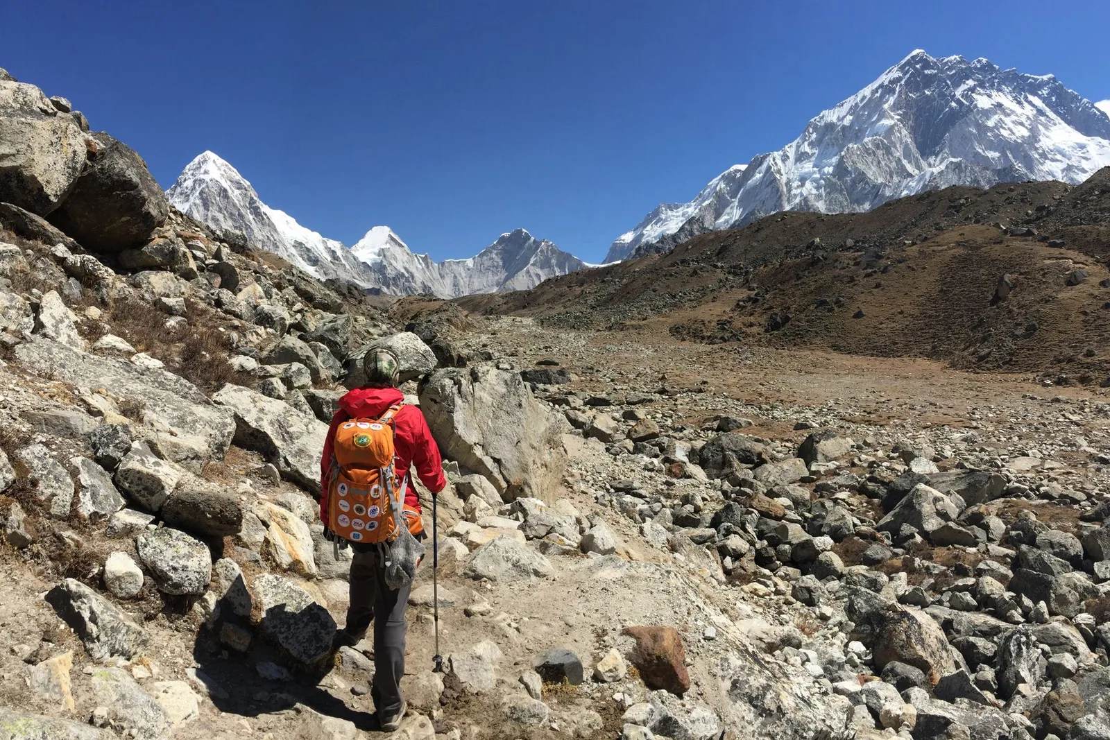
That figure, 8,848.86 metres, came out of a years-long joint Chinese–Nepali resurvey completed in 2020, replacing the long-used 1955 Survey of India figure of 8,848 metres. Nepal’s negotiators had insisted the true summit height be confirmed jointly rather than taken from either country’s older data. It is the number written into Nepal’s permit paperwork and into every itinerary that ends at Everest Base Camp — itself at 5,364 metres, looking up at a summit still nearly 3.5 vertical kilometres higher.
Why a shorter mountain can win
Because sea level is a convention, not a ruler. It is a convenient human reference point measured along the geoid, Earth’s average sea-surface shape, and two other measurements ignore that convention entirely.
Both of them dethrone Everest. Neither of them is a trick question or a technicality — they are simply answers to a different question about the same planet.
| Mountain | Above sea level | Wins by |
|---|---|---|
| Mount Everest, Nepal/Tibet | 8,848.86 m | Highest point above sea level |
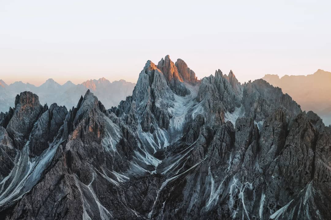
| Mauna Kea, Hawaii, USA | 4,207.3 m (10,211 m base-to-summit) | Tallest base-to-summit — most of it is underwater |
| Chimborazo, Ecuador | 6,268 m | Farthest point from Earth’s centre — closest point to space |
Mauna Kea is taller by a kilometre, and mostly underwater
Measured from base to summit rather than from sea level, Mauna Kea beats Everest by more than a kilometre. Its trick is straightforward: it is a volcano built up from the floor of the Pacific Ocean, roughly six kilometres below the surface.
Only its top 4,207.3 metres break the waterline. Add the submerged base back in and it totals 10,211 metres from root to summit. Nothing about the mountain is hidden or disputed — the majority of it is simply in a place nobody measures from.
Chimborazo is closer to space because the Earth bulges
Chimborazo’s summit sits about 2,100 metres farther from the centre of the Earth than Everest’s, despite being 2,580 metres shorter by the sea-level yardstick. The reason is the shape of the planet rather than the size of the mountain.
Earth is not a perfect sphere. It is an oblate spheroid, bulging outward at the equator because of its own rotation: the equatorial radius of 6,378.137 km is about 21.4 km larger than the polar radius of 6,356.752 km. Chimborazo sits just over a degree south of the equator, almost exactly on that bulge, so its summit works out to roughly 6,384.4 km from the planet’s centre. Everest, tucked up near 28 degrees north where the bulge has already tapered off, sits at about 6,382.3 km. Subtract one from the other and the Ecuadorian peak wins by two kilometres of pure planetary geometry.
Which number should you actually care about
The sea-level one, because it is the only one of the three that changes how it feels to be there. Altitude above sea level is what thins the air, and thin air is the entire physical experience of the Himalaya.
Base-to-summit height and distance from the planet’s core are real measurements and genuinely interesting, but neither has any effect on a human body. You cannot feel the equatorial bulge. You can very much feel 5,364 metres.
What this means for trekkers
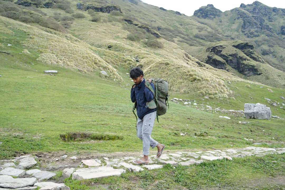
Nothing here changes the number that matters on the ground in Nepal. 8,848.86 metres is still the highest point a human being can stand on this planet’s surface, no asterisk needed.
What this means for you
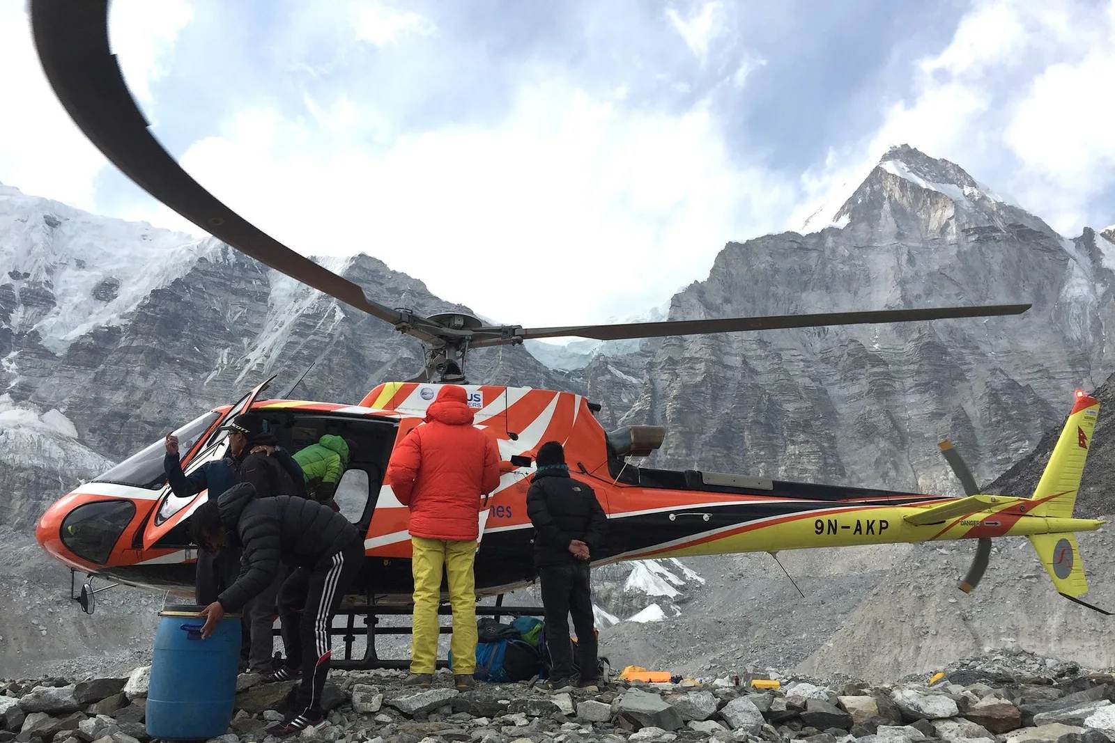
The ‘three tallest mountains’ trivia is really a reminder of how differently we can measure the same world. Everest’s record is about altitude and thin air — the exact conditions that make trekking to Everest Base Camp or flying past the summit on a helicopter tour a genuinely different physical experience from climbing a taller mountain measured from an ocean floor you will never see. If the science of Everest’s height interests you, we have also covered why Everest is still growing, millimetre by millimetre, for a reason that has nothing to do with plate tectonics, and the Gokyo Ri trek gives you one of the best long-range views of that summit from a ridge of your own.
For our guides in Pokhara this is mostly a good pub-quiz fact to have ready on the trail. Sea-level altitude, the measurement that actually determines how hard it is to breathe at 8,000 metres, will always be Everest’s alone. Trekkers heading into the Everest region this autumn will be looking up at the same 8,848.86 metres regardless of what is happening on a volcano in Ecuador or a seamount in the Pacific.
Source: ScienceBlog.com
Cover photo: Dick Hoskins via Pexels (Pexels License). Section photos: eberhard grossgasteiger via Pexels (Pexels licence); photowithom via Pexels (Pexels licence).
Still running this season
Everest Base Camp Helicopter Tour — 1 Day is running normally
NMA-certified local guides, transparent pricing, 5,000+ treks since 1998. Message us your dates and we'll sort the permits, lodges and logistics — reply within 24 hours, no obligation.
Popular Nepal treks
All treks →
Related coverage

Flights & Access
Everest Base Camp Trek or Helicopter Tour? The Kala Patthar Reopening Changes the Math in 2026
A shared helicopter can land you on Kala Patthar again after a three-year ban, but it still can't buy you what nine days on the trail does.
Records & People
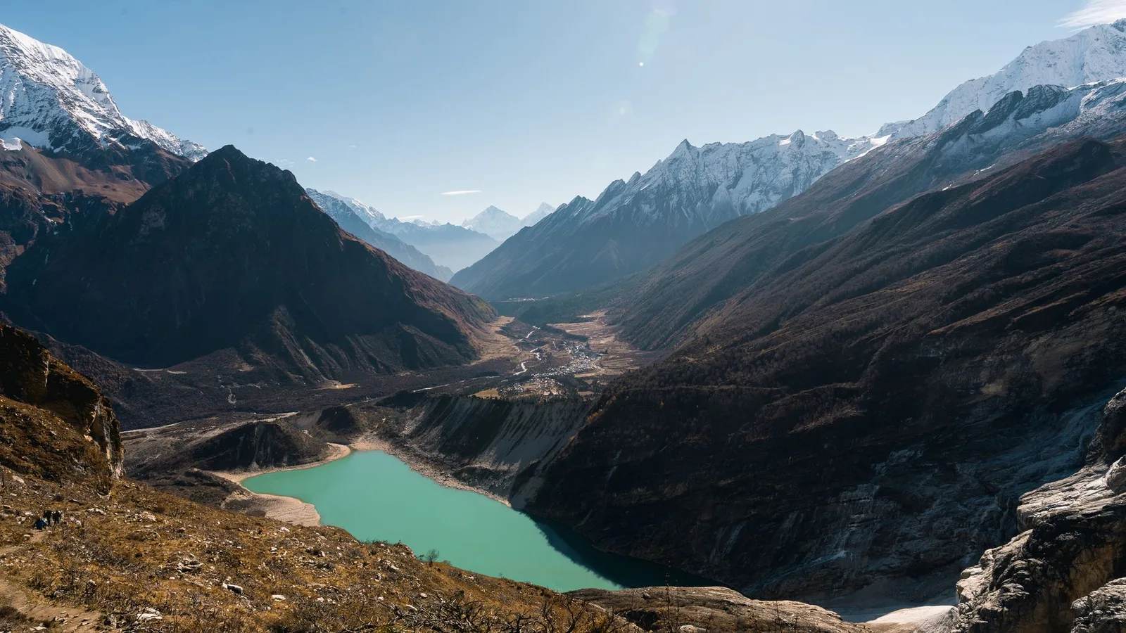
Nepal's Gokyo Lakes Turn an Impossible Turquoise Every Autumn, and Rock Dust Is Why
Six sacred glacial lakes above Everest sit higher than almost any freshwater on Earth, and the colour that makes trekkers stop mid-stride comes down to stone ground fine enough to float.
Records & People
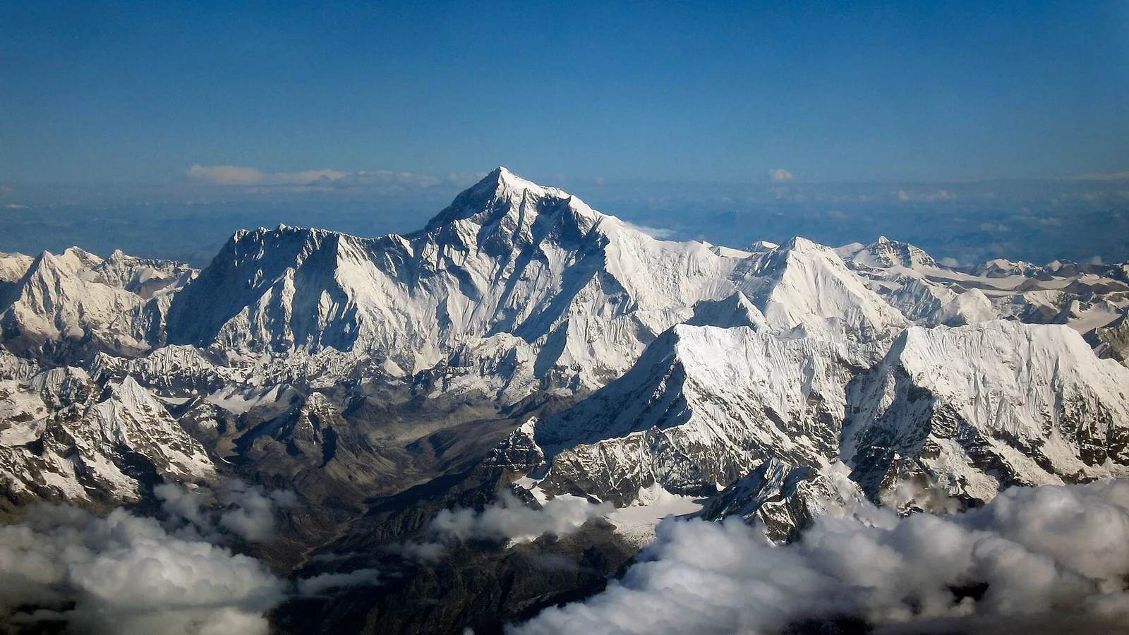
Mount Everest Was Named After a Man Who Never Saw It and Asked Not to Be
Sir George Everest never set foot near the mountain, never wanted his name on it, and wasn't even the one who proved it was the tallest on Earth.
Records & People
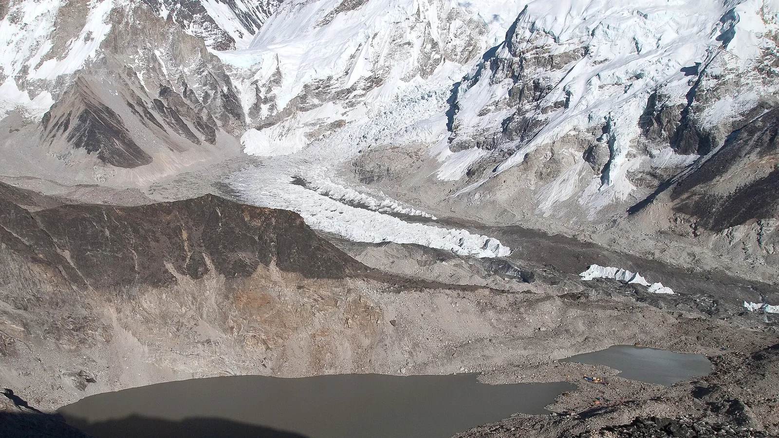
The Deadliest Avalanches in the Nepal Himalaya
From the 2014 Khumbu Icefall to the earthquake that swept Everest Base Camp in 2015 — the deadliest avalanches in Nepal's mountains, their causes and tolls, recorded with respect.
Latest from the desk
Breaking Safety & Advisories
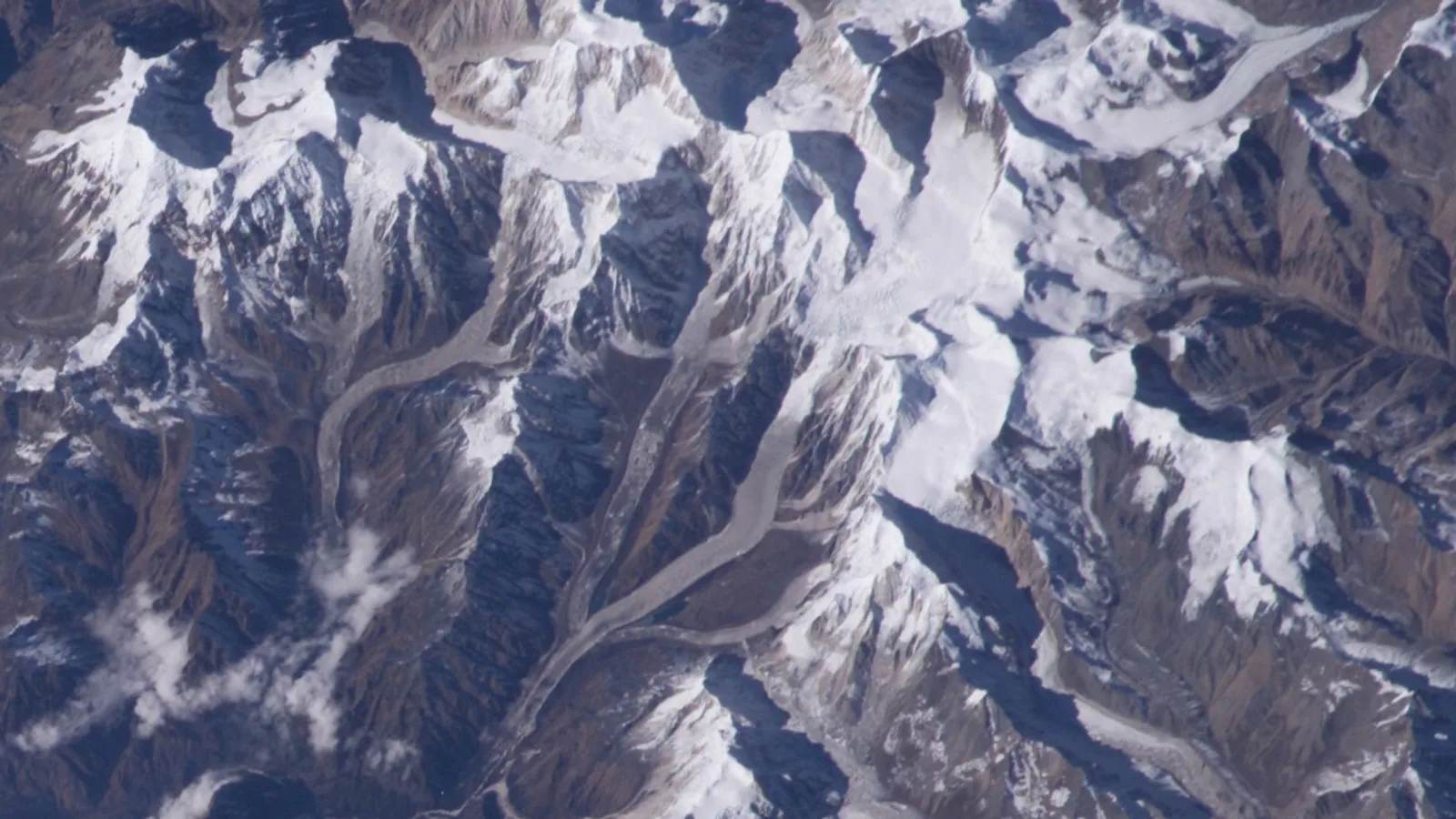
An Avalanche Buried Himlung Himal's Base Camp in Nepal, and Ten Climbers and Staff Are Missing
An avalanche hit Himlung Himal's base camp in Nepal's Manang district on 27 September, and rescuers are searching snow for ten missing climbers and staff.

Money & Insurance
You Could Be Owed Cash From a $167 Million Visa and Mastercard Settlement, Here's How to Check
Visa and Mastercard are paying $167.5 million after allegedly blocking cheaper ATM fees, and the claim deadline is 10 February 2027.
Wildlife & Nature
Chitwan or Bardia, here's which Nepal safari you should actually book
Nepal's 2026 tiger census found record numbers in Chitwan and a rare decline in Bardia, and it changes the honest answer to which safari to book.