
The world's deepest gorge isn't the Grand Canyon, and trekkers walk its floor
Between two 8,000-metre peaks, the Kali Gandaki has carved a gorge over three times the depth of the Grand Canyon, and a trekking trail runs along its floor.
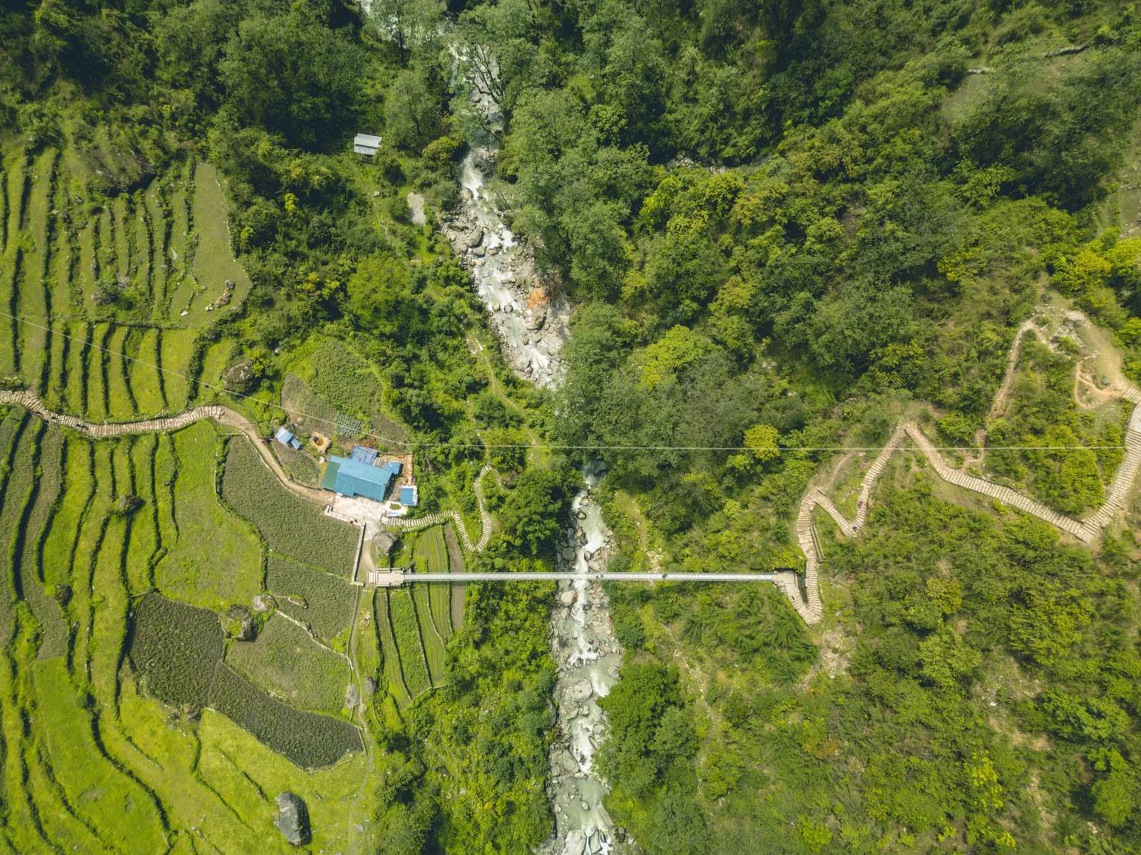
At a glance
- Published · updated
- TopicRecords & People
- Verified againstWorldAtlas; Wikipedia (Kali Gandaki Gorge); The Conversation
- Treks coveredAnnapurna Circuit Trek — 14 Days, Jomsom Muktinath Trek, Upper Mustang Trek — 12 Days
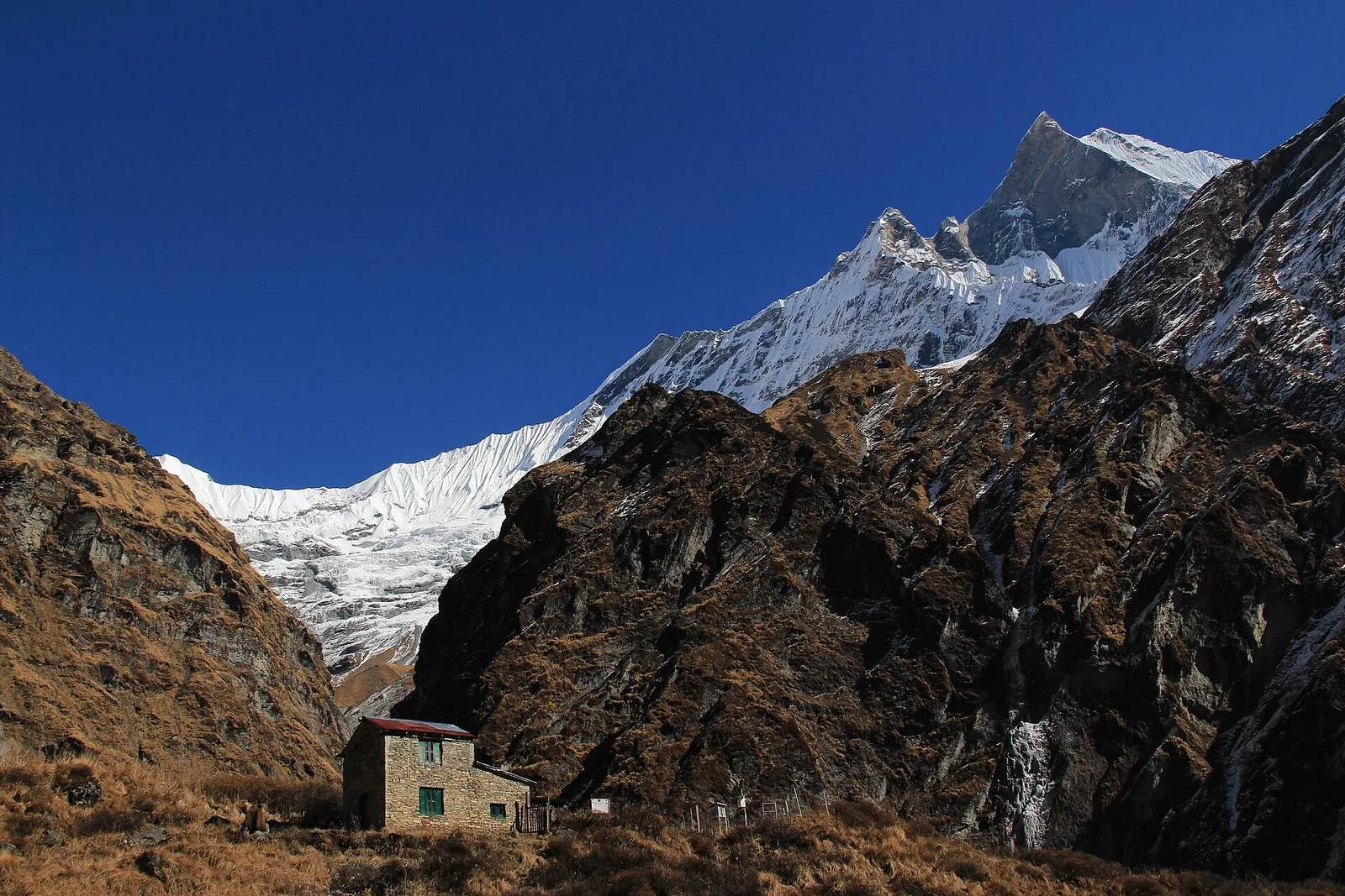
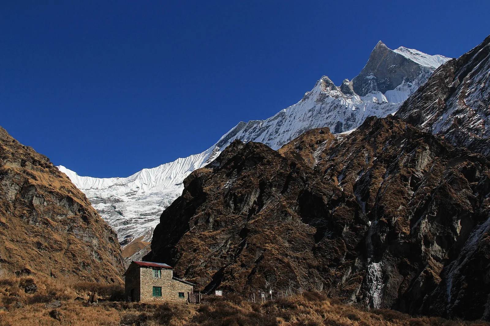
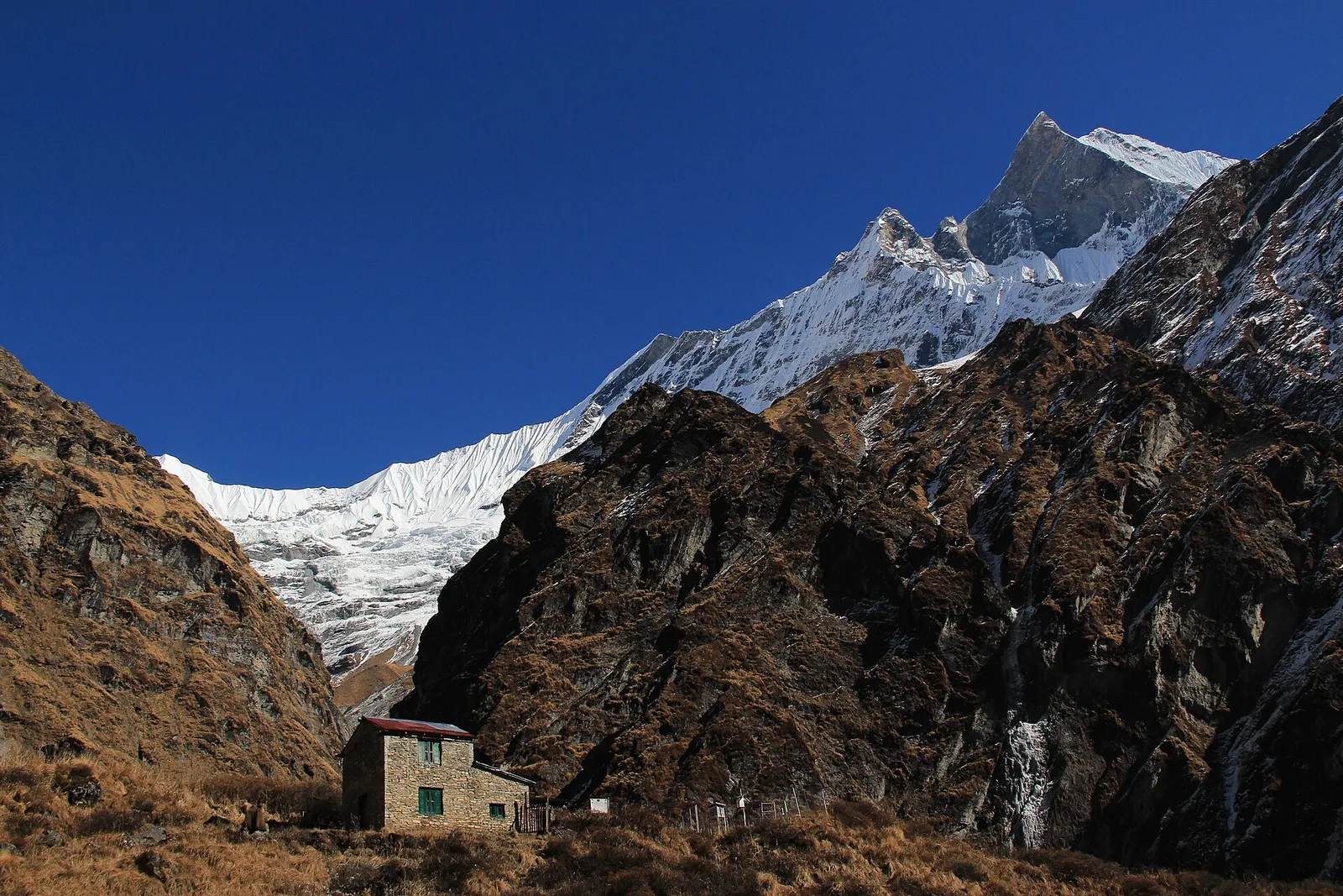
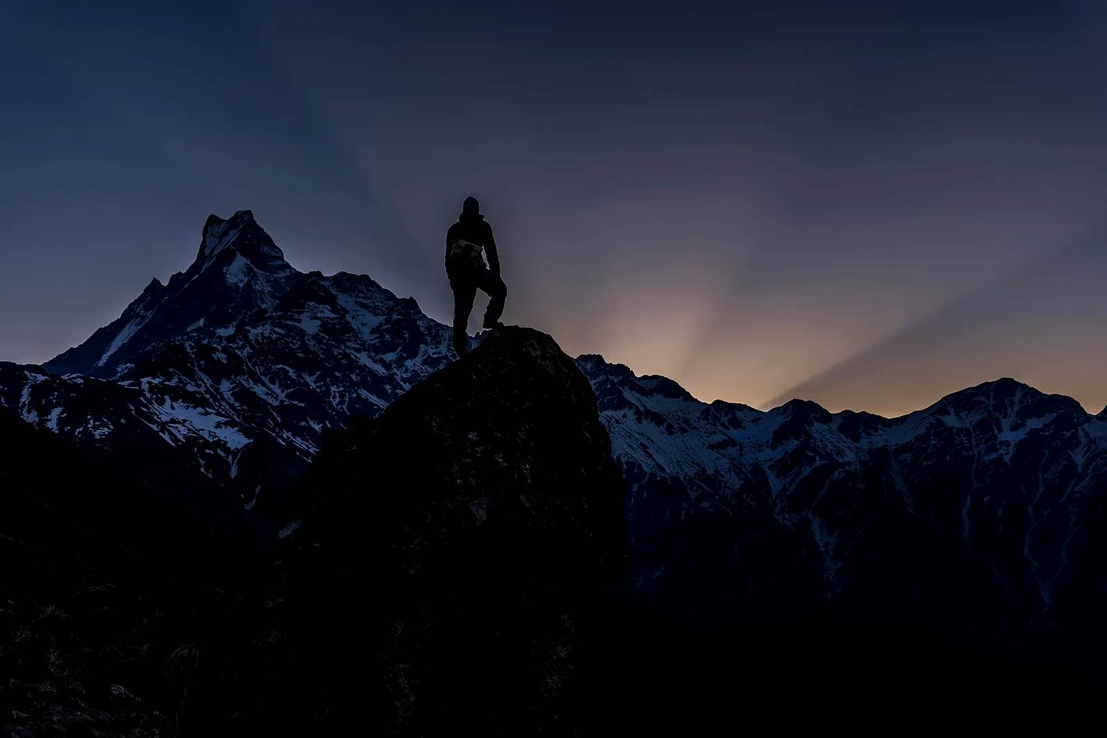
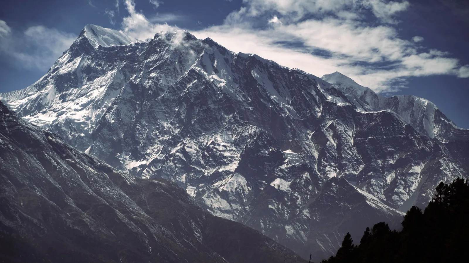
By one measure the deepest gorge on Earth is in Nepal, and an ordinary trekking trail runs along its floor. The Kali Gandaki river cuts between two 8,000-metre peaks, Dhaulagiri and Annapurna I, and the drop from their summits to the water is more than 5,500 metres — about three times the depth of the Grand Canyon.
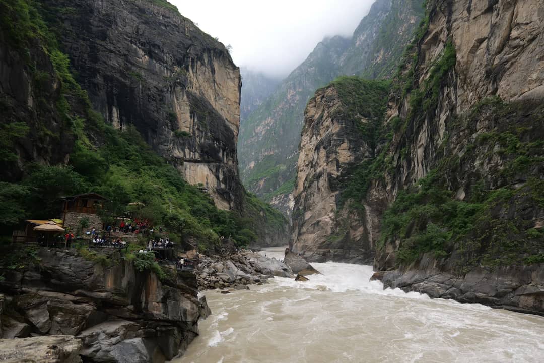
Key facts
- The gorge runs between Dhaulagiri (8,167 m) to the west and Annapurna I (8,091 m) to the east.
- Near Lete the riverbed sits at about 2,520 m, giving a vertical relief of 5,571 m to Annapurna I and 5,647 m to Dhaulagiri.
- By continuous canyon depth, Tibet’s Yarlung Tsangpo (about 6,009 m) ranks deeper; geographers use both measures.
- The riverbed yields shaligrams, fossil ammonites about 140 million years old.
How a river ends up 5,500 metres below two 8,000-metre peaks
The river is older than the mountains. The Kali Gandaki is what geologists call an antecedent river: it was flowing along its course before India began colliding with Asia roughly 50 million years ago, and as the Himalaya rose around it, it kept cutting down at about the same pace instead of being pushed aside.
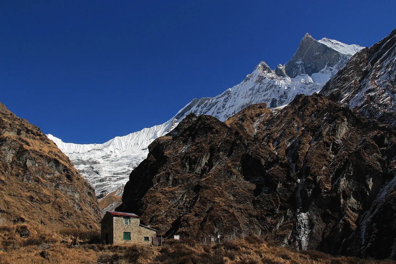
The result is a trench with an 8,000-metre wall on either side. Near Lete, where the riverbed is around 2,520 metres, Annapurna I stands 5,571 metres above the water on one side and Dhaulagiri 5,647 metres above it on the other.
Which gorge is really the deepest
It depends what you measure, and it is worth being straight about that. Measured as vertical relief — the drop from the highest adjacent summit to the river — the Kali Gandaki beats every other gorge on the planet.
Measured as continuous, walled canyon depth along a sustained stretch, Tibet’s Yarlung Tsangpo Grand Canyon, cut by the river that becomes the Brahmaputra, reaches about 6,009 metres and is usually named the deepest by that stricter definition. Both are real superlatives measuring different things.
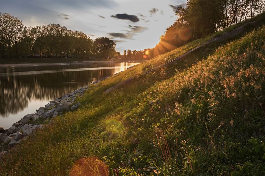
The fossils in the riverbed
Between Damodar Kund and Kagbeni, the river washes out black, coiled fossils that Hindus and Buddhists have venerated for more than 2,000 years. They are shaligrams, the remains of ammonites — spiral-shelled sea creatures that lived in the Tethys Sea about 140 million years ago — and they are revered as a living form of Vishnu.
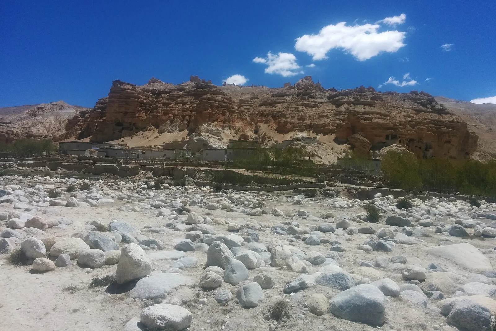
Walk the gorge floor near Kagbeni or Jomsom and you will see trekkers and pilgrims crouched over the grey stones, cracking them open. They are getting harder to find: shifts in the river’s course, which researchers link to a changing climate, are burying and moving the beds they come from. They are younger than the seabed at the top of Everest, from a later stage of the same ocean — why there are seashells at the top of Everest.
Walking it, and driving it
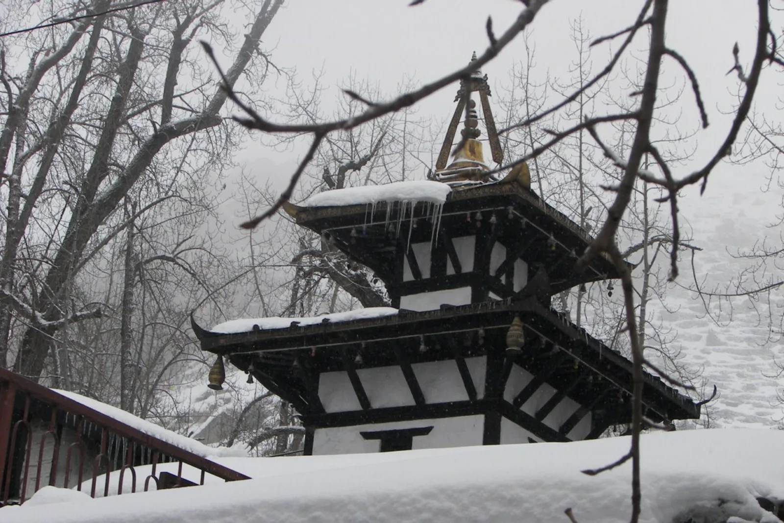
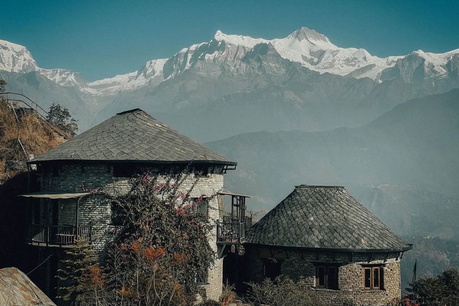
This is not a gorge you look at from a fenced overlook; it is one of Nepal’s most walked trekking corridors. The Annapurna Circuit and the Jomsom–Muktinath trek follow it upstream through Tatopani, Ghasa, Lete, Marpha and Jomsom before climbing toward Muktinath, a route pilgrims have used for centuries.
You can also drive the bottom of it: the Pokhara to Jomsom road is roughly 180 km and takes seven to nine hours, climbing from about 820 m to 2,720 m through the gorge. Either way, plan to be moving before midday — by early afternoon the gorge funnels a strong wind up through Kagbeni and Jomsom, and there is a reason it starts on schedule every day.
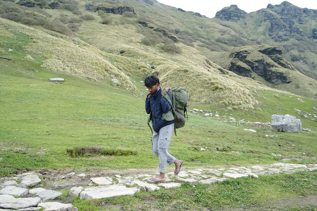
What this means for you
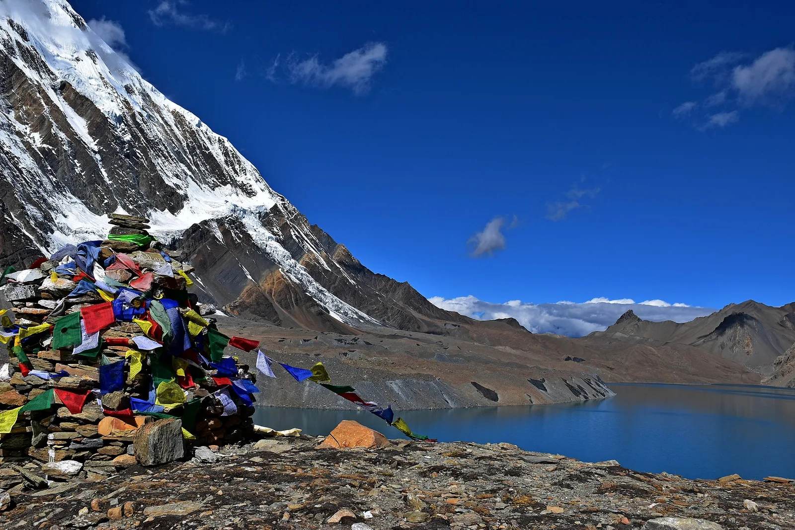
No technical gear or canyon permit is needed; it is a well-supplied teahouse trail with lodges every few hours, and you spend whole days with an 8,000-metre wall on either side. The Annapurna Circuit Trek walks its length, the shorter Jomsom–Muktinath Trek follows it to the temple, and Upper Mustang continues north into the rain shadow.
Sources: WorldAtlas, “10 Deepest Canyons in the World”; Wikipedia, “Kali Gandaki Gorge”; The Conversation (shaligrams).
Cover photo: Abdul Kayum via Pexels (Pexels License). Section photos: xing Wang via Pexels (Pexels licence); David Bartus via Pexels (Pexels licence); photowithom via Pexels (Pexels licence).
Still running this season
Jomsom Muktinath Trek is running normally
NMA-certified local guides, transparent pricing, 5,000+ treks since 1998. Message us your dates and we'll sort the permits, lodges and logistics — reply within 24 hours, no obligation.
Popular Nepal treks
All treks →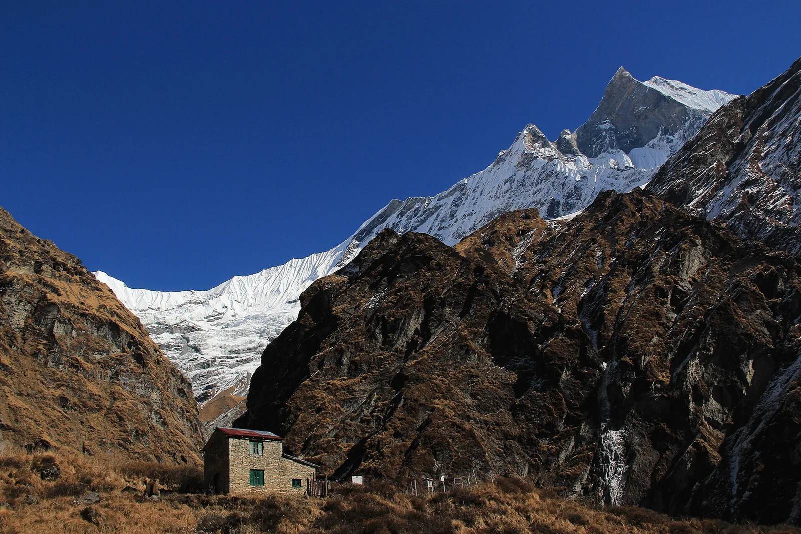
Related coverage
Safety & Advisories
Is the Annapurna Circuit Trek Affected by the 2026 Nepal Floods?
Short answer: the Circuit trail itself was not hit — it runs the Marsyangdi and Kali Gandaki on the far western side of the country, a different river system from the Rasuwa flood. The one real catch is the drive in: confirm the Prithvi Highway to Besisahar, or fly to Pokhara.
Records & People
Why some 8,000-metre peaks get climbed thousands of times and others almost never
Everest has over 12,000 ascents; Annapurna I and Kangchenjunga barely a few hundred each. The gap between the eight-thousanders is not about height.
Records & People
Nepal Drops From 8,848 Metres to 59 in Under 250 Kilometres, and Its Lowest Point Just Moved
A 2017 survey reportedly found a lower spot than the one Nepal had used for decades, which makes the gap between jungle floor and Everest summit even harder to believe.
Records & People
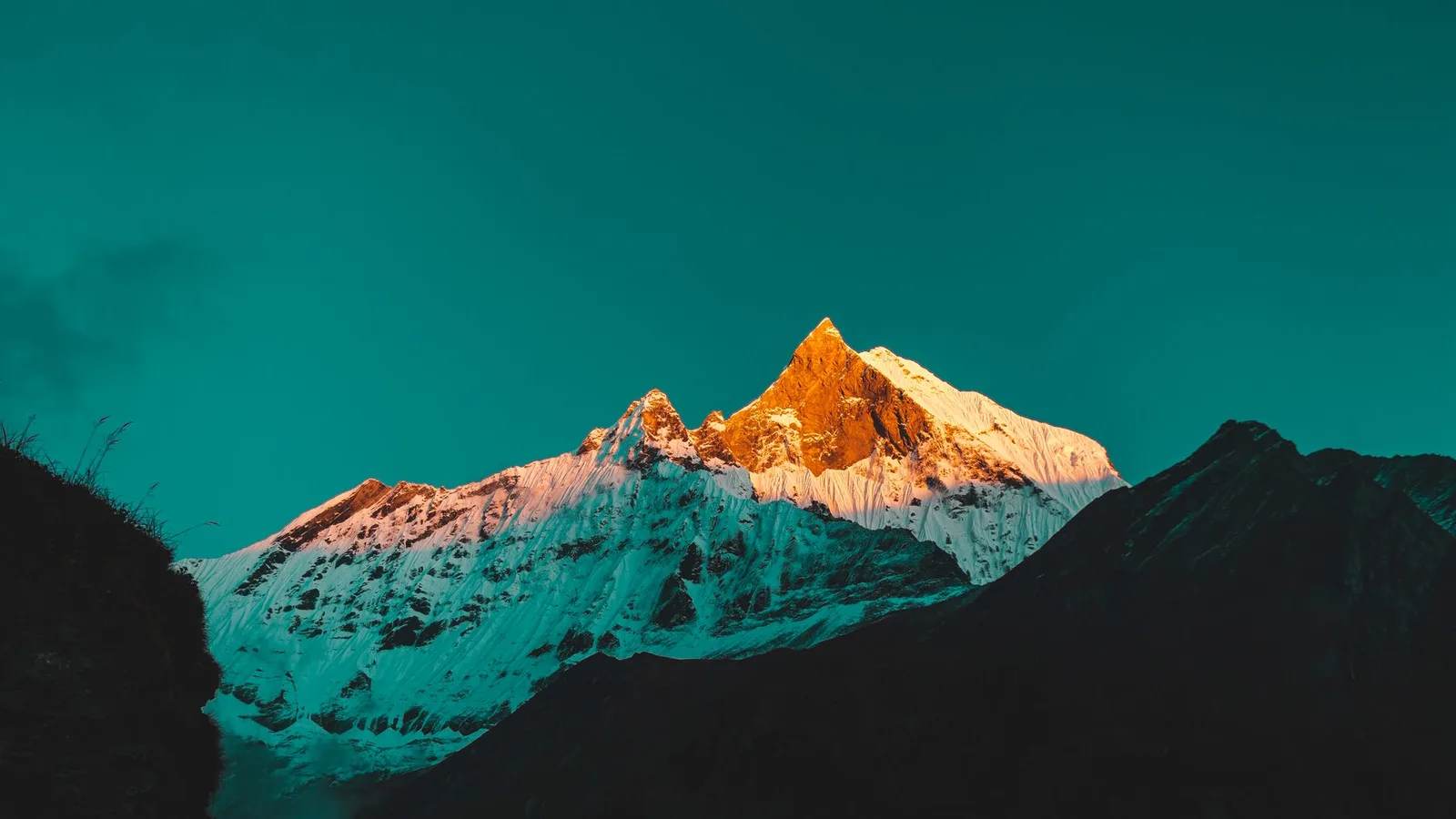
Eight of the World's 14 Highest Peaks Touch Nepal, and Only Three Sit Entirely Inside It
Nepal shares five of its eight giants with a neighbour, and all eight were first climbed within a single decade, starting with Annapurna in 1950.
Latest from the desk
Breaking Safety & Advisories
An Avalanche Buried Himlung Himal's Base Camp in Nepal, and Ten Climbers and Staff Are Missing
An avalanche hit Himlung Himal's base camp in Nepal's Manang district on 27 September, and rescuers are searching snow for ten missing climbers and staff.

Money & Insurance
You Could Be Owed Cash From a $167 Million Visa and Mastercard Settlement, Here's How to Check
Visa and Mastercard are paying $167.5 million after allegedly blocking cheaper ATM fees, and the claim deadline is 10 February 2027.
Wildlife & Nature
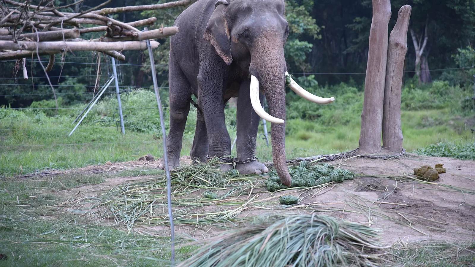
Chitwan or Bardia, here's which Nepal safari you should actually book
Nepal's 2026 tiger census found record numbers in Chitwan and a rare decline in Bardia, and it changes the honest answer to which safari to book.