
Why there are seashells at the top of Mount Everest, and where you can see them
The summit of Everest is 450-million-year-old limestone from a tropical seafloor, packed with fossils. How it got there, and where trekkers can see it.
At a glance
- Published · updated
- TopicRecords & People
- Verified againstIUGS Geoheritage; Montana State University; BBC Science Focus
- Treks coveredEverest Base Camp Trek — 14 Days, Everest Three High Passes Trek — 20 Days, Jomsom Muktinath Trek
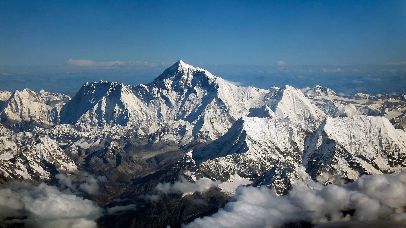
The top of Mount Everest is a band of limestone that formed on the floor of a warm, shallow sea about 450 million years ago, and it is full of the fossils of the animals that lived there. The highest rock on Earth is not granite or basalt. It is a seabed, lifted 8,849 metres into the sky by two continents that are still colliding.
Key facts
- The summit rock is the Qomolangma Formation, a Middle Ordovician limestone about 450 million years old.
- Its fossils include brachiopods, crinoids (sea lilies), conodonts, trilobites and ostracods — all marine animals.
- Geologist Noel Odell found the first Everest fossils in 1924, at about 7,770 metres.
- The seabed was driven upward when India collided with Asia about 55–50 million years ago, and Everest is still rising.
What the summit is actually made of
Limestone laid down on the bed of the Tethys, an ocean that no longer exists. Geologists call the summit layer the Qomolangma Formation, after Everest’s Tibetan name, and it forms roughly the top 125 metres of the mountain.
The International Union of Geological Sciences lists the Ordovician rocks of Everest among its global geoheritage sites. They date from the Great Ordovician Biodiversification Event, one of the most important bursts of diversification in the history of marine life, when this stretch of crust sat on a warm shelf near the equator. Climbers have photographed fossil-bearing beds around 8,500 metres, and researchers at Montana State University report fossil fragments in rock sampled within about six metres of the true summit.
| Fossil | What it was | What it tells geologists |
|---|---|---|
| Crinoids | Stalked relatives of starfish, “sea lilies” | Lived attached to a shallow tropical seafloor |
| Brachiopods | Small shelled filter-feeders resembling clams | Common across warm Ordovician seas |
| Conodonts | Tooth-like remains of an early eel-shaped animal | Used to date the rock precisely |
| Trilobites | Armoured sea arthropods | Extinct long before the dinosaurs |
| Ostracods | Seed-sized shelled crustaceans | Marine origin of the limestone |
The climber who found the first fossils
Noel Odell, the geologist on the 1924 British expedition, found them — on the same expedition that lost George Mallory and Andrew Irvine. Odell was the last man to see the two alive, climbing through drifting cloud high on the mountain.
Scouting above 25,500 feet, about 7,770 metres, he came across a band of pale limestone. “At about 25,500 feet I came upon a limestone band which to my joy contained fossils,” he wrote, “the first definite forms found on Everest.” Mallory’s body was not found until 1999; Irvine’s remains surfaced only recently — see the boot that melted out of Everest’s ice.
How a seafloor ends up 8,849 metres in the air
India crashed into Asia and the seabed between them had nowhere to go but up. After the supercontinent Pangea broke apart about 200 million years ago, the Indian plate drifted north across the Tethys and, around 55–50 million years ago, met Asia.
Neither plate could sink beneath the other in the usual way, so the crust between them was folded, cracked and stacked upward until the old seabed became the highest exposed rock on the planet. The collision has not stopped: India still pushes north by a few centimetres a year, and Everest is still rising by a few millimetres a year — with, it turns out, help from a river that changed course. The age of the summit rock was pinned down in the 1970s and later confirmed by researchers including David Harper of Durham University.
Brachiopods, crinoids and conodonts settle on the floor of the Tethys, becoming the Qomolangma Formation.
The collision begins driving the old seafloor upward.
The first fossils found on Everest, at about 7,770 metres.
Nepal and China jointly fix the official height at 8,848.86 metres.
The Yellow Band you can see from the trail
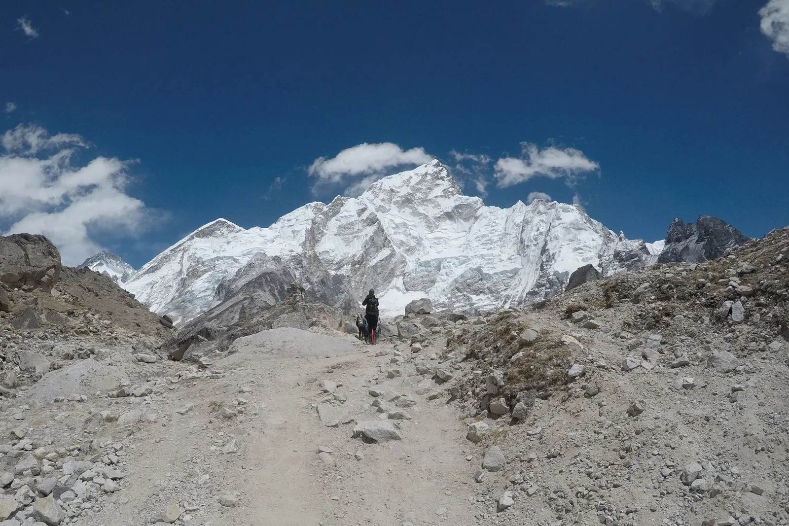
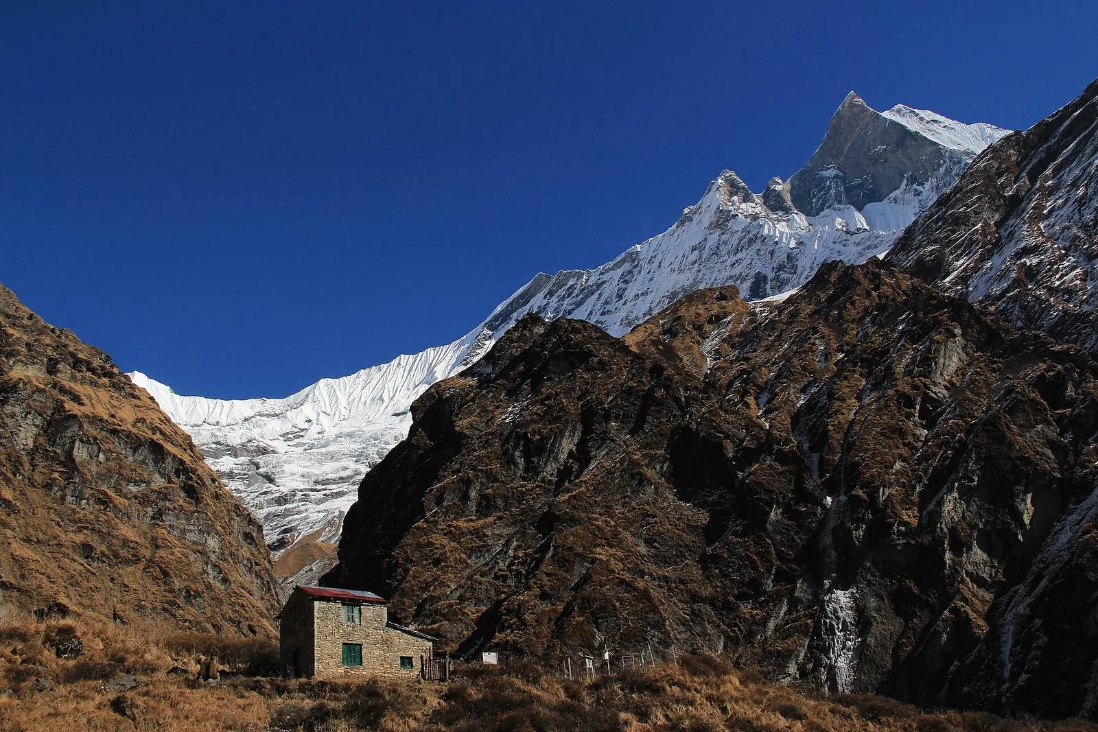
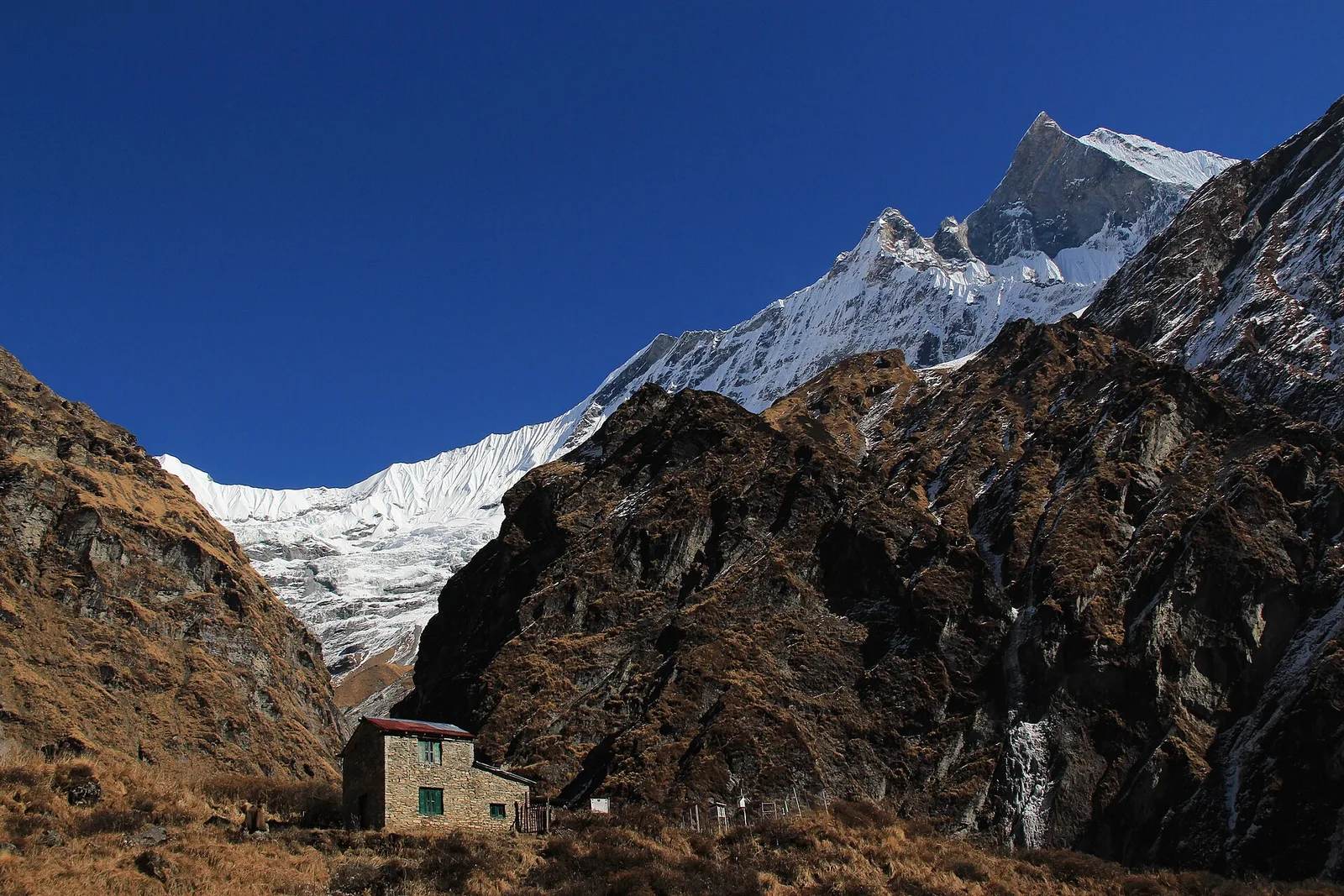
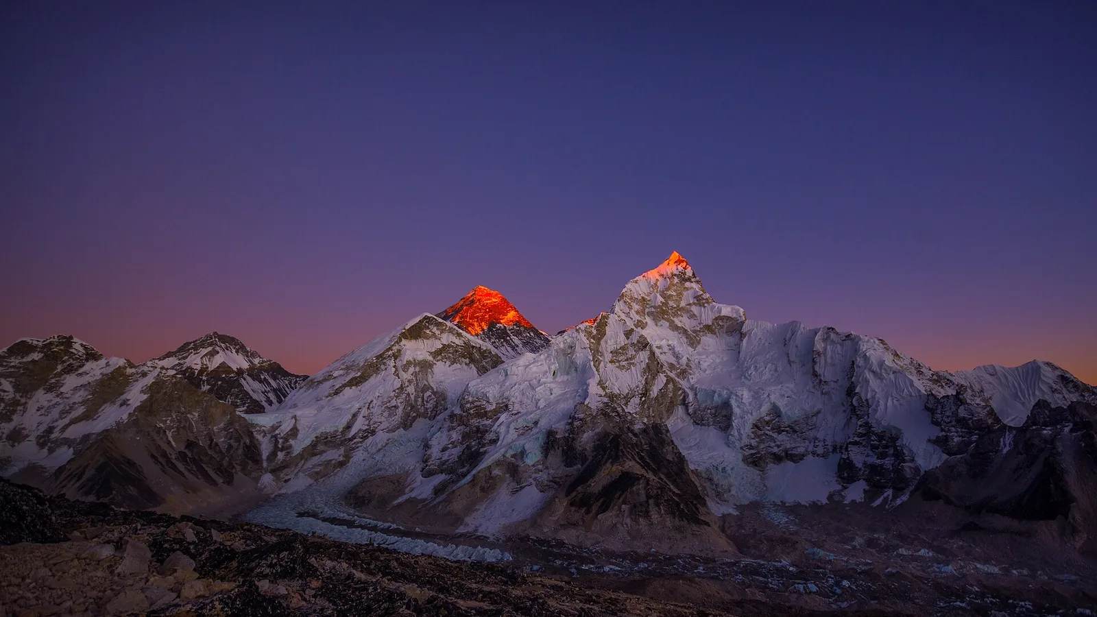
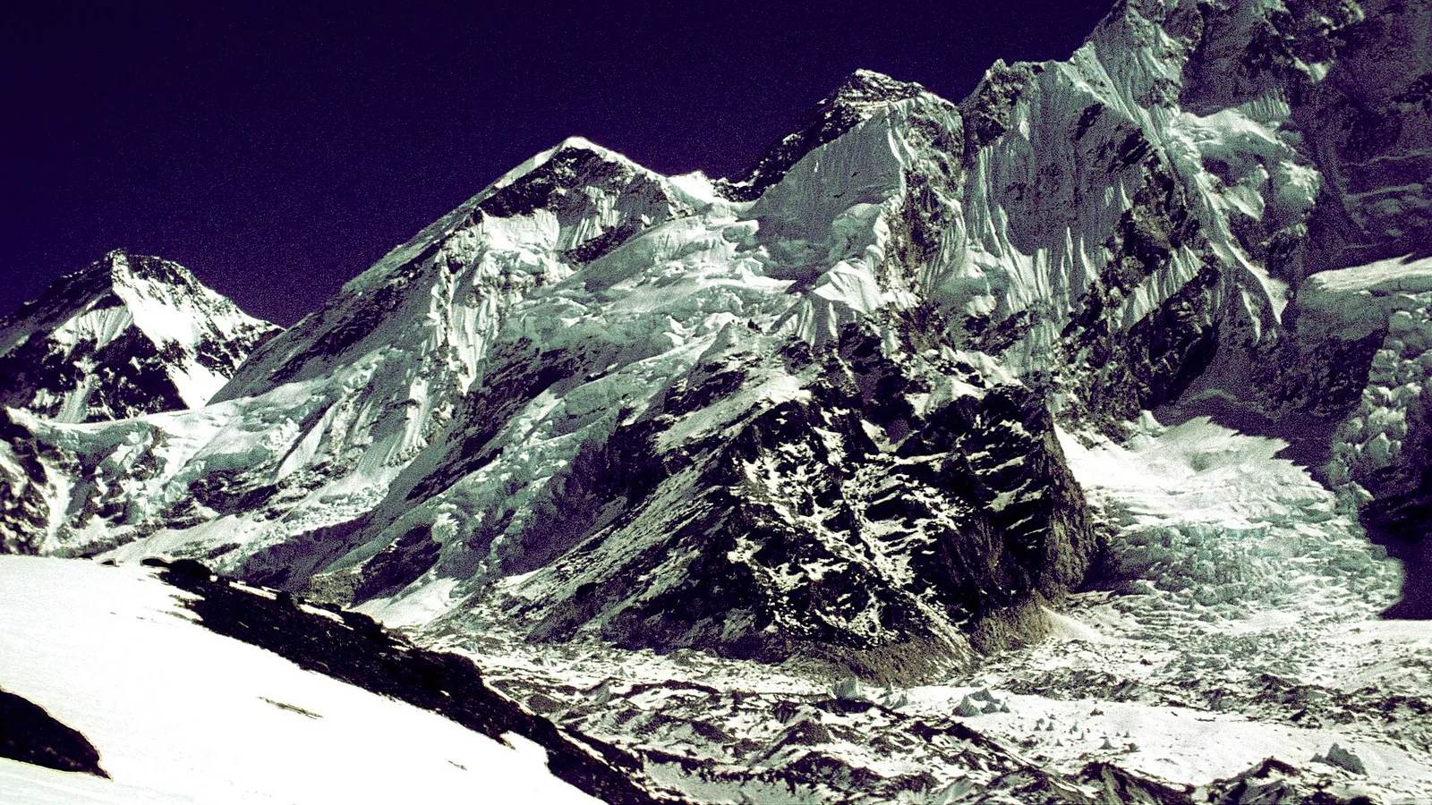
You cannot touch the summit rock without climbing Everest, but you can see the ocean from Kala Patthar. The pale stripe that rings the upper mountain below the summit pyramid is the Yellow Band, altered marine limestone roughly 172 metres thick that contains up to 5 percent crinoid fragments, according to Montana State University’s Everest education project.
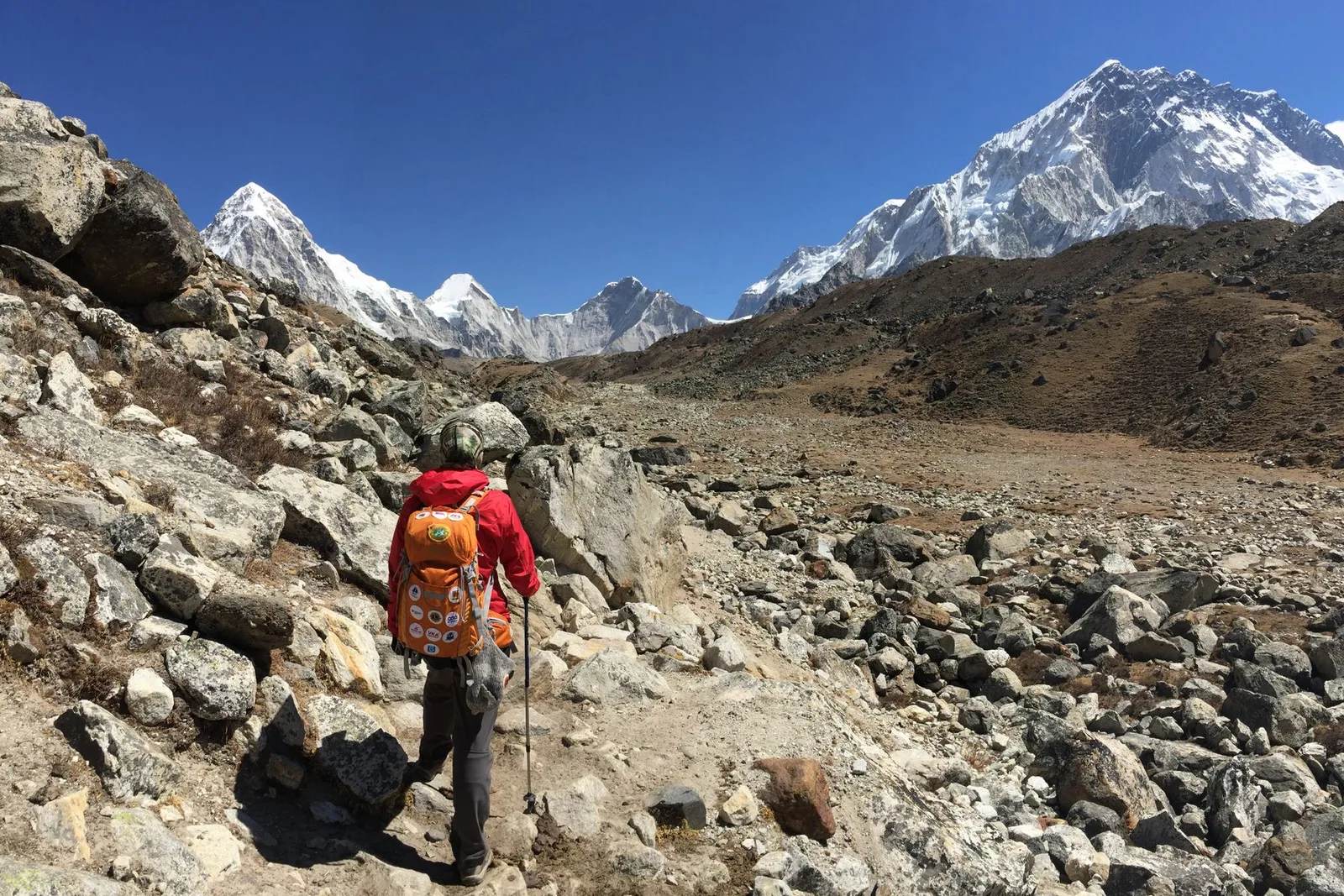
From Kala Patthar, at 5,545 metres above Gorak Shep, it is plainly visible on a clear morning. Guides on a well-run trek will also point out the folded, layered rock bands above Dingboche and Lobuche — the same upheaval, at trekking altitude.
Where trekkers can hold the ocean
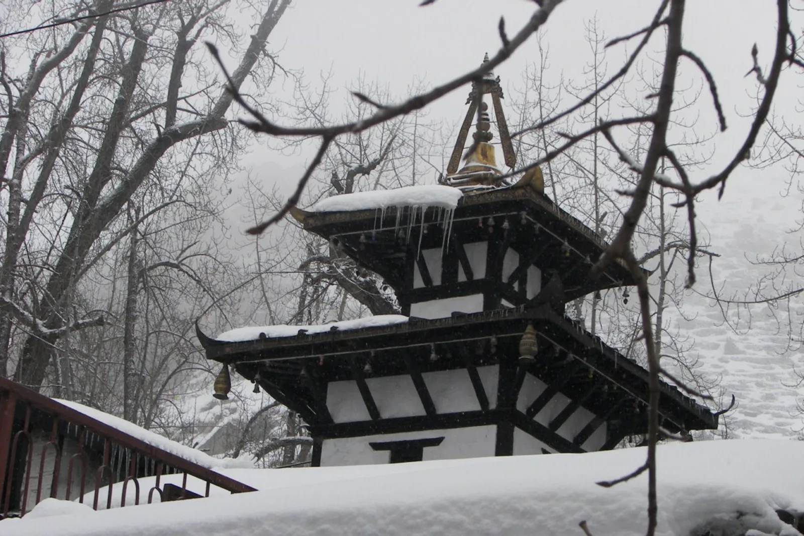
In the Kali Gandaki valley, where fossil ammonites turn up in the riverbed. Nepalis call them shaligram, and Hindus and Buddhists venerate them as a living form of Vishnu.
They are younger than Everest’s summit — Jurassic, about 140 million years old, from a later stage of the same long-lived Tethys — and far easier to reach, on the trail to Muktinath through the world’s deepest gorge.
What this means for you
You do not need a summit permit or bottled oxygen to see this story in stone. The Everest Base Camp Trek walks beneath the limestone bands of the upper mountain and up to Kala Patthar; the Three High Passes Trek crosses even more exposed geology. To hold a fossil from the same ocean, the Jomsom–Muktinath trek and Upper Mustang follow the Kali Gandaki. The ice on these routes is changing too — see the Khumbu Glacier’s projected loss.
Sources: International Union of Geological Sciences Geoheritage, “The Ordovician Rocks of Mount Everest”; Montana State University, Everest Education Expedition; BBC Science Focus.
Cover photo: Abdul Kayum via Pexels (Pexels License). Section photos: Jasper Hunter via Pexels (Pexels licence); Elle Hughes via Pexels (Pexels licence); Balazs Simon via Pexels (Pexels licence).
Still running this season
Everest Base Camp Trek — 14 Days is running normally
NMA-certified local guides, transparent pricing, 5,000+ treks since 1998. Message us your dates and we'll sort the permits, lodges and logistics — reply within 24 hours, no obligation.
Popular Nepal treks
All treks →
Related coverage
Records & People
Nobody tells you Everest can only be climbed a few days a year, and the jet stream is why
For most of the year the jet stream sits on Everest’s summit. It lifts for a few weeks in May as the monsoon pushes it aside, and only then can anyone climb.
Records & People
Everest records, from the fastest ascent to the most summits by one person
Mount Everest's verified record book — who has summited most, who was oldest and youngest on top, and the fastest ascent ever timed, with every name, number and year sourced.
Records & People
Nepal Drops From 8,848 Metres to 59 in Under 250 Kilometres, and Its Lowest Point Just Moved
A 2017 survey reportedly found a lower spot than the one Nepal had used for decades, which makes the gap between jungle floor and Everest summit even harder to believe.
Records & People
Mount Everest Was Named After a Man Who Never Saw It and Asked Not to Be
Sir George Everest never set foot near the mountain, never wanted his name on it, and wasn't even the one who proved it was the tallest on Earth.
Latest from the desk
Breaking Safety & Advisories
An Avalanche Buried Himlung Himal's Base Camp in Nepal, and Ten Climbers and Staff Are Missing
An avalanche hit Himlung Himal's base camp in Nepal's Manang district on 27 September, and rescuers are searching snow for ten missing climbers and staff.

Money & Insurance
You Could Be Owed Cash From a $167 Million Visa and Mastercard Settlement, Here's How to Check
Visa and Mastercard are paying $167.5 million after allegedly blocking cheaper ATM fees, and the claim deadline is 10 February 2027.
Wildlife & Nature
Chitwan or Bardia, here's which Nepal safari you should actually book
Nepal's 2026 tiger census found record numbers in Chitwan and a rare decline in Bardia, and it changes the honest answer to which safari to book.