
Breaking · Safety & Advisories
Nearly 2 Billion People Depend on Himalayan Meltwater, and a New Report Says It's About to Peak
A September 2026 study of the Hindu Kush Himalaya's roughly 40,000 glaciers, only 21 of which are monitored on the ground, warns the rivers trekkers cross every day are approaching the point where they stop rising and start shrinking for good.
At a glance
- Published
- TopicSafety & Advisories
- Verified againstThe Star (Reuters)
- Treks coveredEverest Base Camp Trek — 12 Days, Gokyo Ri Trek — 11 Days, Langtang & Gosaikunda Trek — 13 Days
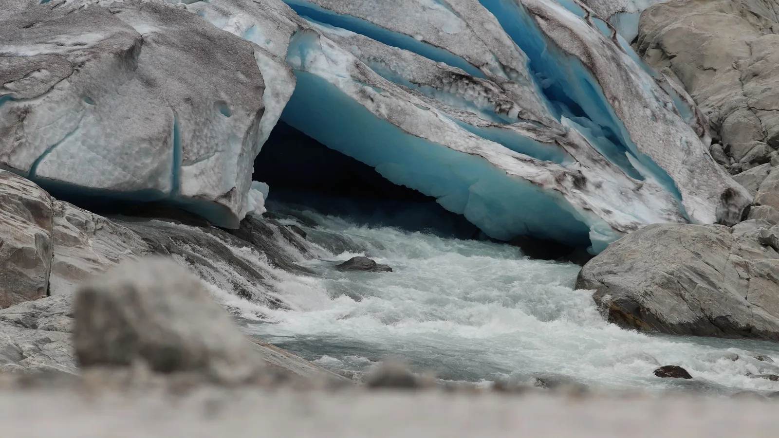
Every trekker who has filled a bottle from a side stream above Namche or watched a glacial river churn grey with rock flour below Manaslu has touched the same water system a new report just put a number on: about 2 billion people, roughly a quarter of humanity, depend downstream on rivers that start as ice in these mountains.
Key facts
- The Hindu Kush Himalaya holds an estimated 40,000 glaciers across 8 countries, from Afghanistan to Myanmar
- Only 21 of those glaciers are monitored on the ground in any sustained way
- The range is the source of at least 10 major Asian river systems
- The study projects the region will reach peak water by roughly mid-century
The study, published this month by the sustainability advisory firm Systemiq together with the Integrated Mountain Initiative, the International Centre for Integrated Mountain Development and India's G.B. Pant National Institute of Himalayan Environment, lands two weeks after the Nepal-Tibet border glacier collapse that triggered flash floods and landslides which have killed at least 1,300 people and left more than 5,300 missing across Nepal and China's Tibet region. The report isn't about that one event. It's about the slower process behind it: glaciers that took thousands of years to build are retreating fast enough that the rivers they feed are approaching a turning point most travellers have never heard of.
Peak water is the researchers' term for the moment a glacier-fed river's annual flow stops climbing and starts falling for good. Right now, a shrinking glacier can still mean a bigger river in the short term, because more ice is melting each year than is falling as new snow, so more water reaches the valley. That can't continue forever. Once a glacier gets small enough, there's less ice left to melt, and the river it feeds starts to shrink instead of grow. The study's mid-century estimate means some rivers trekkers wade across in the Khumbu or the Annapurna region today could be measurably smaller within the working life of a guide starting their career now.
The monitoring gap is the detail that stands out most to someone who works in these valleys every season: of roughly 40,000 glaciers, researchers have sustained ground data on just 21. Everything else is inferred from satellites and modelling. That's not a knock on the scientists, putting a weather station on a glacier above 5,000m in the Karakoram or eastern Nepal is genuinely dangerous, expensive work, but it means most of what we know about the water supply for 2 billion people is an estimate, not a measurement.
The report also puts a number on how concentrated the downstream risk already is: in India alone, close to 200 glacial lakes are classified as high-risk and 56 as very high-risk, and the Himalayan region, while making up only about 18% of India's land area, already accounts for roughly 35% of the country's natural disasters while underpinning more than a fifth of its GDP through farming, hydropower and pilgrimage travel that all depend on predictable rivers.
What this means for trekkers
What this means for you
None of this changes a trek booked for this autumn or next spring, the shift the report describes plays out over decades, not seasons. But it's why we take glacial-lake and river-crossing advisories seriously on routes like Everest Base Camp, Gokyo Ri and Langtang, all of which cross rivers and lakes fed directly by glaciers this study is tracking. If you want to see this landscape while its glaciers still look the way they do in every photo you've seen of it, that reason now has a formal number behind it, not just a guide's hunch.
We've written before about Nepal's 21 highest-risk glacial lakes; this report is the slower story behind those lakes existing at all. Ask your operator, us included, whether a route crosses a monitored glacial-lake outflow before booking a trek that follows a river valley closely for multiple days. It's a fair question, and worth normalising.
Sources: Reuters, via The Star, 'Himalayas approaching tipping point, millions of livelihoods at stake: Report'; ICIMOD press materials.
Cover photo: Moonther Aga via Pexels (Pexels License).
Still running this season
Everest Base Camp Trek — 12 Days is running normally
NMA-certified local guides, transparent pricing, 5,000+ treks since 1998. Message us your dates and we'll sort the permits, lodges and logistics — reply within 24 hours, no obligation.
Popular Nepal treks
All treks →
Related coverage
Records & People
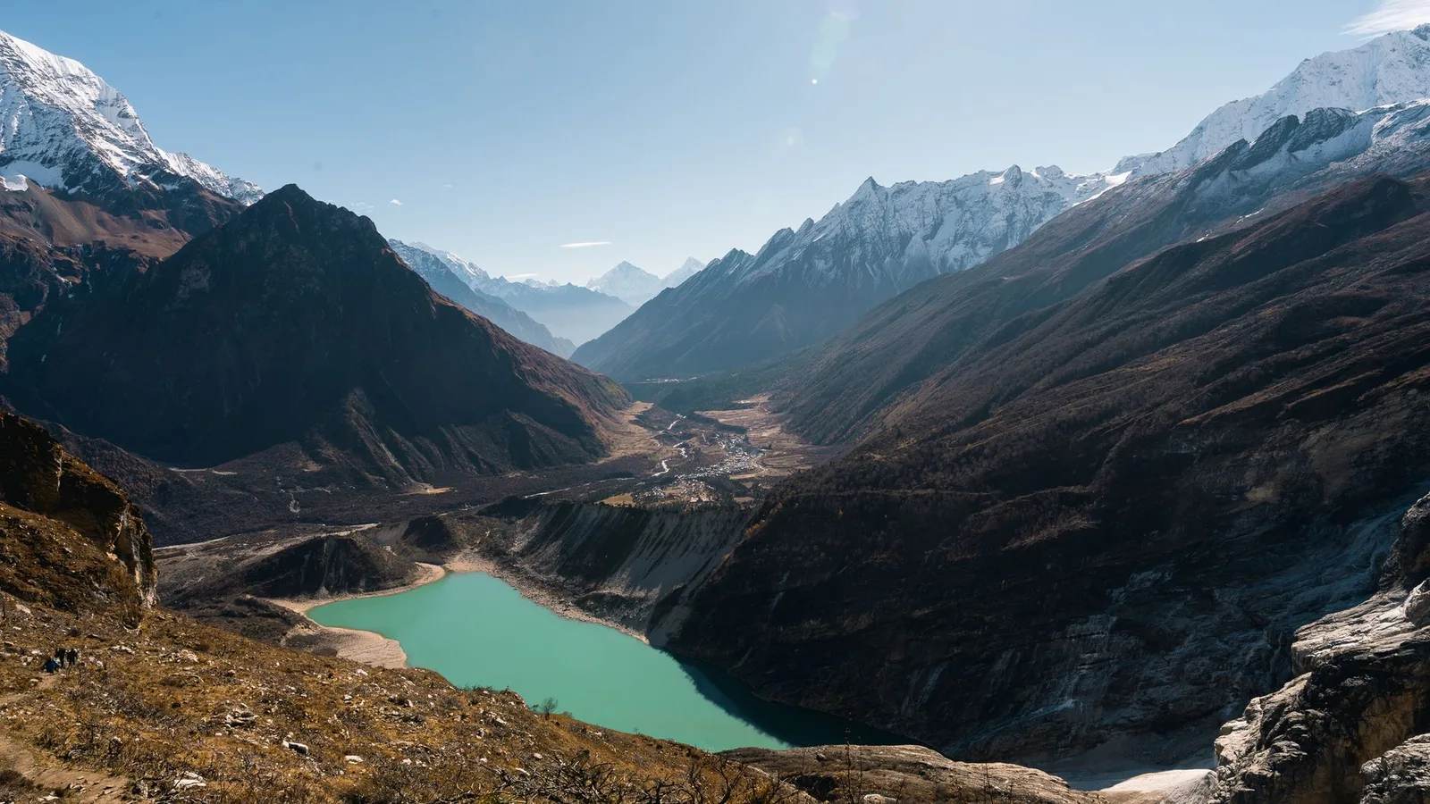
Nepal's Gokyo Lakes Turn an Impossible Turquoise Every Autumn, and Rock Dust Is Why
Six sacred glacial lakes above Everest sit higher than almost any freshwater on Earth, and the colour that makes trekkers stop mid-stride comes down to stone ground fine enough to float.

Safety & Advisories
Nepal Has 21 Glacial Lakes Scientists Call Time Bombs, and One Already Burst This Year
A region-wide survey has flagged 47 Himalayan lakes as potentially dangerous, 21 of them inside Nepal, and 2026 has already shown what happens when one lets go.
Records & People
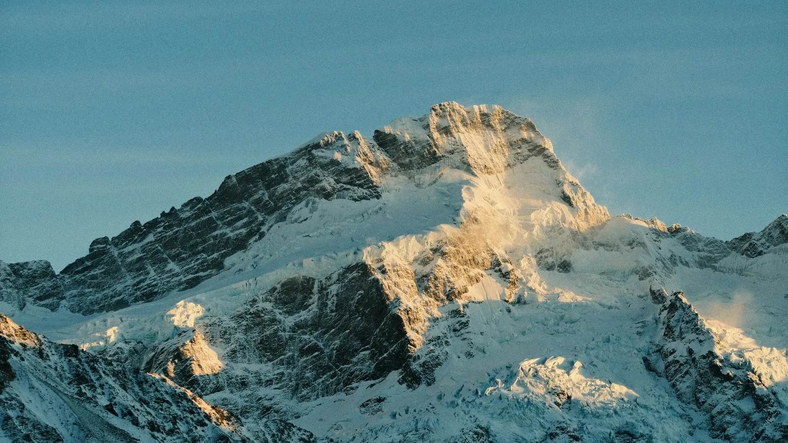
Mount Everest Is Still Growing — and a Hijacked River 47 Miles Away Is Pushing It Up
A 2024 study in Nature Geoscience found the world's tallest mountain gains roughly 2mm a year from an ancient river 'piracy' event on top of the tectonic collision that built it in the first place.

Wildlife & Nature
Red Panda: Nepal's Endangered 'Fire Fox' of the Eastern Himalaya (2026)
Fewer than trekkers realise cling on in eastern Nepal's cloud forests — the bamboo-eating fire fox is Endangered, and the fight to save it runs on local forest guardians.
Latest from the desk
Breaking Trail & Weather
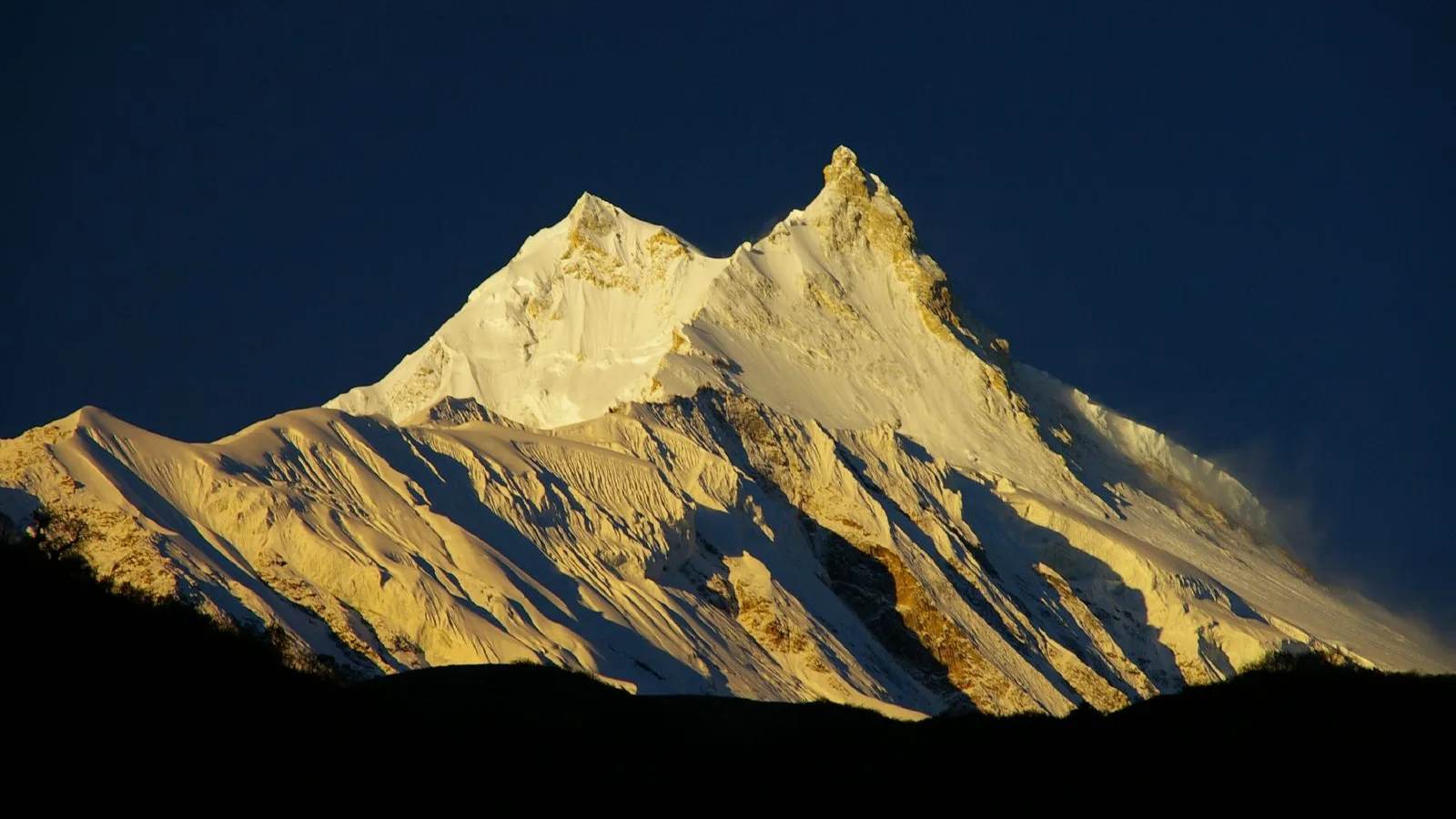
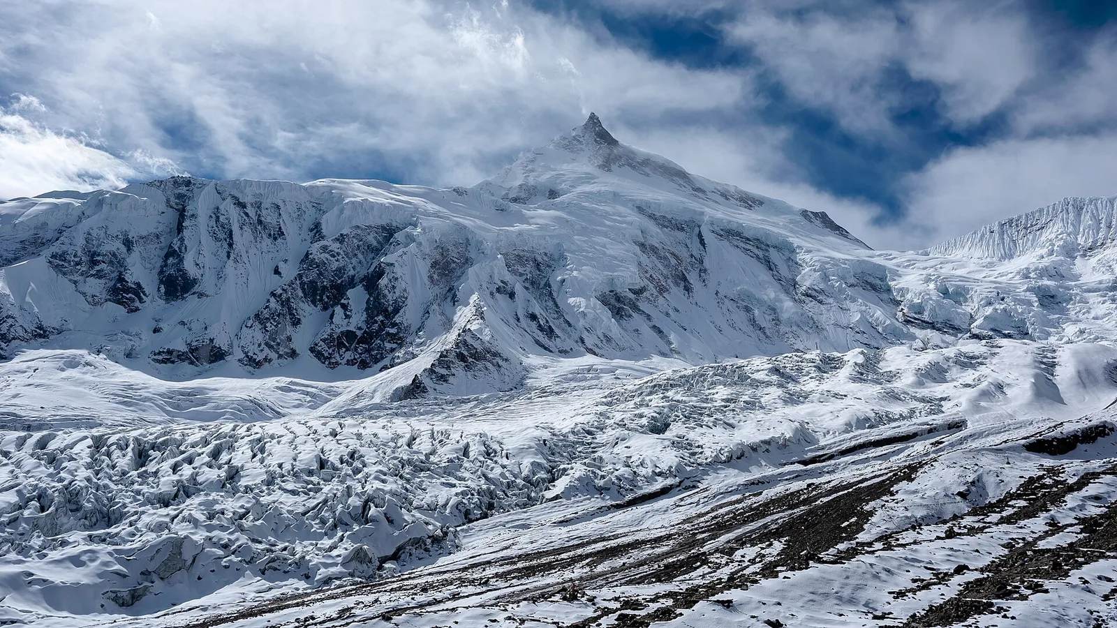
Manaslu's Trekking Trail Washed Out This September, So Climbers Are Flying to Base Camp Instead
A flash flood destroyed two bridges on the Manaslu Circuit in early September 2026, and outfitters are now helicoptering climbing teams past the damage while trekkers wait for repairs.
Industry & Tourism
Nepal Just Put a Mountain Guide on Its Tourism Board, and a 2026 Flood Recovery Fund Just Opened
Five new members joined Nepal's national tourism authority this month, including a Himalayan expedition operator speaking from Manaslu Base Camp, while the PATA Foundation opened a fund to rebuild what the 26 August flood destroyed.
Gear & Tech
Trail shoes or hiking boots, and what the ankle-support research actually found
Most teahouse trekkers wear more boot than the walk needs, and the ankle-support argument holding that up is thinner than the shops suggest.