
Mount Everest's Official Height Was Wrong for 65 Years, Until Nepal and China Finally Agreed in 2020
The number on every map, 8,848.86 metres, only became official on 8 December 2020, after two countries spent over a decade measuring the same mountain and getting two different answers.
At a glance
- Published
- TopicRecords & People
- Verified againstThe Kathmandu Post
- Treks coveredEverest Base Camp Helicopter Tour — 1 Day, Everest Base Camp Trek — 15 Days
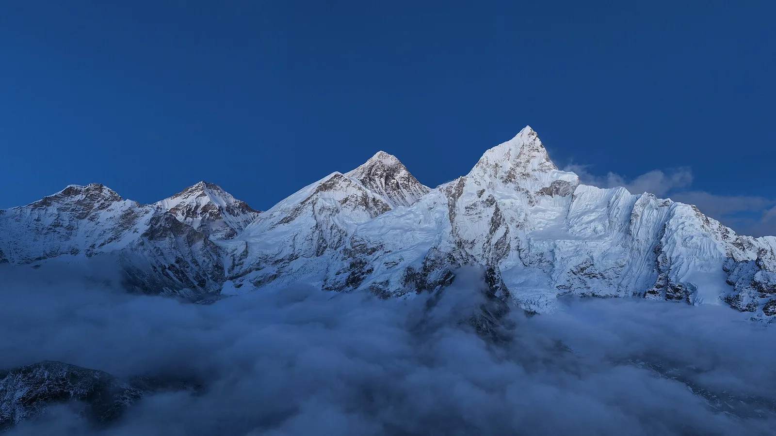
Everest is 8,848.86 metres above sea level. That figure only became official on 8 December 2020, when the foreign ministers of Nepal and China pressed a button at the same moment during a livestreamed ceremony and revealed a number neither country had published before. For 65 years, the world had been climbing, filming and writing about a mountain whose exact height nobody could actually agree on.
Key facts
- Official height since 2020: 8,848.86m (29,031.7 ft)
- Previous global-standard height: 8,848m, fixed by the Survey of India in 1955
- China's earlier rock-only survey (2005): 8,844.43m
- Height gained from the old 1955 benchmark: 0.86m
- Nepal's own survey team reached the summit in May 2019 — its first solo measurement of its own mountain
The gap was never really about the mountain growing overnight, though it does grow, slowly. It was about what counted as the top. China's 2005 figure measured bare rock, stripping out the snow and ice cap that every climber actually stands on. Nepal, and most of the rest of the world, measured the highest point a person can physically reach, ice included. That single difference in definition created a 4.4-metre disagreement that ran for a decade and a half, printed differently in atlases depending on which side of the border published them.
Nepal ended its dependence on foreign survey data in 2017, training its own geodetic team to carry GPS receivers and gravity meters to the summit alongside oxygen bottles and rope. A Nepali team completed the climb and survey in May 2019; a Chinese team followed in May 2020, delayed a year by the pandemic. The two governments then reconciled both data sets and, instead of each publishing a separate number again, announced one figure together for the first time in the mountain's surveying history.
| Survey | Height |
|---|---|
| Survey of India, 1955 (global standard for 65 years) | 8,848m |
| China, 2005 (rock height, ice cap excluded) | 8,844.43m |
| Nepal & China joint survey, announced 8 Dec 2020 | 8,848.86m |
The 2019–2020 expedition data was also used to settle a separate worry. After the 2015 Gorkha earthquake, some geologists suspected Everest might have lost height as the crust shifted. The new survey found no evidence of that — if anything, the mountain has kept rising. Geologists put the long-term growth rate at roughly 4 millimetres a year, driven by the Indian tectonic plate, which continues pushing north into the Eurasian plate at about 5 centimetres annually, the same force that built the entire Himalayan range over the last 50 million years.
What this means for trekkers
What this means for you
Nothing about the trek itself changes — permits, routes and difficulty ratings are exactly as they were before 2020. What the joint survey actually confirms is that the mountain you're looking at from the trail is still growing, millimetre by millimetre, on the same tectonic engine that first pushed it above the Tethys seabed. It also means the 8,848m figure printed in older guidebooks and textbooks is simply out of date.
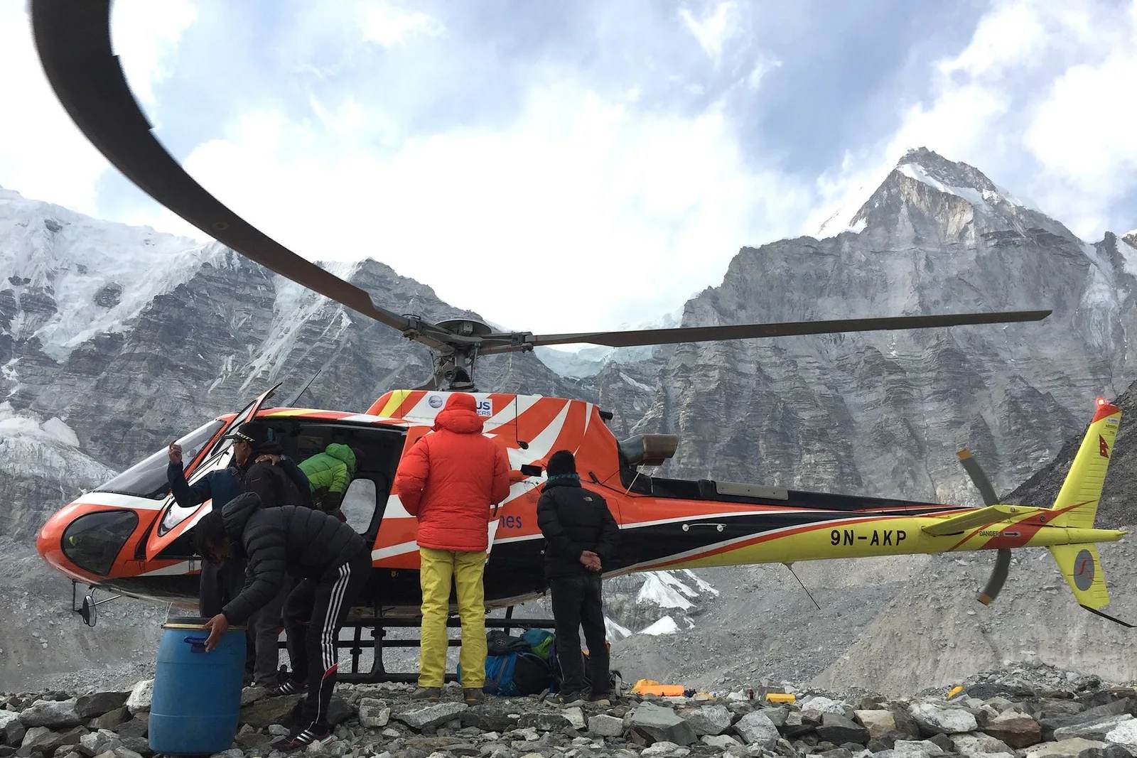
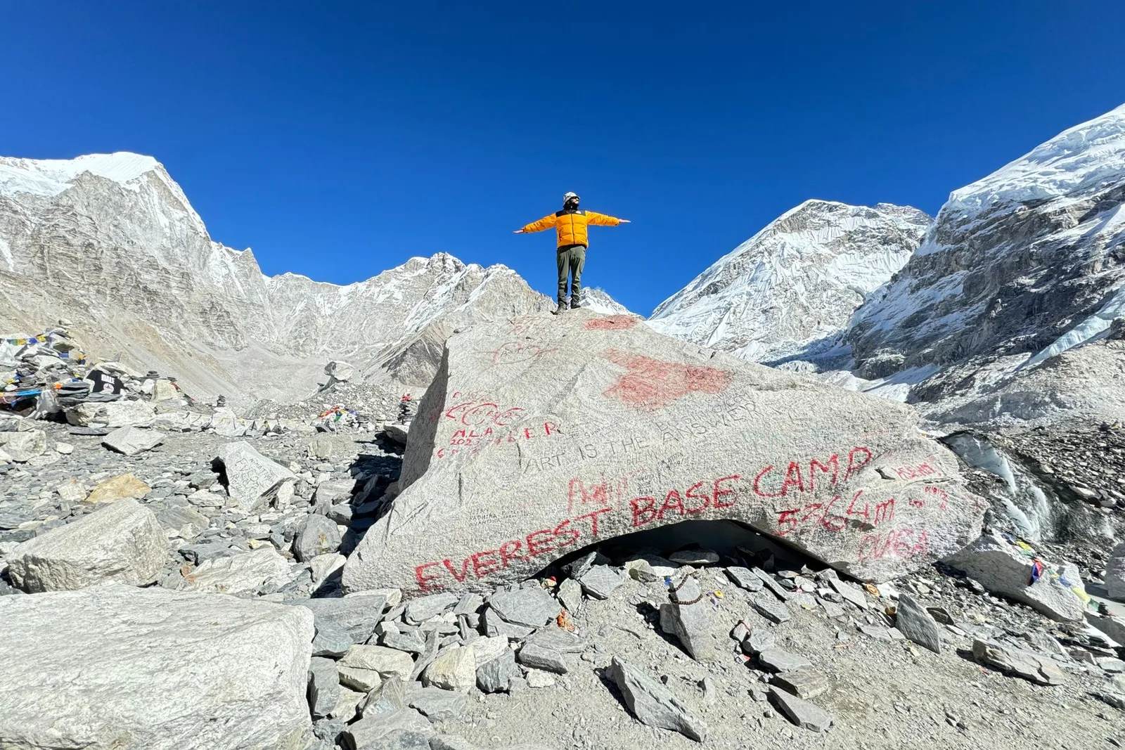
You don't need to summit to see why the number matters. Most trekkers get their first real look at Everest from Kala Patthar or along the Everest Base Camp trek itself, and for travellers short on time or altitude tolerance, an Everest Base Camp helicopter tour covers the same view in a single day. Either way, the mountain in front of you is 86 centimetres taller than every map printed before December 2020.
Sources: The Kathmandu Post, “It’s official: Mt Everest is 8,848.86 metres tall,” 8 December 2020; CNN, “Mount Everest: China and Nepal agree on height after years of dispute.”
Cover photo: Megaurab09 via Wikimedia Commons (CC BY-SA 4.0).
Still running this season
Everest Base Camp Helicopter Tour — 1 Day is running normally
NMA-certified local guides, transparent pricing, 5,000+ treks since 1998. Message us your dates and we'll sort the permits, lodges and logistics — reply within 24 hours, no obligation.
Popular Nepal treks
All treks →
Related coverage
Records & People
The Yeti Footprint Fooled the World for 70 Years — Then DNA Solved It
A grainy 1951 photograph near Everest launched a global legend, until a 2017 study tested nine 'yeti' samples and found six bears of one kind, three of another, and a dog.
Records & People
K2 vs Everest: Which Is Harder to Climb? The Honest Head-to-Head (2026)
K2 is 238 m shorter than Everest but kills roughly one climber in ten — a dimension-by-dimension comparison of height, technical difficulty, weather, rescue and death rate, and why K2 is “the Savage Mountain.”
Records & People
Mount Everest Is Still Growing — and a Hijacked River 47 Miles Away Is Pushing It Up
A 2024 study in Nature Geoscience found the world's tallest mountain gains roughly 2mm a year from an ancient river 'piracy' event on top of the tectonic collision that built it in the first place.
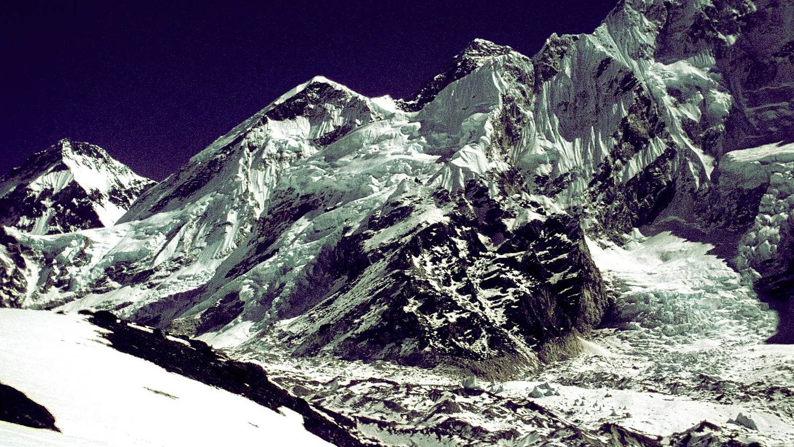
Records & People
Everest Records: The Fastest, Oldest, and Most Summits
Mount Everest's verified record book — who has summited most, who was oldest and youngest on top, and the fastest ascent ever timed, with every name, number and year sourced.
Latest from the desk
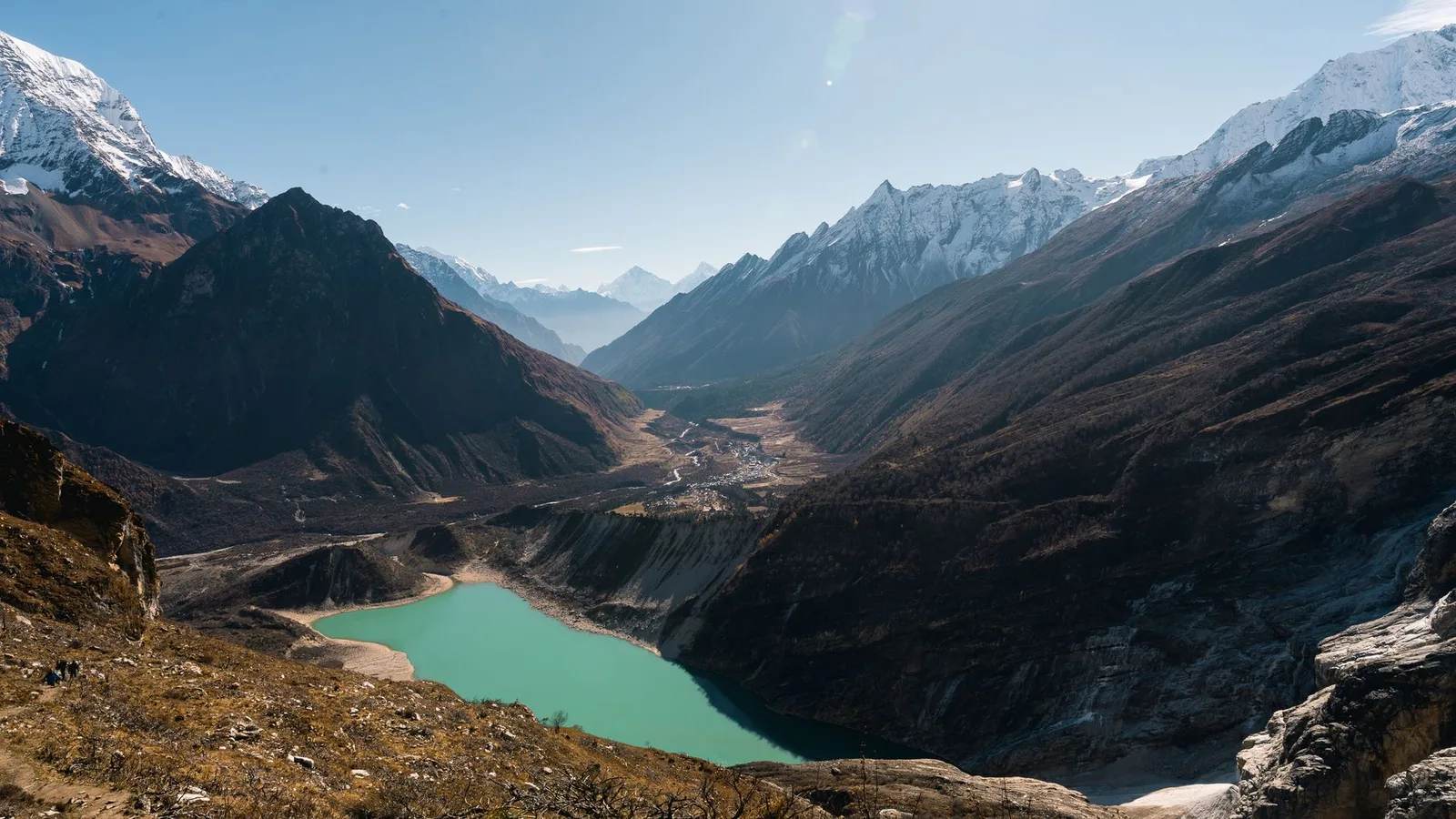
Records & People
Nepal's Gokyo Lakes Turn an Impossible Turquoise Every Autumn, and Rock Dust Is Why
Six sacred glacial lakes above Everest sit higher than almost any freshwater on Earth, and the colour that makes trekkers stop mid-stride comes down to stone ground fine enough to float.
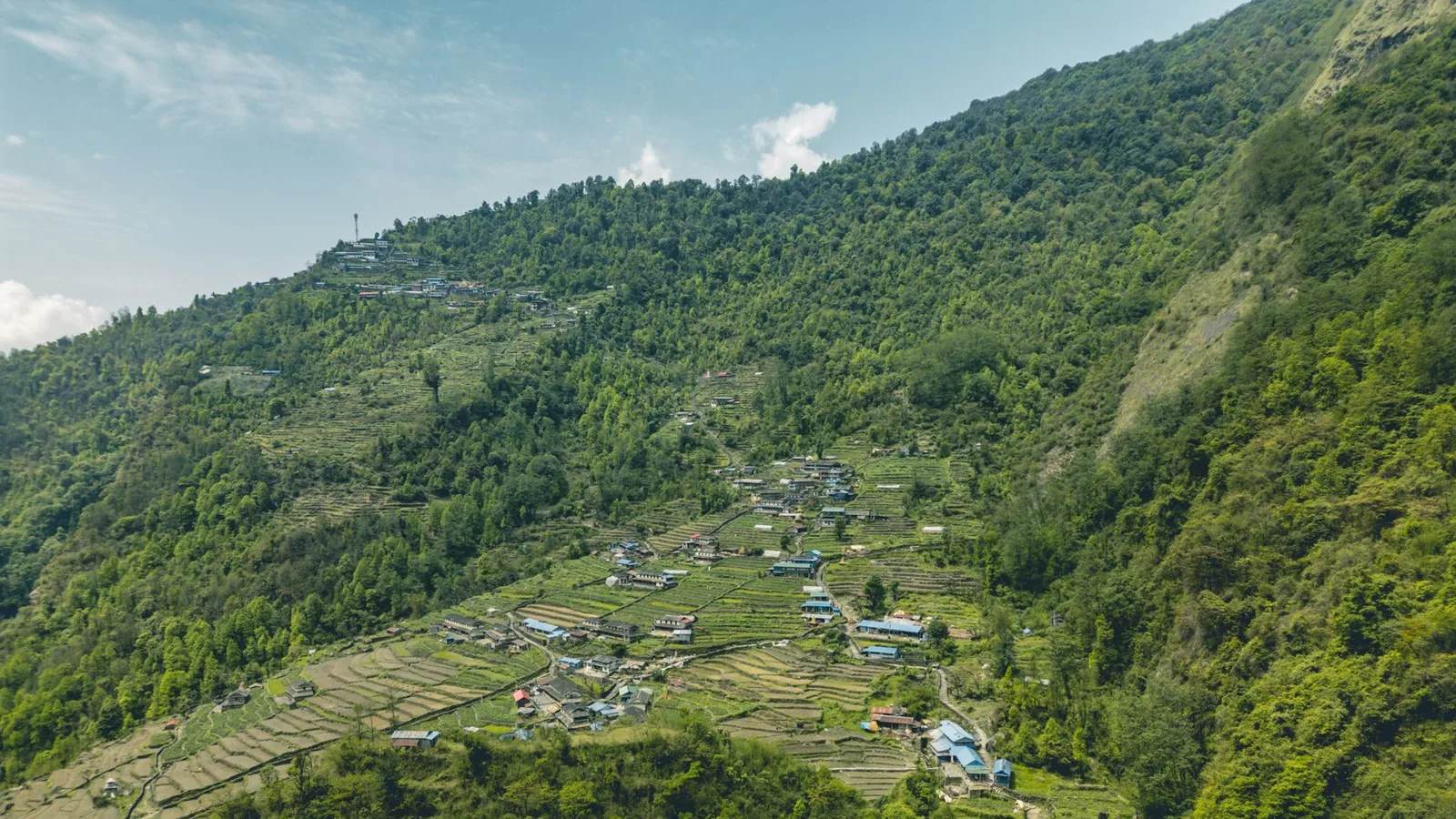
Records & People
Nobody Tells You Nepal's National Flower Turns Whole Mountainsides Crimson Every Spring
Nepal's national flower isn't grown in a garden bed — it's a forest tree that turns entire hillsides red for about six weeks a year, and the bloom climbs the mountain in a predictable wave.
Gear & Tech
Waterproof jackets fail in a way the label never warns you about
A jacket can be sold as waterproof at 1,500 mm. What the ratings actually measure, why yours feels like it leaks, and the details worth more than the number.