 预订最多
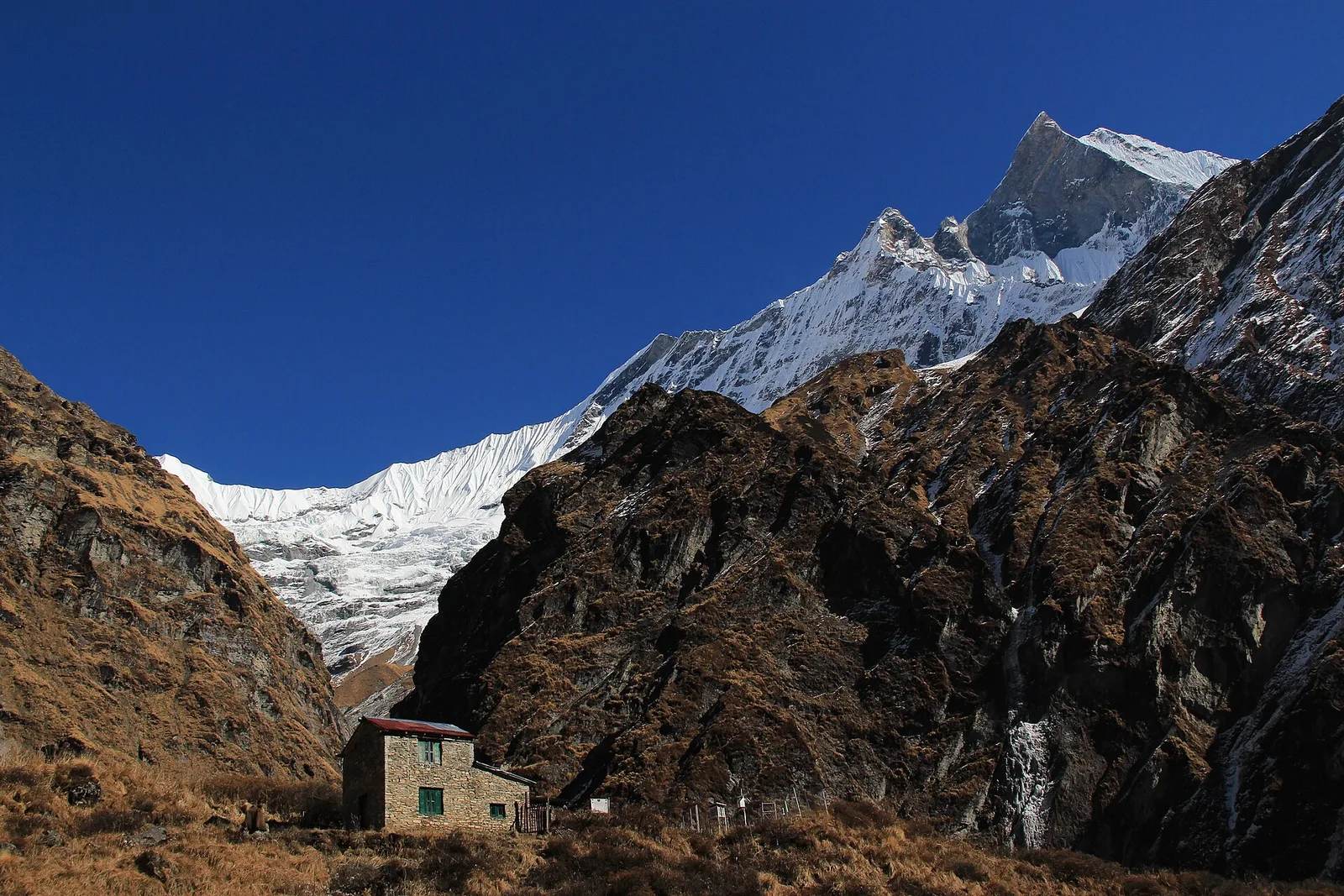
预订最多安纳布尔纳大本营徒步——5天
5.05 天 · 尼泊尔
$580 · 每人
Nepal floods: Everest, Annapurna and Manaslu are unaffected and running normally.
The 26 August flood hit one corridor in northern Rasuwa. Langtang-region treks are paused while the access road is rebuilt — everything else is operating as usual.
尼泊尔 · 世界屋脊 · 始于1998年
Search 106 guided treks, tours and peak climbs — led by NMA-certified Pokhara guides since 1998, with zero fatalities.
始于 1998 年
29 years guiding
NMA certified
Licensed mountain guides
零事故
5,000+ treks led
Nepali-owned
Based in Pokhara




 预订最多
预订最多 客人最爱
客人最爱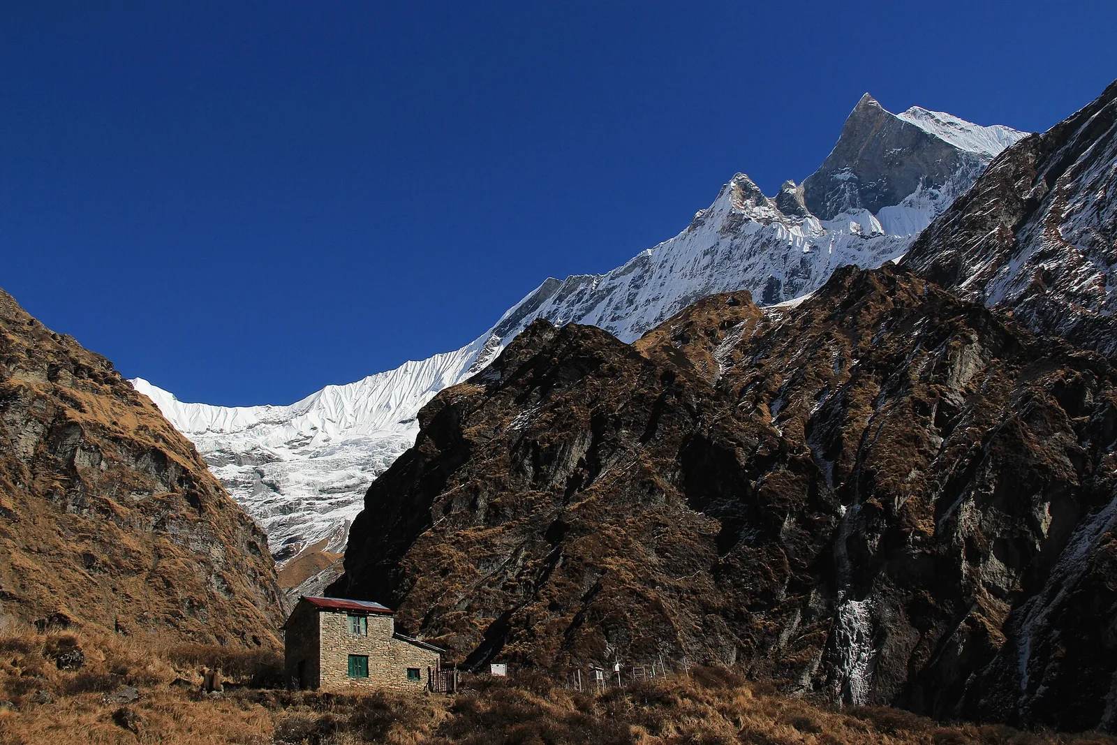 超值之选
超值之选 全新
全新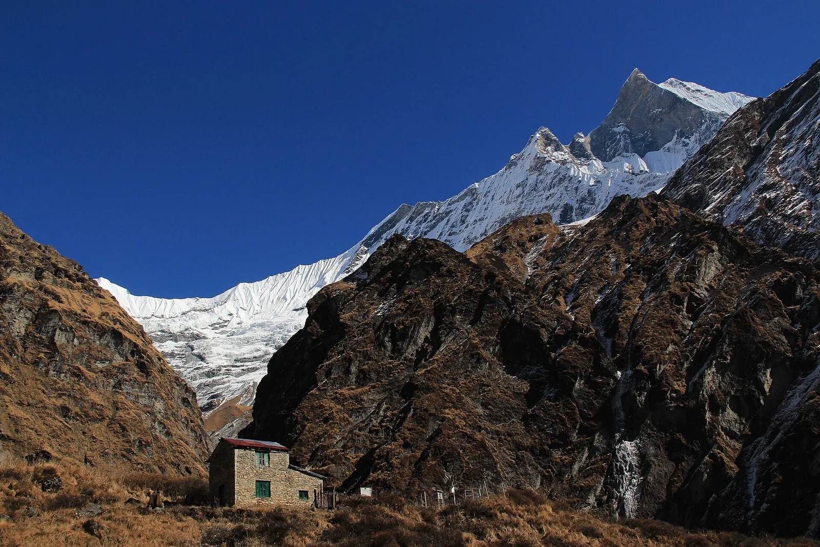
 预订最多客人最爱超值之选全新
Before you ask
The five things people actually worry about before booking a trek in Nepal — answered plainly, not in a footer FAQ.
Every trek is led by an NMA-certified guide trained in wilderness first aid. We carry oxygen and a pulse oximeter on all high-altitude routes, build in proper acclimatisation days, and turn people around when the mountain says so. In 29 years and more than 5,000 treks we have never lost a client.
Zero fatalities since 1998
When to go
秋季
9月 – 11月
春季
3月 – 5月
冬季
12月 – 2月
雨季
6月 – 8月
Still unsure? Ask us anything — a real guide answers, usually within the hour.
为何选择尼泊尔
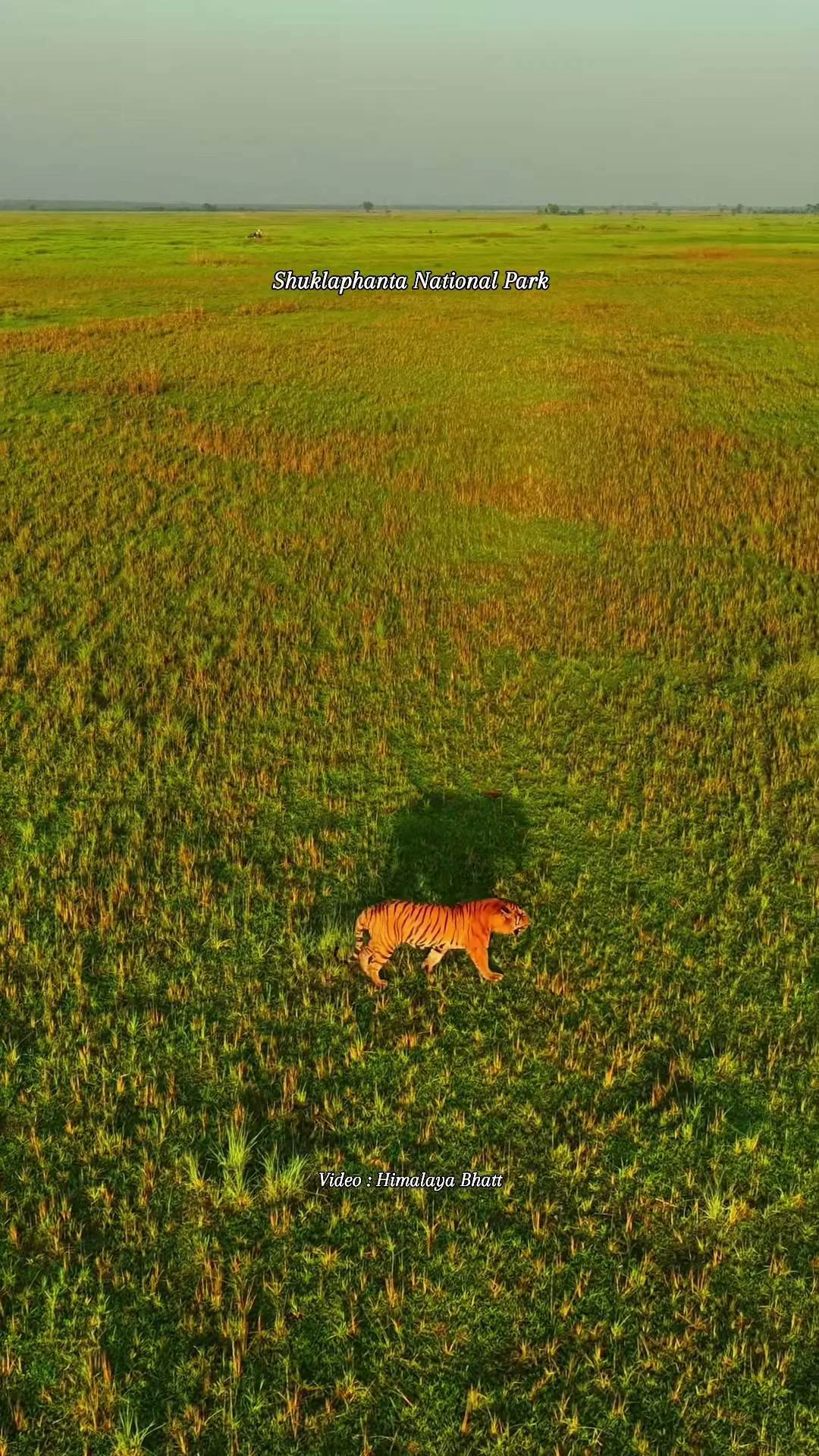
世上再无别处,能让你从蒸腾的丛林出发,途经犀牛与老虎,穿过梯田与杜鹃花林,登上地球最高群峰之下的稀薄蓝天——这一切都在一个可徒步穿越的国度完成。
尼泊尔不是漫长旅途中的一站,它本身就是这段旅程。29年来,我们一直在向旅行者展示其中的缘由。
一个充满极致的国度
您徒步背后的团队
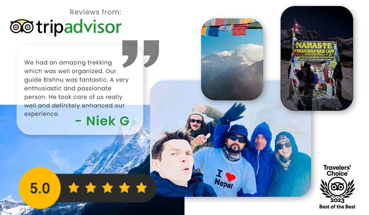
Travelers’ Choice 2023 · Best of the Best
A perfect 5.0 on TripAdvisor across hundreds of Himalayan treks — here’s one of them.
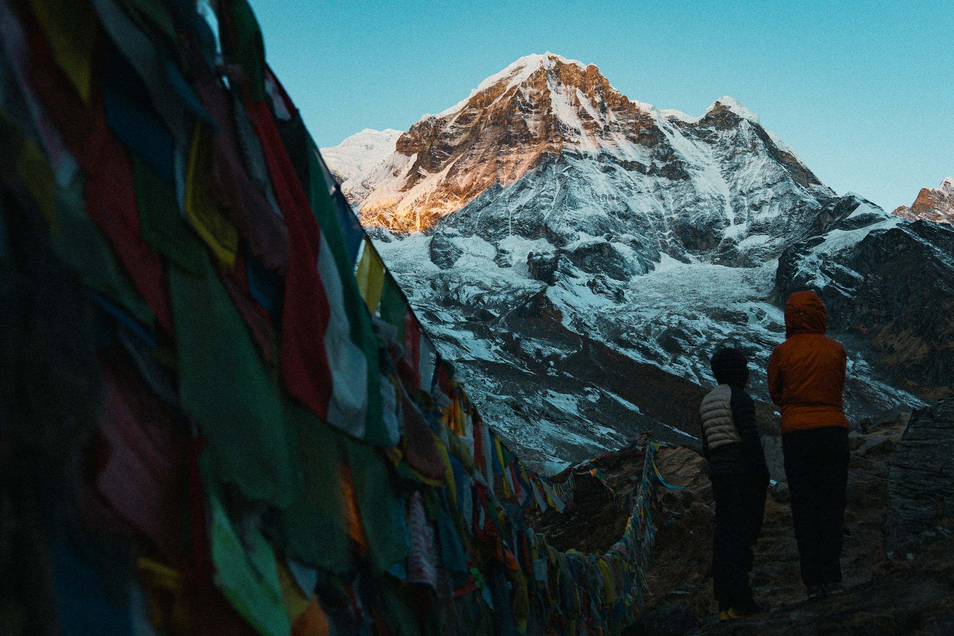
“I'm 58 and had never trekked above 2,500m before this trip. Guide Tshering set a pace I could manage without it ever feeling patronizing — we just walked at the speed the mountain required. Standing at 4,130m on the final morning, Annapurna I directly above me, I realized I had been underestimating myself for years.”
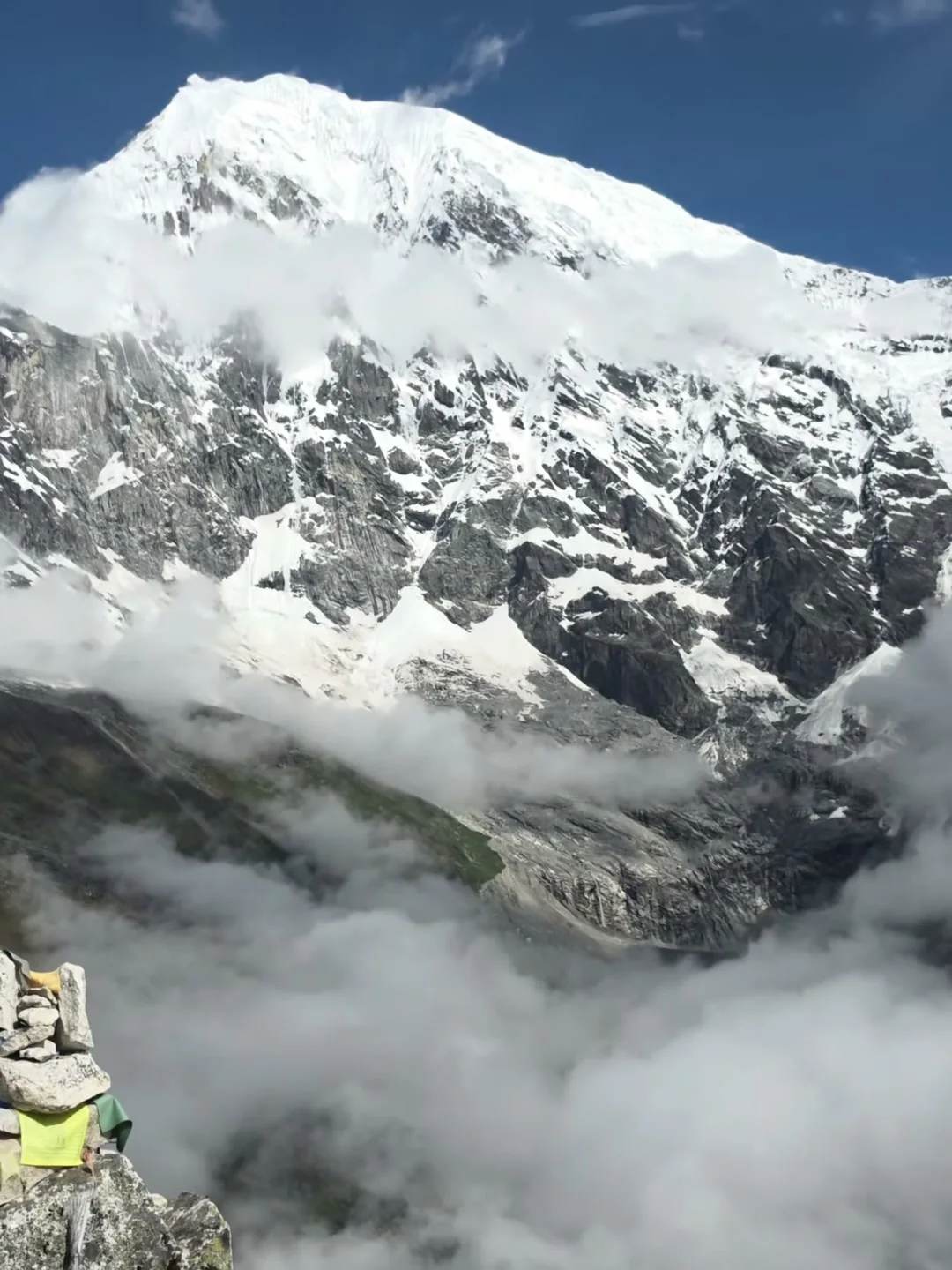
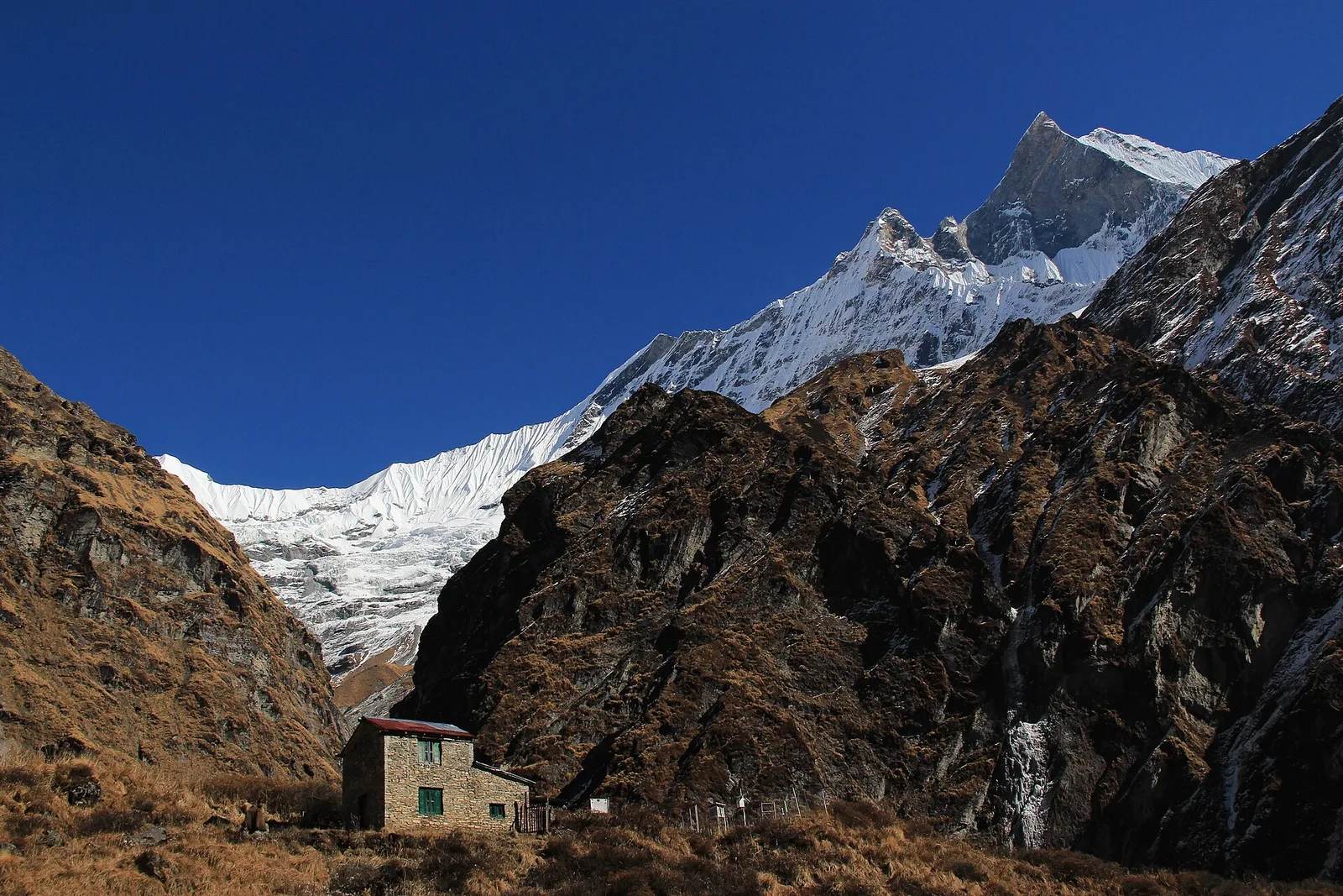
“On day four at Deurali, a snowstorm closed in and our guide Mingma made the call to stay put rather than push to MBC. He was right. We woke to clear skies at 4am, hiked to base camp in perfect conditions, and had the sanctuary almost entirely to ourselves. His judgment at altitude is something I trusted completely by that point.”
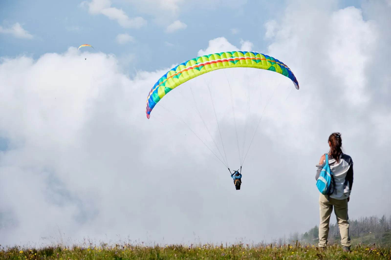
“We almost booked a paragliding flight instead. I'm glad we didn't. The ridge walk took four hours and our guide Sunil stopped at every viewpoint without us having to ask. Pokhara and Phewa Lake from above, the full Annapurna range to the north — my husband said it was the best morning of our two-week Nepal trip. He was right.”
Rated across the web
“I'm 58 and had never trekked above 2,500m before this trip. Guide Tshering set a pace I could manage without it ever feeling patronizing — we just walked at the speed the mountain required. Standing at 4,130m on the final morning, Annapurna I directly above me, I realized I had been underestimating myself for years.”
“On day four at Deurali, a snowstorm closed in and our guide Mingma made the call to stay put rather than push to MBC. He was right. We woke to clear skies at 4am, hiked to base camp in perfect conditions, and had the sanctuary almost entirely to ourselves. His judgment at altitude is something I trusted completely by that point.”
“We almost booked a paragliding flight instead. I'm glad we didn't. The ridge walk took four hours and our guide Sunil stopped at every viewpoint without us having to ask. Pokhara and Phewa Lake from above, the full Annapurna range to the north — my husband said it was the best morning of our two-week Nepal trip. He was right.”
Keep reading
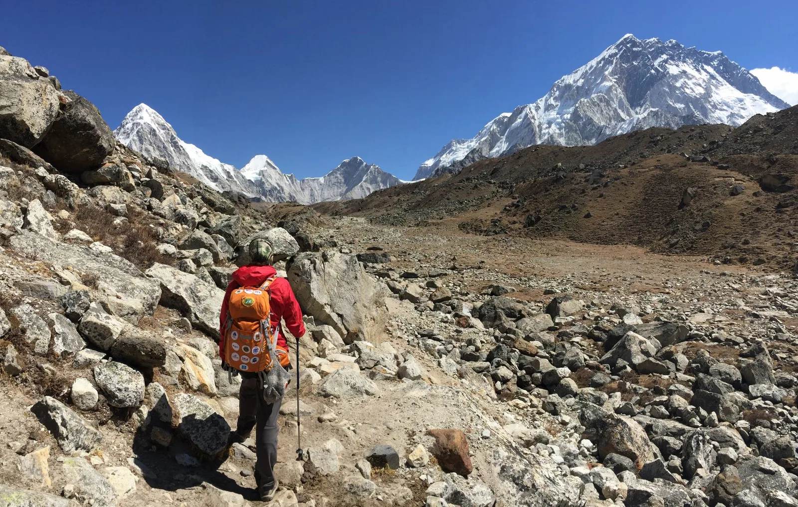 Your gear will not break in Nepal, it will quietly stop working above 4,000 metresCold and thin air do not break trekking gear, they stop it working. What fails above 4,000m, at what altitude, and the four items to rent instead of buy.
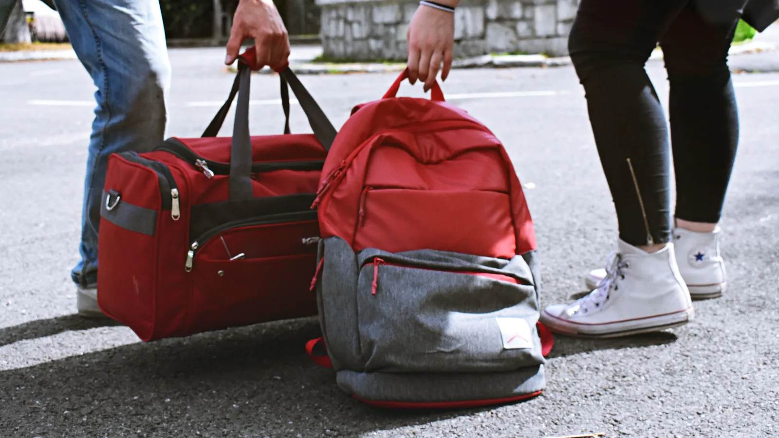 How to choose travel luggage without buying the wrong bag twiceOne bag, 40 to 65 litres, soft-sided. Hard vs soft, wheels vs straps, what size actually works, and where the money is worth spending.
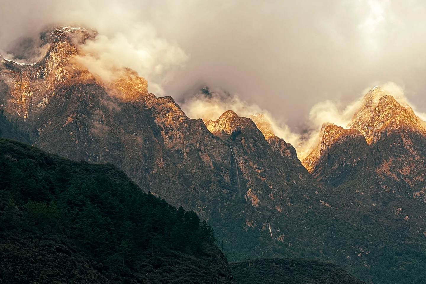 How to claim on your Nepal travel insurance after a rescue, and the one call that decides itCall the insurer 24-hour line before the helicopter flies, then collect an itemised invoice, an English diagnosis and every receipt.
Browse by region
Guides & experiences
准备好登顶了吗?
把您的日期、体能与梦想海拔告诉 Himal AI。它将在数分钟内为您打造专属行程——免费,无需承诺。